|
|
|
|
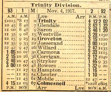
Trinity Division of the The Wobbly December 29, 2017 |
|
|
|
|
|
|
|
|
|
|
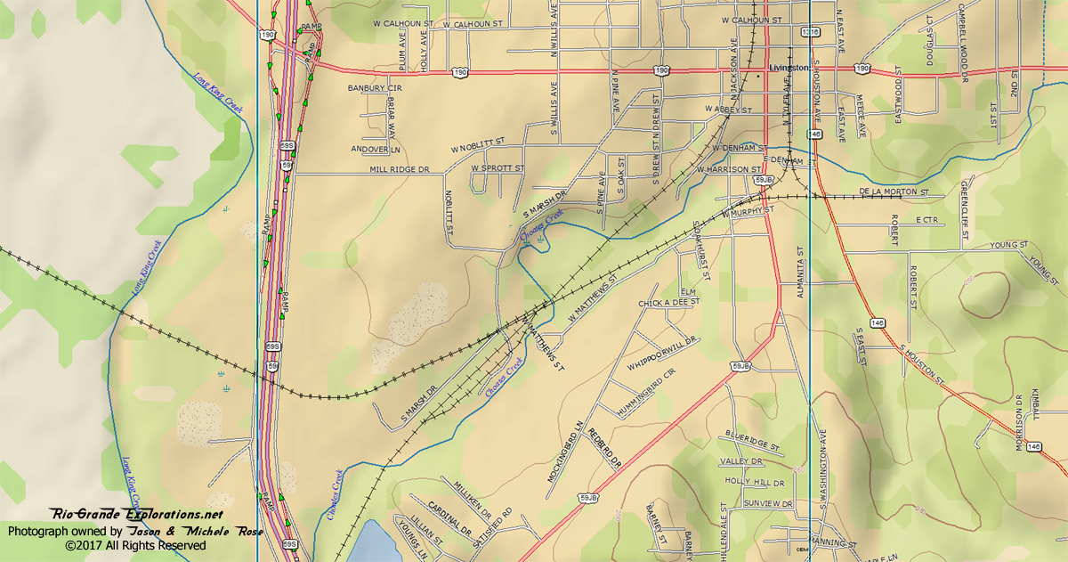
Looking west towards Blanchard, Onalaska, and Trinity from the corner of Ogletree and S Brock streets. This is where the Wobbly yard and wye in Livingston began.
|
|
|
|
|
|
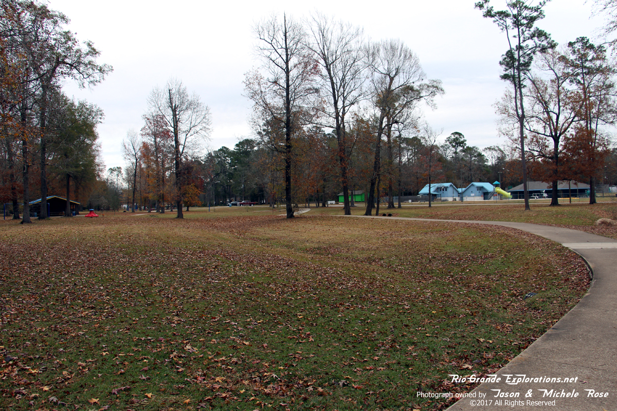
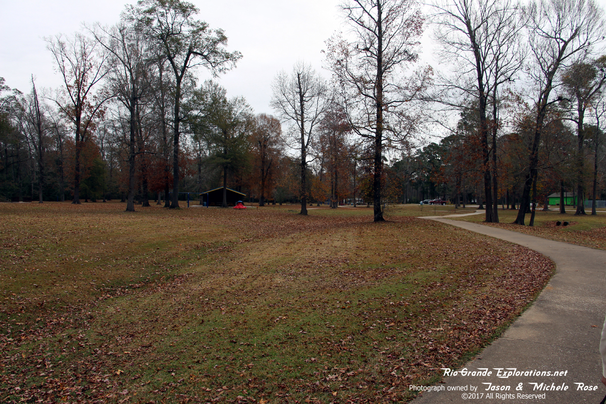
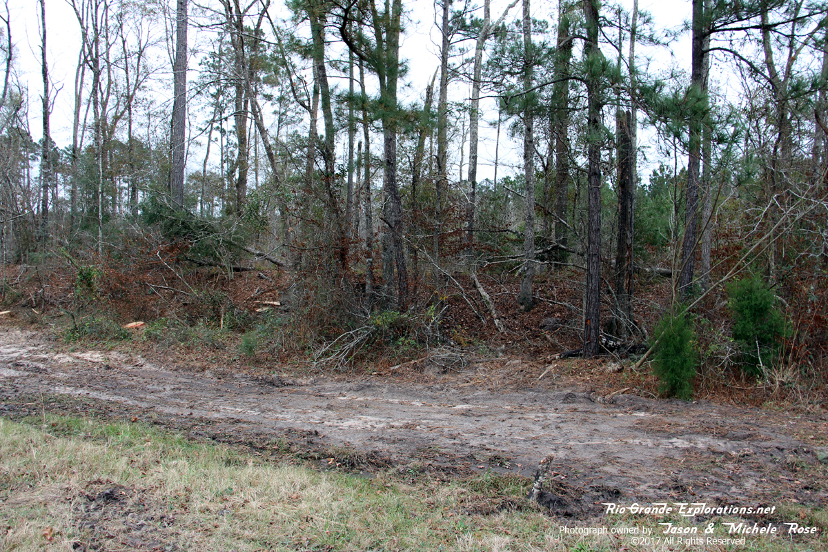
Just west of the previous photo, you can see the grade in the park along S Matthews street. It took several minutes of walking around the park to locate the grade, during which time we nearly froze in a rare Texas cold snap.
|
|
|
|
|
|
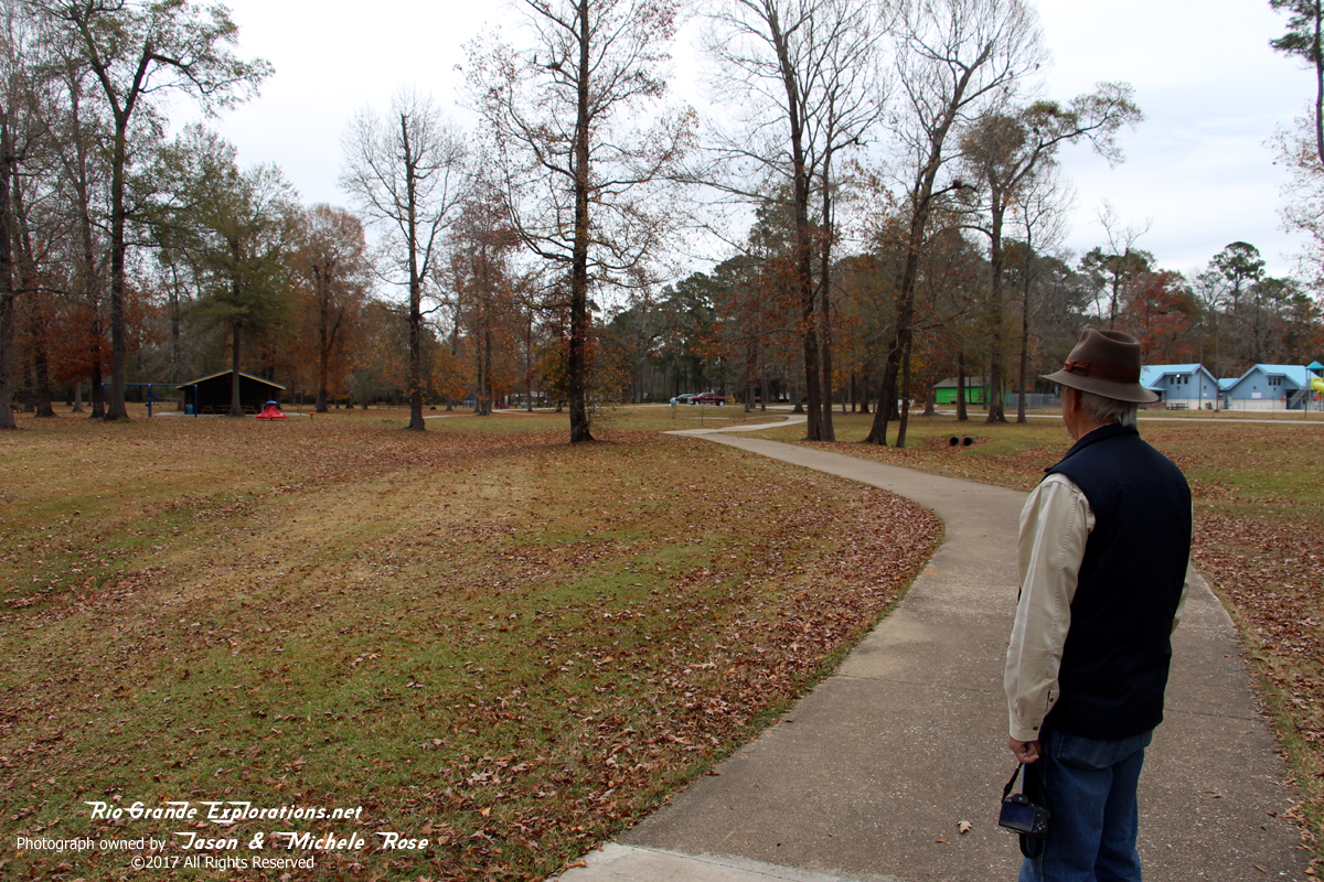
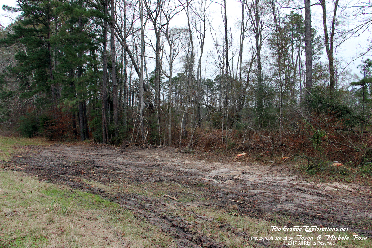
I'm standing on the grade and it proceeds directly away from the camera towards the Livingston Yard about a half mile east.
|
|
|
|
|
|
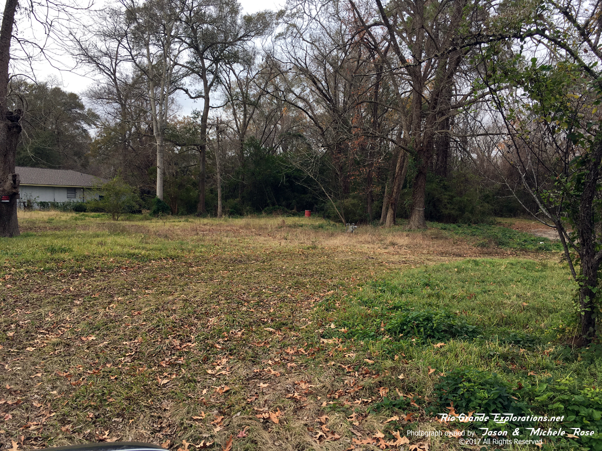
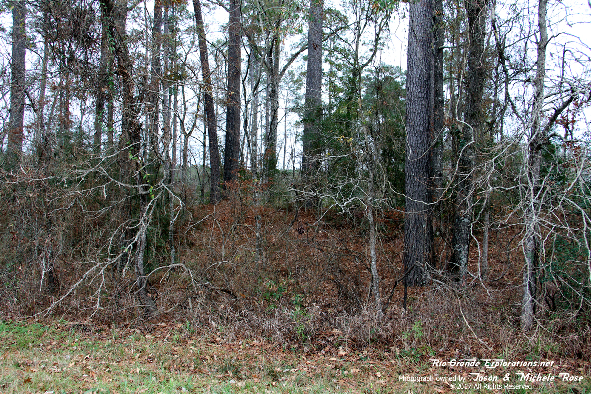
Everett surveys the nearly indiscernible grade of the long-gone Wobbly. This section was abandoned in 1949.
|
|
|
|
|
|
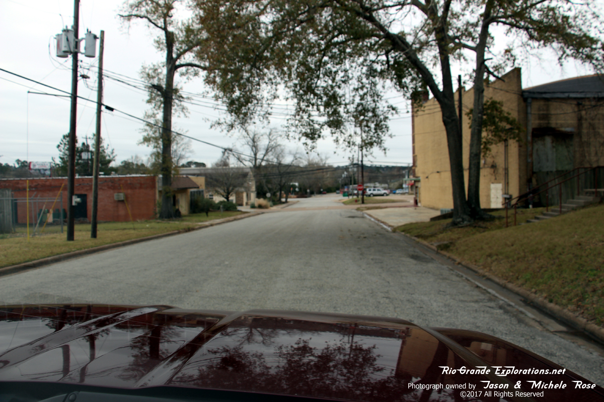
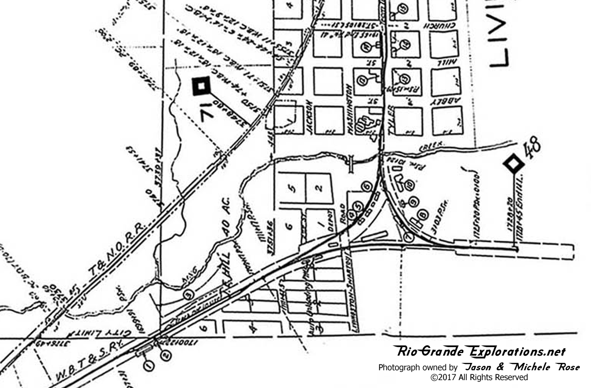
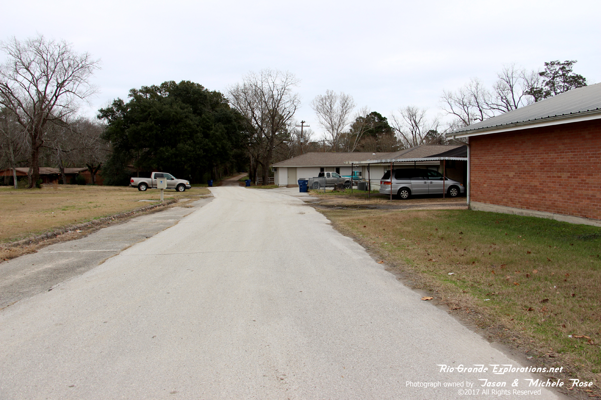
Driving south on Tyler Ave. This was the north tail of the Livingston Wye
|
|
|
|
|
|
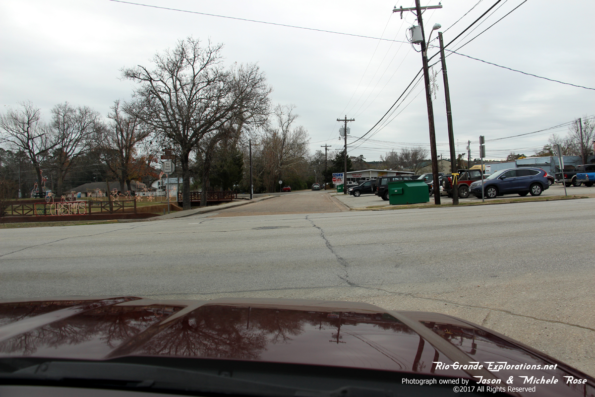
Further south on Tyler
|
|
|
|
|
|
|
|
|
|
|
|
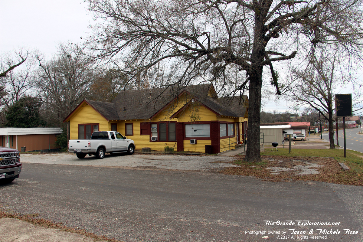
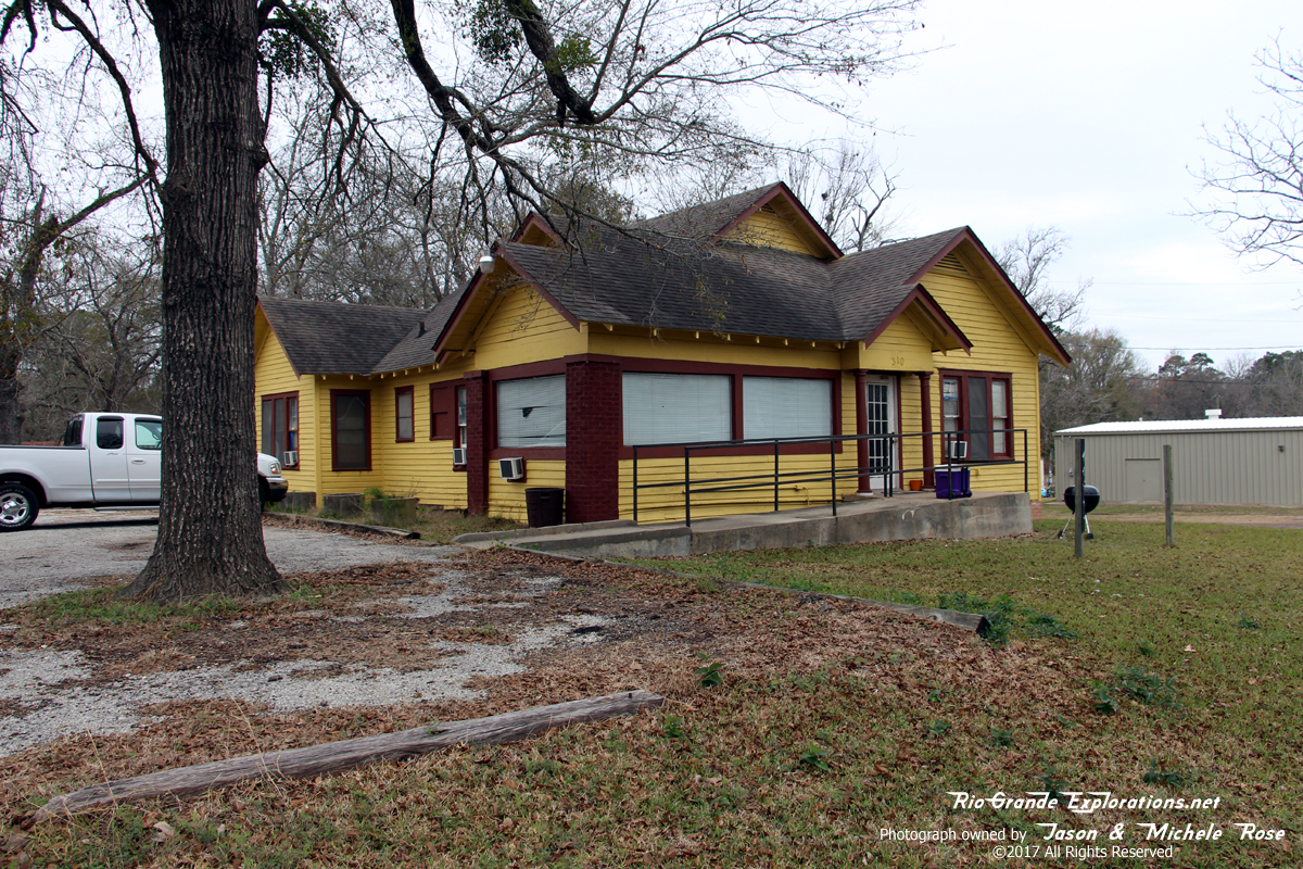
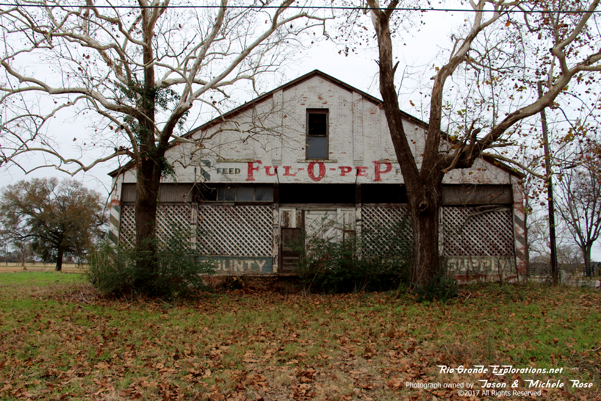
After our second pass of this structure it hit me that it just might be the Livingston Depot or perhaps a Section House. Close examination of the map above indicated that it likely is the Depot, but was moved about 60 yards south, outside the wye. No period photos have yet been located, so a definitive answer will have to wait.
|
|
|
|
|
|
Sure looks like a railroad structure to me.
|
|
|
|
|
|
Looking east on De La Morton street. This was the eastern tail of the Livingston Wye.
|
|
|
|
|
|
Furthest eastern point on the Beaumont Division of the ol' Wobbly
|
|
|
|
|
|
Looking west from the approximate location of the eastern switch of the wye: corner of De La Morton and S Houston Ave.
|
|
|
|
|
|
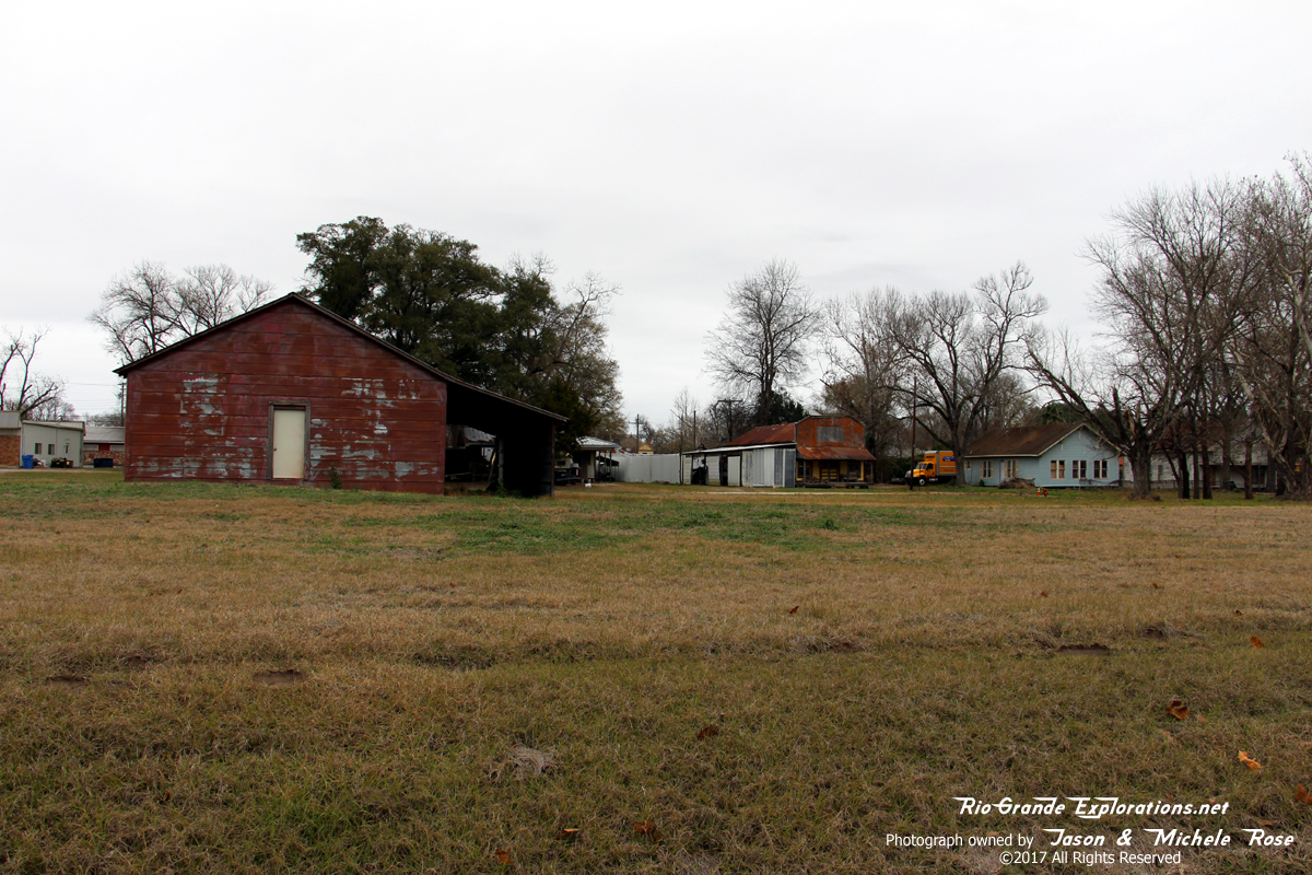
Likely some old lumber mill structures, but could be railroad-related: on De La Morton.
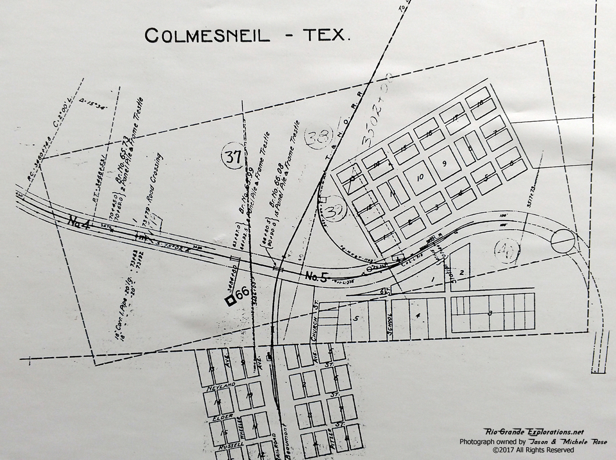
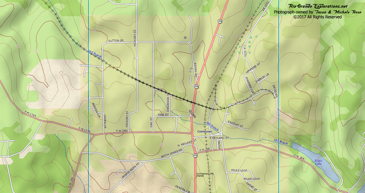
Colmesneil MP ~67 |
|
|
|
|
|
|
|
|
|
|
|
SP Line - Beaumont to Lufkin/Dallas.
In 1900-1903, the Texas & New Orleans built 160 miles of
railroad connecting Rockland and the Sabine & East Texas
Railroad with the Texas Trunk Railroad, also owned by the T&NO. This
formed a through route between Dallas and Beaumont, although
it was never considered an important main line. Early on,
the railroad featured a pair of passenger trains each way,
but by the mid 1930's passenger service was an overnight
mixed train between Dallas and Beaumont, which for a time,
even carried a Pullman sleeper. This run was scheduled at
13.5 hours, and was usually entrusted to an MK-5 2-8-2, like
the 773 in Grapevine, the 786 in Austin and the 745 in New
Orleans. By 1940, the Pullman had been taken off
although the mixed train survived into the early 1960's, I
think. In the mid 1980's the entire line was rebuilt from
dirt ballast, jointed 90# rail line to welded rail,
115-121# line for chemical tonnage from Beaumont direct to
Dallas and for drop off at the Rabbit Line connection in
Nacogdoches to go to Shreveport. Lack of any local traffic
by this time and the SP's desperate financial straits
resulted in the abandonment of the line in the early 1990's
and by 1995 the rail had been pulled.
-Everett Lueck
|
|
|
|
|
|
The Colmesneil Turntable may have been located in the distant far right... if it existed. On the map above it isn't clear whether the turntable was planned for the future or previously abandoned. However, the lack of any other turning arrangement seems to indicate the turntable likely existed. No evidence either way has yet been located.
|
|
|
|
|
|
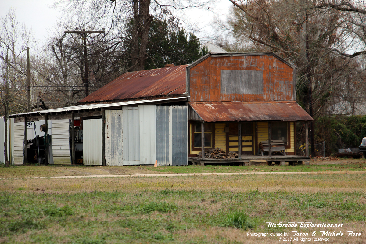
Not sure what this was, but it's on the ROW and sure looks like it has a railroad heritage.
|
|
|
|
|
|
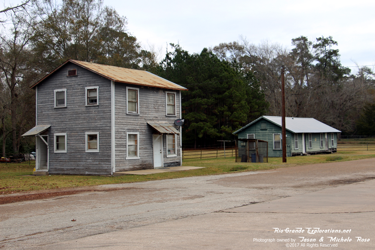
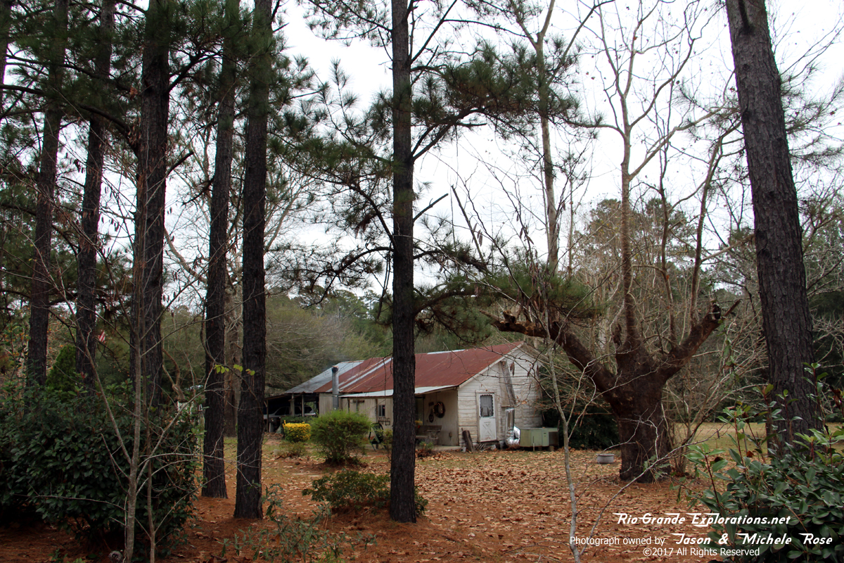
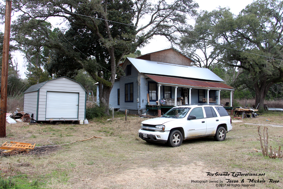
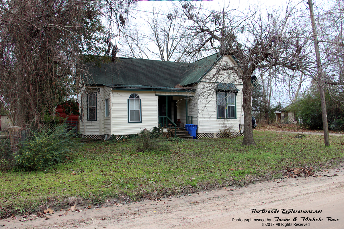
The front half of this structure is likely the Colmesneil Depot. We can't be sure, but it certainly looks like a depot and is in exactly the right location for it. Someday, perhaps we'll locate photographic evidence to support this ascertain.
|
|
|
|
|
|
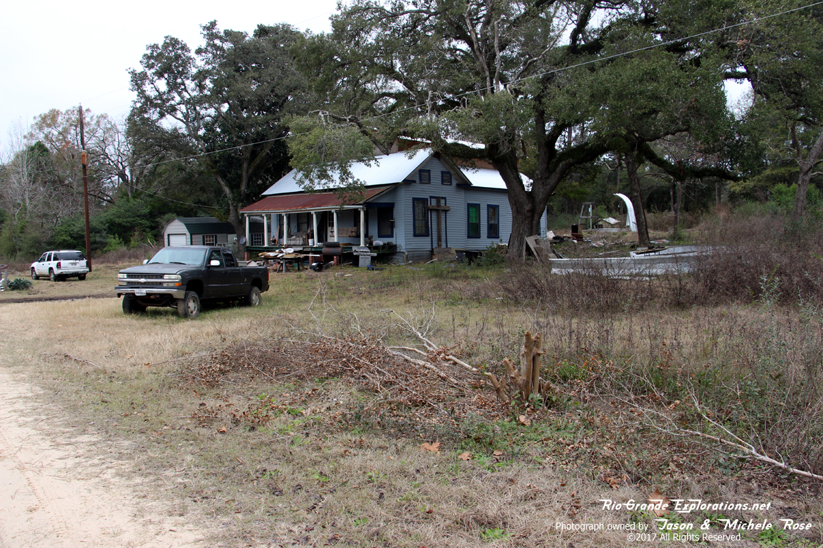
Another view of the Depot
|
|
|
|
|
|
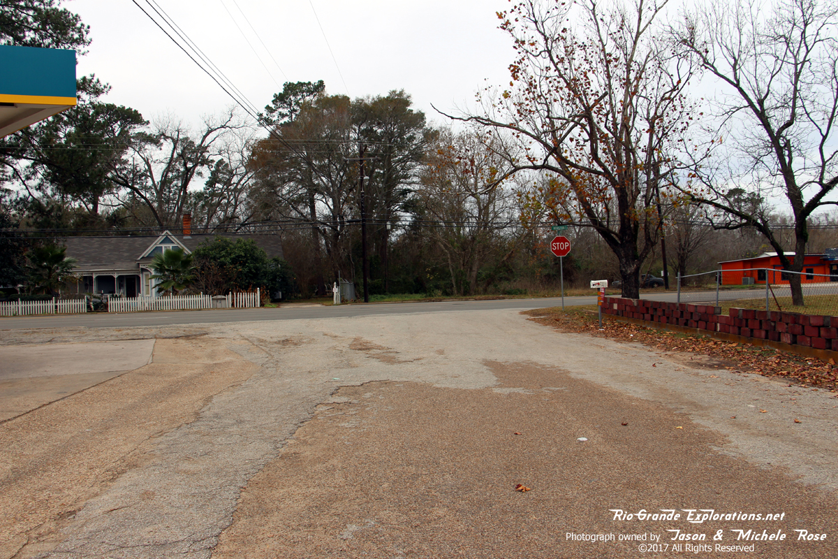
This is the former Southern Pacific line in Colmesneil, looking north.
|
|
|
|
|
|
Remnants of ties just off the SP ROW
|
|
|
|
|
|
Looking south along the SP ROW
|
|
|
|
|
|
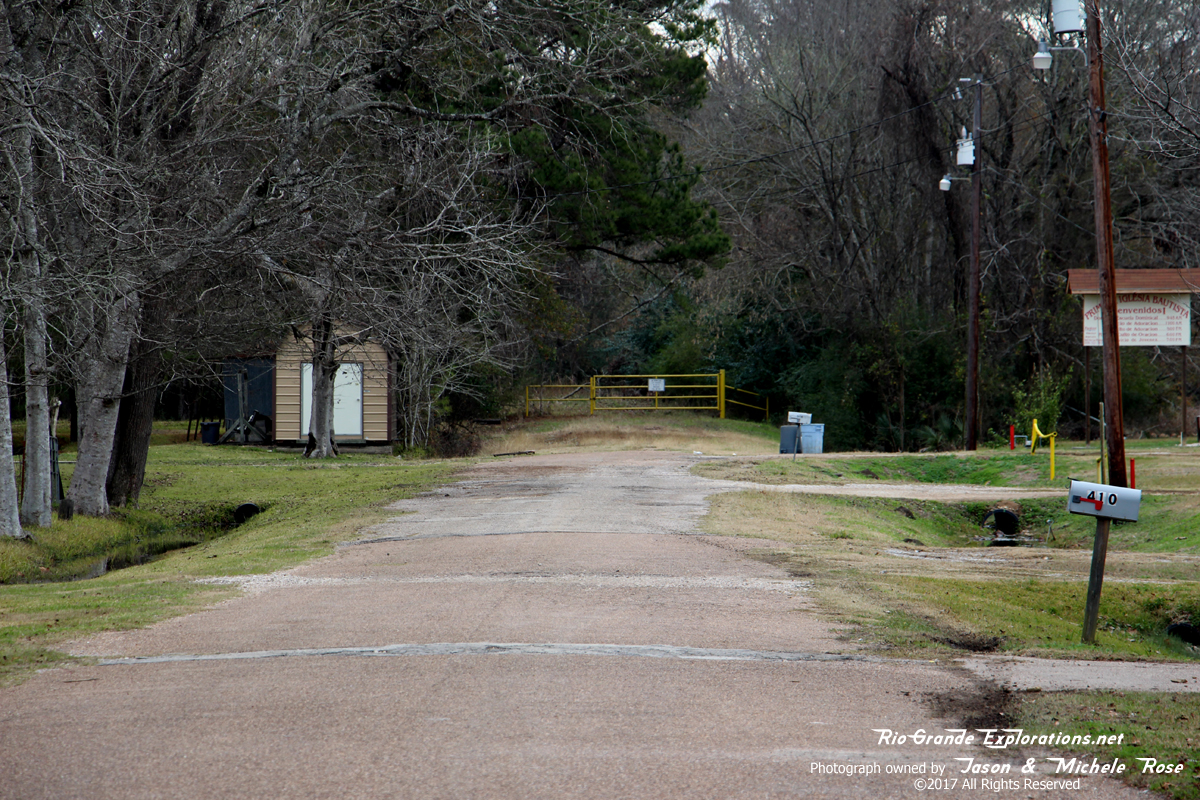
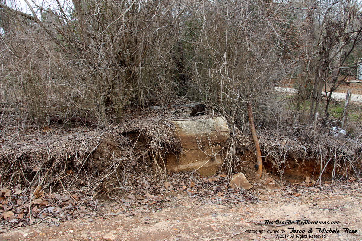
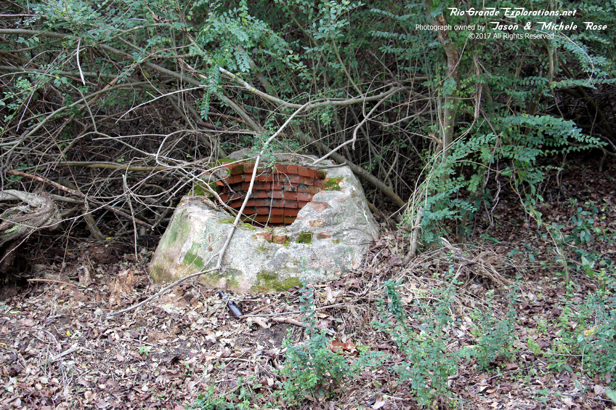
Base for Crossing Guard Lights
|
|
|
|
|
|
Another base for Crossing Guard Lights
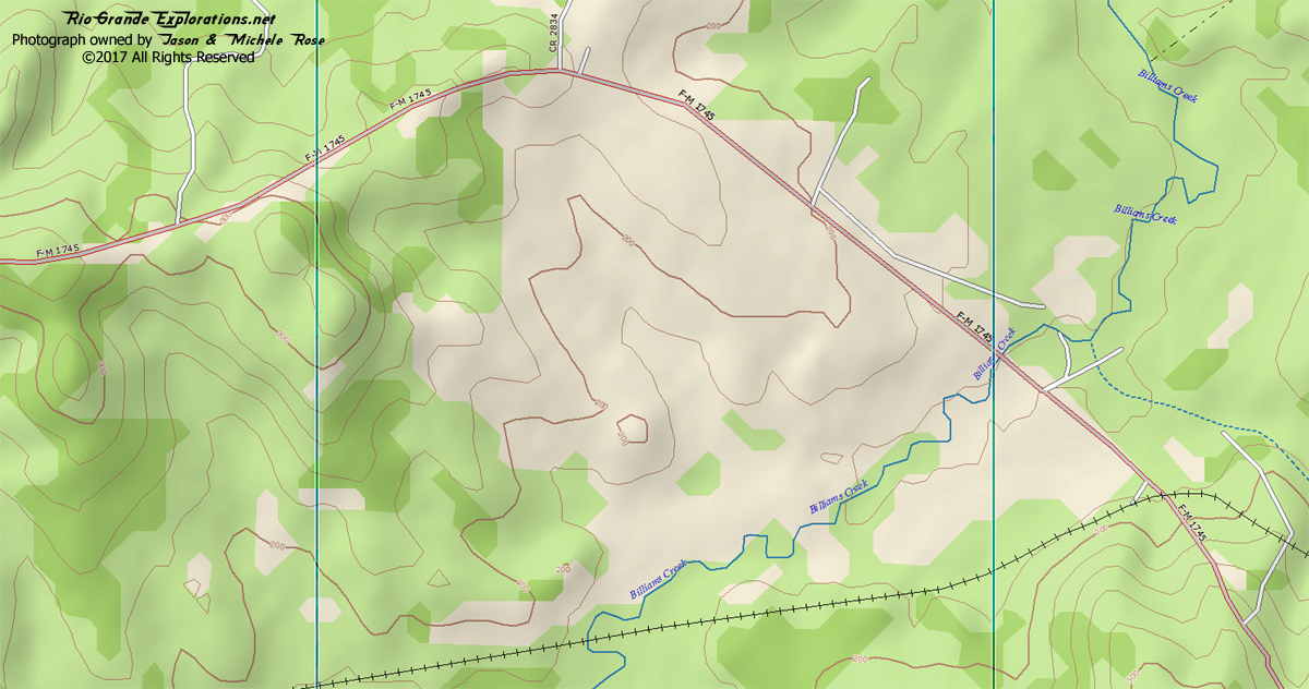
East of Colmesneil / Billiams Creek |
|
|
|
|
|
|
|
|
|
|
|
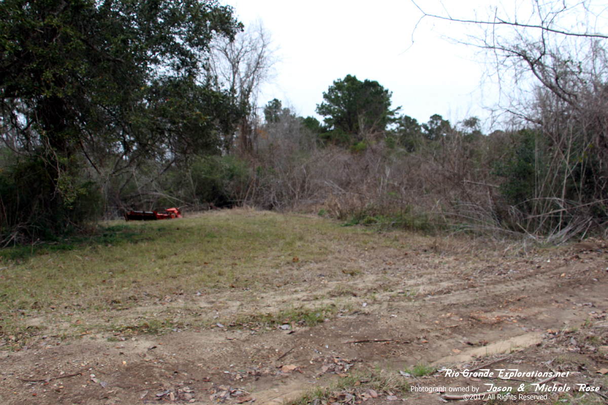
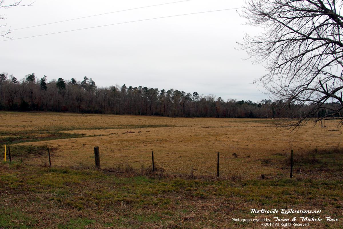
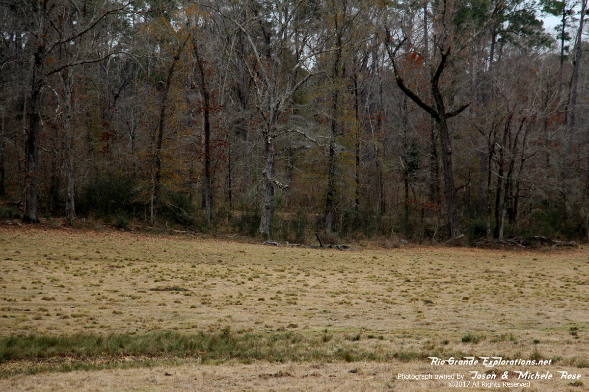
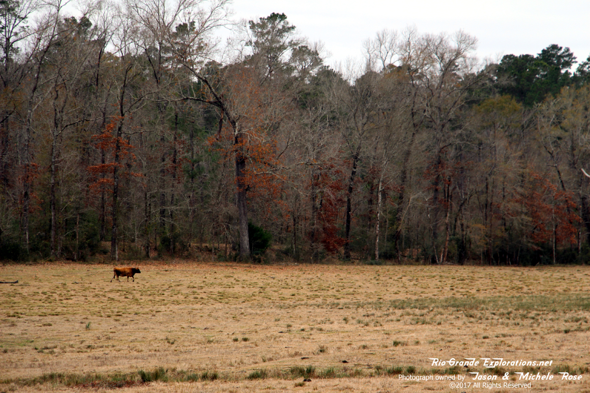
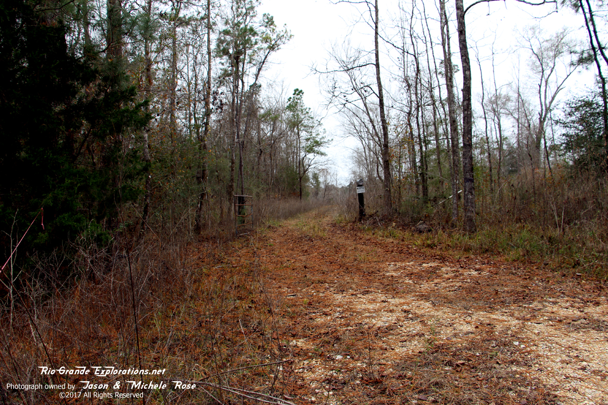
Just east of Colmesneil, FM 1745 diverges from the Wobbly grade and is separated by a cow pasture. Surprising, the grade is clearly visible just inside the treeline across the pasture.
|
|
|
|
|
|
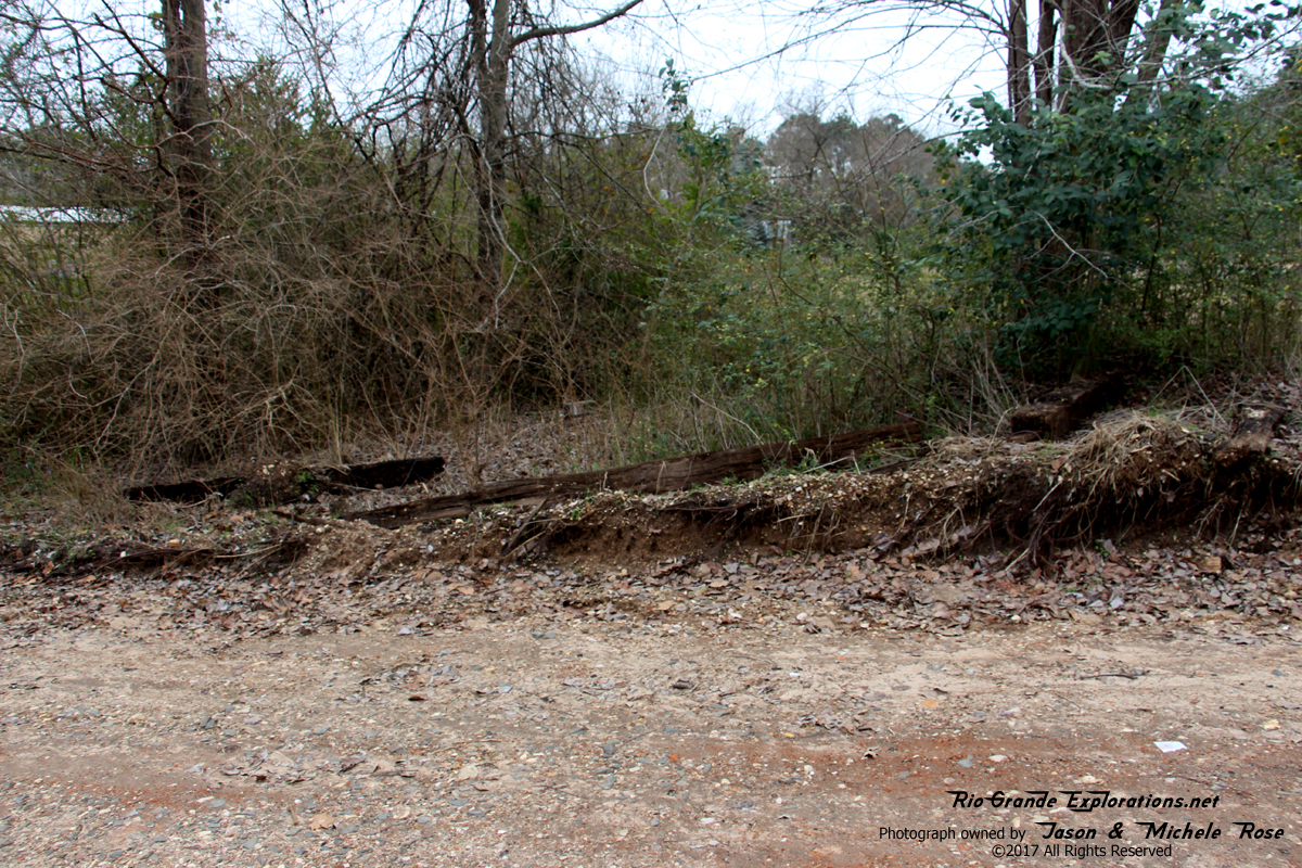
The Wobbly grade... clearly defined and easily visible through the limited winter foliage.
|
|
|
|
|
|
|
|
|
|
|
|
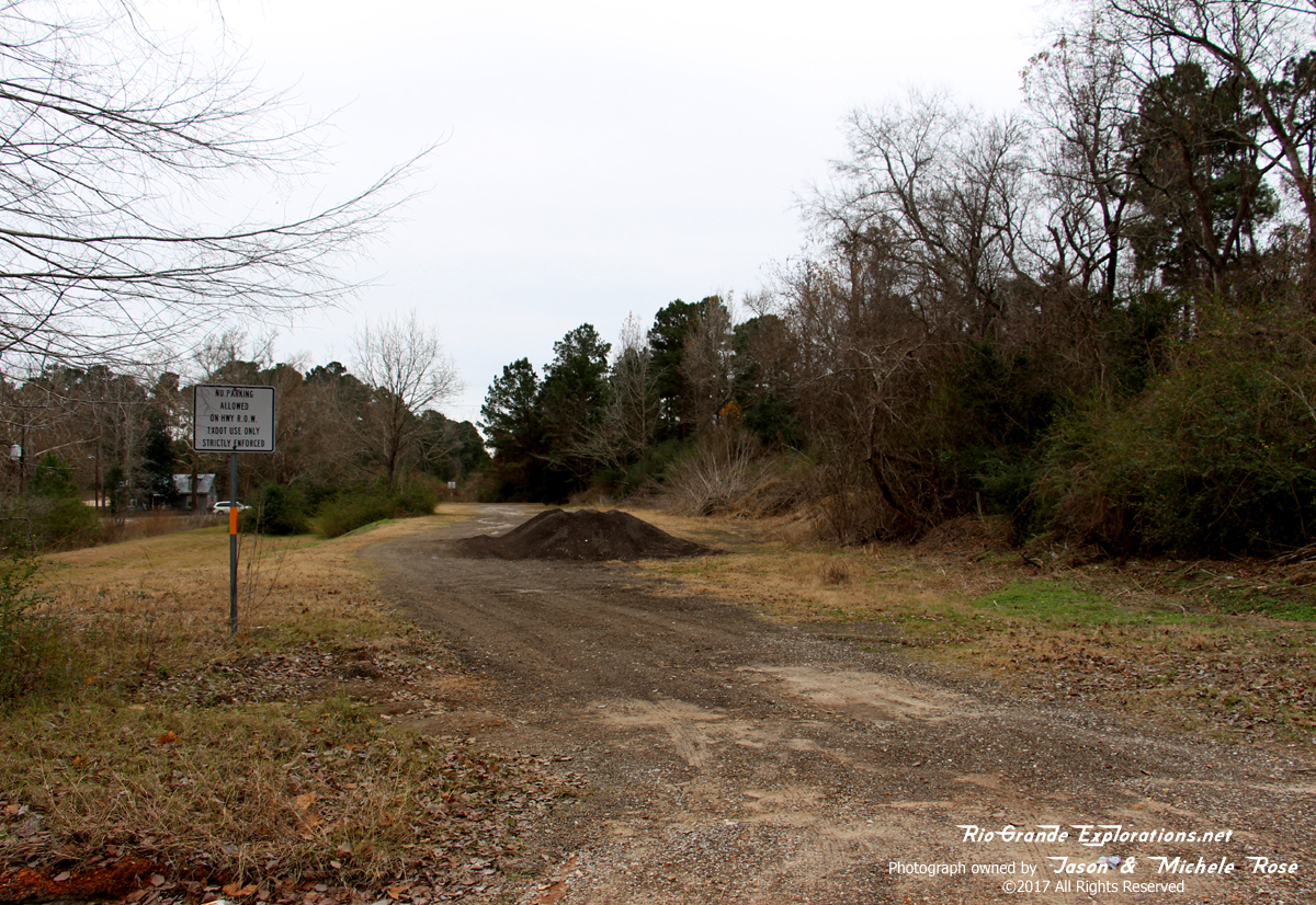
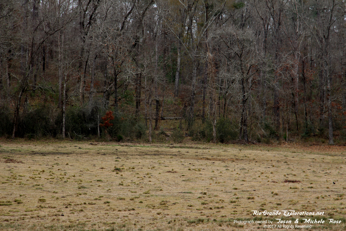
Wider angled shot of the grade
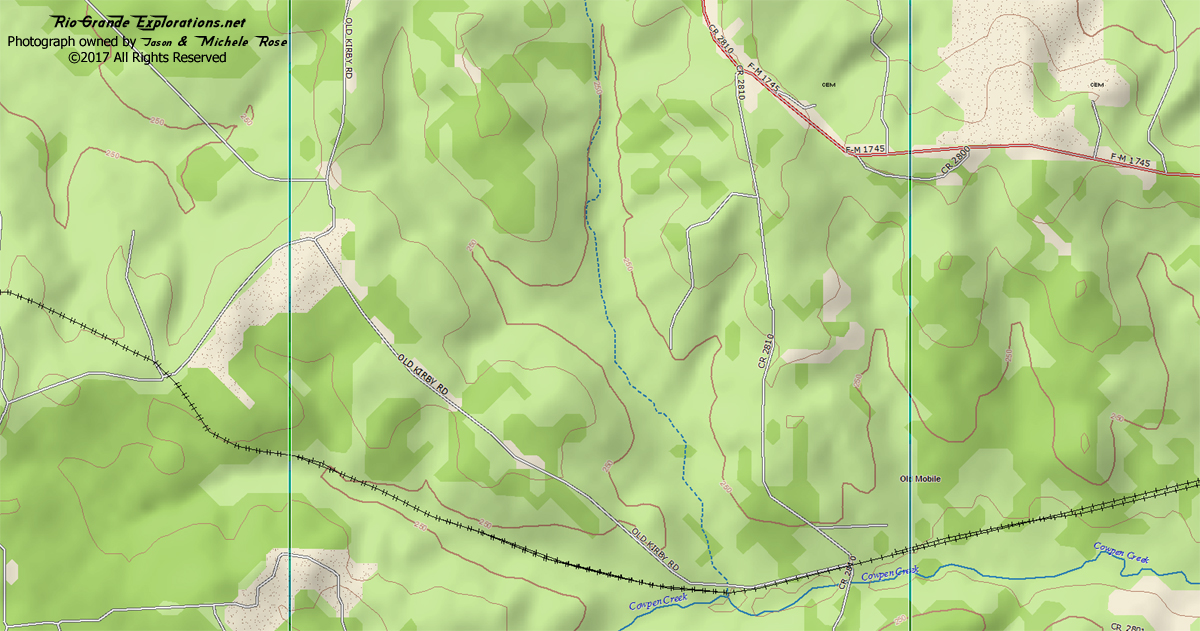
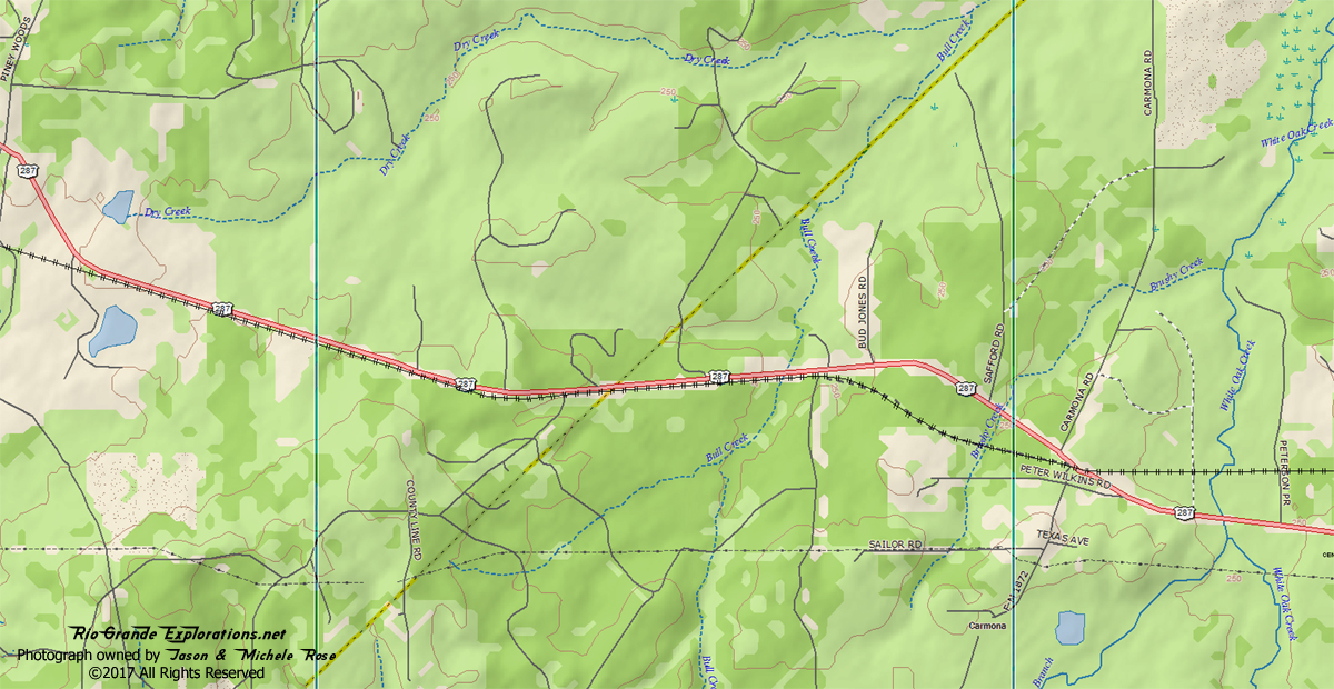
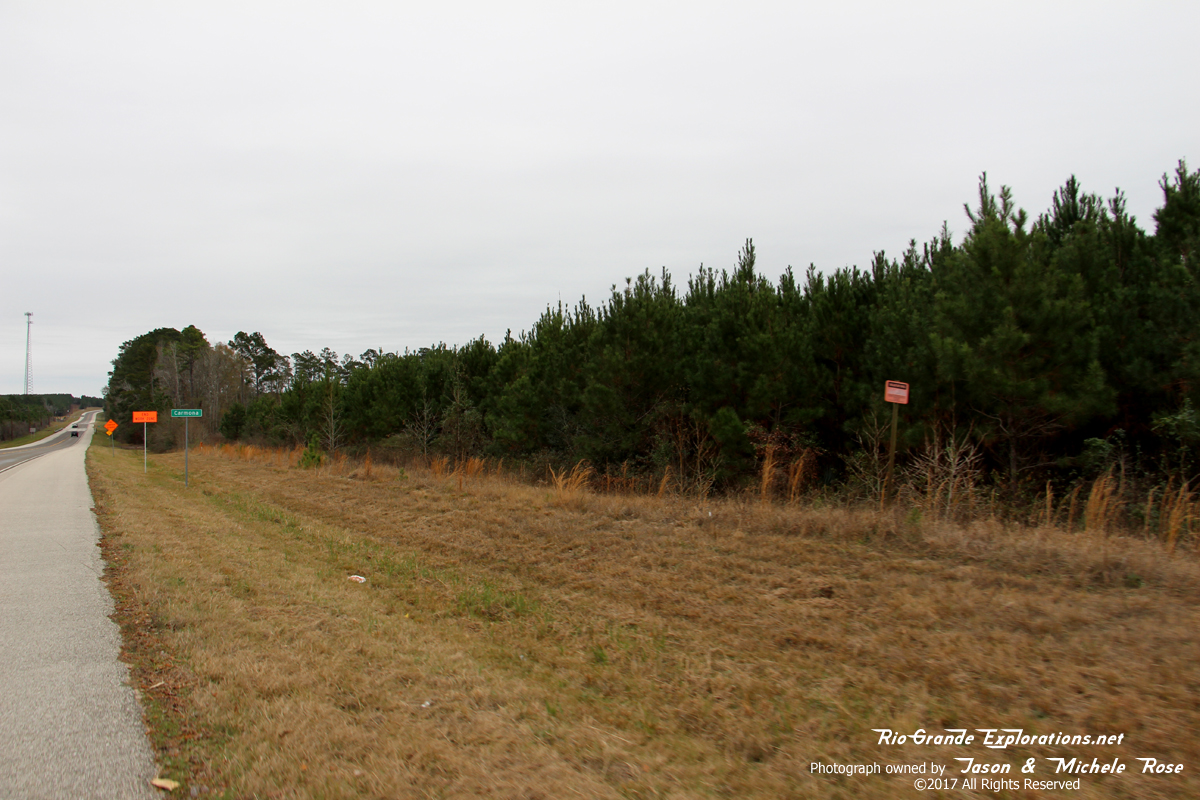
County Road 2810 - Old Mobile MP ~61 |
|
|
|
|
|
|
|
|
|
|
|
Here is the WBTS grade, looking east towards Colmesneil from a place the topo maps call "Old Mobile."
|
|
|
|
|
|
"Old Mobile" is nothing more than a bend in a dirt road known as CR 2810 today.
|
|
|
|
|
|
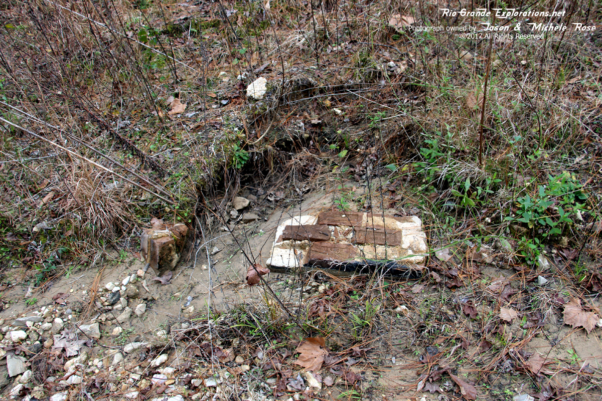
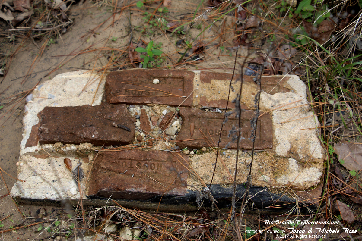
Not sure what this was. It's located in the corner of CR 2810 and the ROW.
|
|
|
|
|
|
|
|
|
|
|
|
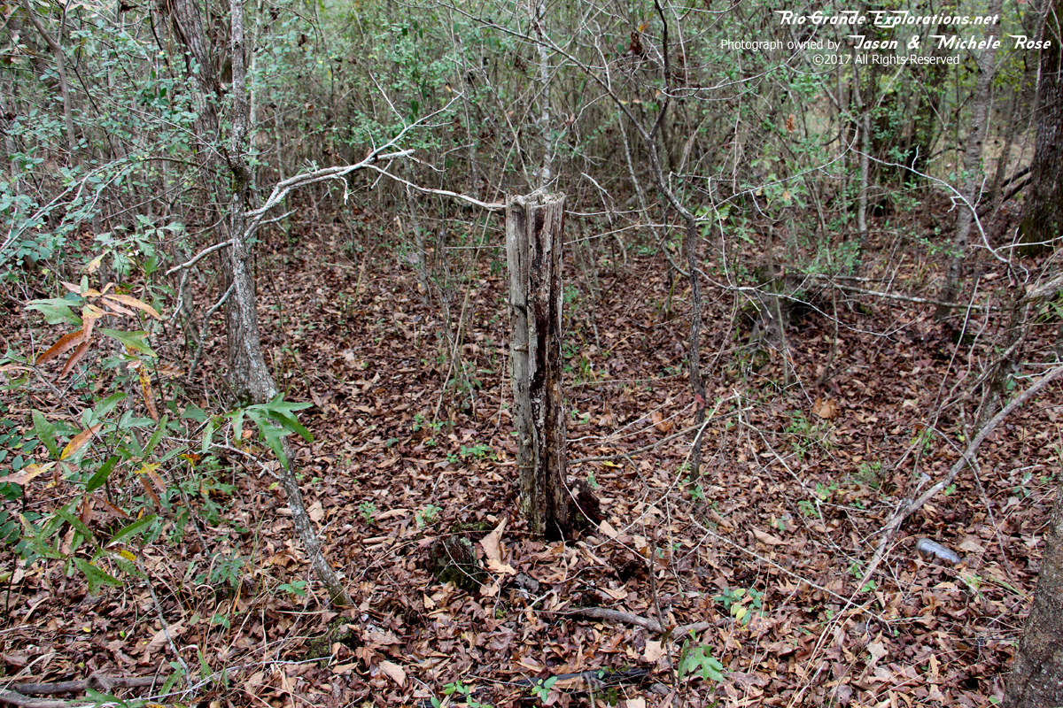
Remnant of a telegraph pole. This is the only one I've ever found on the Wobbly.
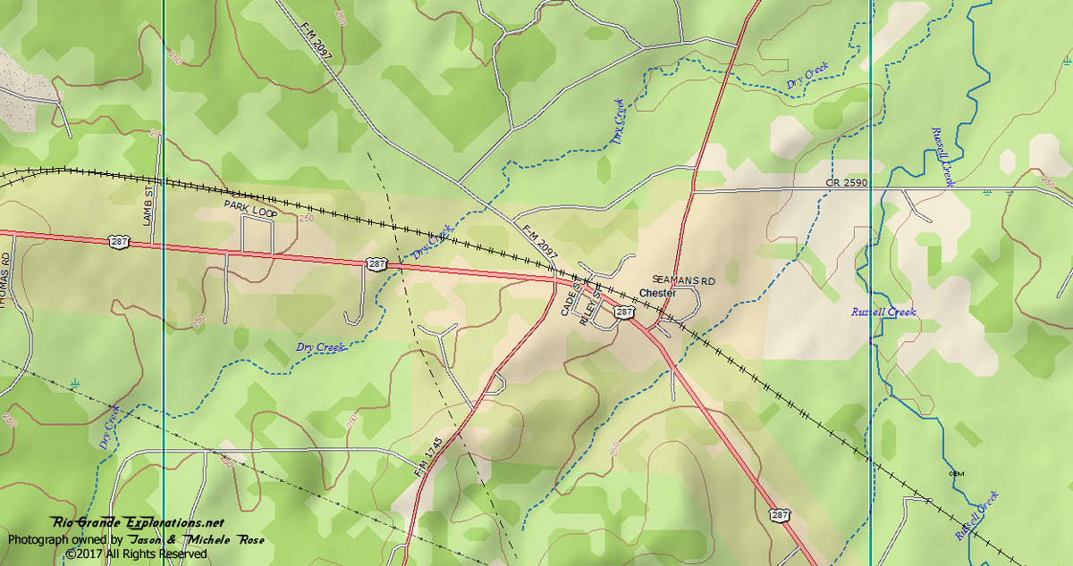
Chester MP ~54 |
|
|
|
|
|
|
|
|
|
|
|
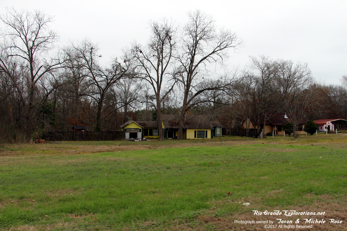
This may be a Section House, located on the grade in Chester. No way to know for sure until we locate old photos.
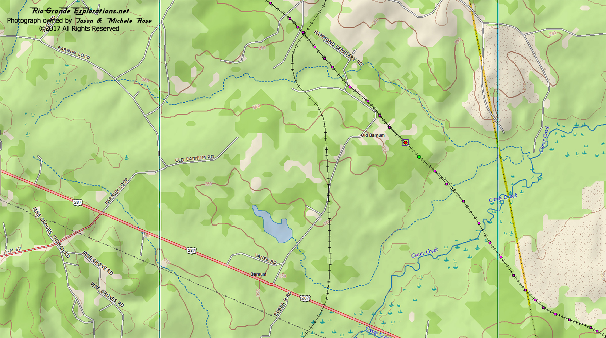
Barnum |
|
|
|
|
|
From the Texas State Historic Association
|
|
|
|
|
|
Looking north on Barnum Blvd (right) and the WT Carter Railroad grade (left) about .5 miles north of Highway 287
|
|
|
|
|
|
Looking south from the same spot.
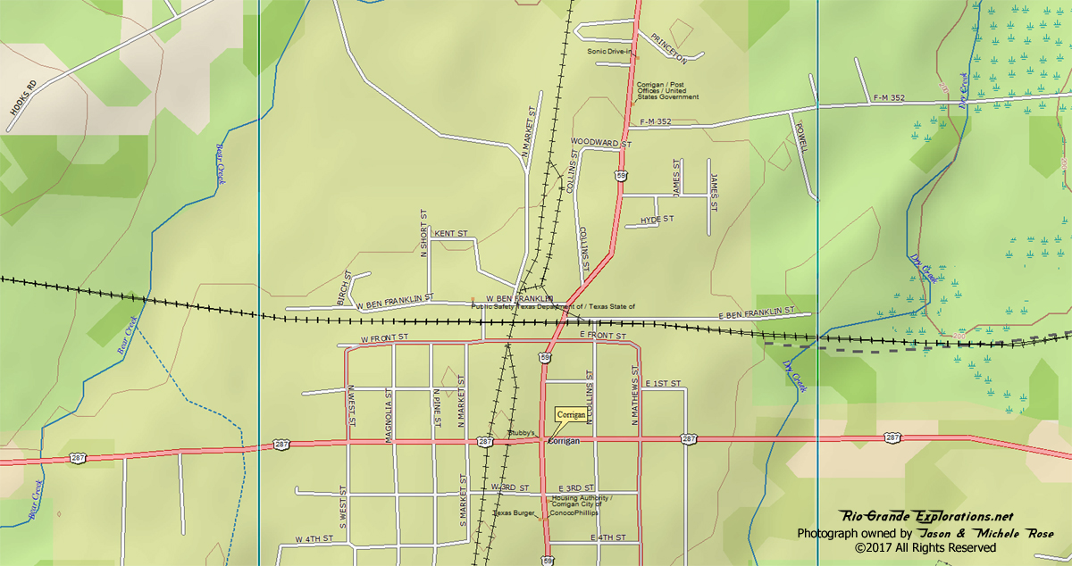
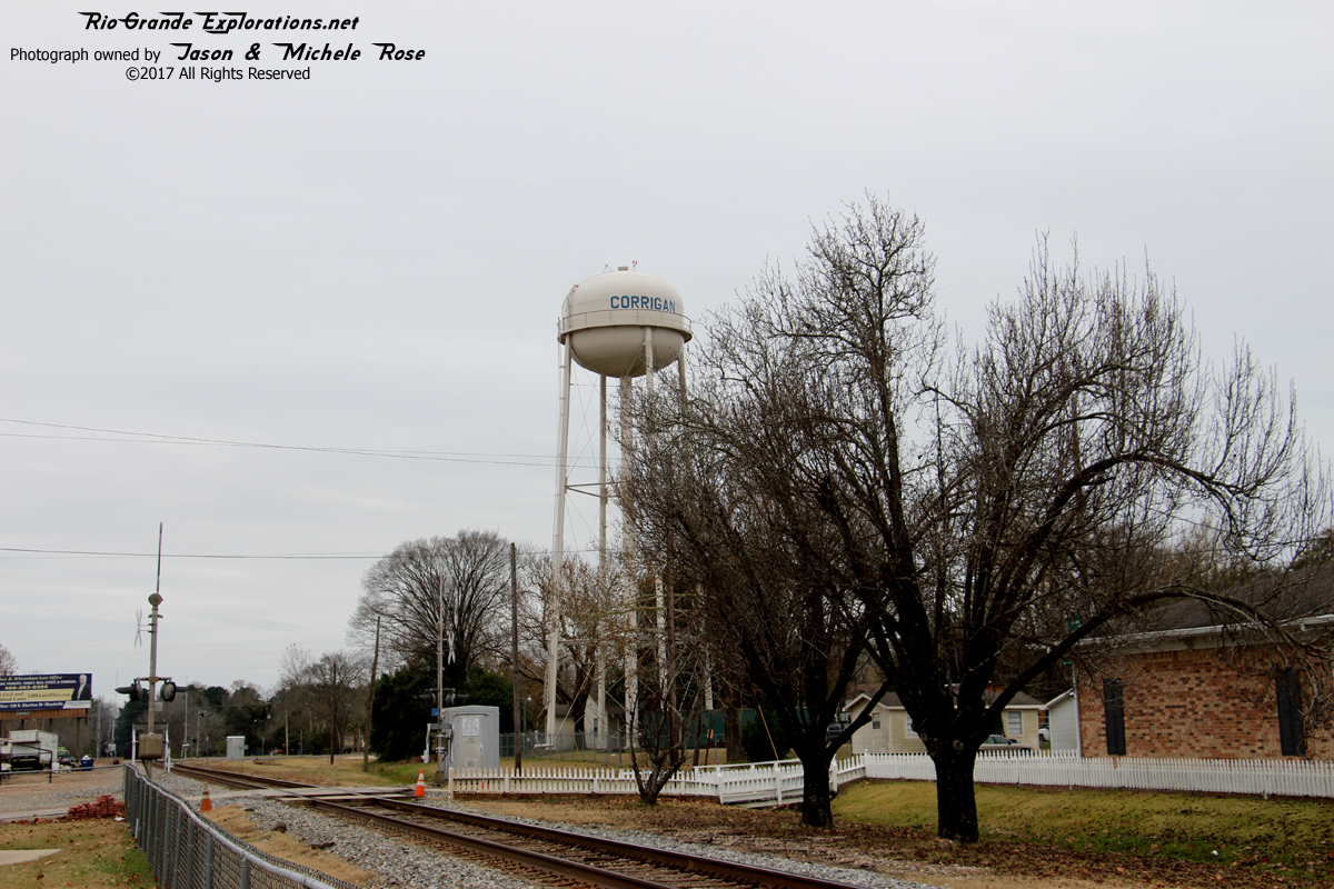
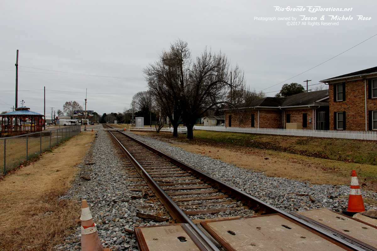
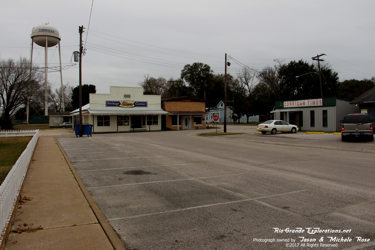
Corrigan MP ~38 |
|
|
|
|
|
|
|
|
|
|
|
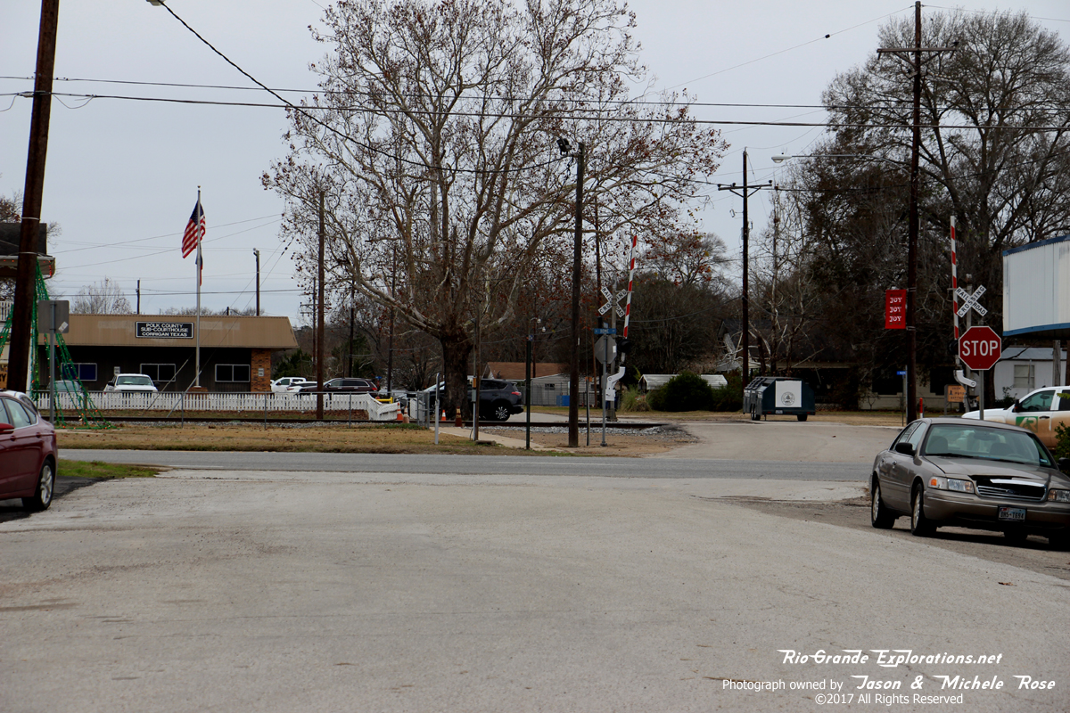
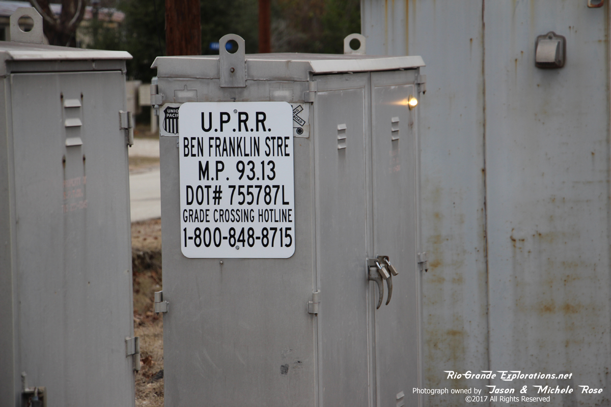
This is the approximate location of the WBTS / TNO grade crossing. Looking west on Ben Franklin Ave
|
|
|
|
|
|
Same spot, other direction: looking east on Ben Franklin Ave
|
|
|
|
|
|
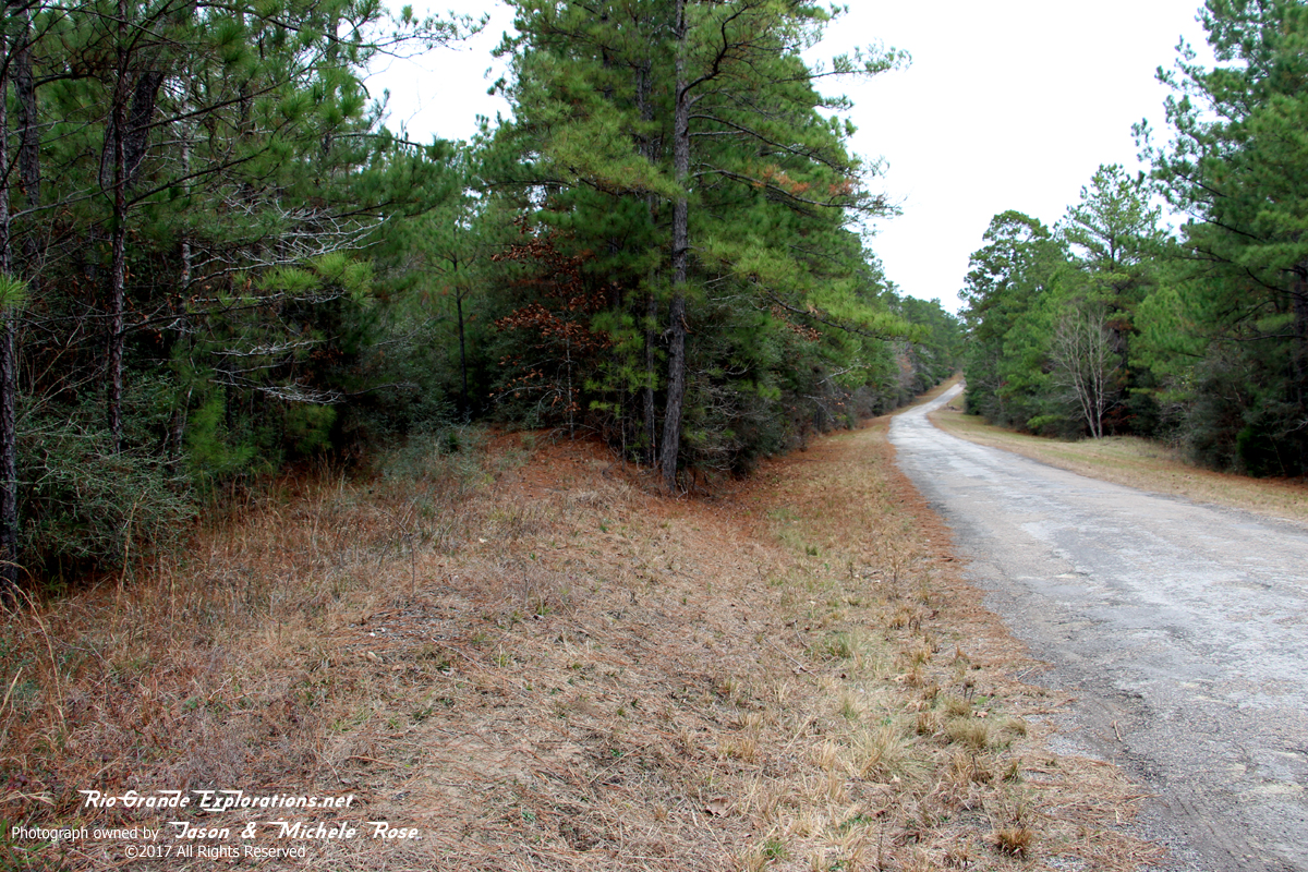
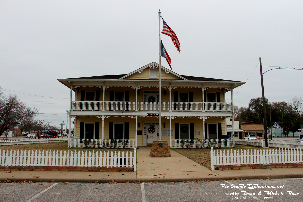
Corrigan City Hall The ROW is just behind this structure
|
|
|
|
|
|
|
|
|
|
|
|
|
|
|
|
|
|
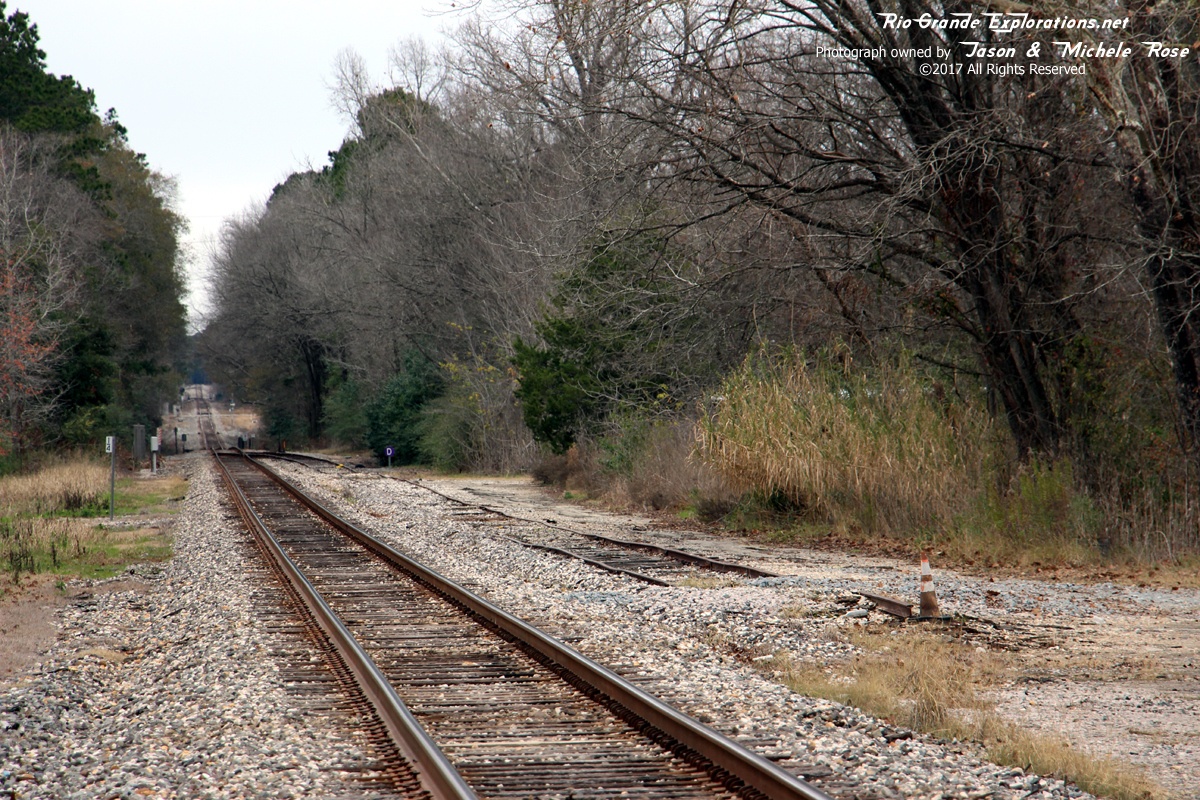
The spur on the right was likely once part of the Wobbly interchange.
|
|
|
|
|
|
|
|
|
|
|
|
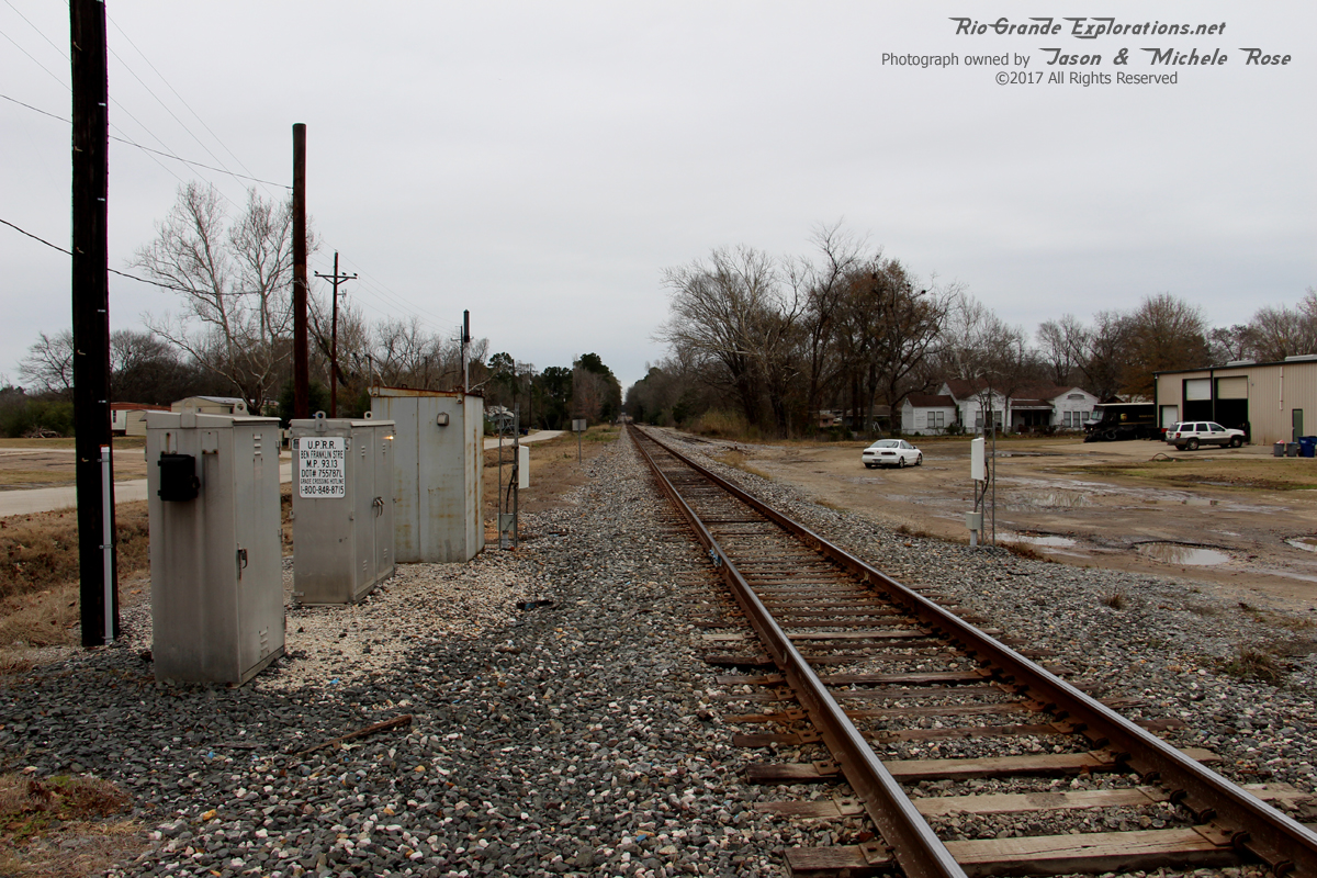
Looking south on the TNO/SP/UP The WBTS/TNO diamond would have been between where I'm standing and the next grade crossing.
|
|
|
|
|
|
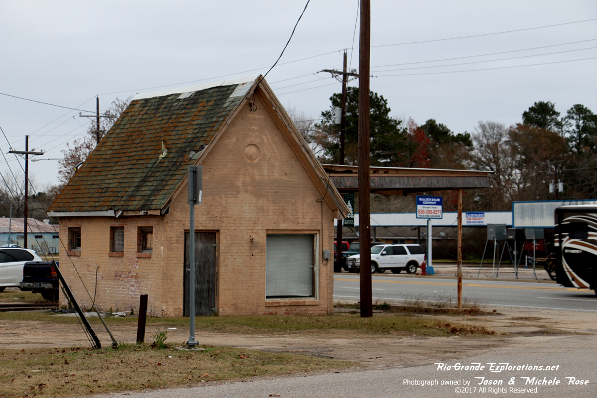
Old gas station
|
|
|
|
|
|
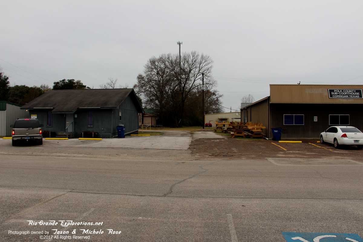
Local museum. Unfortunately it was closed.
|
|
|
|
|
|
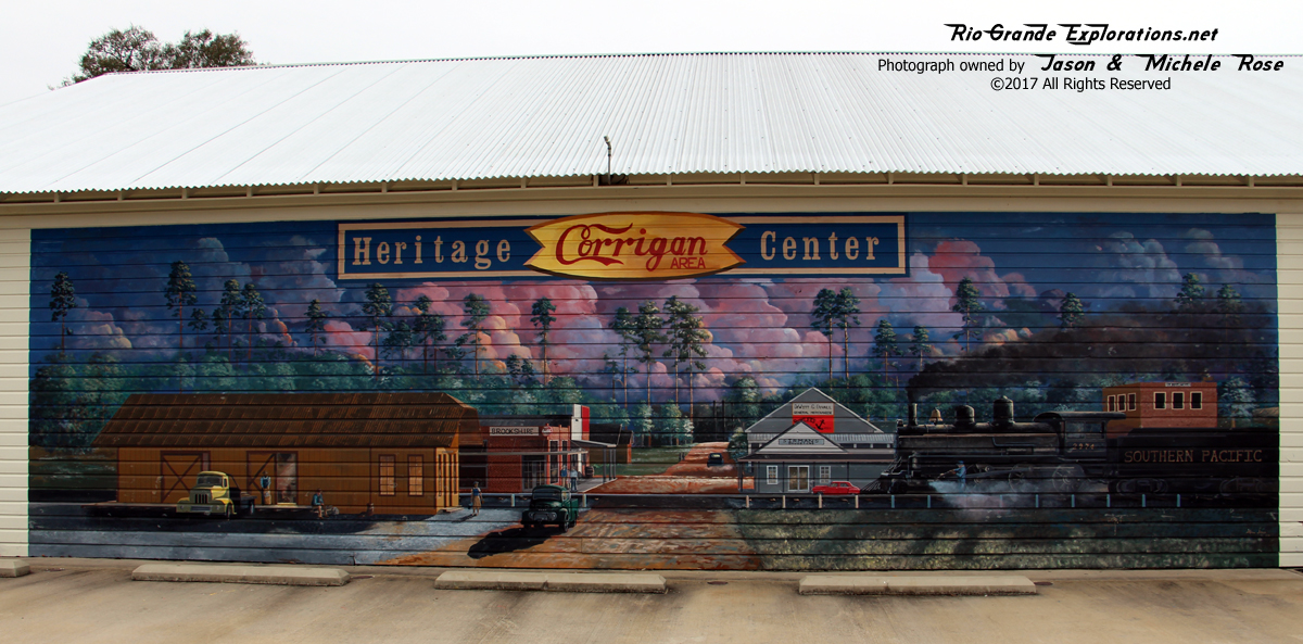
Mural on the museum
|
|
|
|
|
|
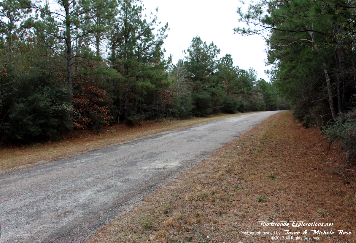
Standing on the grade just west of City Hall, looking west towards Groveton.
|
|
|
|
|
|
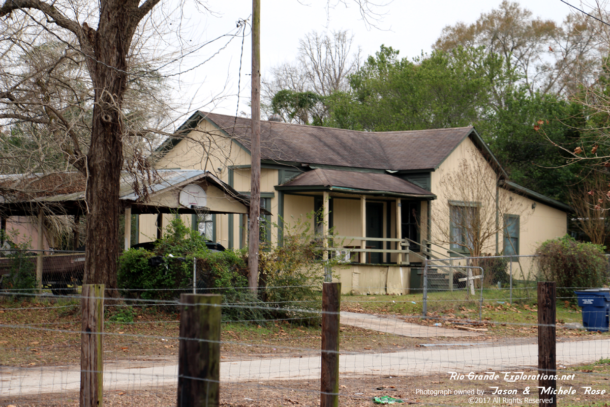
Possible Section House This is nearly identical to a house in Groveton that is also along the Right-of-Way. Everett and I are of the opinion that this isn't a coincidence.
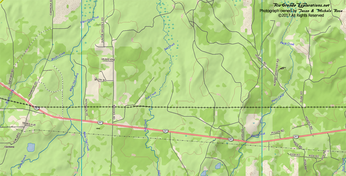
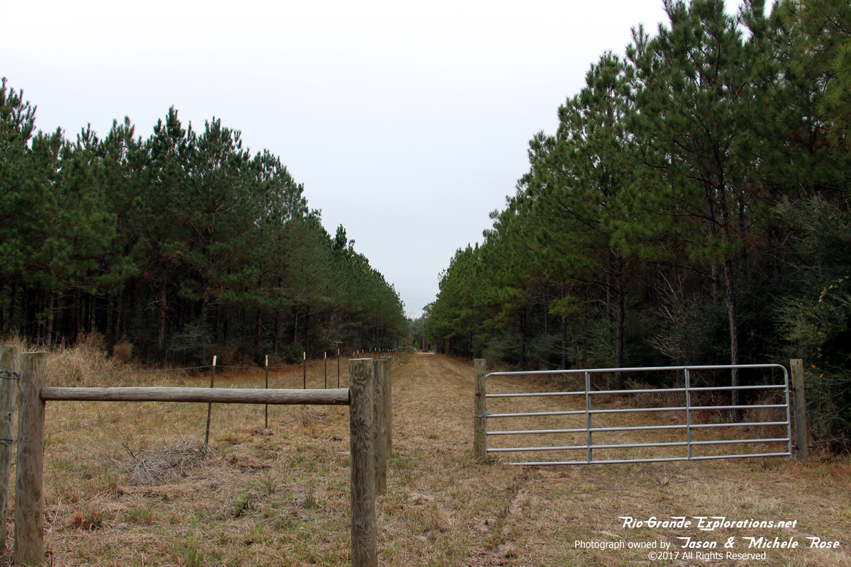
Brooks Road |
|
|
|
|
|
|
|
|
|
|
|
Wobbly ROW, looking west from Brooks Road
ROW Along Highway 287 |
|
|
|
|
|
|
|
|
|
|
|
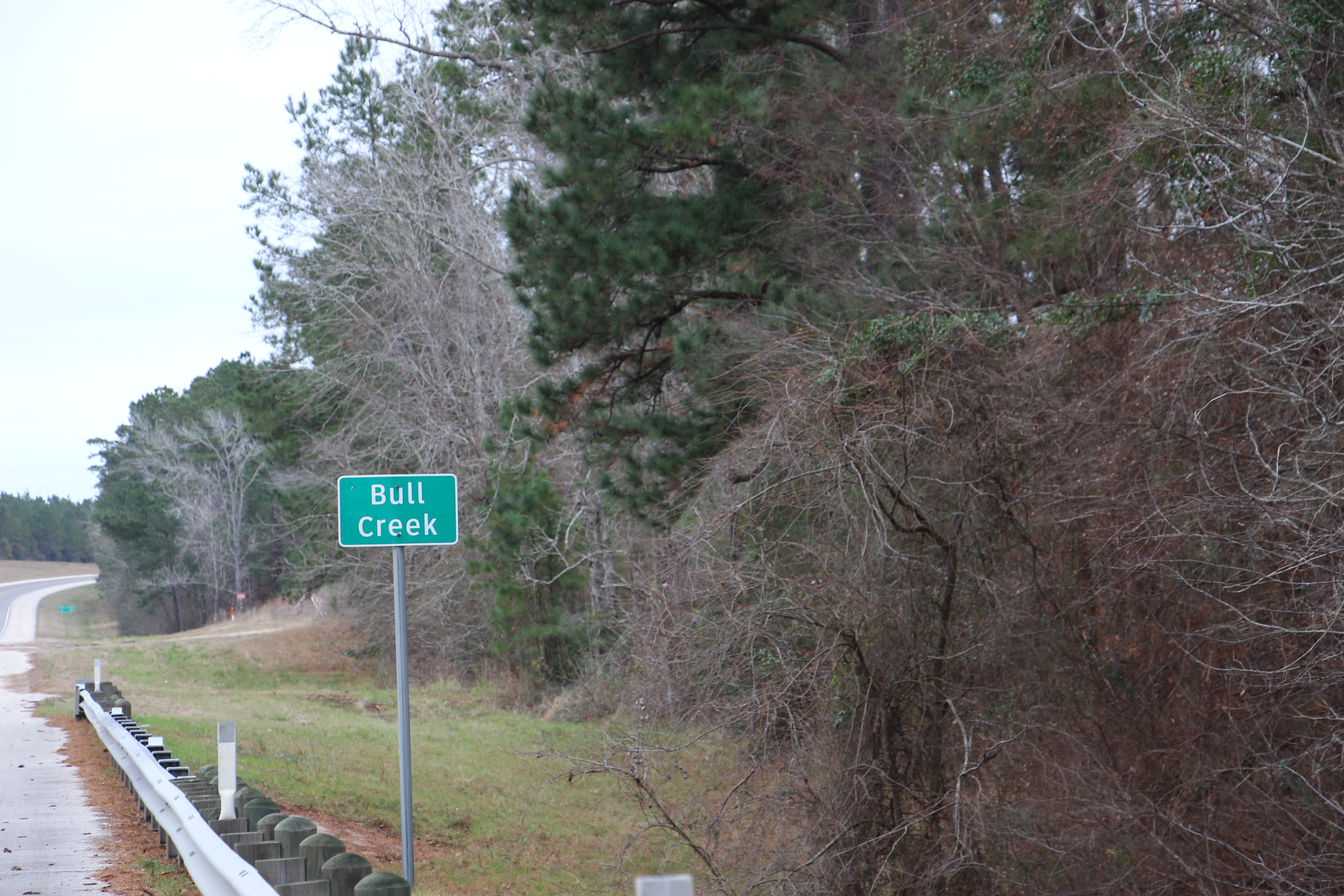
We made a u-turn just west of Bull Creek to get the following shots. The grade is on the right, just off the highway.
|
|
|
|
|
|
The elevated grade is just inside the treeline.
|
|
|
|
|
|
|
|
|
|
|
|
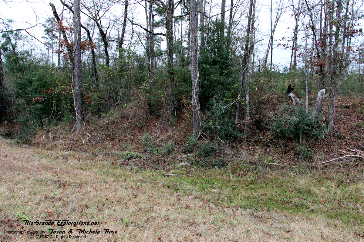
More grade. No ties were evident, which isn't surprising after 81 years.
|
|
|
|
|
|
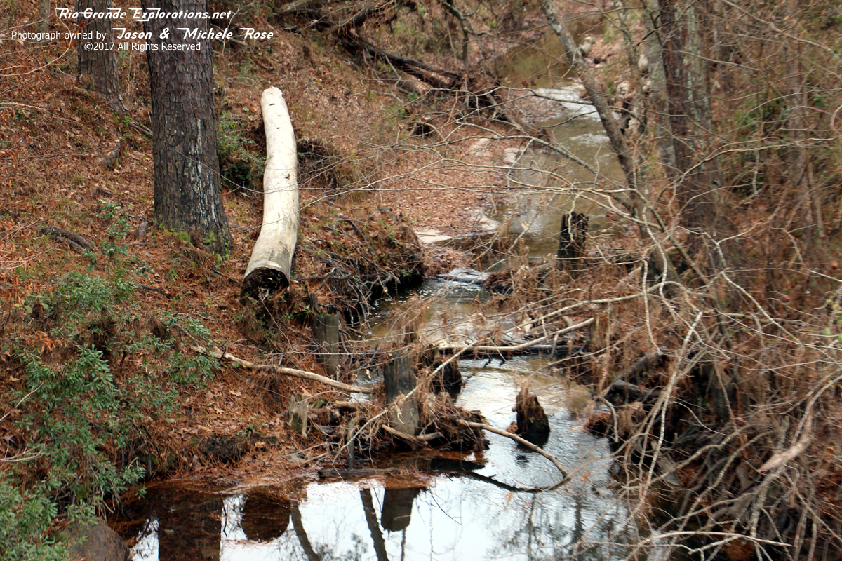
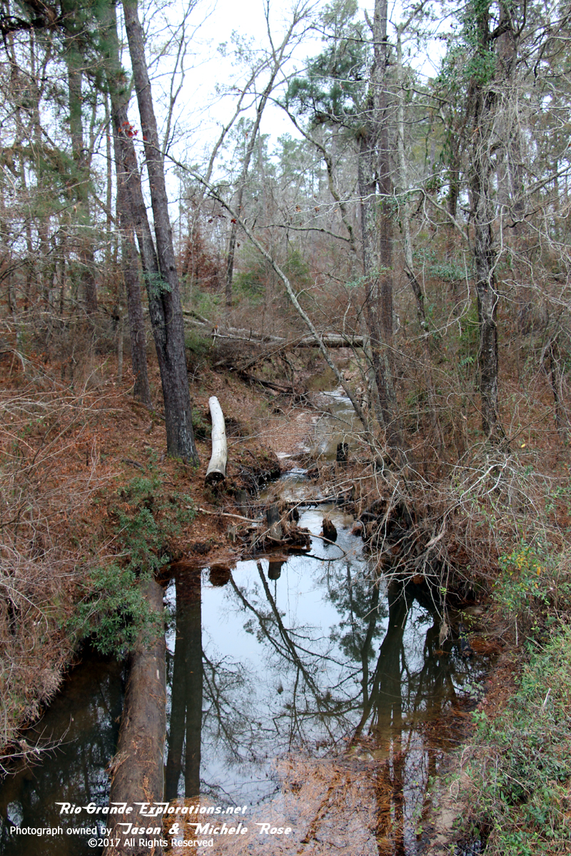
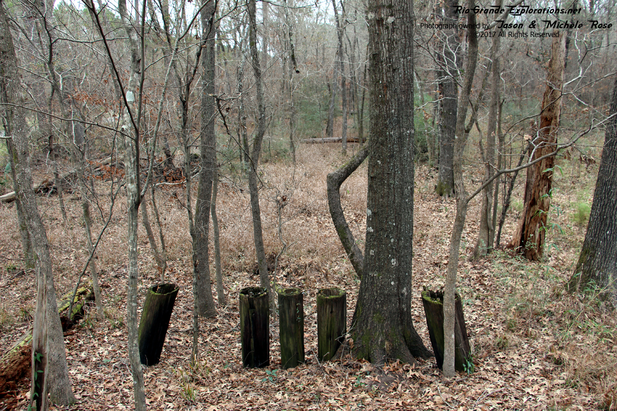
Looking east over Bull Creek. We were pleasantly surprised to find a few pairs of bridge pilings.
|
|
|
|
|
|
|
|
|
|
|
|
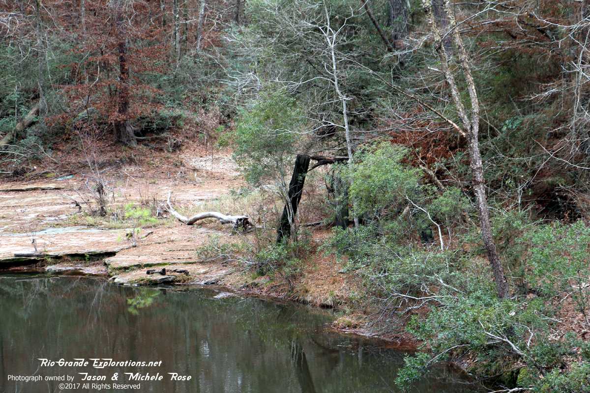
More piles in the creek.
|
|
|
|
|
|
|
|
|
|
|
|
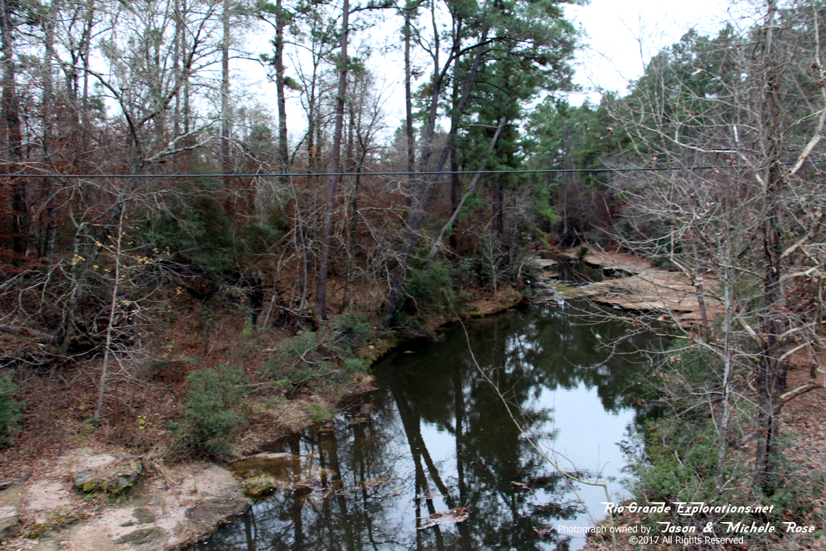
Last bit of grade on the east side of the creek.
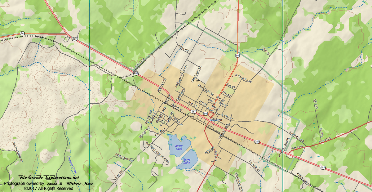
Groveton MP ~19 |
|
|
|
|
|
|
|
|
|
|
|
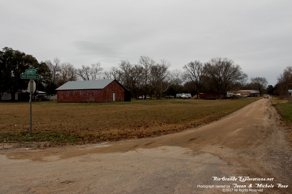
Looking east on Old Railroad Street.
|
|
|
|
|
|
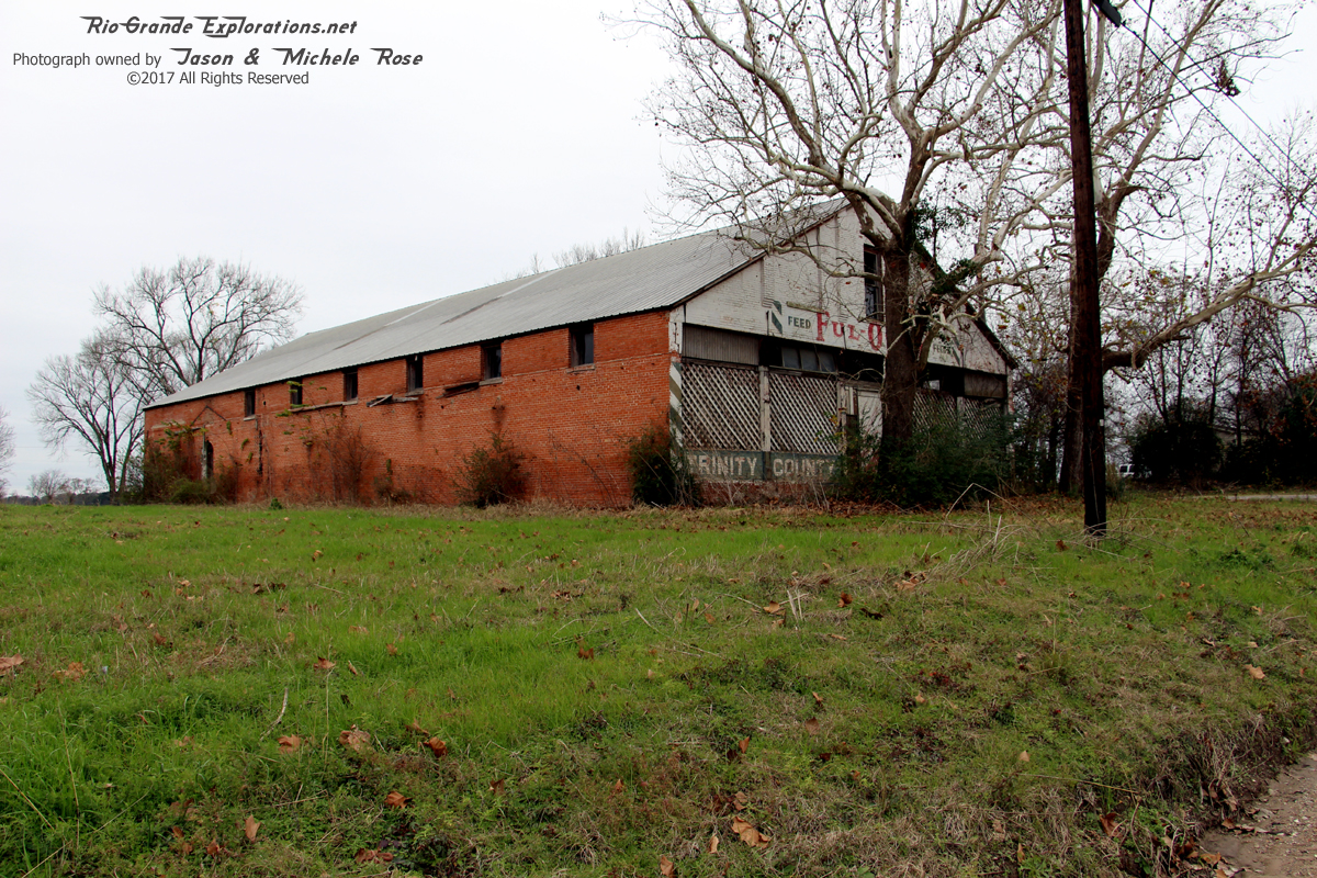
Unfortunately there was no trace of the Wobbly Depot, but there were several structures that certainly dated from the era where two railroads met in Groveton. I doubt there are any residents remaining that remember that time.
|
|
|
|
|
|
|
|
|
|
|
|
|
|
|
|
|
|
|
|
|
|
|
|
The final train left town 81 years ago and it was powered by steam.
|
|
|
|
|
|
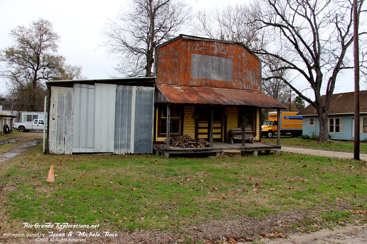
This may well be a Section House or, perhaps even the Depot. Until we can locate photographic evidence, we won't know for sure. There is a nearly identical house in Corrigan right along the grade. No way that's a coincidence.
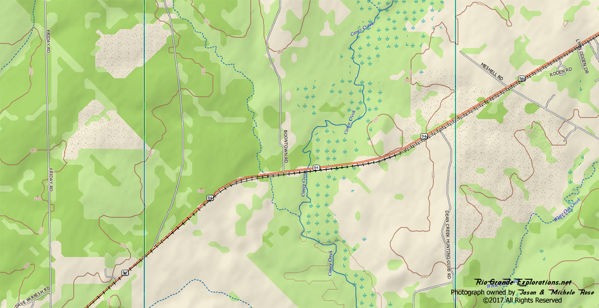
Caney Creek |
|
|
|
|
|
Caney Creek is just west of Groveton on Hwy 94.
|
|
|
|
|
|
Everett got these shots of the approach to the Creek
|
|
|
|
|
|
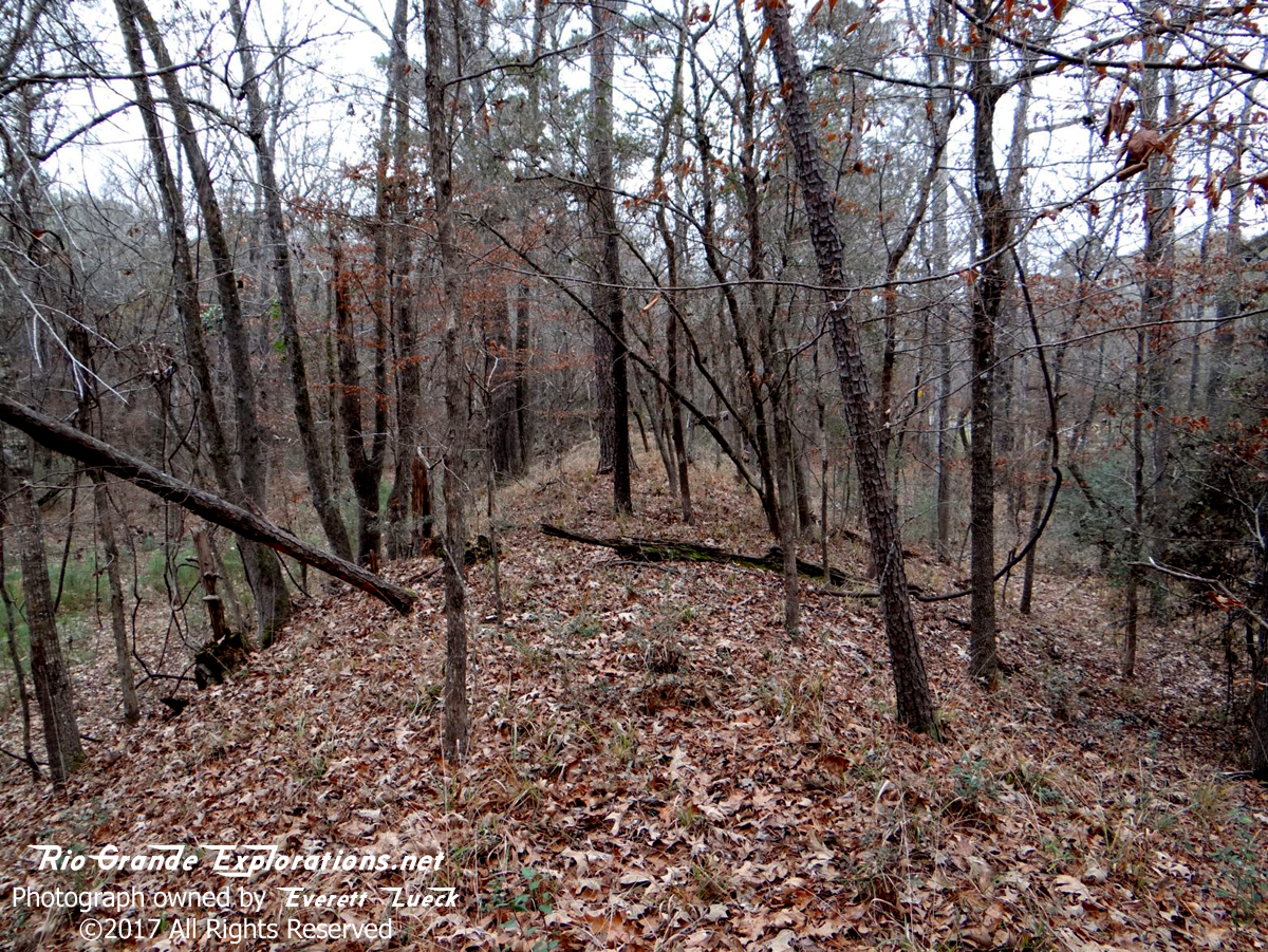
Standing on the grade facing east.
|
|
|
|
|
|
Standing on the grade facing west.
|
|
|
|
|
|
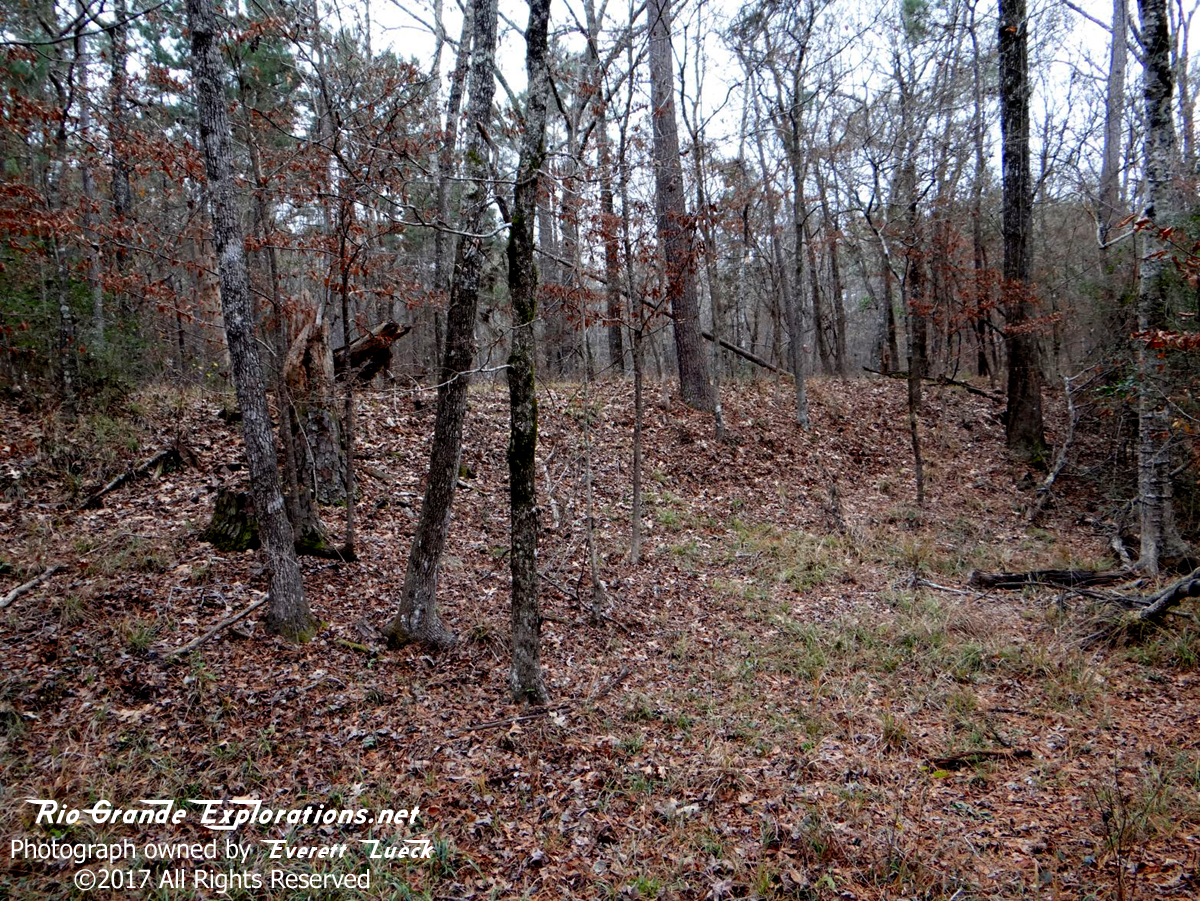
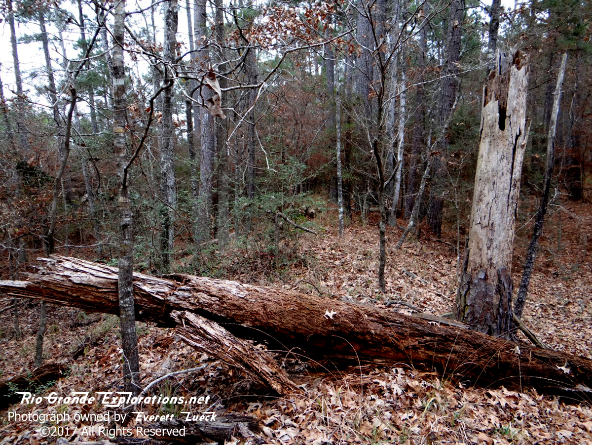
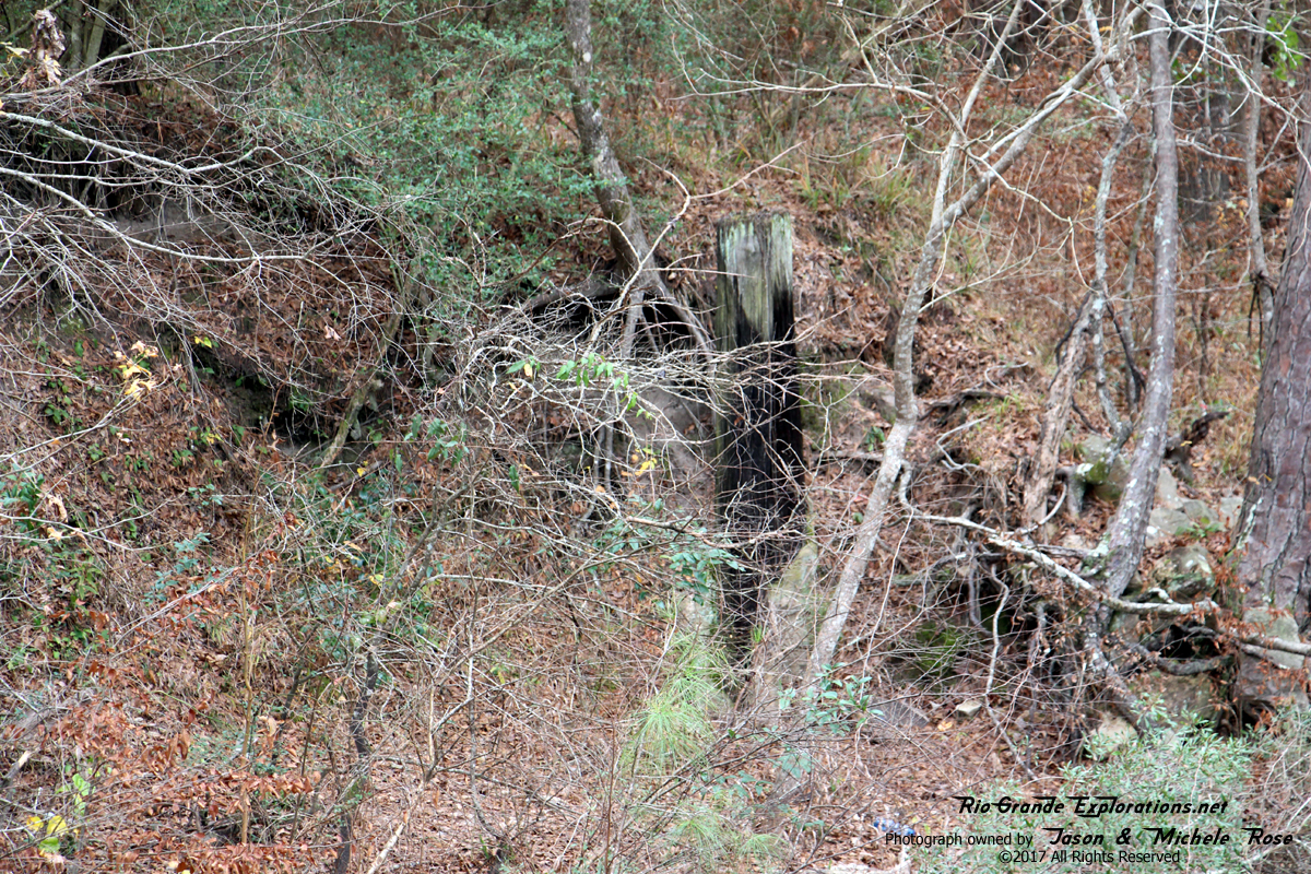
About a 1000' east of the creek there is a low spot where I spotted some very well-preserved bridge pilings.
|
|
|
|
|
|
Looking east over the pilings from the grade.
|
|
|
|
|
|
Piling at Caney Creek.
|
|
|
|
|
|
Caney Creek.
|
|
|
|
|
|
Another piling at Caney Creek.
|
|
|
|
|
|
|
|
|
|
|
|
Another piling at Caney Creek. The last train passed through here 81 years ago. It's amazing that it still survives.
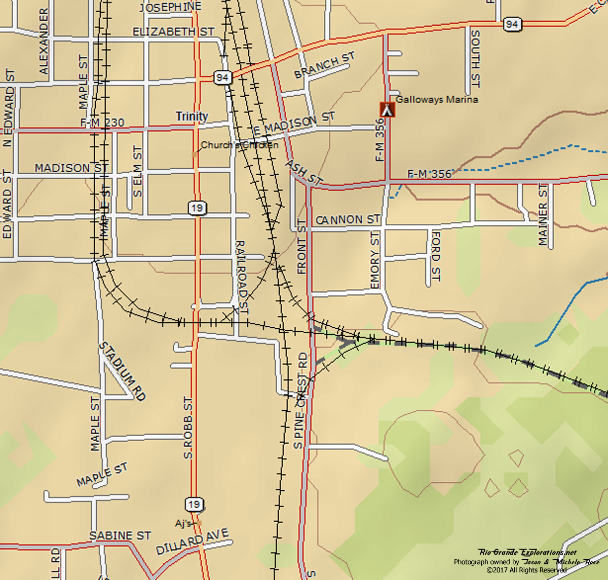
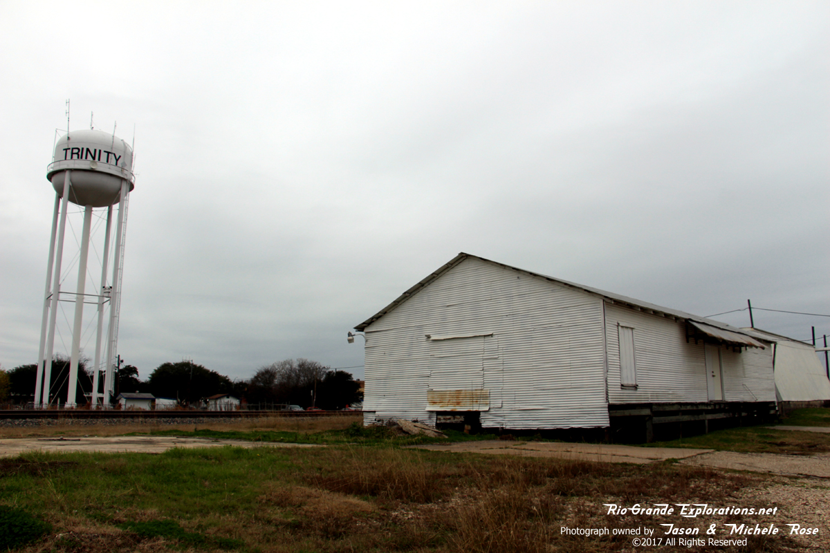
Trinity MP 0 |
|
|
|
|
|
|
|
|
|
|
|
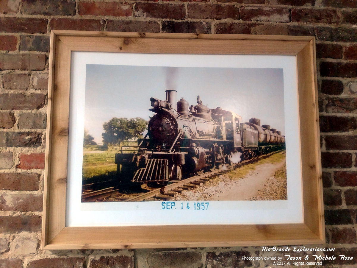
We stopped at the Trinity Cafe for some chow after arriving in town. The chow is good and the wait staff is great. But, the decor is spectacular... photos of the Wobbly decorate the place!
|
|
|
|
|
|
A rare color photo on the wall at the Trinity Cafe.
|
|
|
|
|
|
Former Missouri Pacific (IGN) Freight Depot in Trinity. UP Palestine Sub in the background.
|
|
|
|
|
|
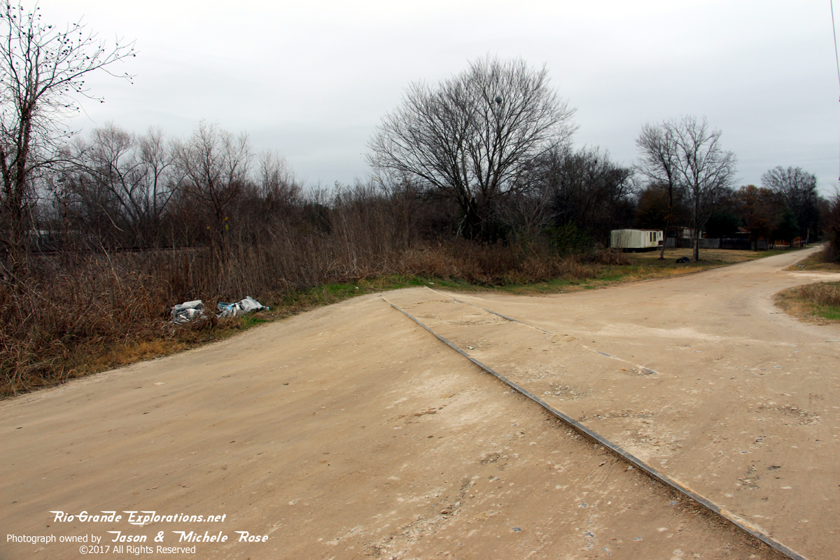
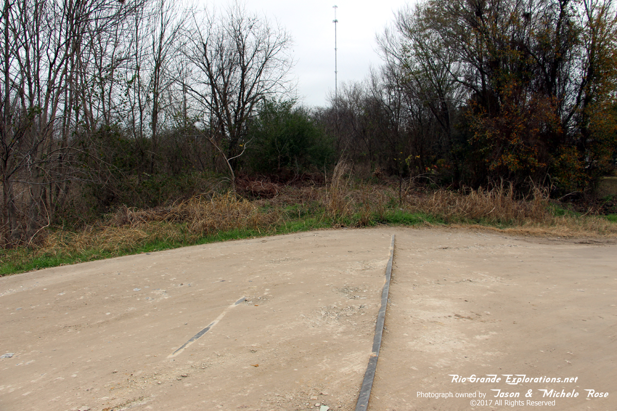
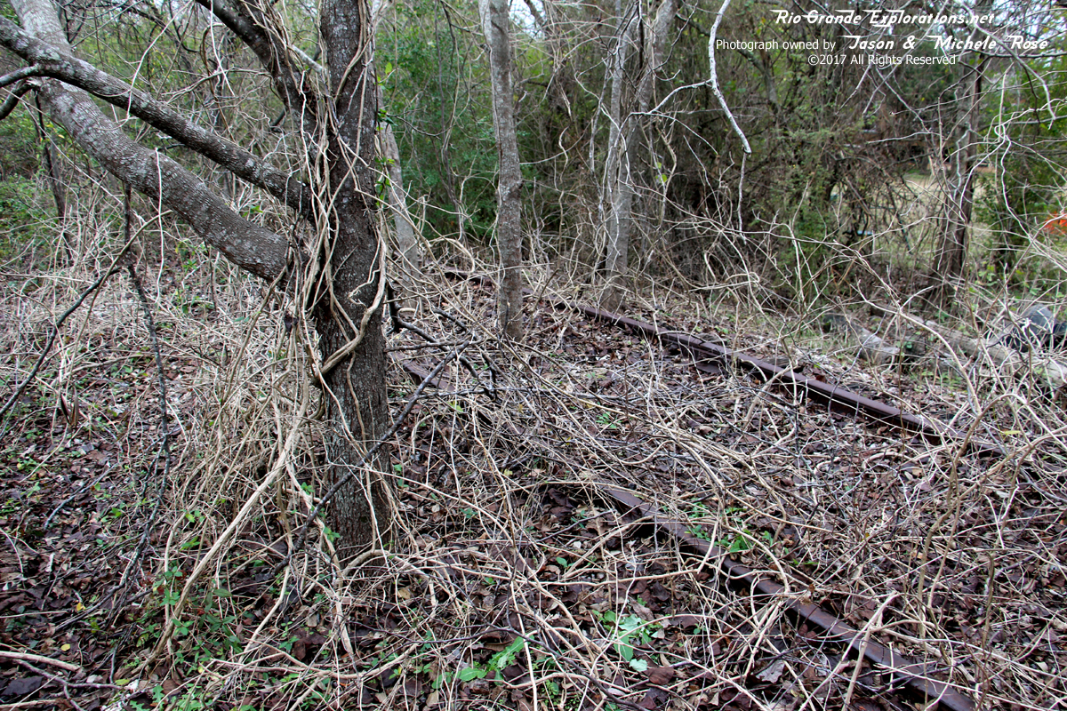
The last Wobbly rails to remain.
|
|
|
|
|
|
|
|
|
|
|
|
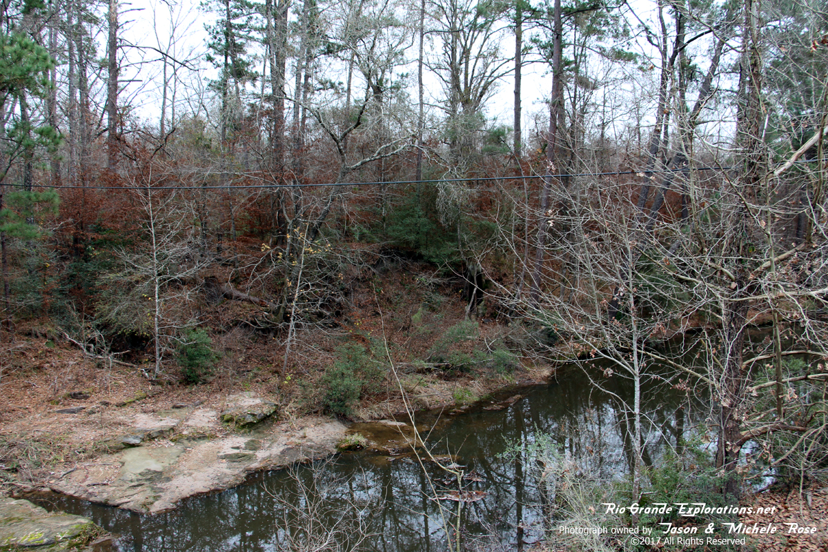
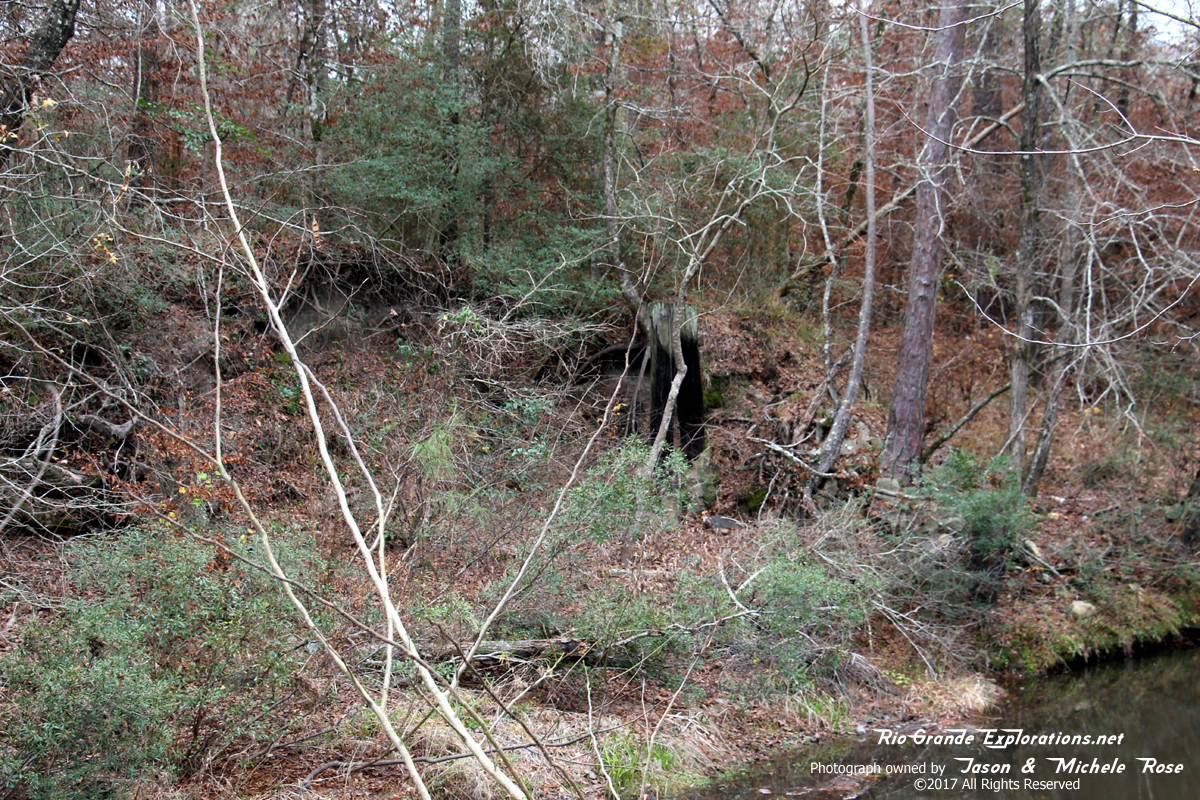
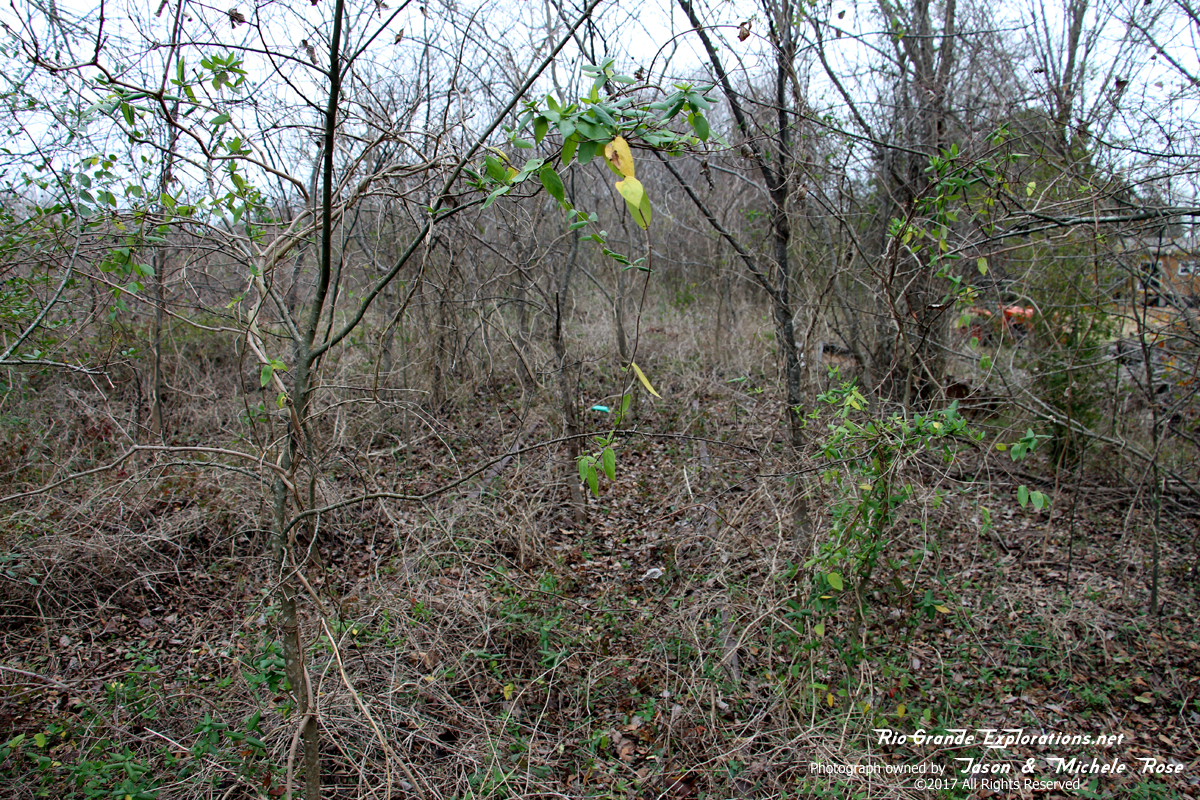
For years I've wanted to get up to Trinity in the winter to see how far the rails go in the light winter foliage. Unfortunately, I wasn't able to get more than about 50 years before it got too thick.
|
|
|
|
|
|
I saw some UP MOW equipment stored here in ~2003. It likely hasn't been used since that time.
|
|
|
|
|
|
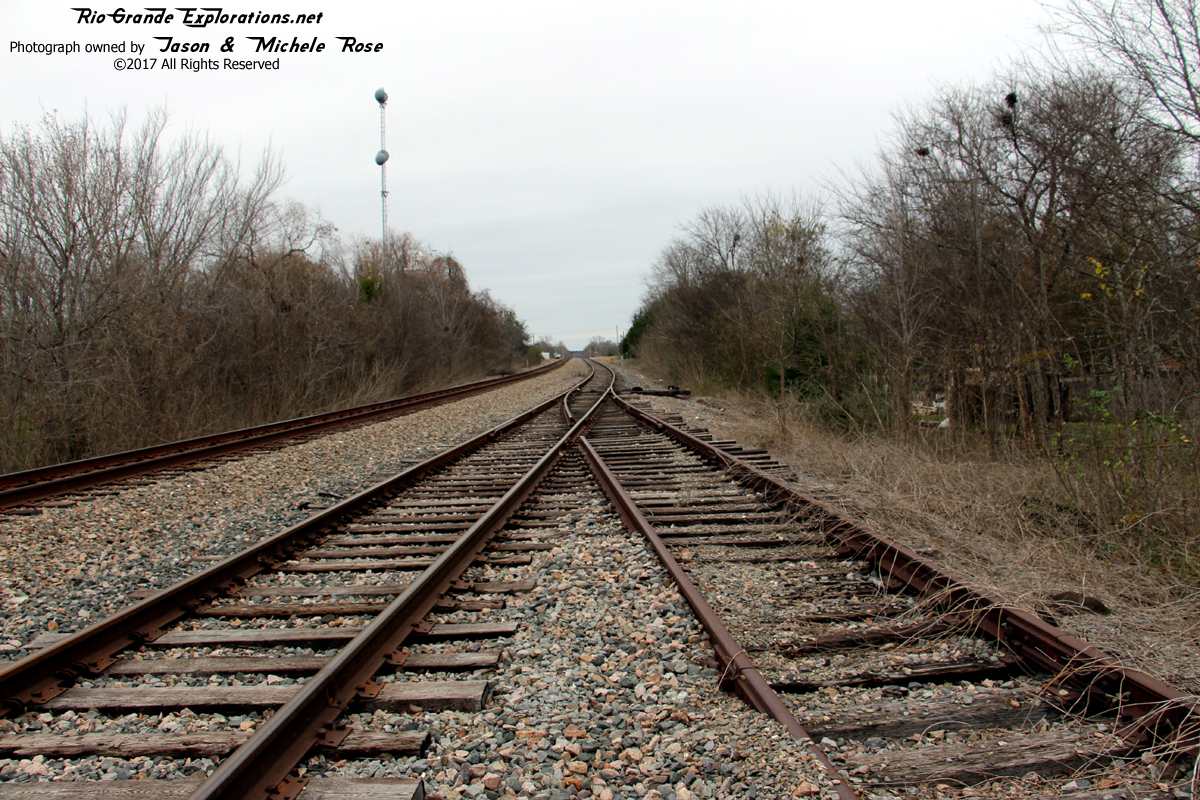
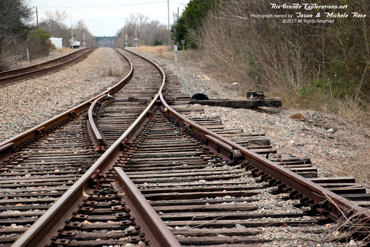
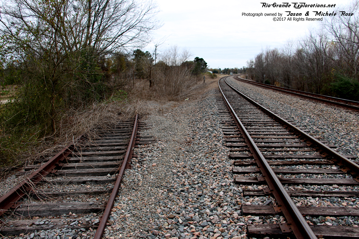
The Wobbly is now disconnected from the UP.
|
|
|
|
|
|
Wouldn't take much to reconnect it, though.
|
|
|
|
|
|
|
|
|
|
|
|
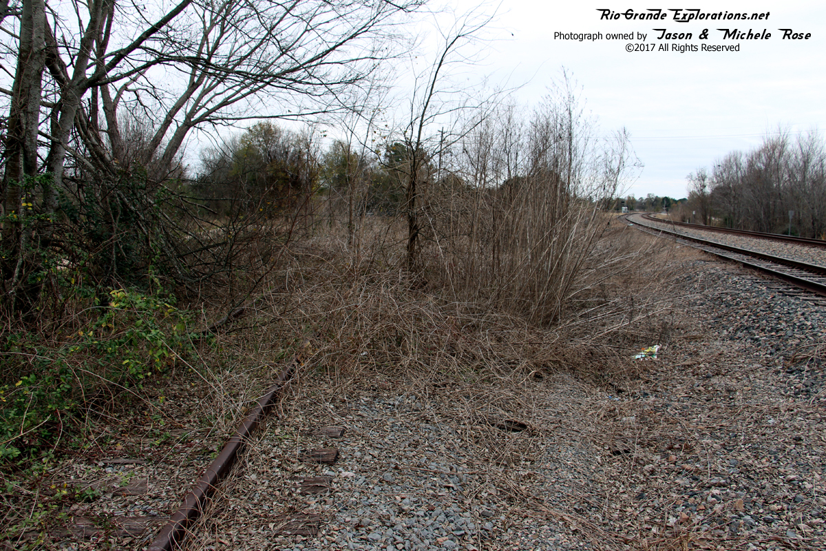
Wobbly on the left, UP Palestine Sub on the left. My house in Spring is about 62 miles south.
My thanks to Everett for putting this trip together. It was a GREAT day!
|
|
|
|


ve