Durango, Farmington & Chama
November 8-13, 2014
Sunday, November 9
RGS Calumet Branch - Durango, Colorado
|
Originally I had tentative plans to do some detailed Ferroequinearcheology around Durango and near Carbon Junction. Probably would've gone up to Silverton as well to see the progress on the reconstruction of the Silverton Northern. However, my buddy Jon invited me to hike the grade of the Boston Coal & Fuel Company Railroad. This 5 mile branch started at Franklin Junction on the Rio Grande Southern Railroad about 3 miles west of Durango. Constructed in 1901, the branch started off at about 6700' and topped out at 7720' with grades of 4.5%. In later years, the RGS operated the line as its Calumet Branch until it was abandoned about 1926 (rails removed about 1929). Thanks to RGSRR.Home.ComCast.net for this information.
Frankly, I don't know much about this branch so my report here may be inaccurate and will likely be lacking in detail. As time permits, I'll do more research and include pertinent information.
About 0900, I met Jon at the Durango Diner, a regular haunt for D&S Railroaders. The food was fantastic and I'll definitely take Michele the next time we're in town. After chow, we met Joe (another D&S Engineer) at the D&S parking lot and made our way towards our starting point for the hike.
As I noted in the report of the previous day, Michele and I get little sleep/rest these days. Noah is about 7 months old and still needs to be fed every 2-3 hours. So, what sleep we do get is interrupted. Not that we mind, of course. The little dude is absolutely wonderful and I can't imagine life without him. But, the constant fatigue does wear me down. In addition, work has been very busy and I simply don't have time to keep myself in shape like I should. I say all that to say that I was really in no condition to hike 10 miles at 7,000 feet. It's a good thing the Marine Corps taught me how to push past my limits! A lot of these photos are from the rear of the group, because that's where I usually was. |
|
|
|
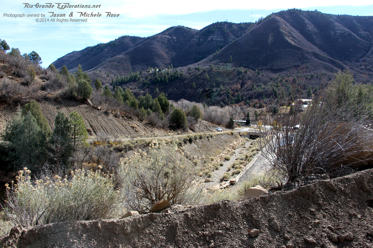
We started here and you can see Jon's truck parked down there at the gate.
|
|
|
|
Joe and Jon Note that Jon is carrying along a volume from "The RGS Story" for reference.
|
|
|
|
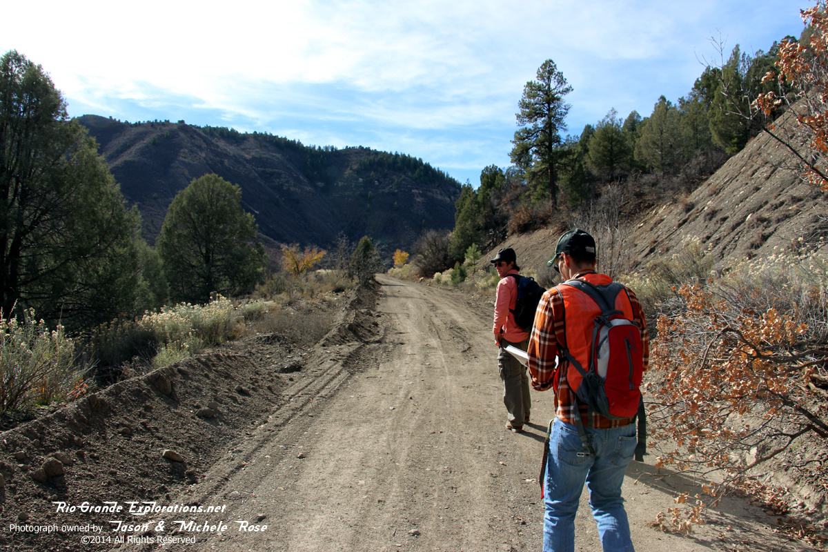
After hiking on a County Road, we joined the grade here.
|
|
|
|
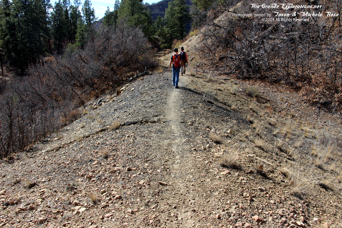
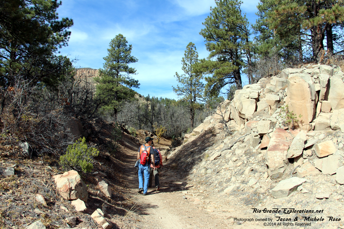
You'll notice that most of these photos are taken from the rear of the group. I lagged behind, but did manage to keep up.
|
|
|
|
Note this fill is still covered with cinders, nearly a century after the last train left.
|
|
|
|
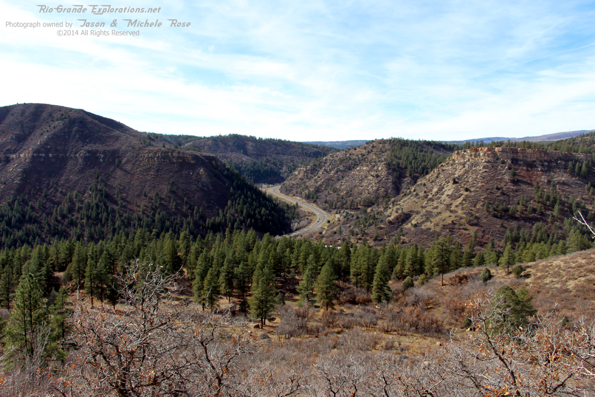
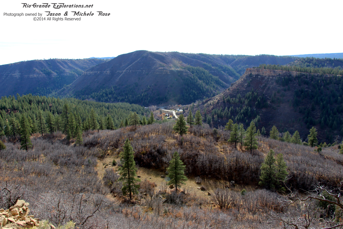
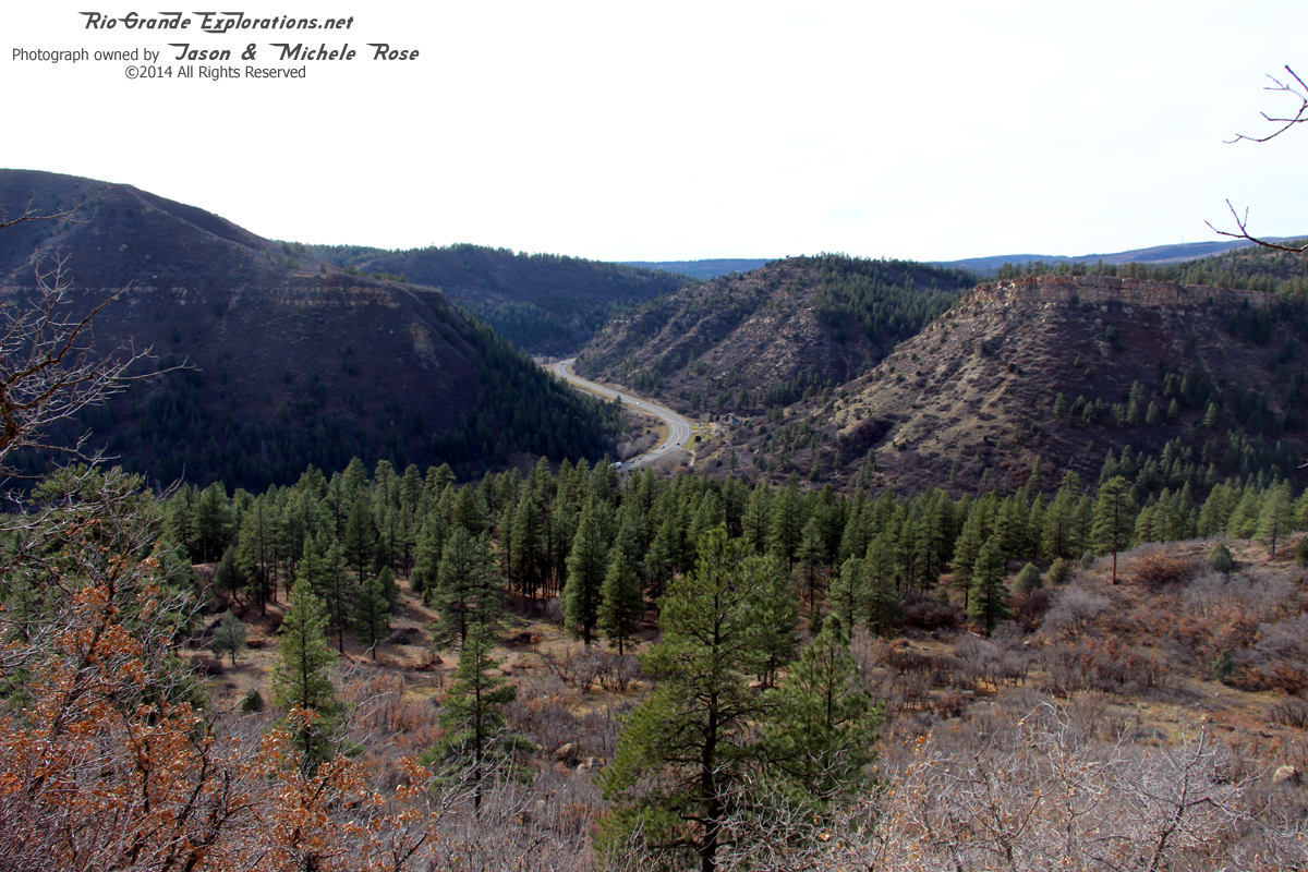
Looking west (railroad east) towards Franklin Junction
|
|
|
|
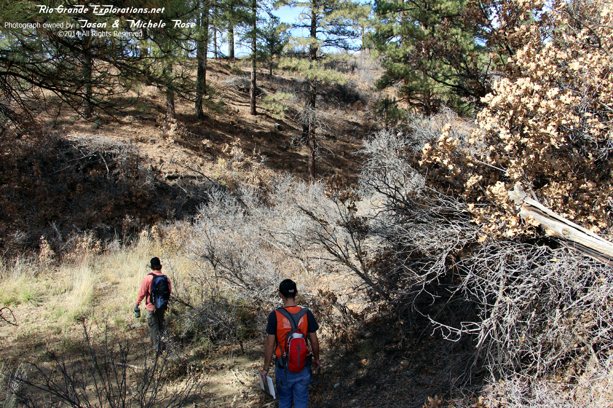
At this point, Joe wanted to take a shortcut. But, like most short cuts, this was neither "short" nor a "cut" and we had to back-track to the RoW. This little excursion up the creek bed wore me out and we still had a long way to go.
|
|
|
|
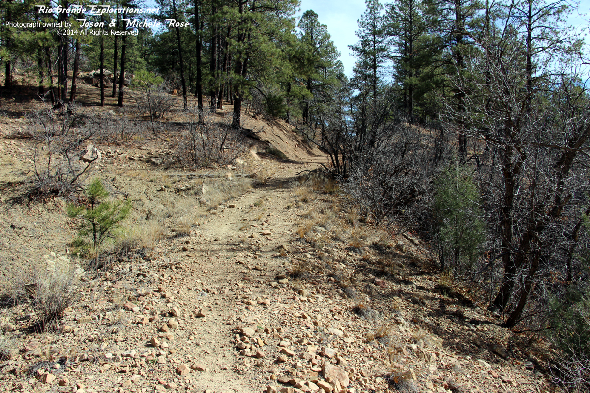
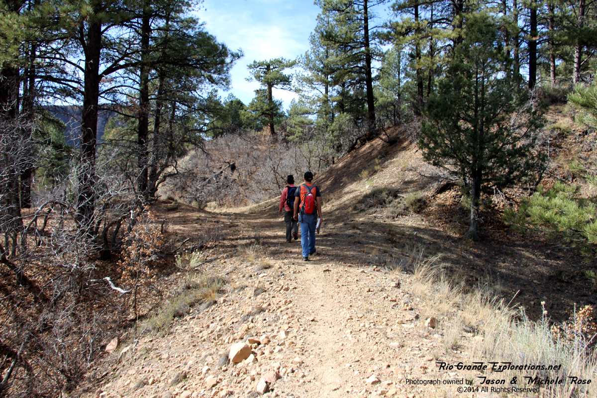
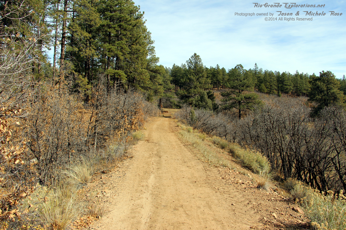
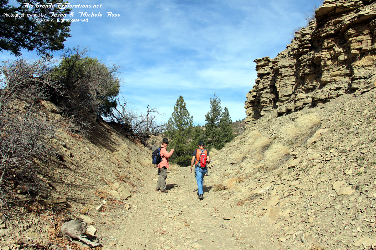
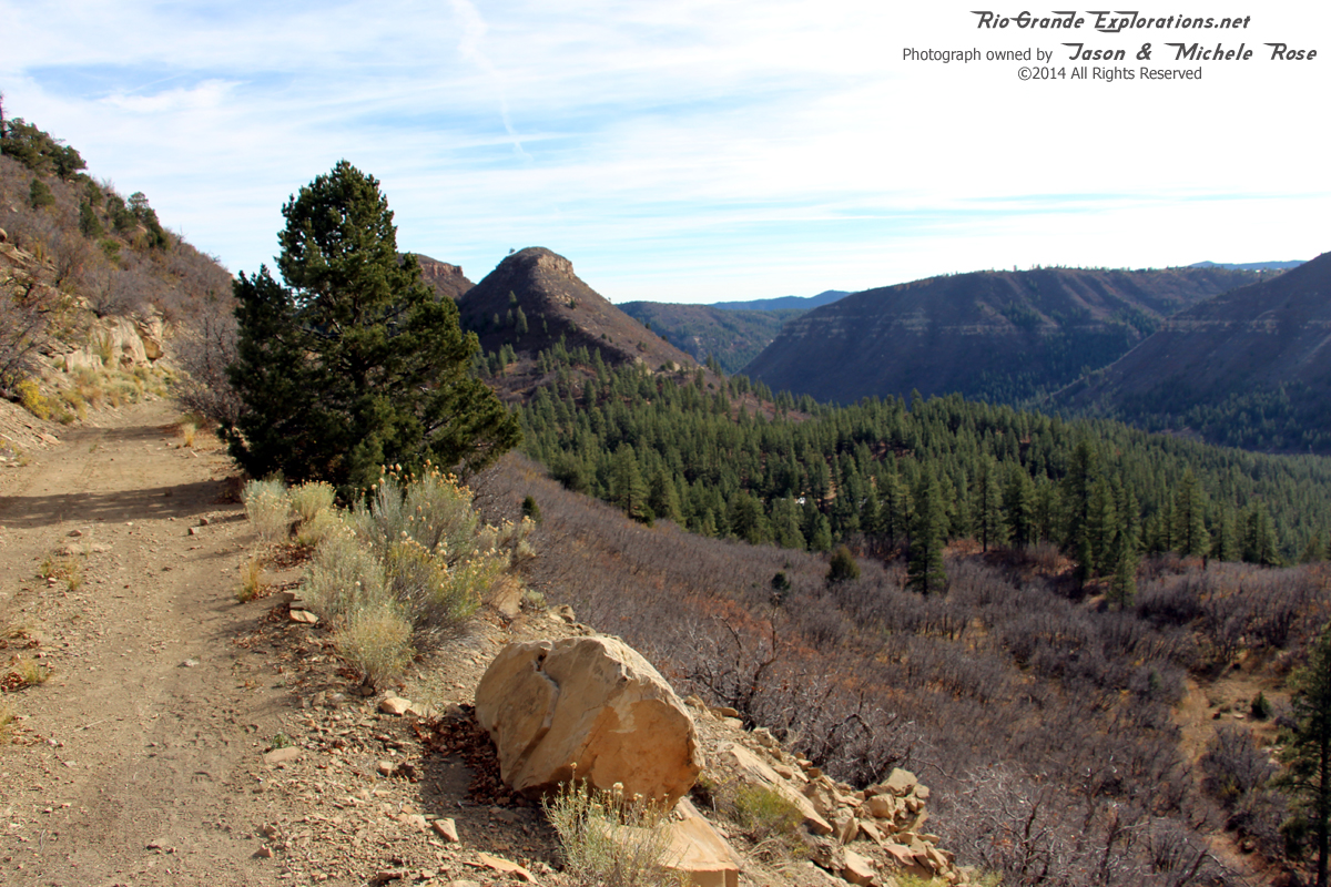
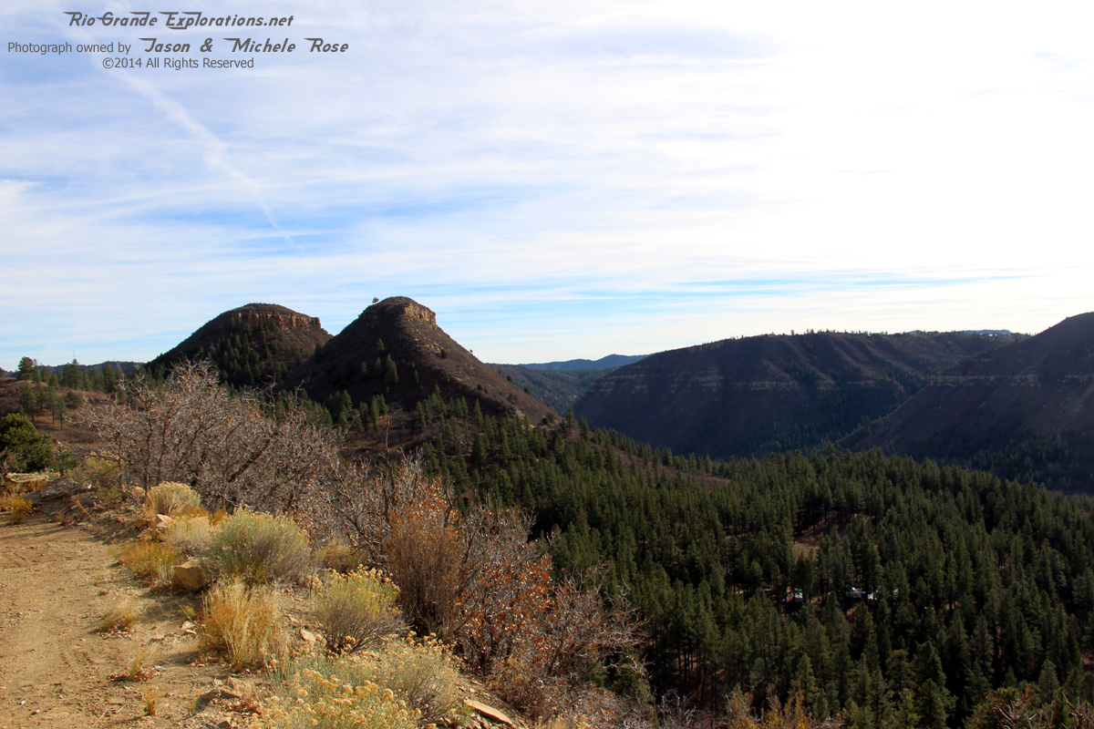
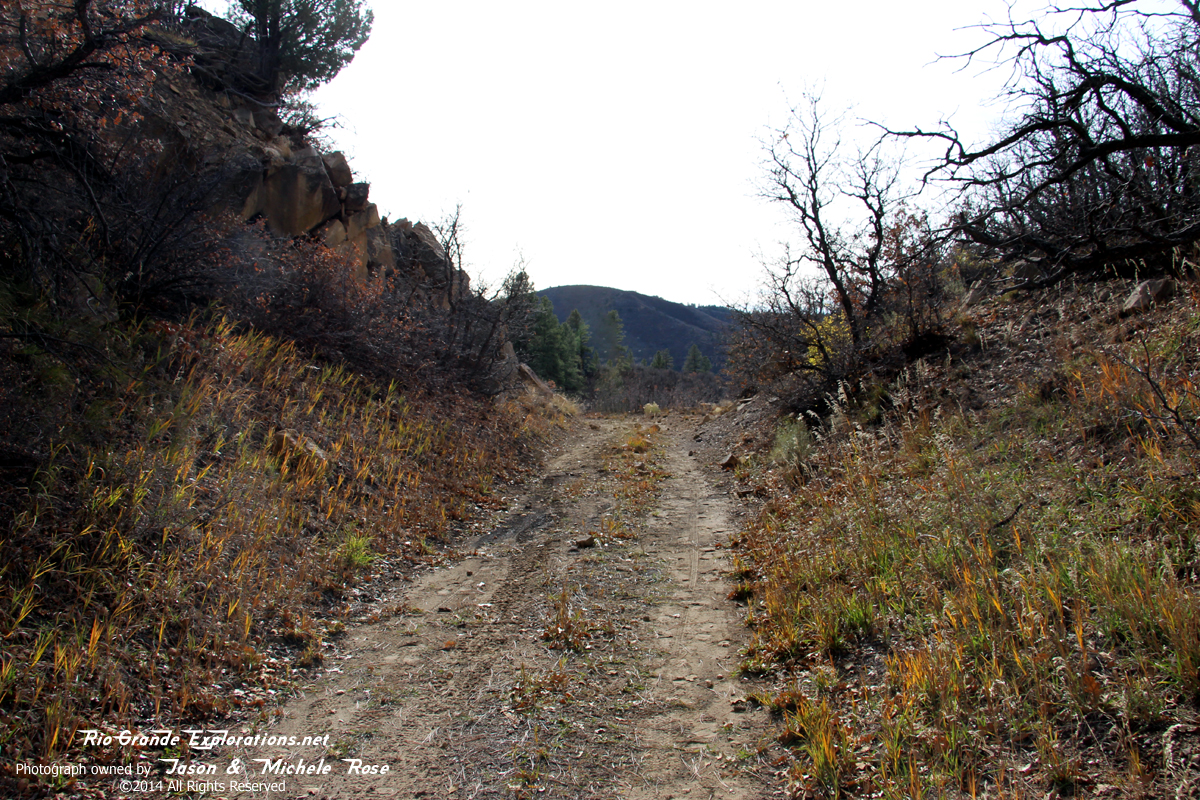
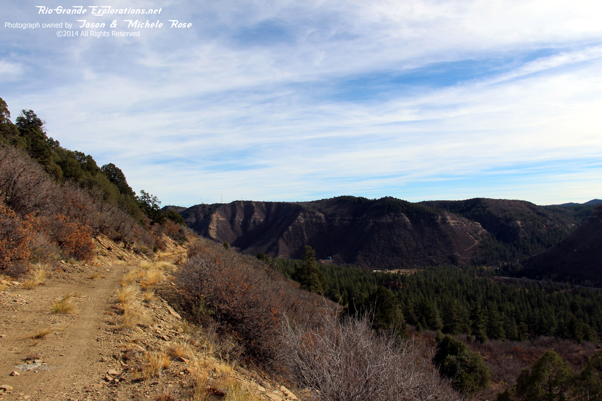
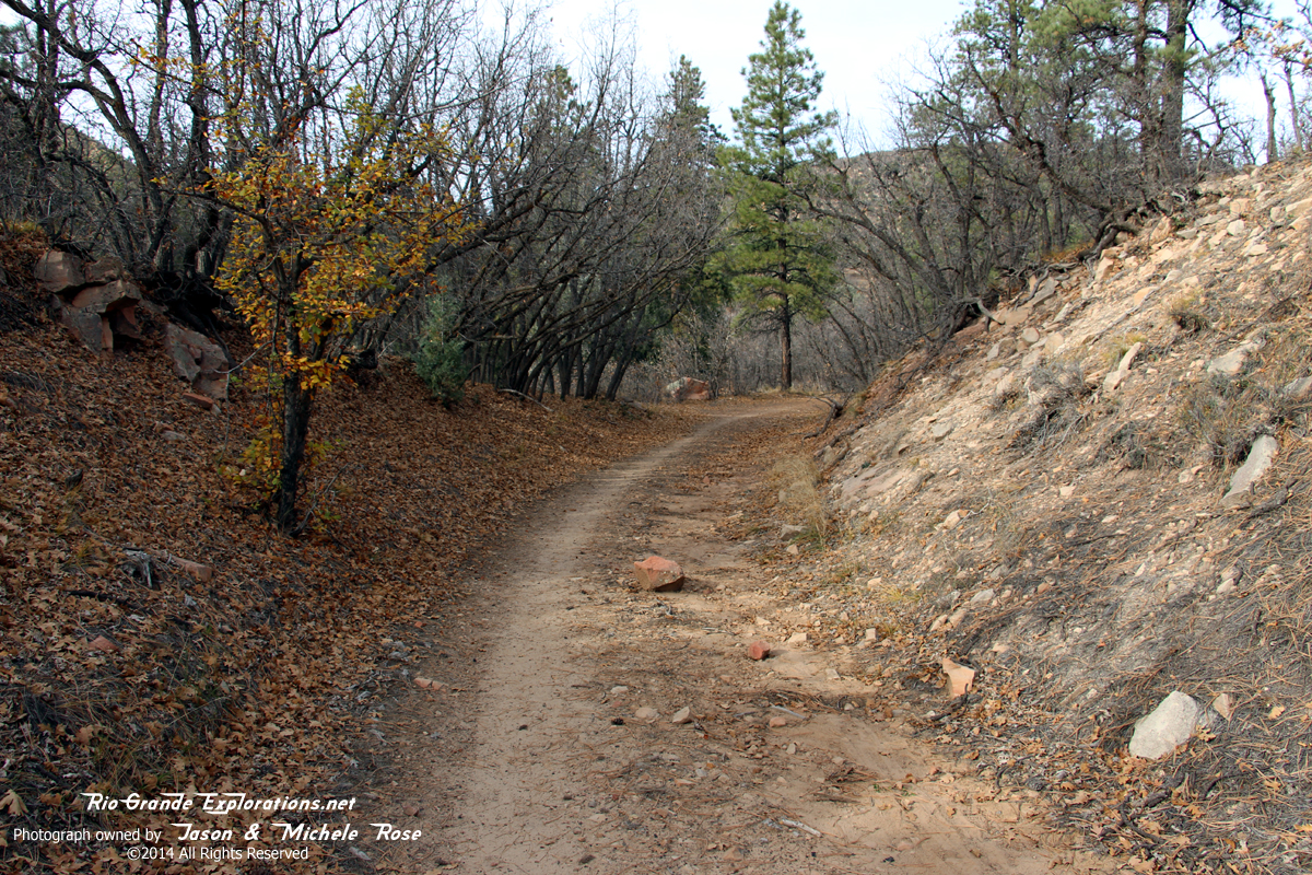
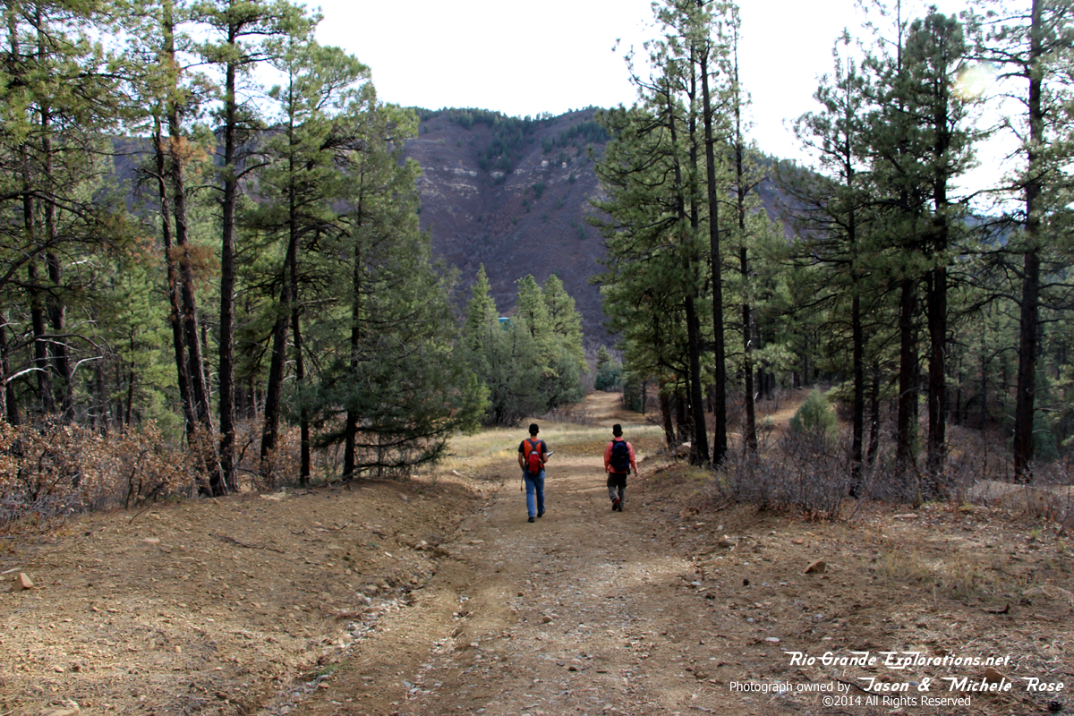
Back on the grade after the short cut, we followed it up. Looking east (railroad west).
|
|
|
|
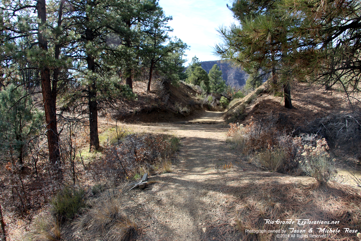
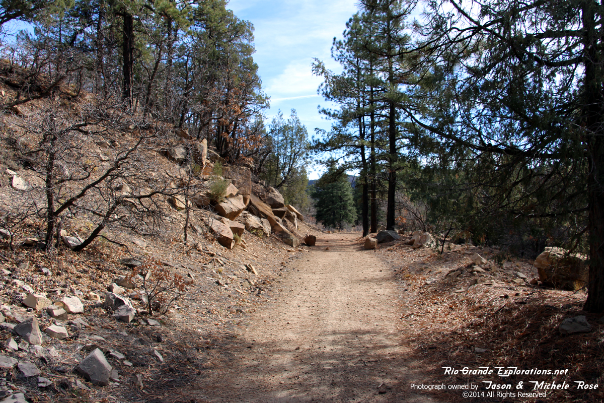
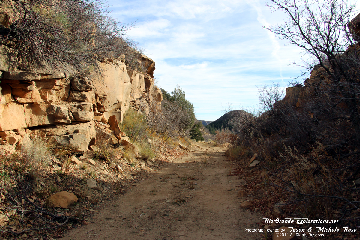
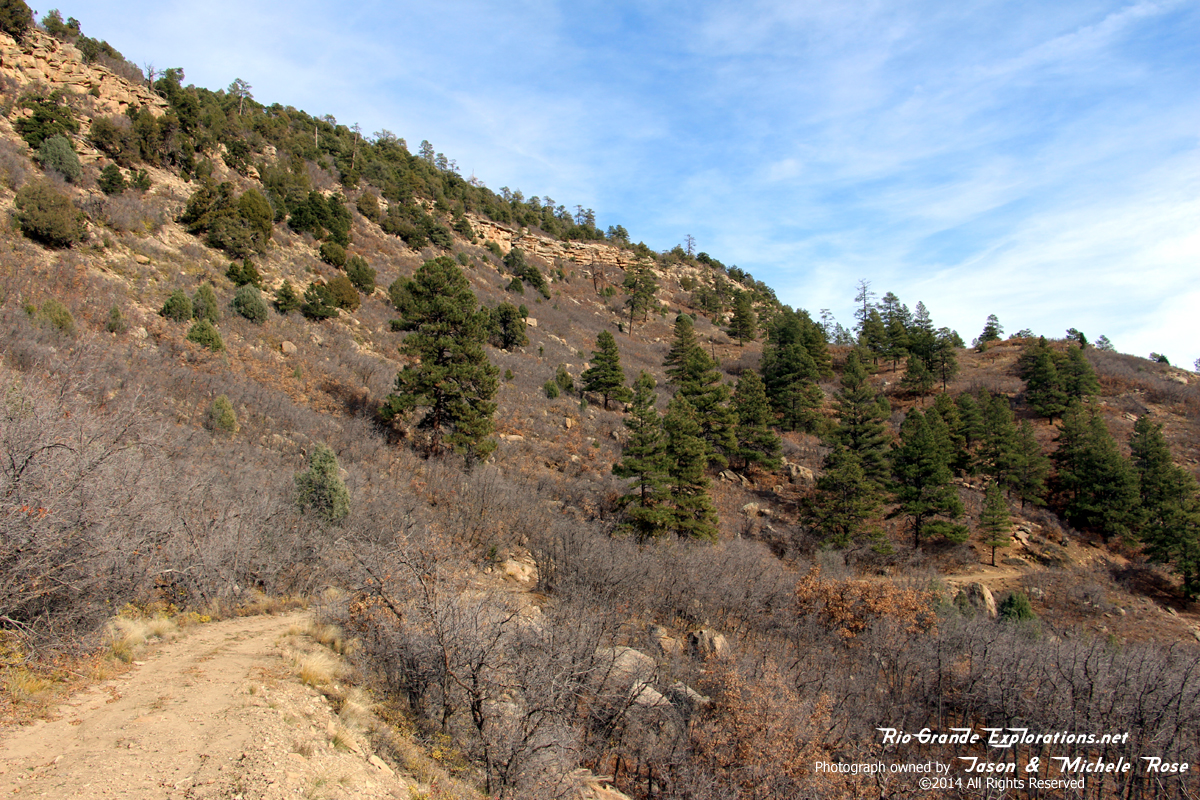
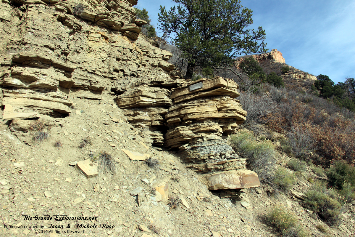
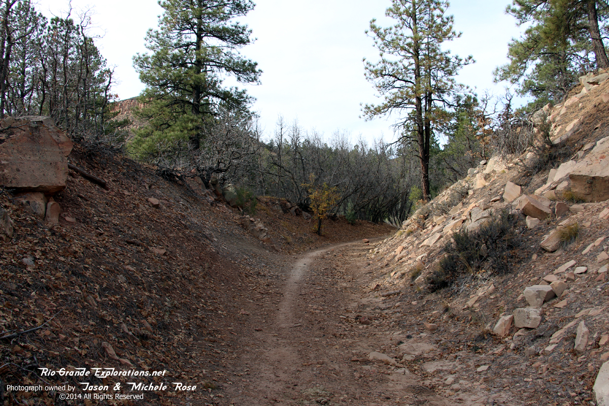
Neat cut
|
|
|
|
|
|
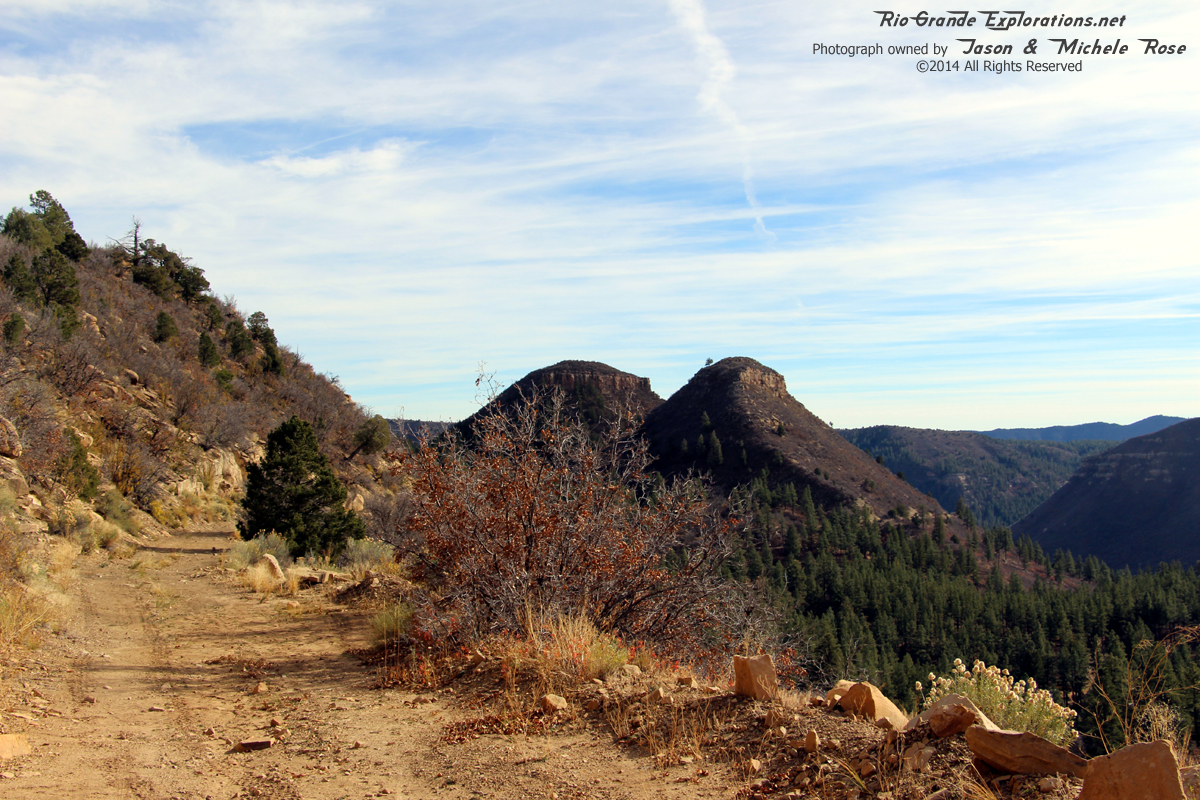
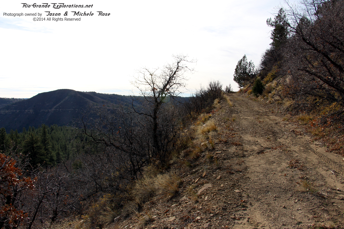
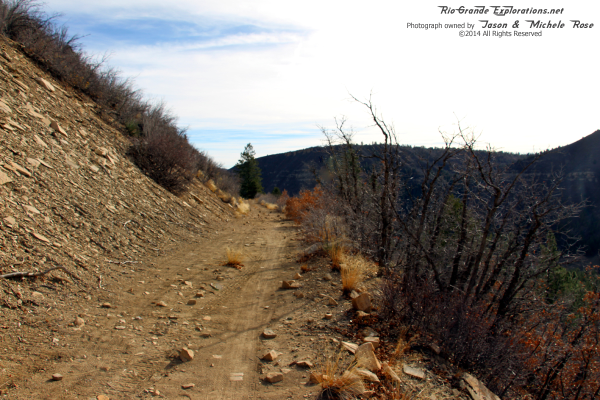
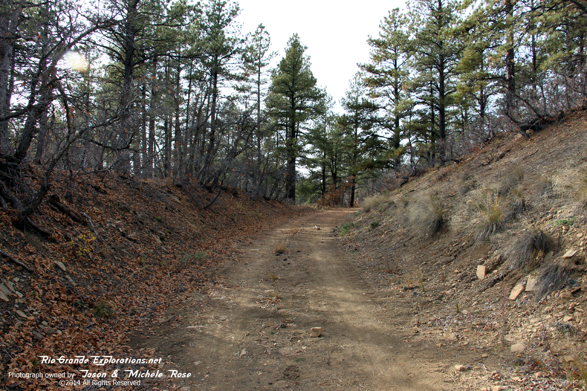
Looking west along the RGS
|
|
|
|
|
|
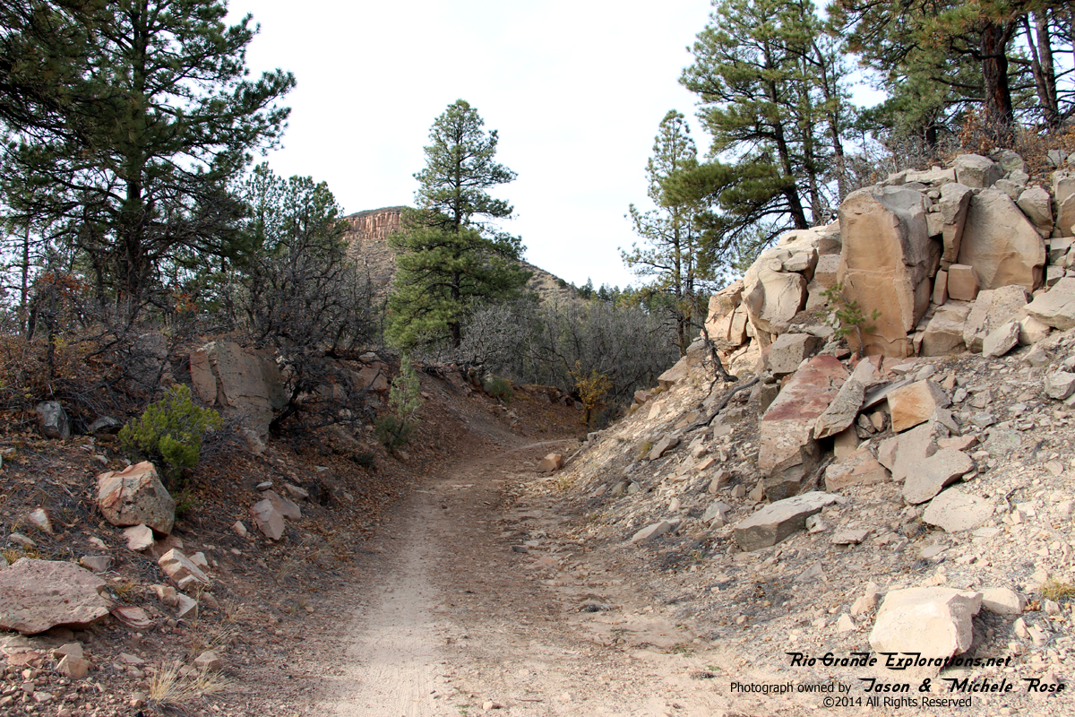
Another cut
|
|
|
|
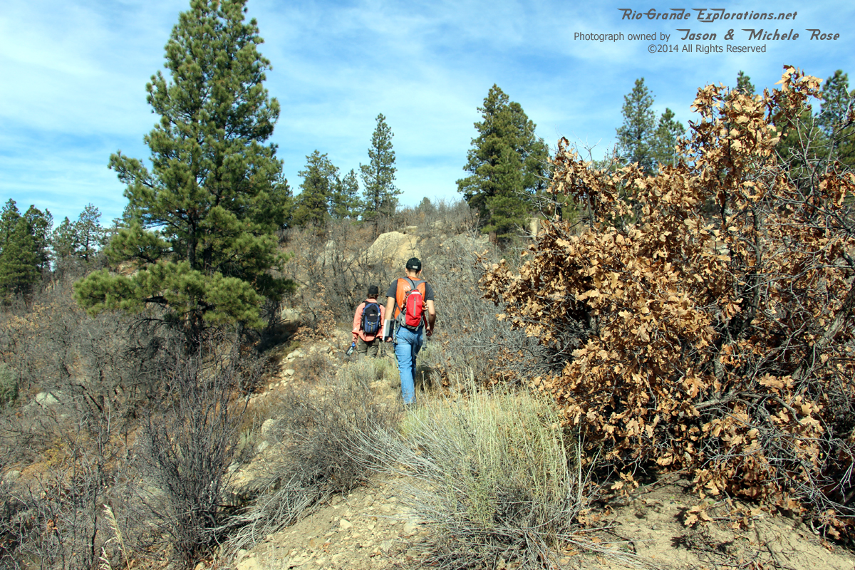
So, here I am hiking an abandoned railroad grade near Durango with two D&S Engineers. Sometimes, I am genuinely surprised by the gifts that God bestows. Seriously, how cool is this?!?!
|
|
|
|
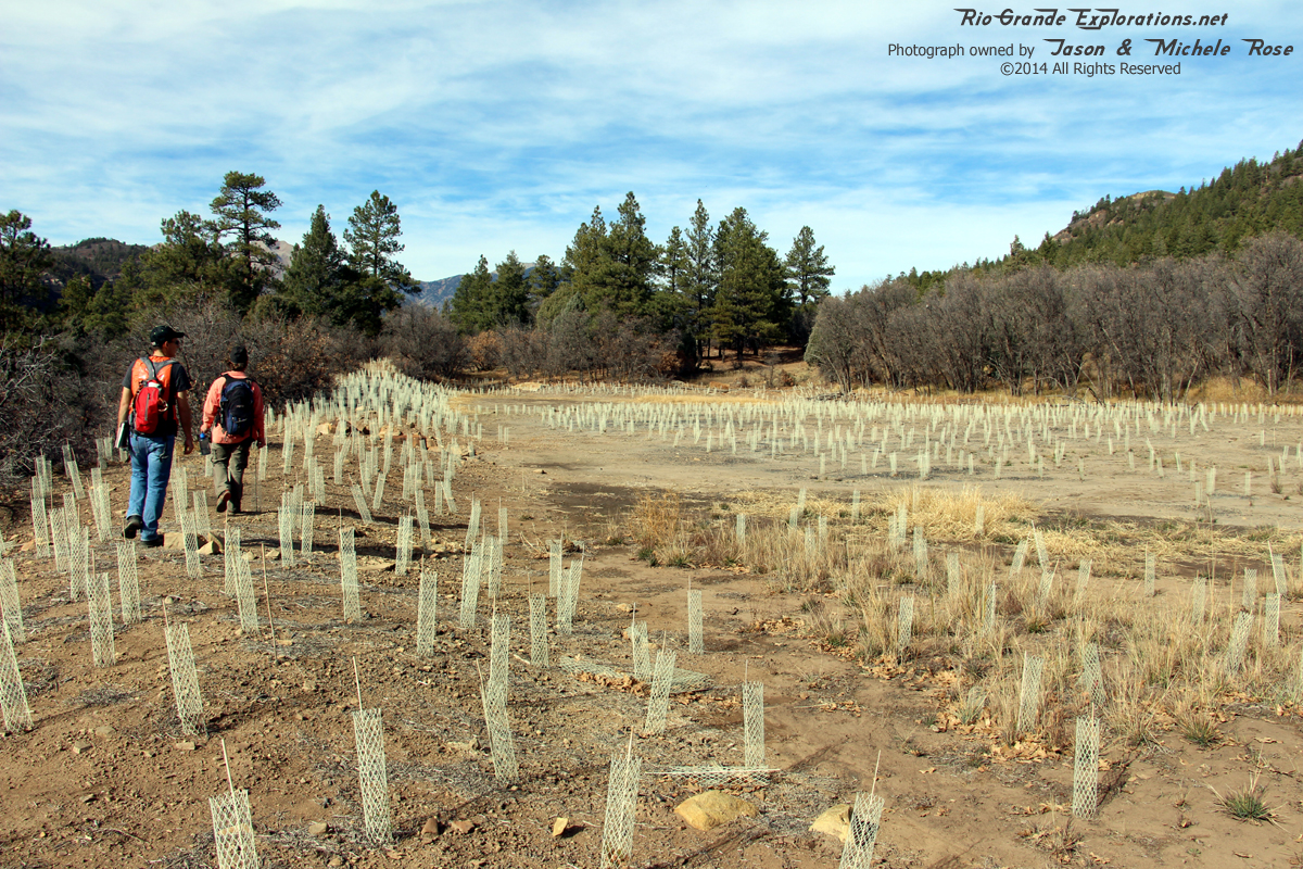
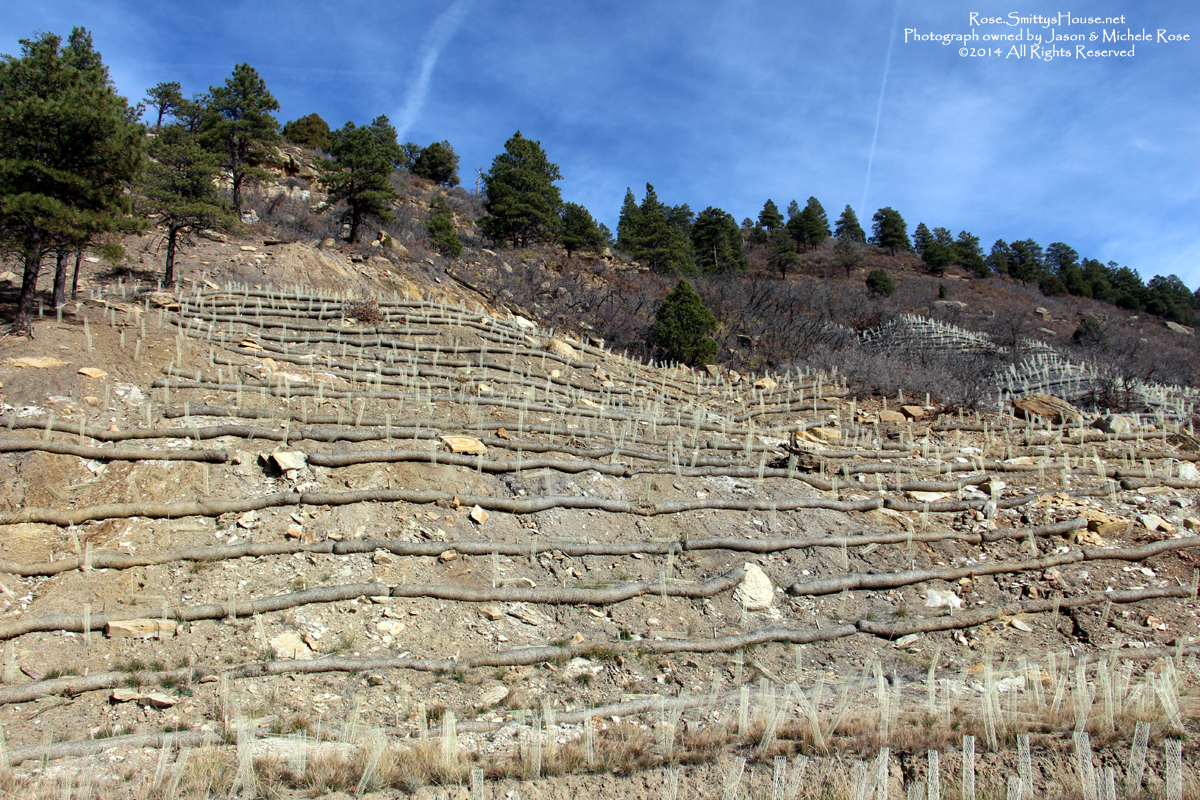
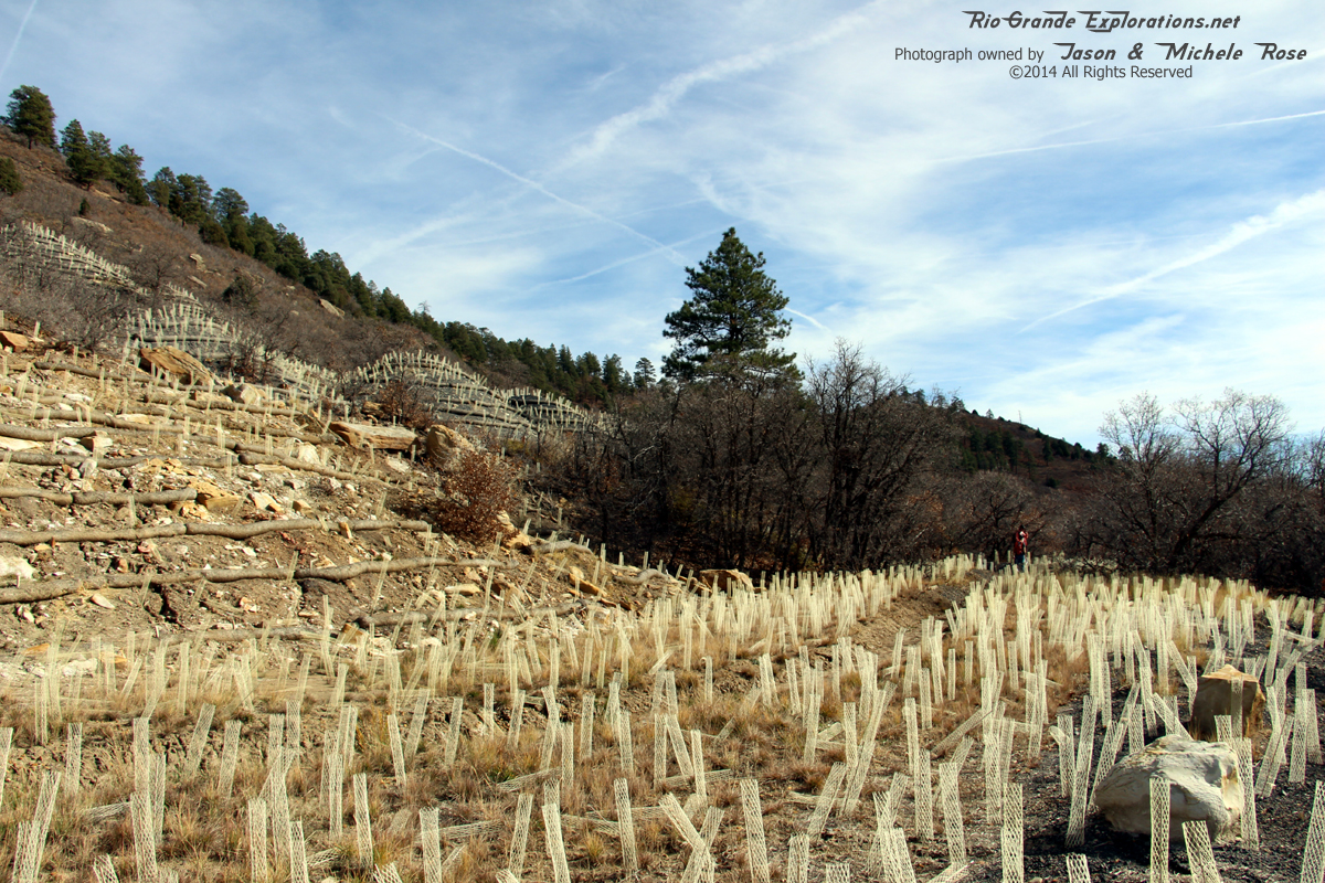
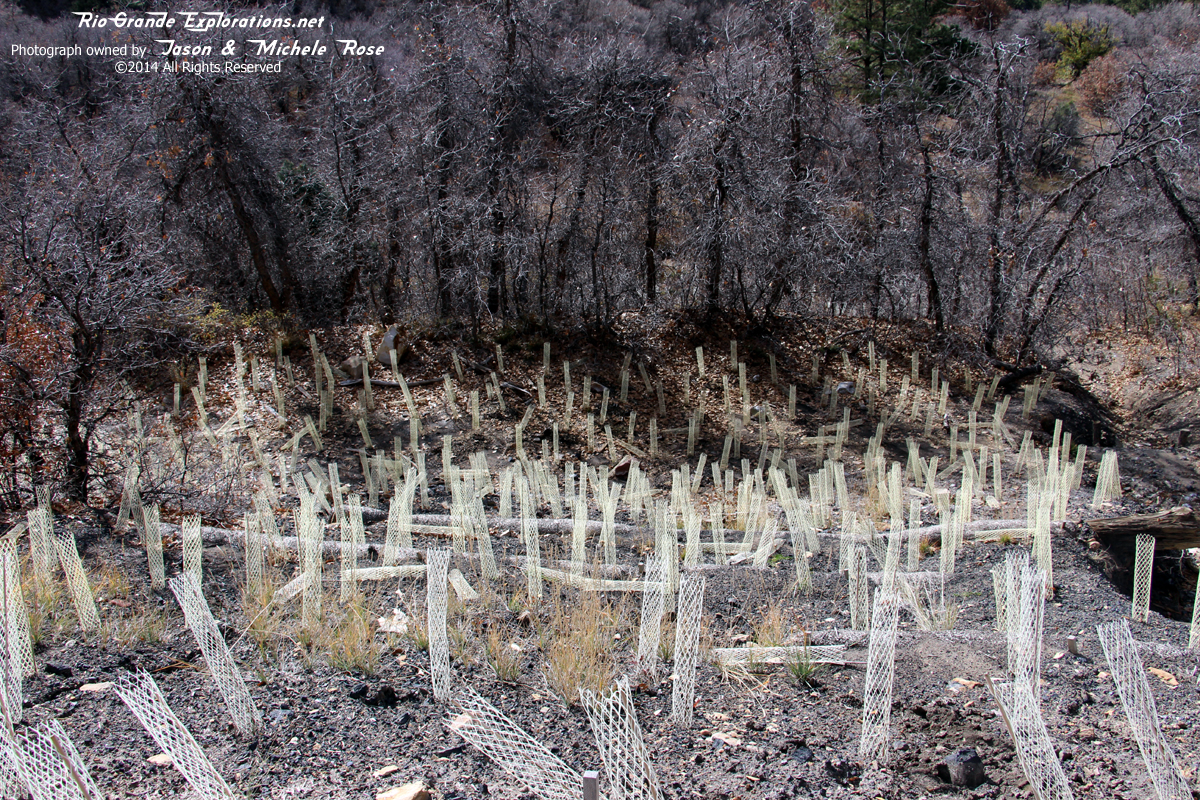
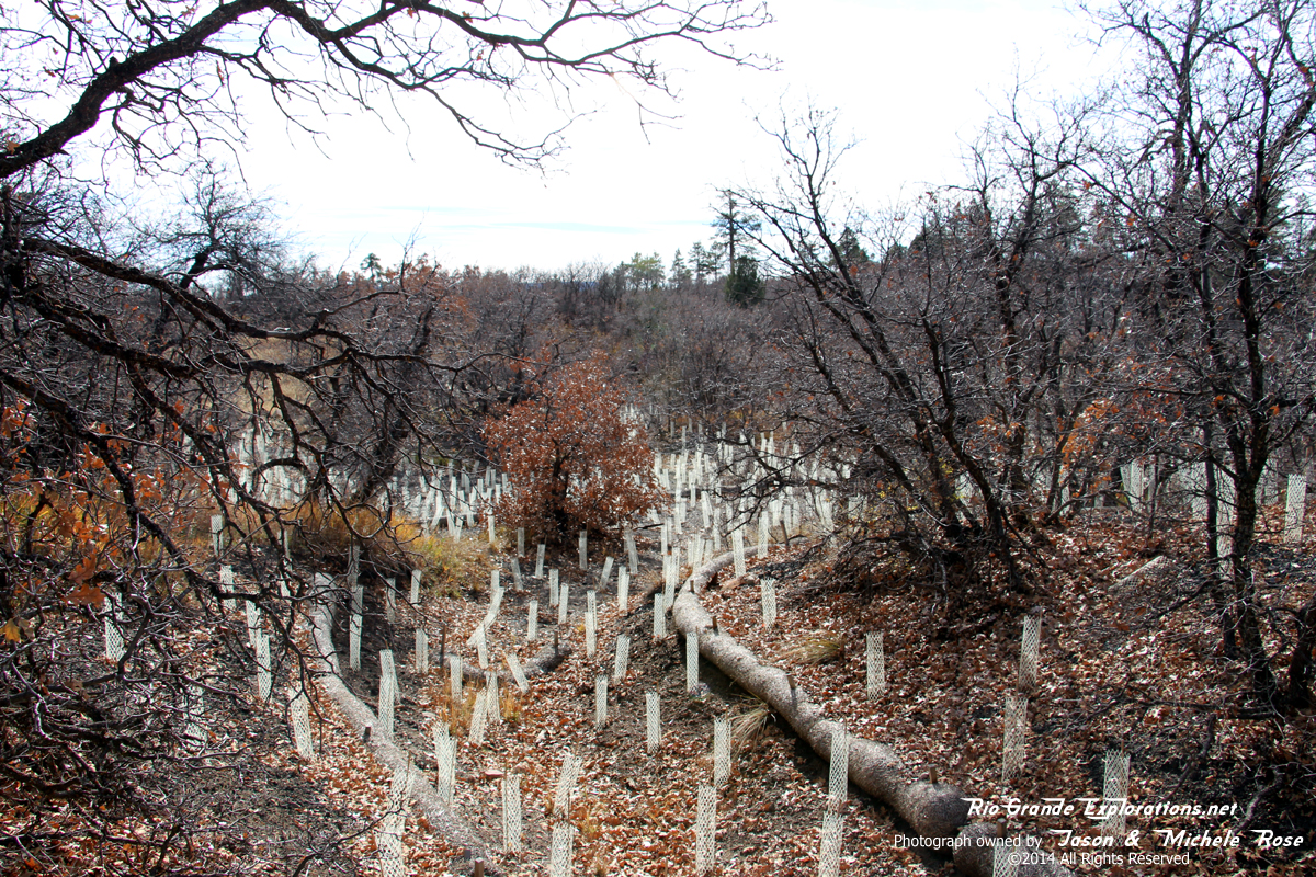
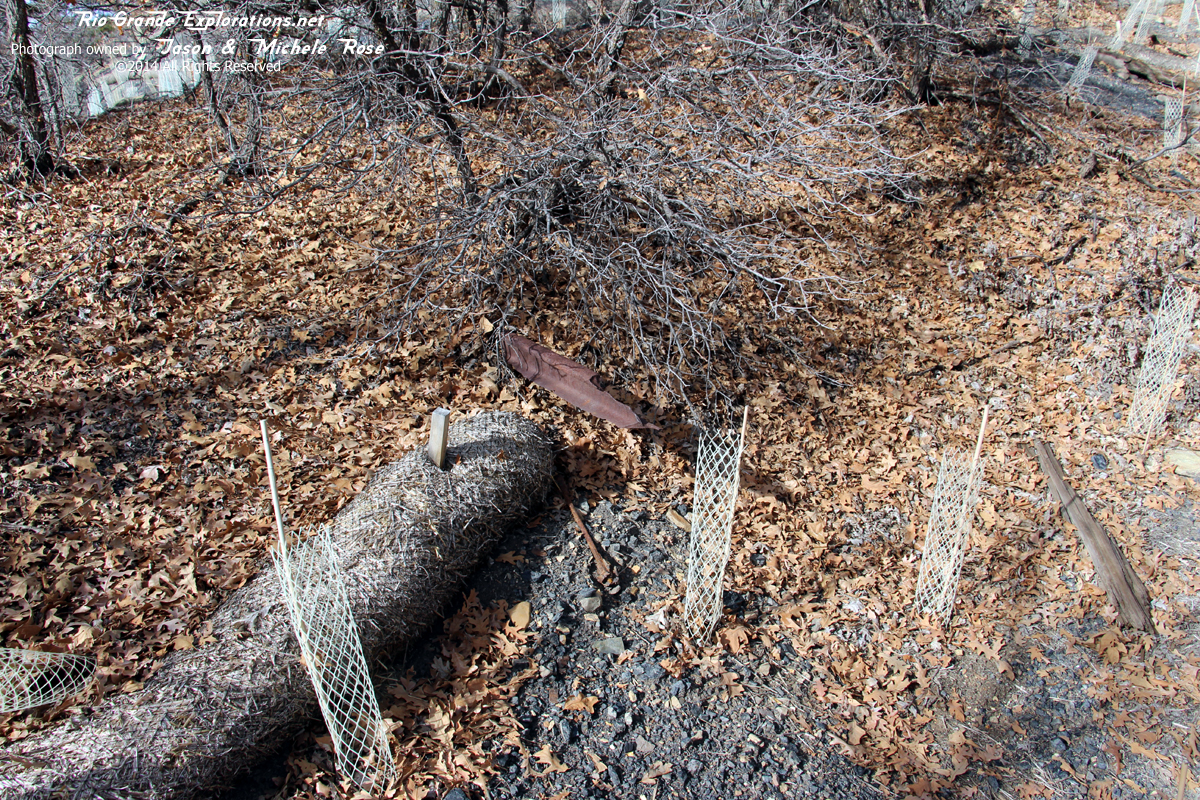
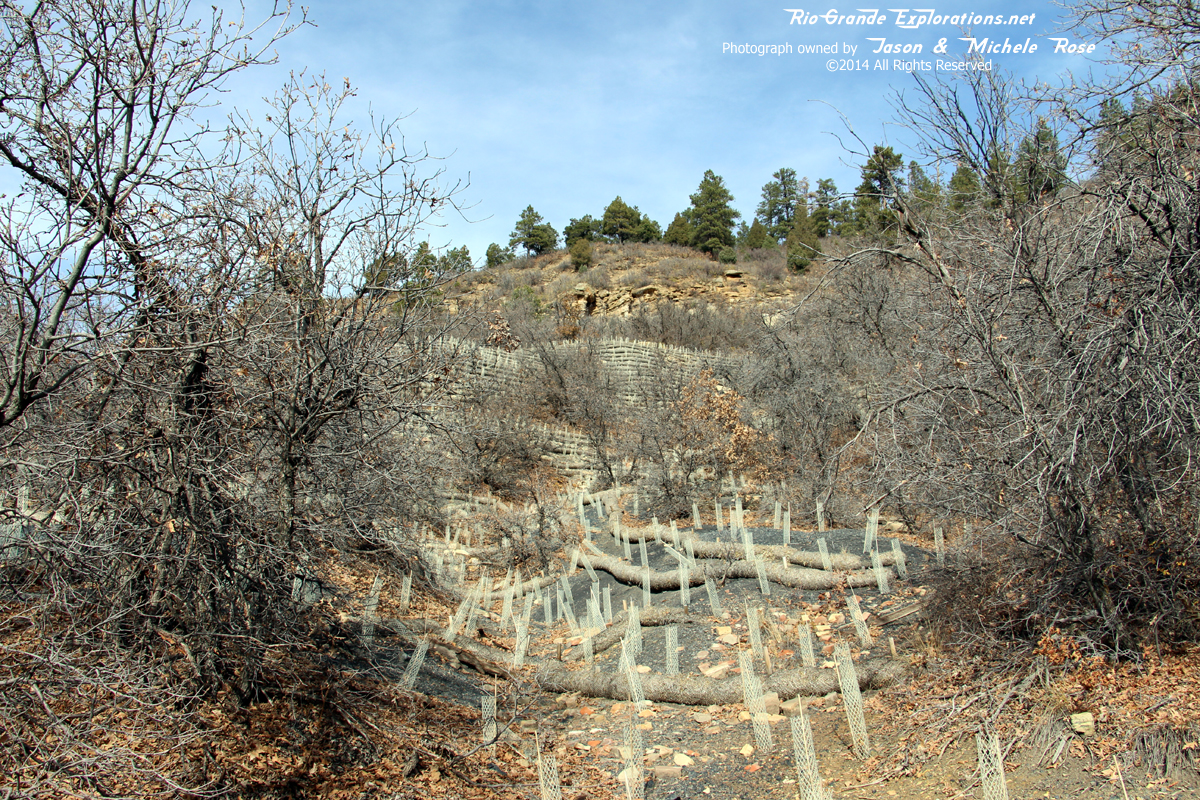
Nearing the mine area, we found tens of thousands of saplings recently planted. However, the area is saturated in acidic coal cinders and it looked liked nearly all of the trees were dead. Good intention. BAD execution.
|
|
|
|
Nearing the mine
|
|
|
|
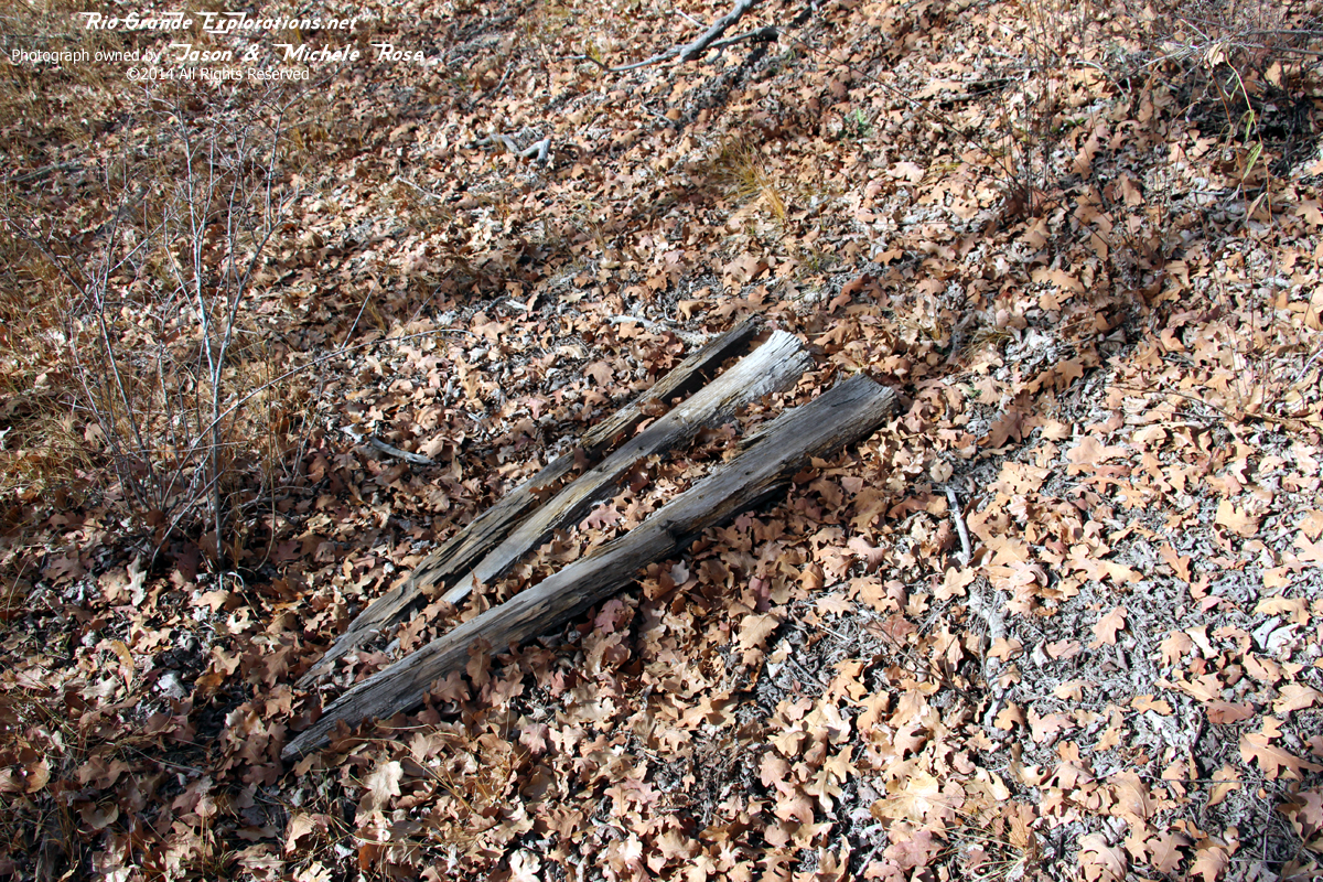
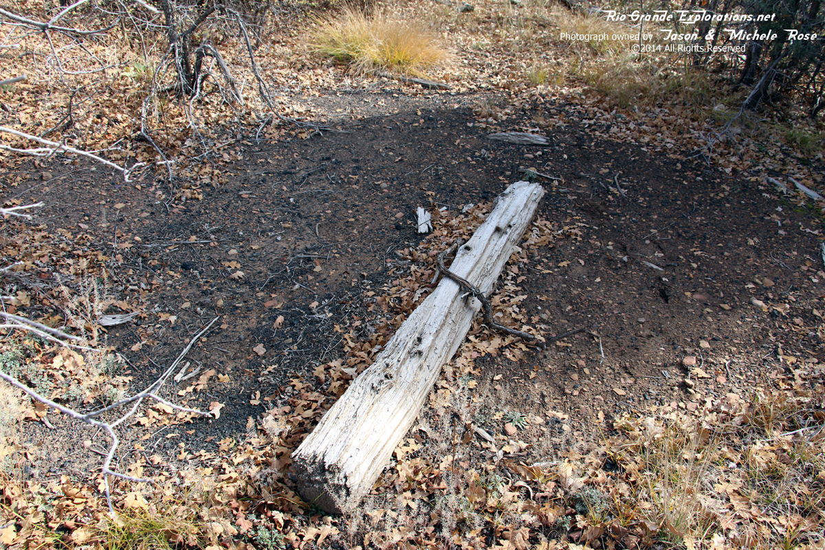
Tie
|
|
|
|
Another tie - 85 years after the last train departed
|
|
|
|
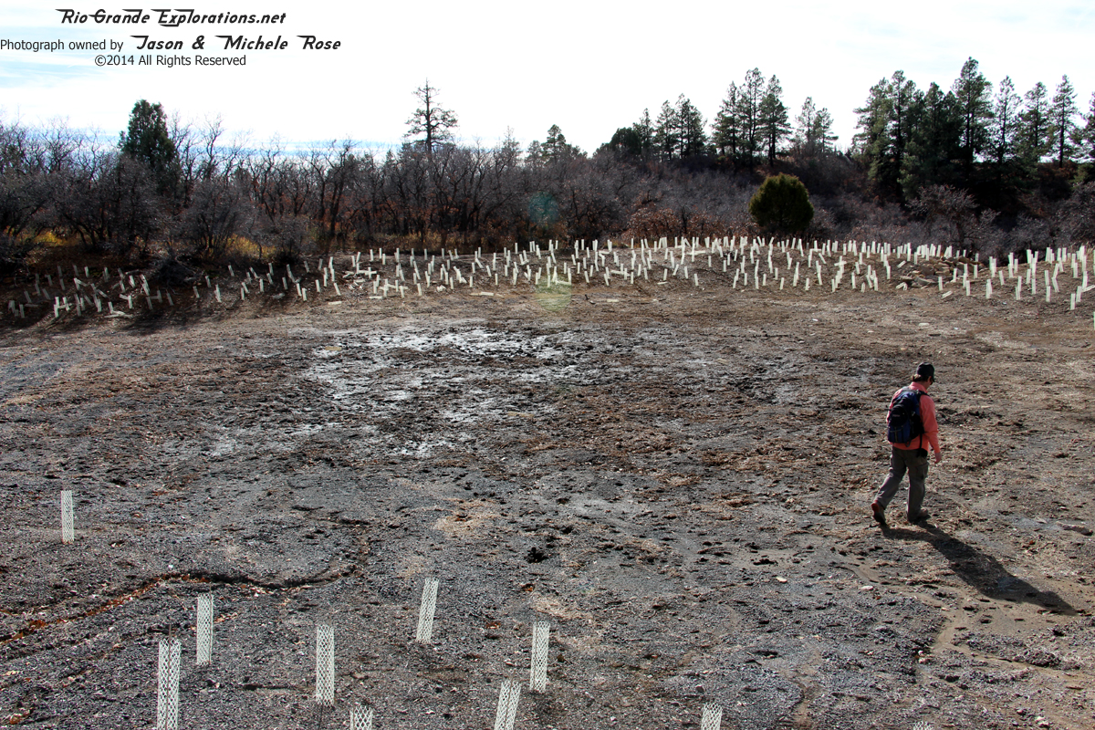
Thousands and thousands of dead saplings
|
|
|
|
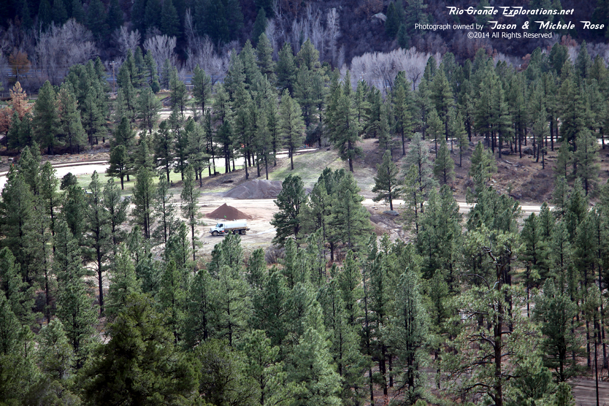
This is approximately where the mine, town, and railroad yard were located.
|
|
|
|
|
|
|
|
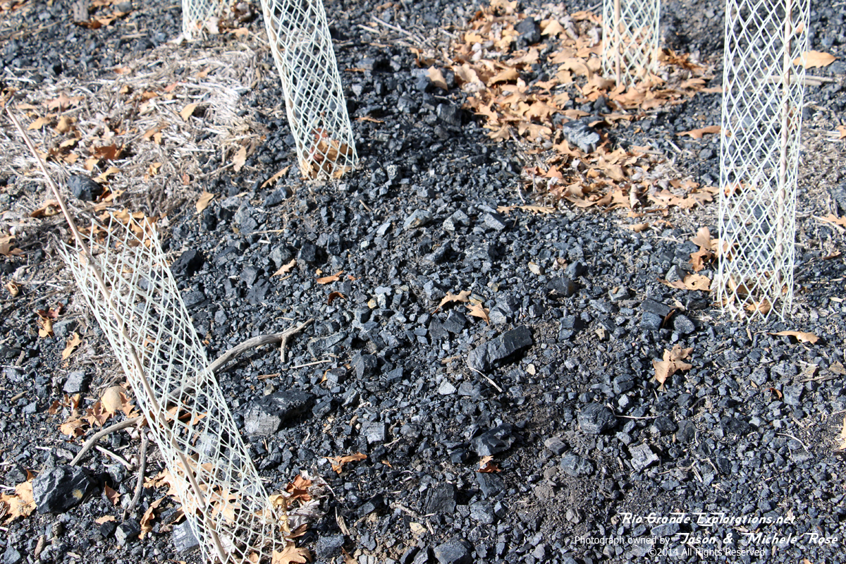
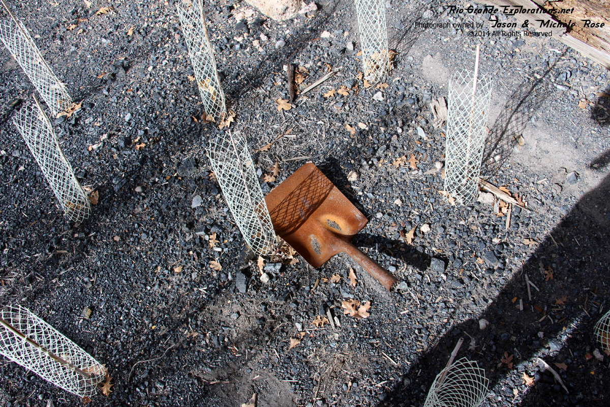
Saplings planted right into a coal pile. These geniuses must have been libtards.
|
|
|
|
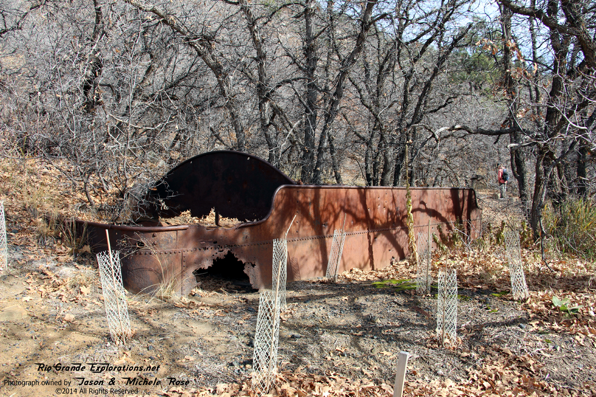
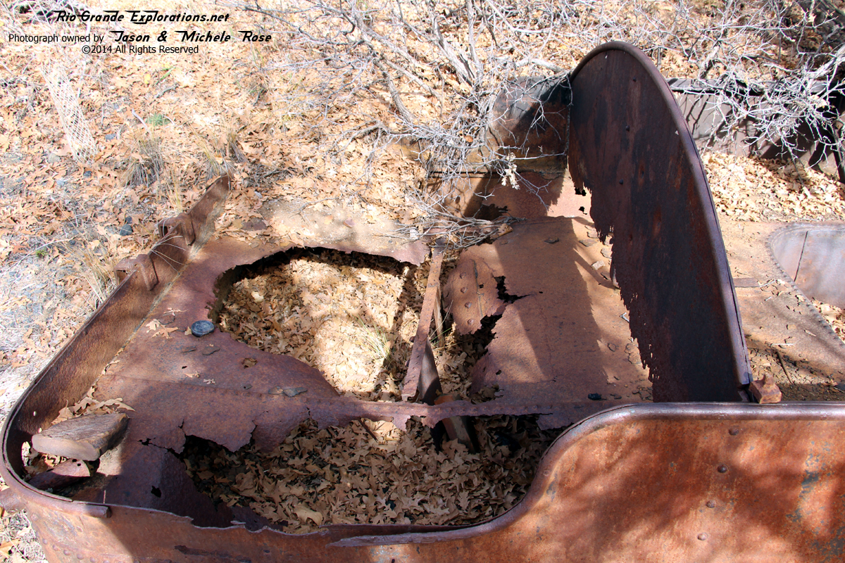
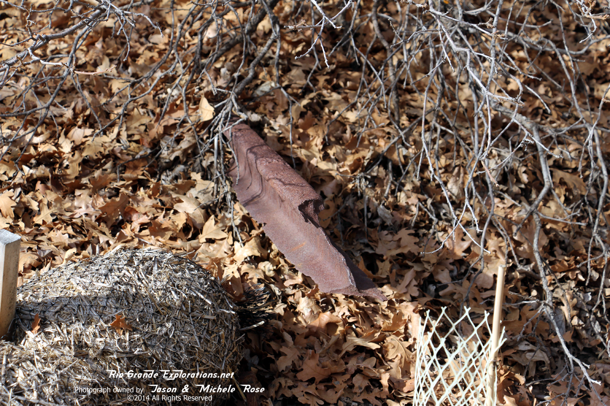
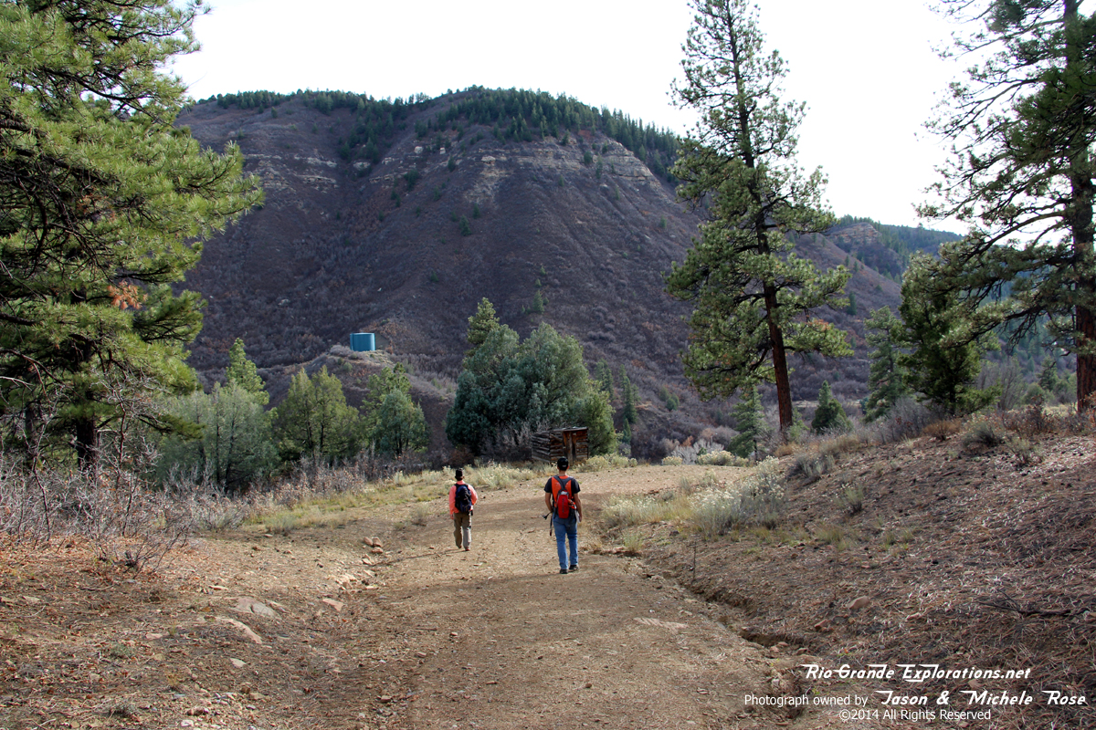
A tender was left behind. We surmised it was used for water storage.
|
|
|
|
No idea what the number was.
|
|
|
|
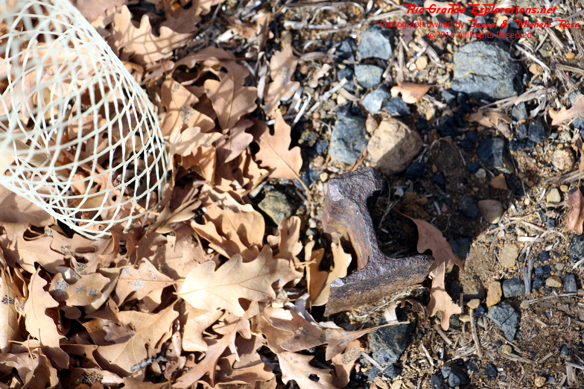
Rail
|
|
|
|
Looks pretty small. Maybe 40 pound?
|
|
|
|
|
|
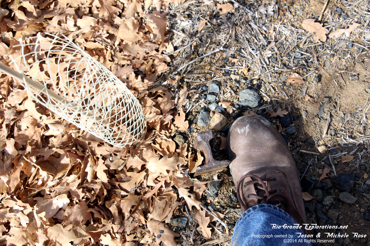
More rail
|
|
|
|
|
|
|
|
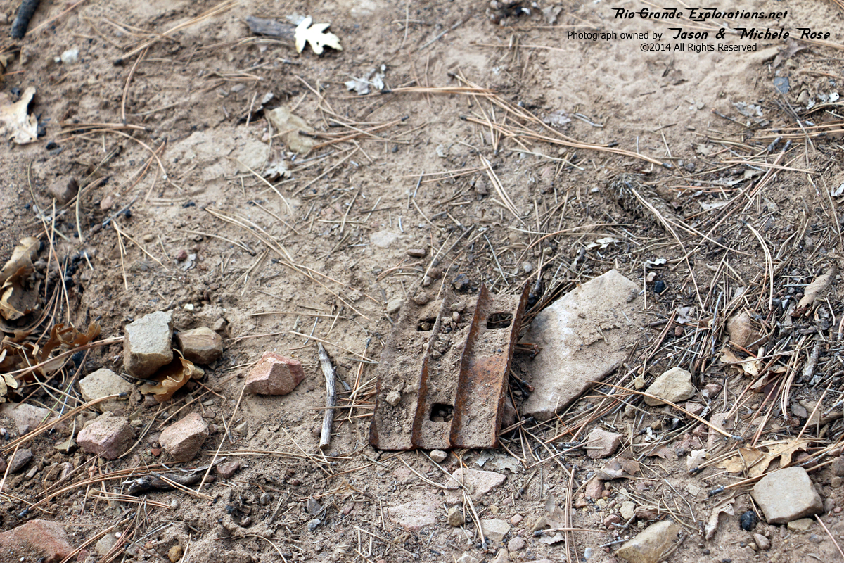
Coal scoop?
|
|
|
|
|
|
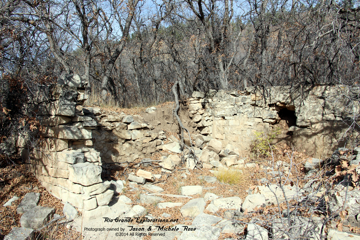
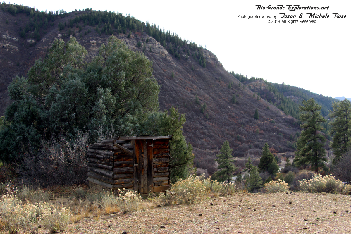
Foundation from a house
|
|
|
|
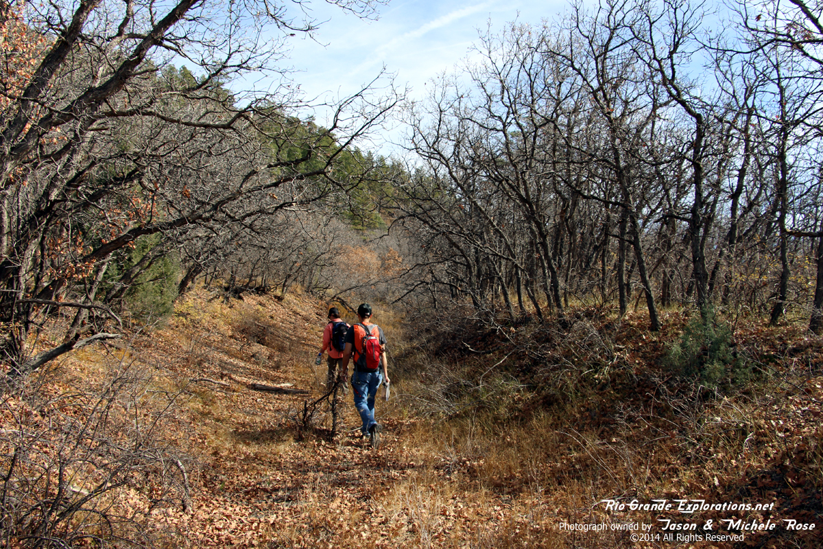
Heading back down
|
|
|
|
|
|
|
|
|
|
|
|
|
|
|
|
|
|
|
|
|
|
|
|
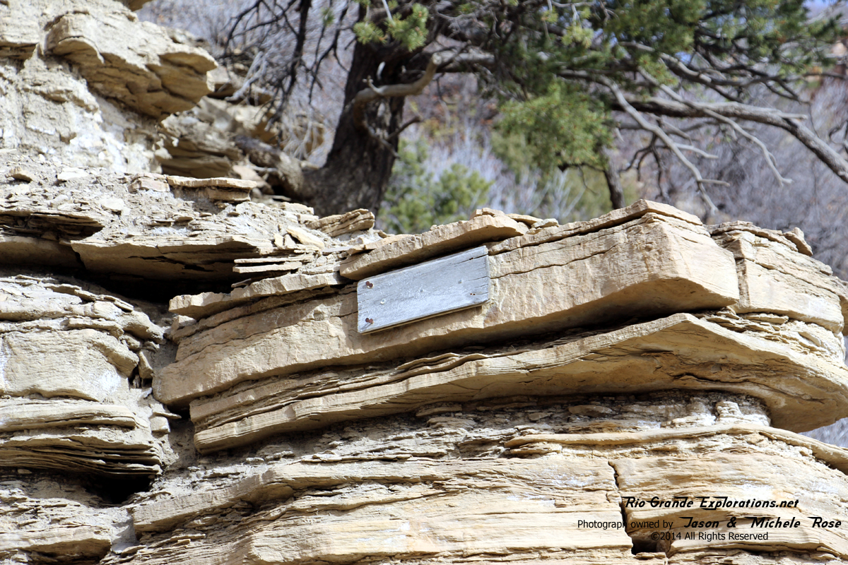
Note the sign bolted to the rock. Not sure if it's related to the railroad, but it's a safe bet that it is.
|
|
|
|
|
|
|
|
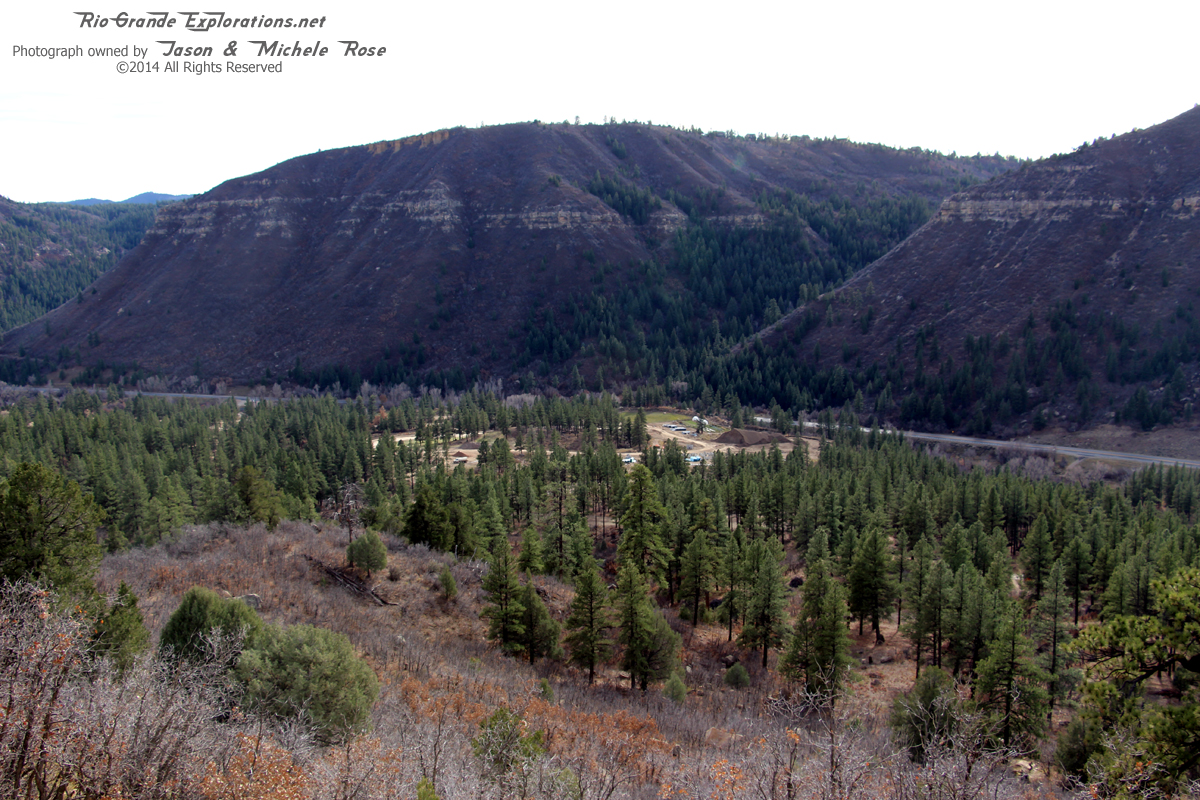
Approximate location of Franklin Junction where the Boston Coal & Fuel Company Railroad joined the Rio Grande Southern, about 3 miles west of Durango.
|
|
|
|
|
|
|
|
|
|
|
|
|
|
Tie plate We left it where we found it
|
|
|
|
|
|
|
|
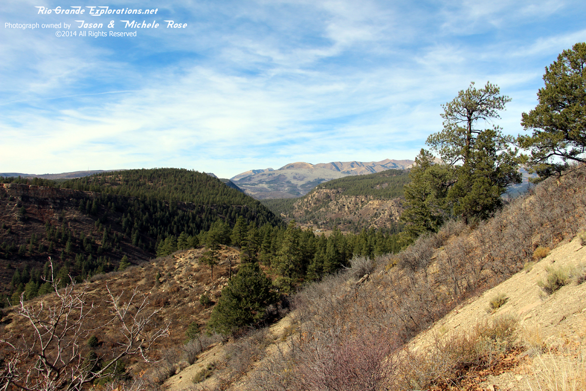
This was a great hike though some real pretty terrain. My thanks to Jon for inviting me to tag along.
|
|
|
|
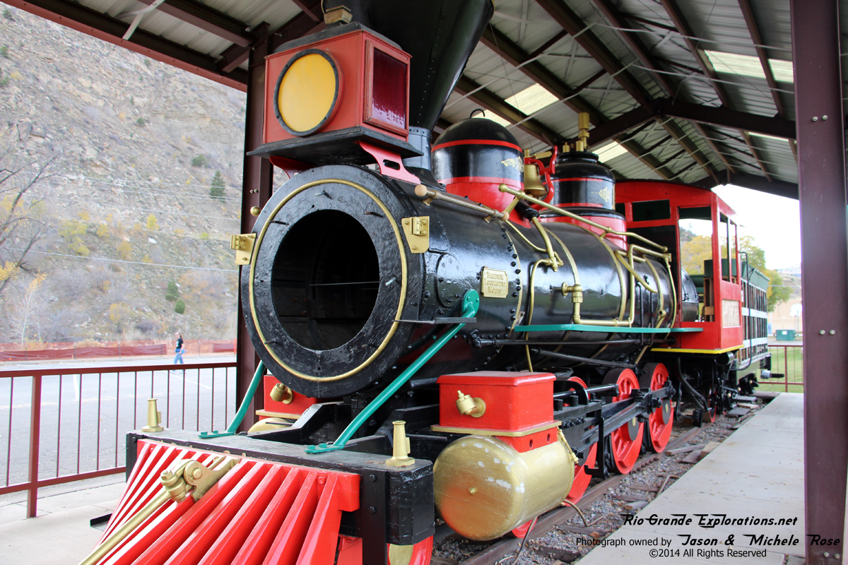
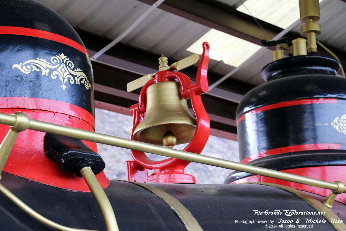
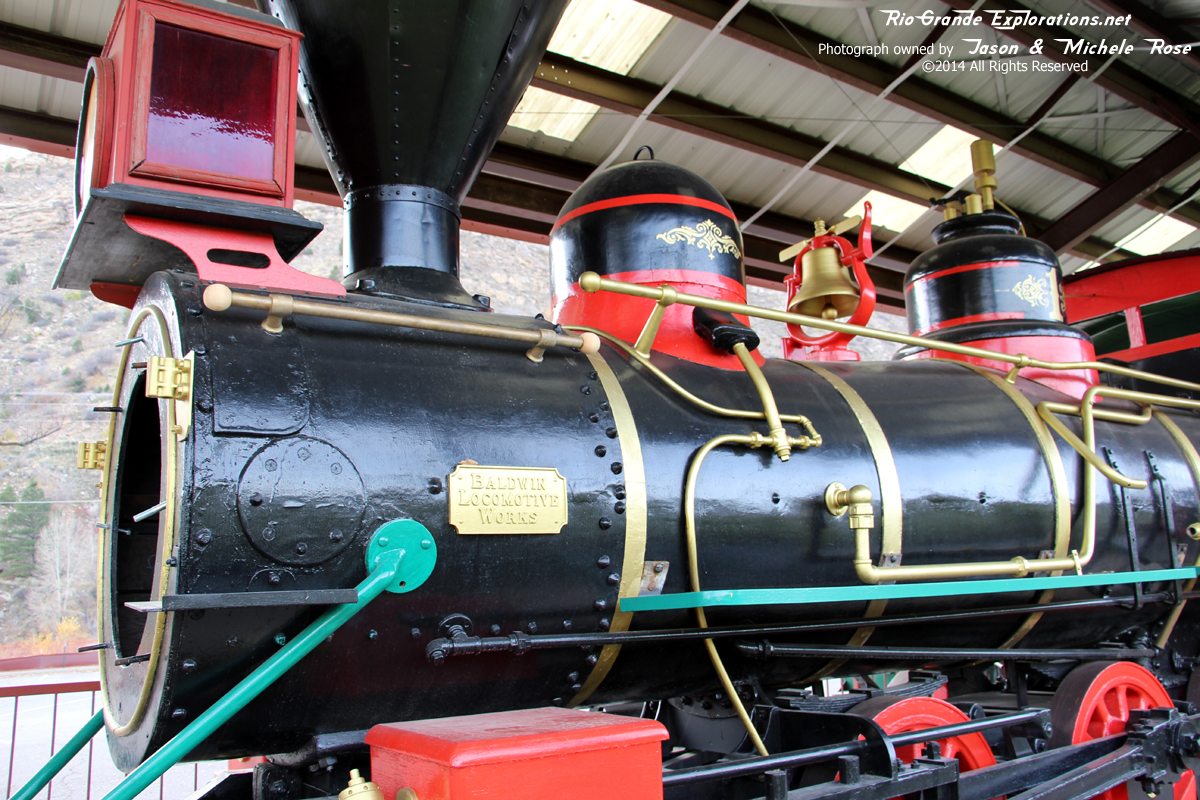
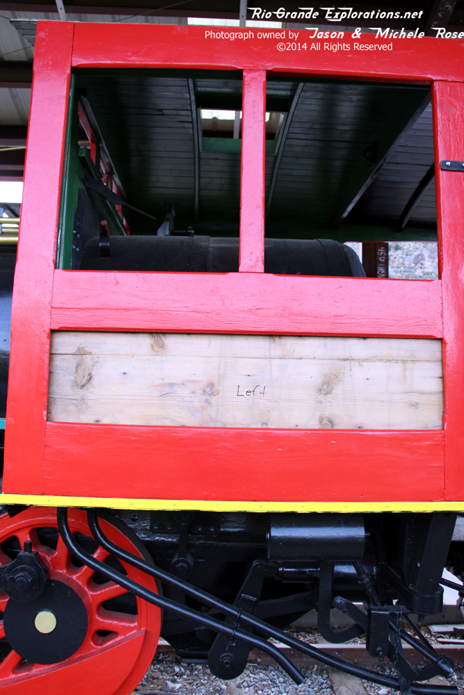
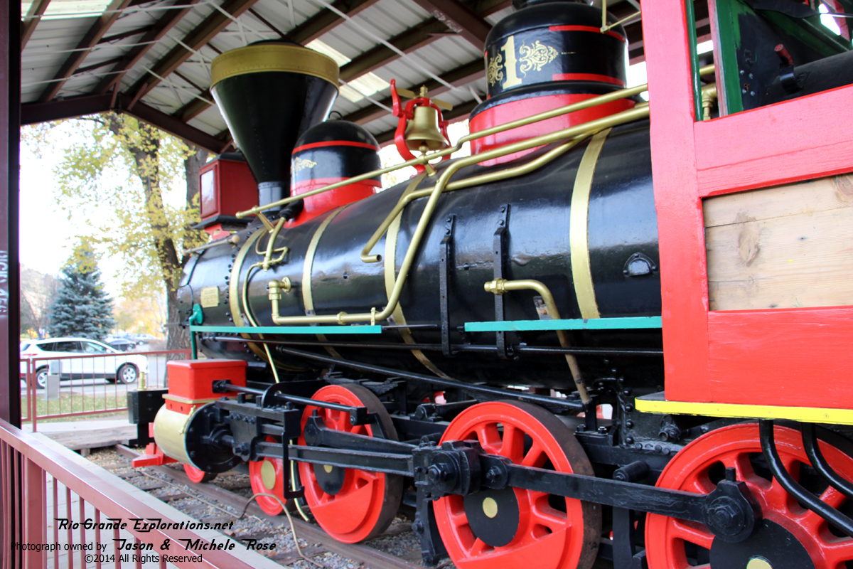
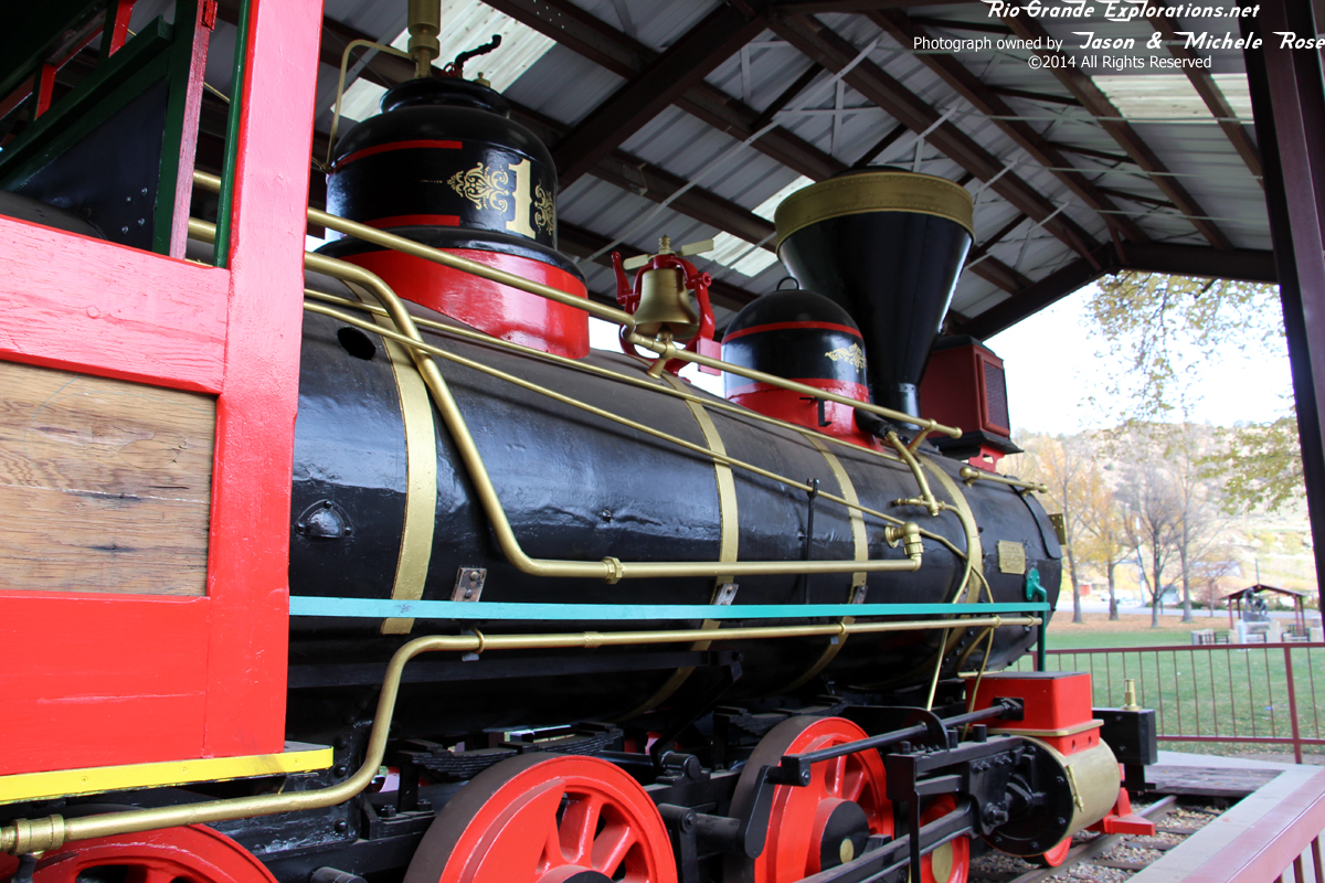
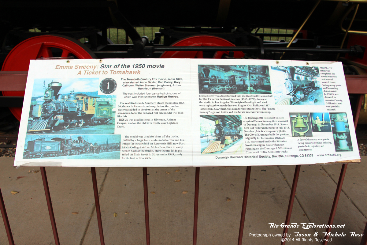
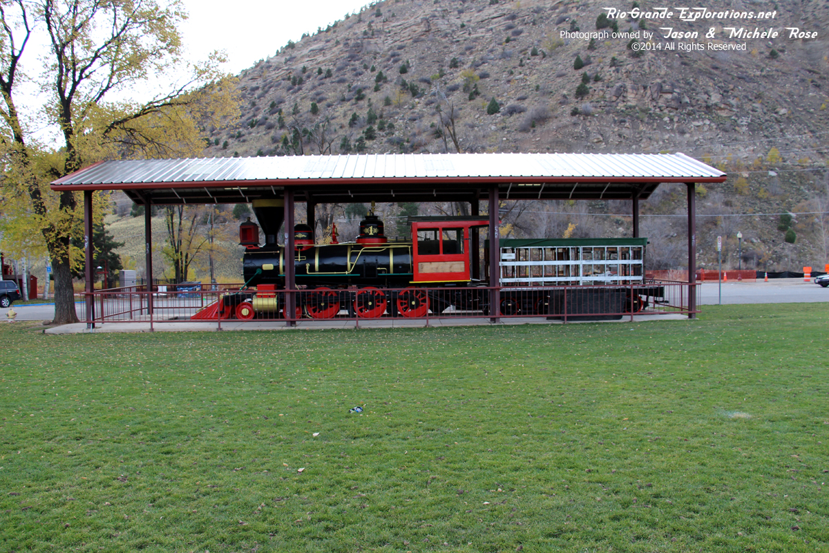
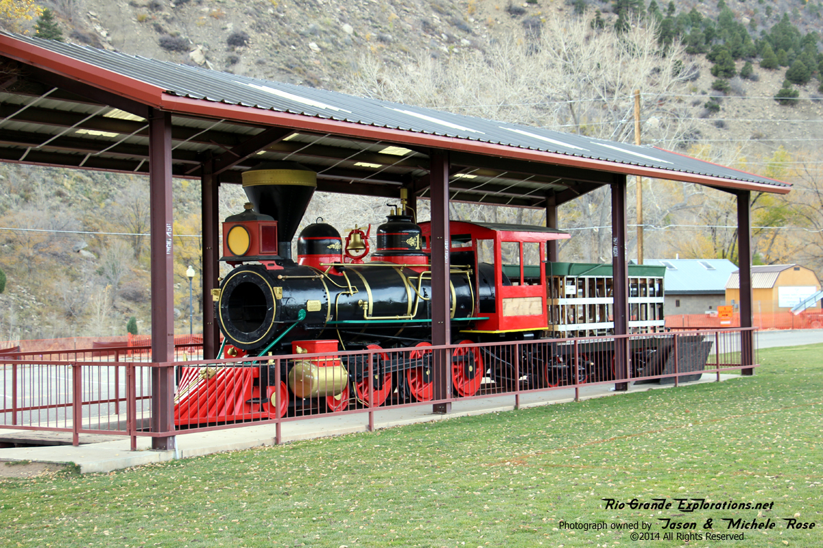
On my way to Farmington (for work the next morning), I stopped for a few shots of the Emma Sweeny before leaving Durango. As I walked up there was a young family checking out the engine and I heard the mother say with great skepticism, "I don't think this is real..." I walked over and explained what the Emma Sweeny was.
|
|
|
|
|
|
|
|
|
|
|
|
|
|
|
|
|
|
|
|
|
|
|
|
|
|
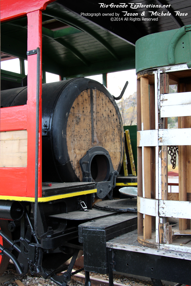
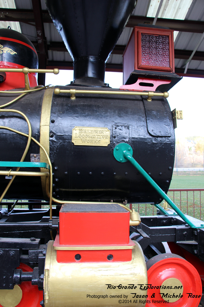
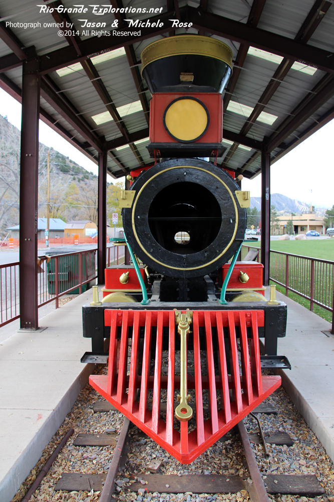
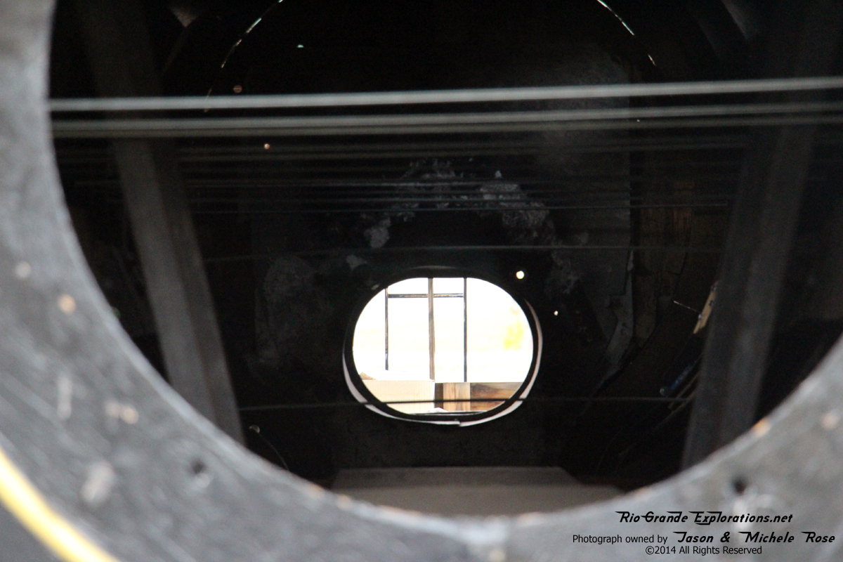
The smoke box door was stolen. As of this writing, it's been returned. No idea what the story is.
|
|
|
|
|
|
|
|
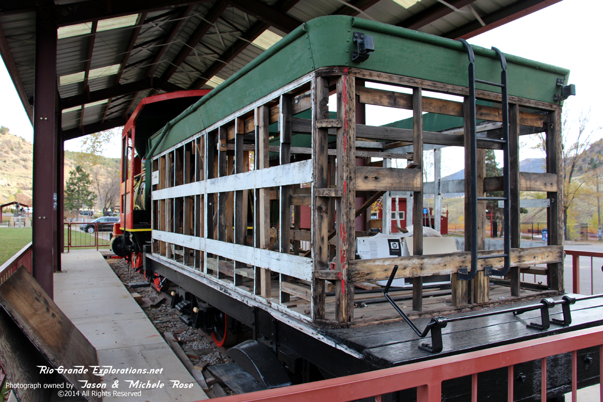
The DRHS guys have been very busy. The ol' gal looks great!
I crashed HARD when I got to the hotel. And, I limped for 3 days. But, it was worth it!
|