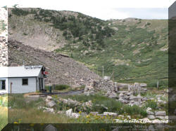
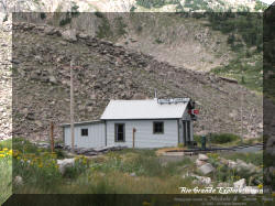
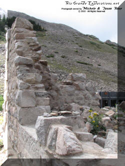
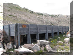
NG Circle Tour - 2010
August 21 - September 1
Trip Report
Day 6 - Thursday, August 26
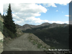
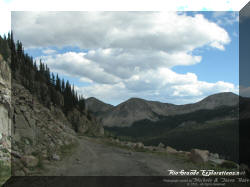
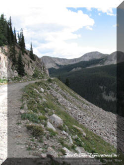
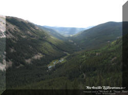
Telluride to Alpine Tunnel to Crested Butte
Telluride, Ridgway, Montrose, Cimarron, Gunnison, Pitkin, Alpine Tunnel, Crested Butte
|
I knew this day would be memorable... either tragically or with a deep sense of accomplishment. Fortunately, it was the latter!
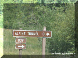
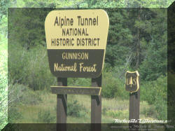
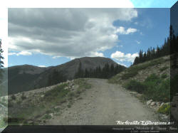
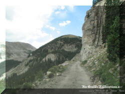
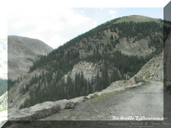
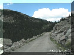
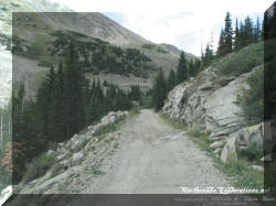
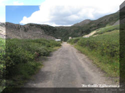
Around 0900 we departed Telluride / Mountain Village, bound for the famous Alpine Tunnel Historic District. As much as I would've liked to take more time and explore the area on the way to Gunnison, there simply wasn't enough time. So, while we did stop for a few photos, we basically rushed to get to Pitkin. I didn't know what lay ahead on the ascent to Alpine Tunnel and I wanted to give ol' Murphy as much time as possible in case he wanted to come out and play. |
|
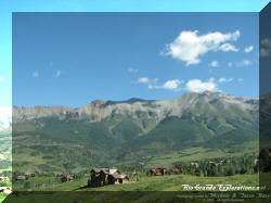
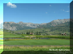
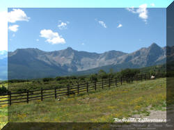
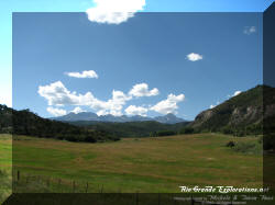
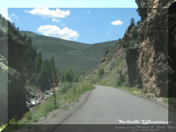
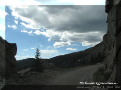
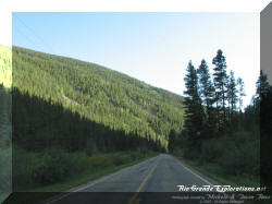
Departing Telluride and driving into the majestic Uncompahgre Mountains. |
||
|
|
|
|
|
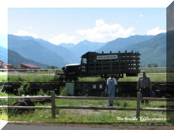
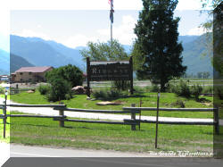
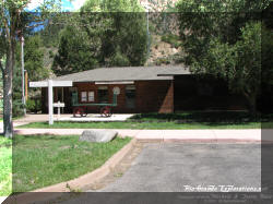
Driving back past the Ridgway Railroad Museum |
||
|
|
Near the end of the "broad gauge" in Montrose, CO |
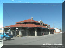
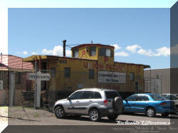
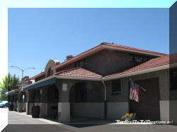
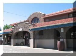
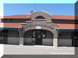
Montrose Depot |
|
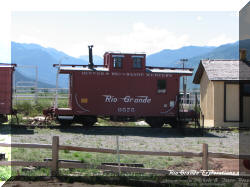
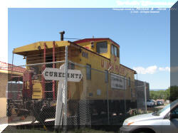
UP Caboose at Montrose Depot. *Note the "Curecanti" station sign from the Black Canyon line. |
|
|
|
|
|
|
|
Cimarron, CO |
Gee... something's missing... |
|
|
Cimarron Creek flowing into the Gunnison River |
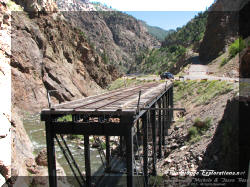
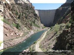
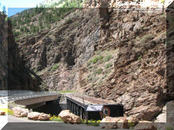
Morrow Point Dam |
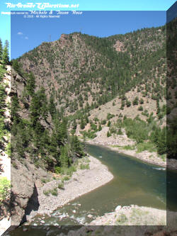
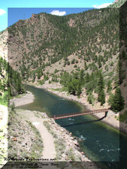
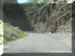
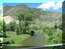
Gunnison River in the Back Canyon |
|
|
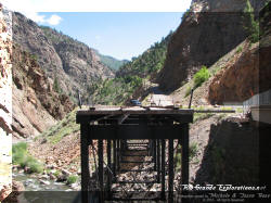
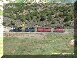
#278 and train were moved off of the bridge this past spring for cosmetic restoration. Their eventual fate has yet to be decided. |
Heading up the grade out of the Black Canyon into Cimarron. |
|
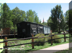
Cimarron Stock Car Exhibit |
||
|
|
|
Replica Depot |
|
|
#278 and train |
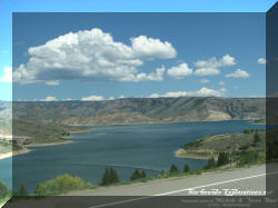
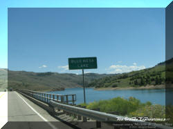
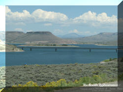
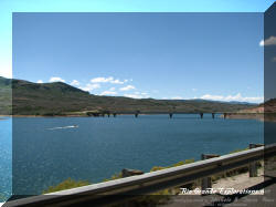
Blue Mesa Reservoir |
|
Blue Mesa is the largest lake in Colorado. It was built by damming the Gunnison River in the Black Canyon... and forever burying the Denver & Rio Grande Western's scenic right-of-way in the canyon. |
||
|
|
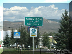
Gunnison, CO Elevation: 7,703 |
|
|
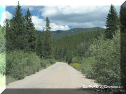
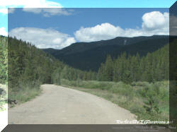
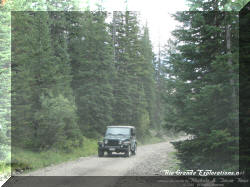
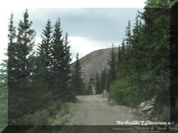
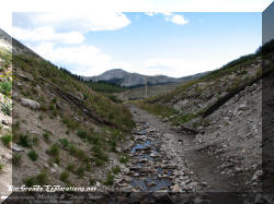
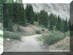
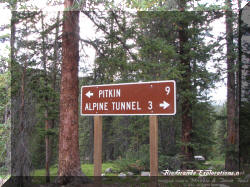
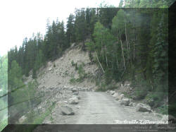
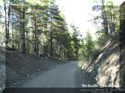
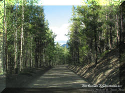
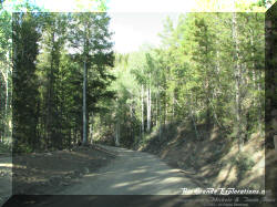
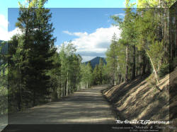
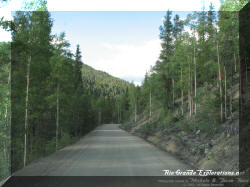
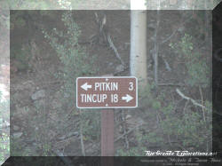
Immediately after leaving Pitkin (Elevation: 9,241), we also left the pavement... |
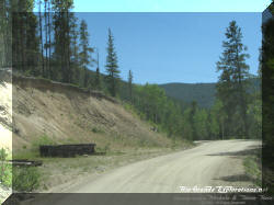
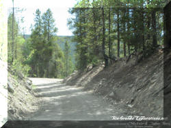
10 miles? Piece of cake. We'll be there in 20 minutes...
In reality, it took over 2 hours. |
|
|
Near the former town of Quartz. Elevation: 9,641 |
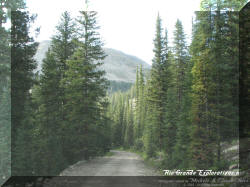
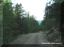
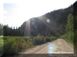
The road near Quartz is in great shape |
|
|
|
|
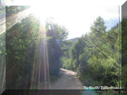
A hint of fall colors... |
|
Gold in August? |
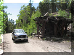
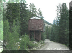
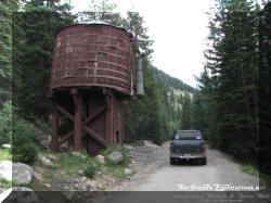
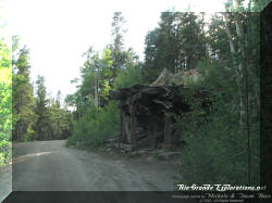
The remains of Midway Tank. Elevation: 10,225 |
|
|
|
|
|
|
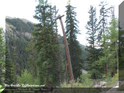
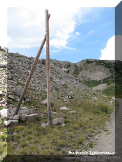
Old telegraph pole |
|
|
|
|
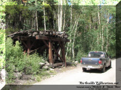
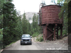
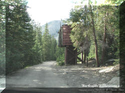
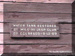
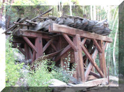
The restored Tunnel Gulch Tank. Elevation: 10,850 |
|
|
One of my favorite shots from this trip to NG Country |
|
|
|
Our first glimpse of the Palisades |
Near the former town of Woodstock Elevation: 10,900 |
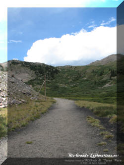
The partially rebuilt Sherrod Loop |
|
More shots of the Sherrod Loop. Elevation: 10,925 |
||
|
|
At this point the excitement really started to build. It was hard to believe I was actually driving up to the legendary Alpine Tunnel. |
|
|
|
|
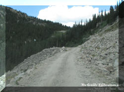
Here we go... |
|
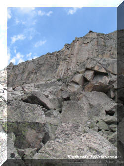
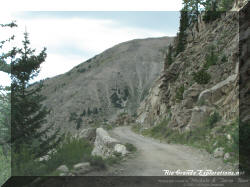
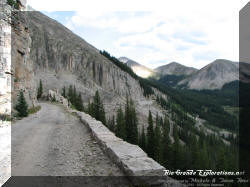
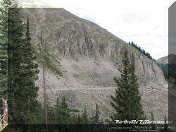
The Palisades! Elevation: 11,270 |
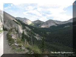
Somewhere in this area my jaw dropped and stayed that way.... |
|
|
|
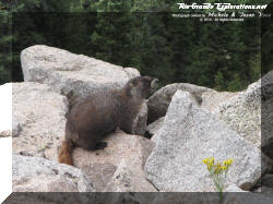
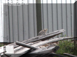
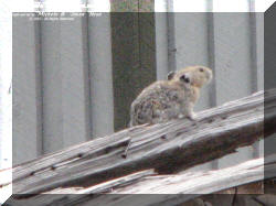
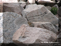
Marmot |
These are some of the coolest pictures I've ever taken! |
|
|
|
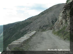
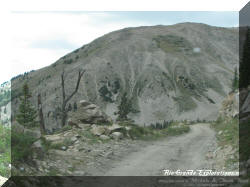
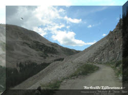
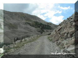
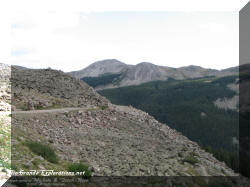
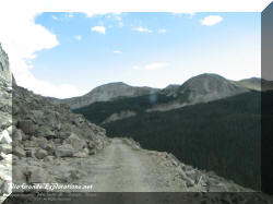
For a sea-level flatlander like me, this is extremely challenging terrain!! |
|
This one is for my buddy, Larry |
|
|
|
|
|
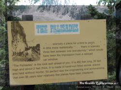
The Palisades is a hand-laid rock wall 450 feet long and 30 feet high. It was built in 1881 without mortar and is still standing and perfectly serviceable today. "They don't build 'em like they used to!" |
|
|
Fan-freakin-tastic!!! |
|
|
|
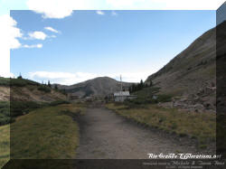
SUCCESS!!! We survived the trip up. Elevation: 11,460 For some perspective, our house in Spring, TX is 90 feet above sea level!! |
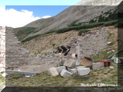
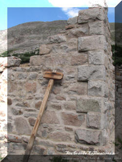
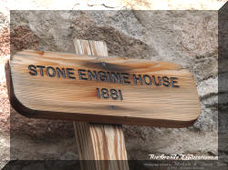
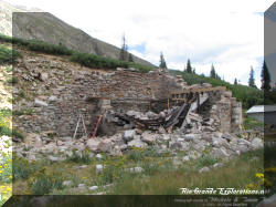
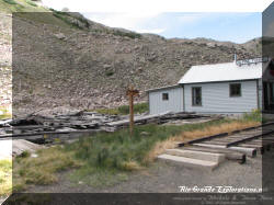
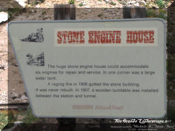
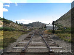
The remains of the stone Engine House |
|
|
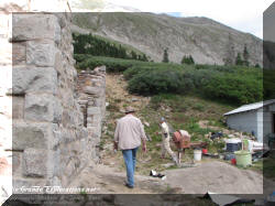
The Forest Service employs a gentleman to repair/restore as much of the Engine House as is possible. Much of the stone was re-used elsewhere after the 1906 fire that destroyed the structure. This guy even lives up there for weeks at a time. It's hard to imagine a more lonely and isolated spot in this country. It must incredible up there at night with the ghosts of old railroaders keeping you company! |
|
|
|
|
|
|
The Depot |
Window frame on the south wall of the Engine House. This portion of the structure is now finished. |
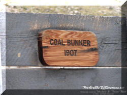
Rebuilt Coal Dock |
|
|
|
|
|
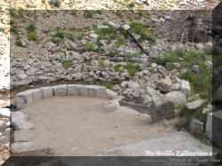
The turntable base inside the Engine House. There was also a water tank inside the structure. |
|
|
|
|
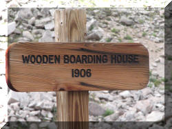
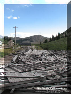
Remains of the wooden Boarding House next to the Depot |
|
|
|
|
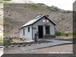
The Depot |
|
Rebuilt portion of track near the Depot |
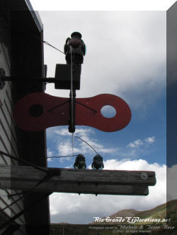
Restored Telegraph Poles |
|
|
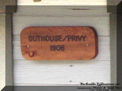
Outhouse - I bet it's COLD in there in the winter.... |
Local Resident |
|
|
|
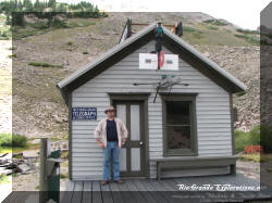
Me at the Depot |
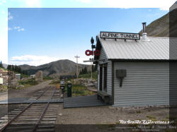
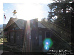
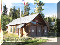
Front of the Depot. The Forest Service has done a fantastic job with this restoration. |
|
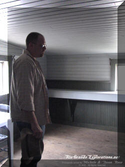
That look of awe on my face is genuine! I couldn't believe I was actually standing in the Depot at Alpine Tunnel. |
Remains of the Boarding House, looking south from the Depot. |
|
|
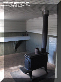
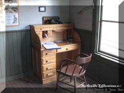
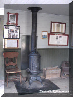
Inside the Depot |
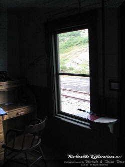
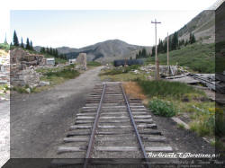
Looking out the window of the Depot. There's not much here to give away what century this is! |
|
|
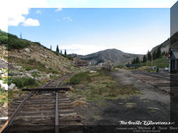
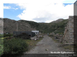
Looking south from the Depot. The Boarding House remains are on the right and the remains of the stone Engine House are on the left. |
Looking north from the Depot towards the remains of the tunnel. |
Looking south from the Depot. |
|
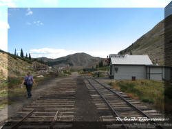
Michele hiking past the Depot, heading up the grade to the tunnel |
|
Looking south at the end-of-track towards the Depot & Engine House. |
|
The grade curves around to the west on the approach to the tunnel |
Another local resident. |
I love the restored telegraph poles! |
|
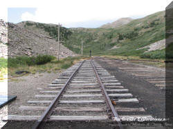
Looking towards the tunnel. The turntable pit is on the left. |
Another water tank was once located here across from the turntable, about halfway between the Depot and the tunnel. This tank was moved by the DSP&P and still stands today as Baker Tank on Boreas Pass. |
|
|
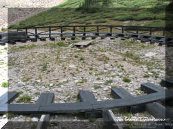
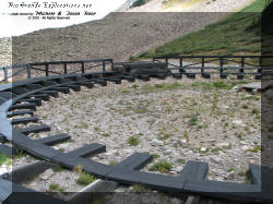
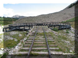
The partially rebuilt turntable. This turntable was moved from St. Elmo in 1899. |
||
|
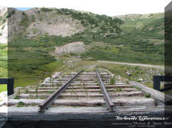
The rebuilt track lead to the turntable. |
An original switch tie still in the ground 100 YEARS after the last train passed through this area. |
|
|
Looking south towards the Depot, the turntable and lead are on the right. The base of the water tank is to the left of the grade. |
The tunnel at last...
... and, in case you don't know... the air is very thin at 11,500 feet! |
|
|
|
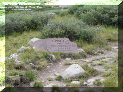
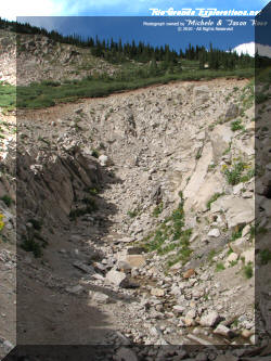
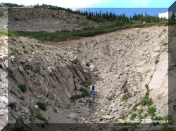
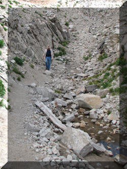
The tunnel portal has slowly been buried by sliding debris over the last 100 years. I've heard rumors about long-term plans to re-open it. |
|
|
The last train passed through here in November 1910, a century ago. |
Looking south towards the Depot from the edge of the collapsed west portal of Alpine Tunnel |
|
|
|
A last look back at the Engine House and Depot area... |
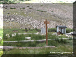
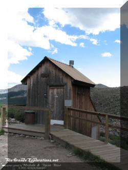
The "outhouse" near the parking lot... |
|
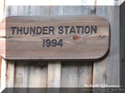
... with the clever name of "Thunder Station" |
Heading back to the truck Michele half-heartedly asked me if there was a faster way back down. I said something like, "Not without wings" |
|
|
|
Heading down... |
|
|
|
|
The Palisades |
|
|
|
|
|
|
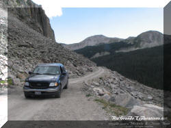
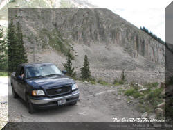
Our truck on the Palisades. |
|
|
|
Another look at the Sherrod Loop |
The Palisades as seen from near the former town of Woodstock. |
|
|
Tunnel Gulch Water Tank |
|
|
|
|
|
|
|
|
Midway Tank |
|
|
We made great time going down, mostly because now I knew what my truck could comfortably handle. |
|
|
|
|
|
|
|
|
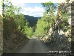
A nice size cut |
|
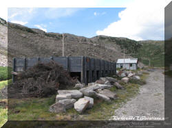
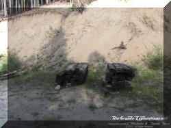
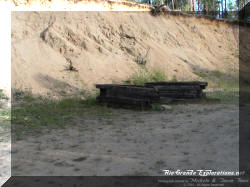
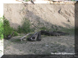
Tie piles from the re-construction at Sherrod Loop and Alpine Tunnel |
||
|
I have been told by a few veterans of mountain driving, that Michele and I are no longer sea-level flatlanders. I don't know what our "rank" is now, but I'm MUCH more confident driving along the back roads of the high country after the climb up to Alpine Tunnel. |
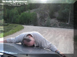
An hour after leaving the summit we were at the bottom of the grade near Quartz. I got out and hugged the truck for getting us up and down safely. Michele was greatly amused. |
|
|
Heading south on the old grade back to Pitkin. |
Pitkin |
|
|
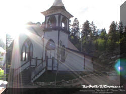
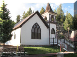
Church in Pitkin |
VFD in Pitkin |
|
|
VFD in Pitkin |
|
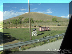
Outfit Car east of Gunnison |
|
|
We concluded our day in Crested Butte. |
|
