RGX 2011 - Trip Report
September 16 - September 26
Day 5 - Tuesday, September 20
Leadville - Breckenridge - Como - Phantom Canyon - Cańon City - Salida - Alamosa
|
If I remember correctly, we actually got some sleep the night before Day 5. So, just after dawn we loaded up and moved out, bidding farewell to Leadville.
[Re-cue the Indiana Jones soundtrack]
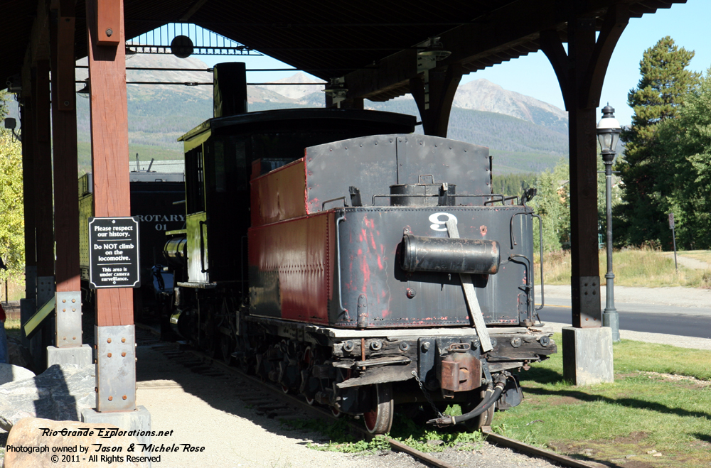
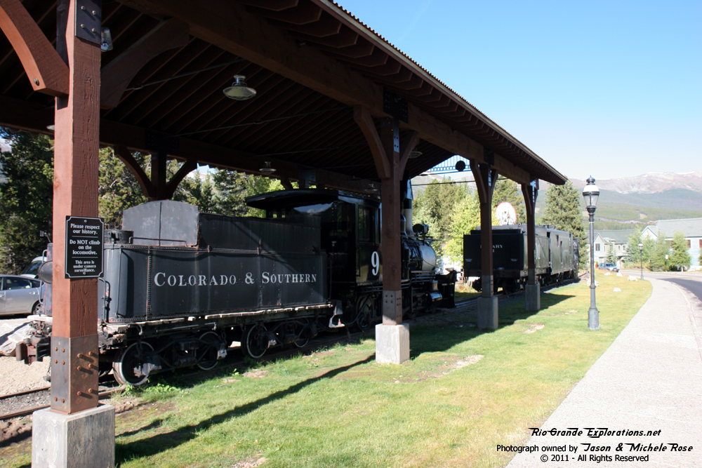
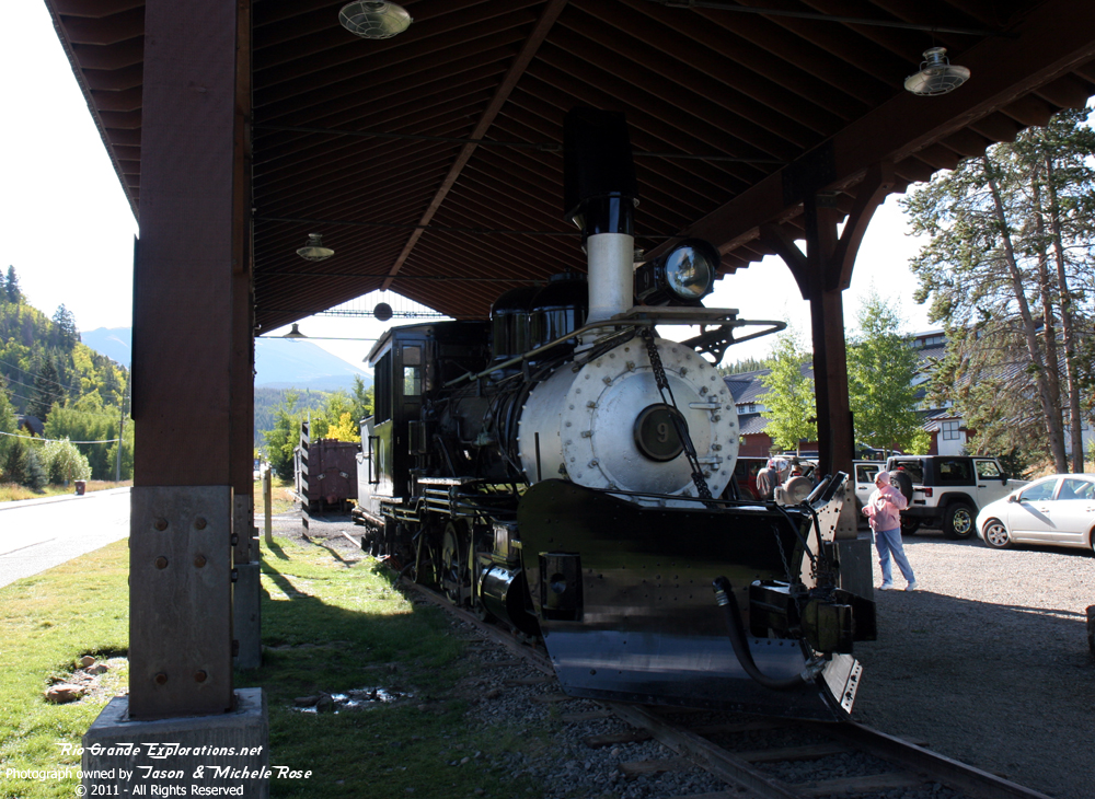
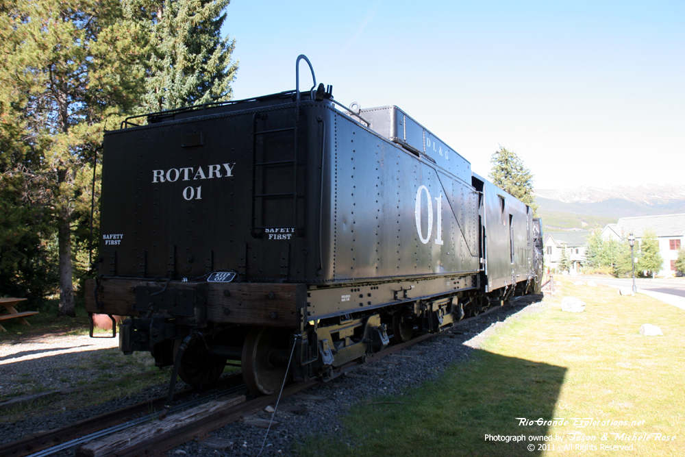
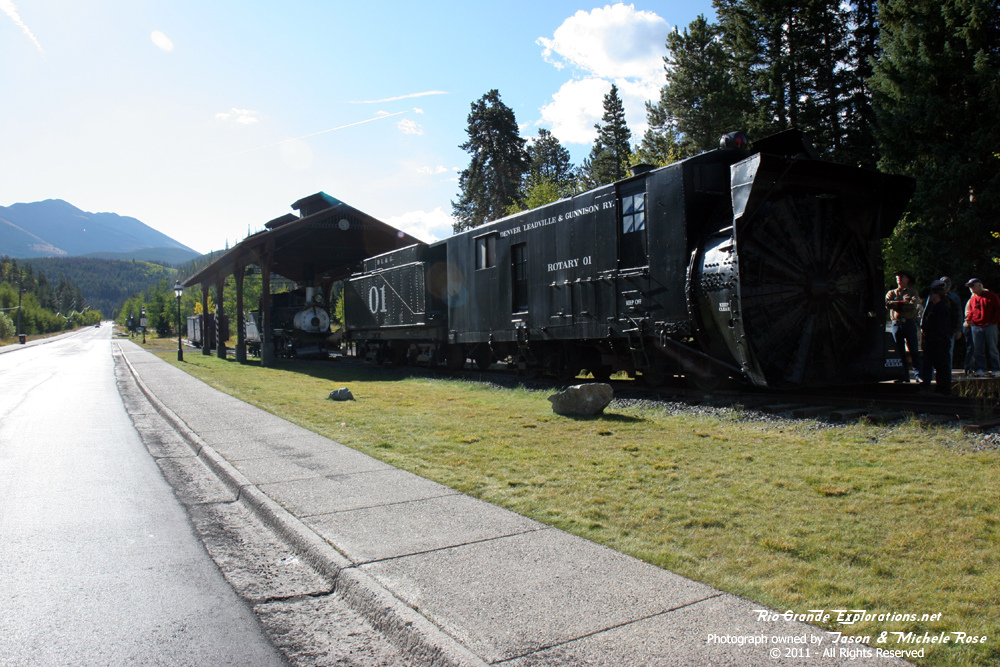
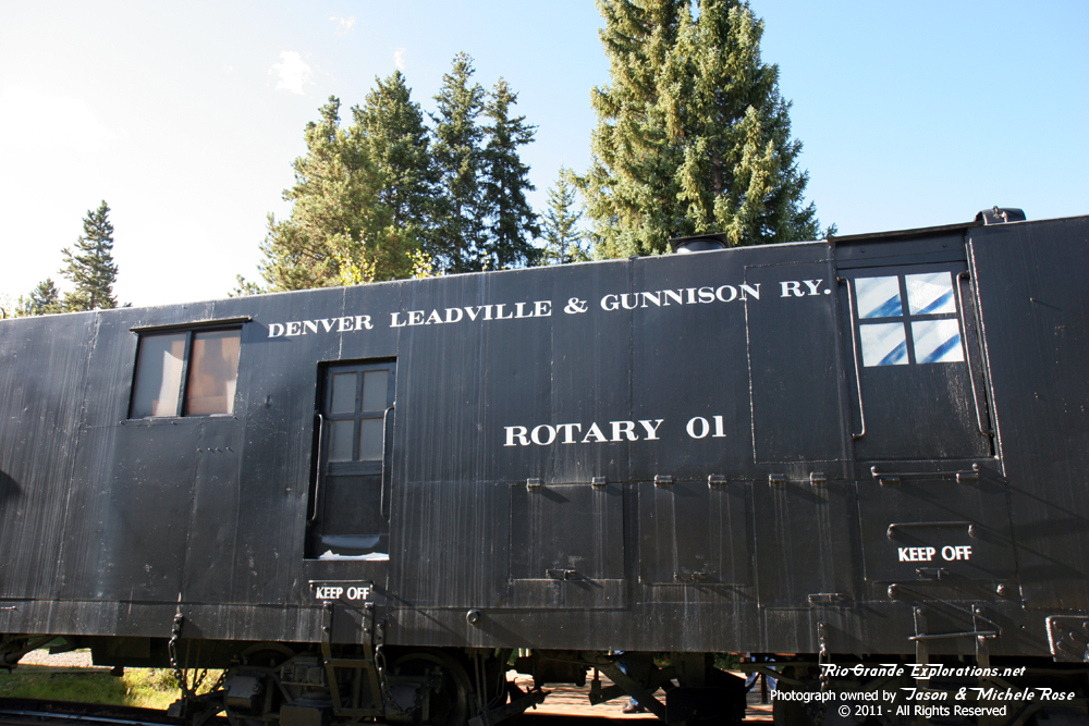
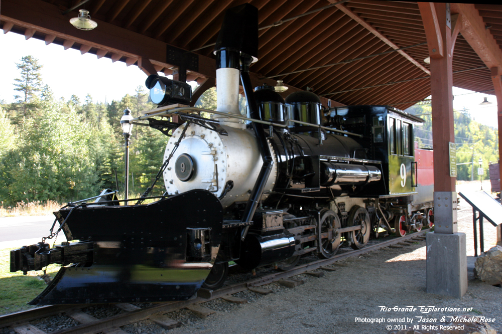
Our route took us north towards Climax and Kokomo on Highway 91. After a short run on I-70 we turned south and made our way to Breckenridge. A quick stop at Starbucks in Breckenridge provided some much needed fuel for what was to come. Just down the street from Starbucks we made a quick turn and found C&S #9 and DL&G Rotary #1. Well worth the extra mileage to get there! The last time we saw #9 she was under steam on the Georgetown Loop.
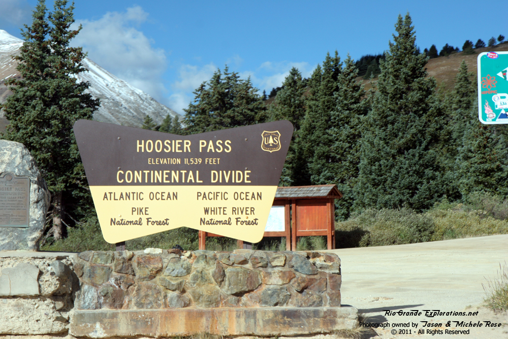
I wanted to go over Boreas Pass, but screwed up. Next thing I knew we were heading up Hoosier Pass. Time was too limited to correct our course, so I just went with it. This meant that side-trips to Kenosha Pass, Webster, and Jefferson would also need to be skipped. Oh well, I need to go back and explore that whole area in depth and now I have a place to start!
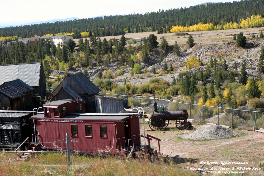
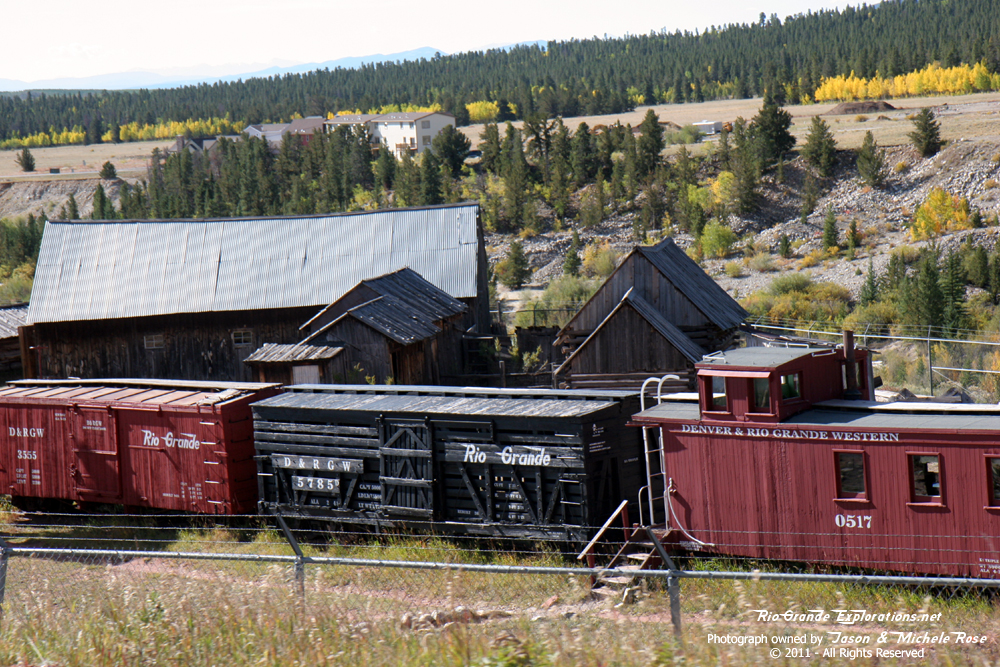
Descending Hoosier Pass we stumbled upon the museum at Fairplay. There's a good selection of DRGW rolling stock there and a Porter 2-6-0 from Guatemala that is a close approximation of a C&S Mogul.
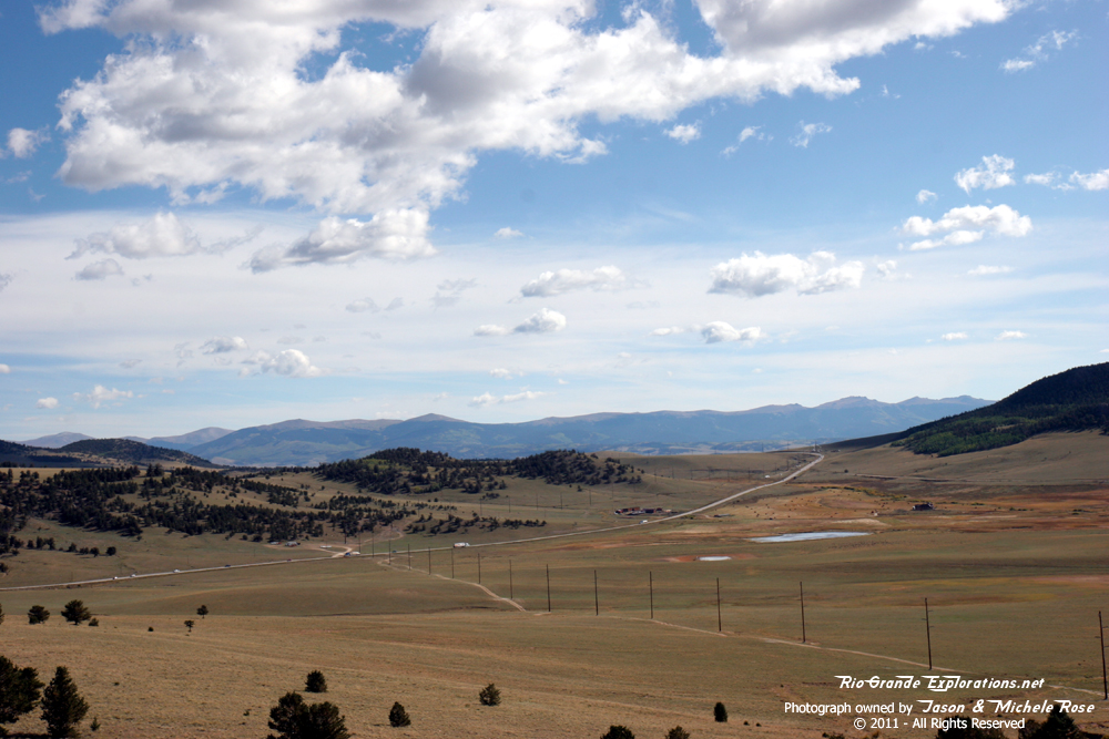
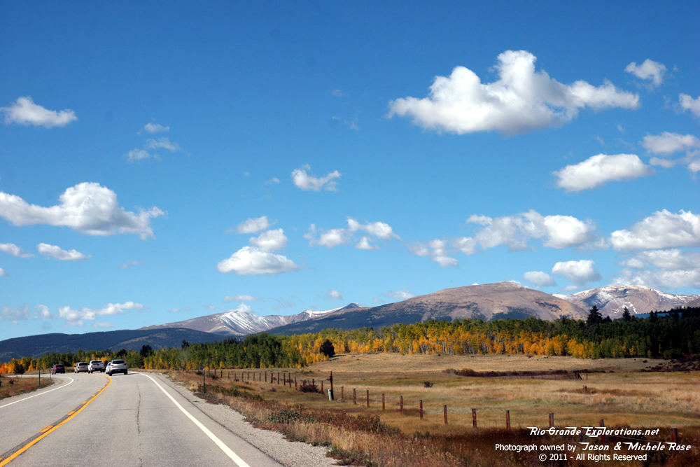
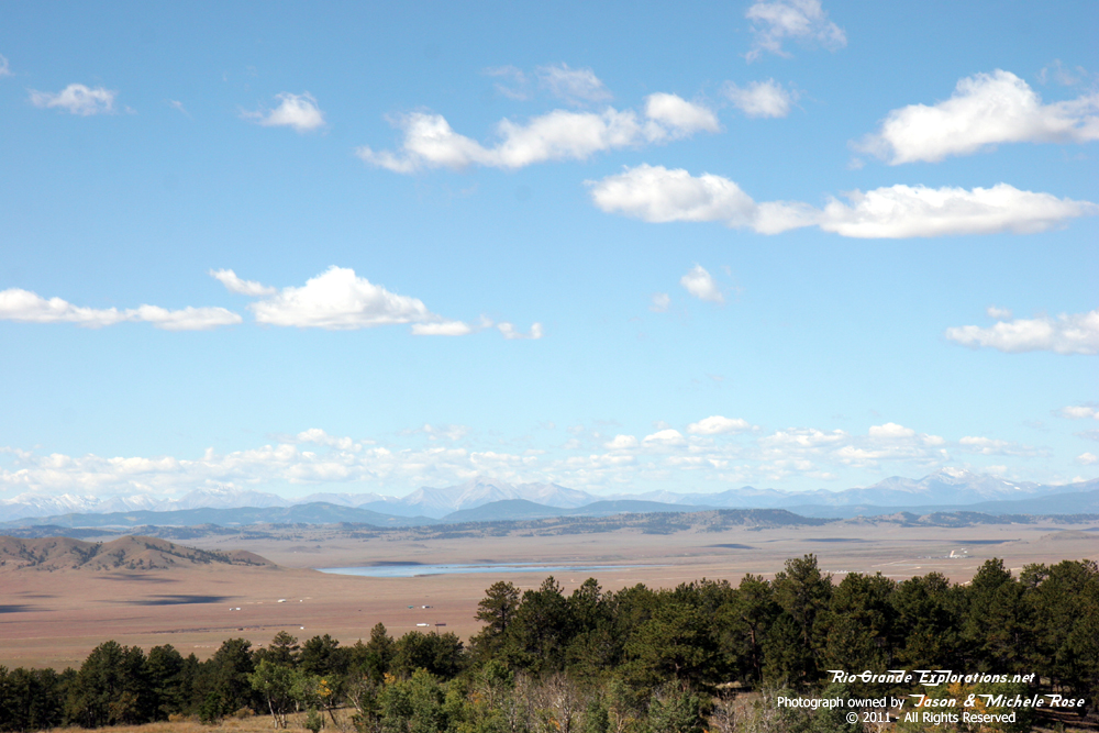
Leaving Fairplay, we back-tracked north to Como, our first big objective of the day. Truly a fantastic place! Next, we highballed at 85 MPH across the South Park towards Divide with a brief stop in Hartsel to check out the Colorado Midland freight depot. The South Park is vast, no doubt about it. But, it's also quite pretty. We really need to spend some time exploring this area, and the abandoned grades, someday.
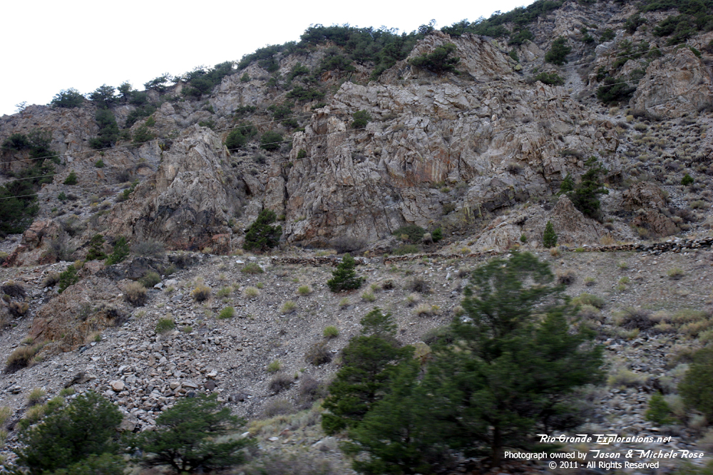
At Divide, we turned south and swung around east of Cripple Creek, intersecting the road to Phantom Canyon on the south side of Victor. Remnants of the area's mining and railroad history were everywhere we looked. We both wanted to explore Cripple Creek, but there just wasn't time. Our second main objective for the day was Phantom Canyon, and we didn't have a solid feel for just how long it would take to traverse. Michele wanted to see it on our first trip in 2006, but (as usual) there wasn't time. However, it was well worth the five year wait. Truly spectacular!
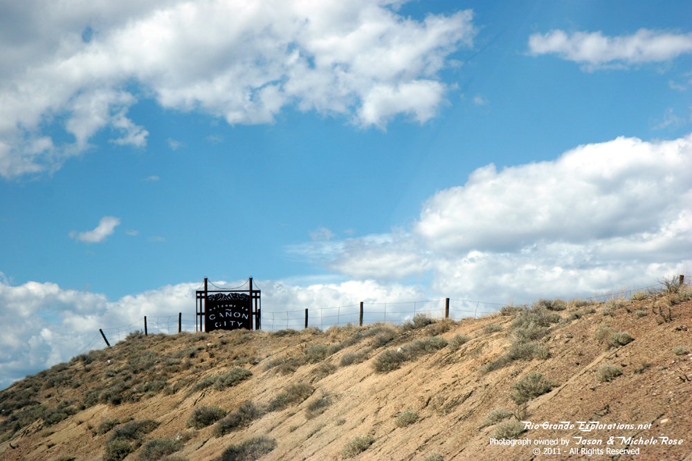
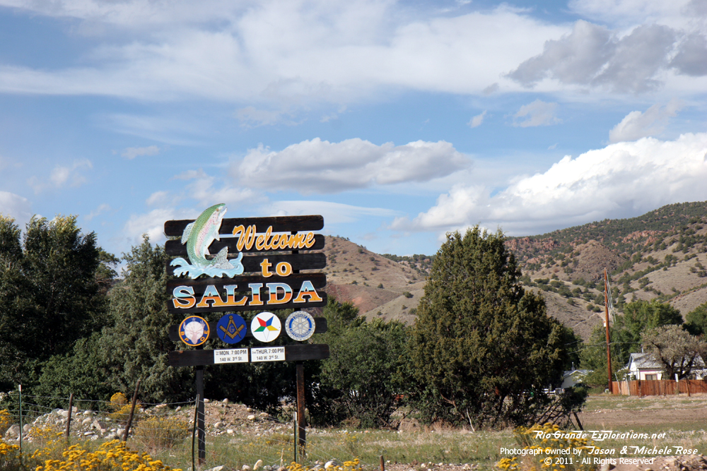
Leaving Phantom Canyon, we highballed west on I-50 towards Cańon City. Once there we quickly grabbed some lunch, got a few shots at the Cańon City & Royal Gorge depot, made a cursory stop at the Royal Gorge bridge, and raced west along the Arkansas River to Salida. We blew right through Salida, hung a left at Poncha Jct (where we passed through 46 hours earlier) and ran south past Mears Jct, over Poncha Pass, and down into the San Luis Valley. Quick stops were made at the remains of Round Hill Tank and Villa Grove Tank. We saw a gnarly dirt-devil / mini-tornado south of Highway 17, in the direction of the Great Sand Dunes. For the final 10 miles into Alamosa a Sheriff was behind me and I had to let off the gas. Slowing down to the speed limit after cruising at 80+ all day (except for Phantom Canyon) was a real drag.
The shadows were getting long and we were getting TIRED when we pulled into Alamosa, got a few photos of D&RGW #168, and found our hotel. As fortune would have it, my father and his wife were staying in South Fork for a few nights on their way north to Glenwood Springs. So, they drove over to Alamosa and we had dinner for my birthday (which was the following week). It's always a bit surreal seeing them up there in Narrow Gauge Country.
It was a good day and we saw a SIZEABLE chunk of Colorado including Fremont Pass, Hoosier Pass, Wilkerson Pass, Phantom Canyon, and Poncha Pass.
Am I nuts?
Hell yes. Please let me know if you find mistakes - RioGrandeDude @ SmittysHouse.net
|
||
|
|
|
|
|
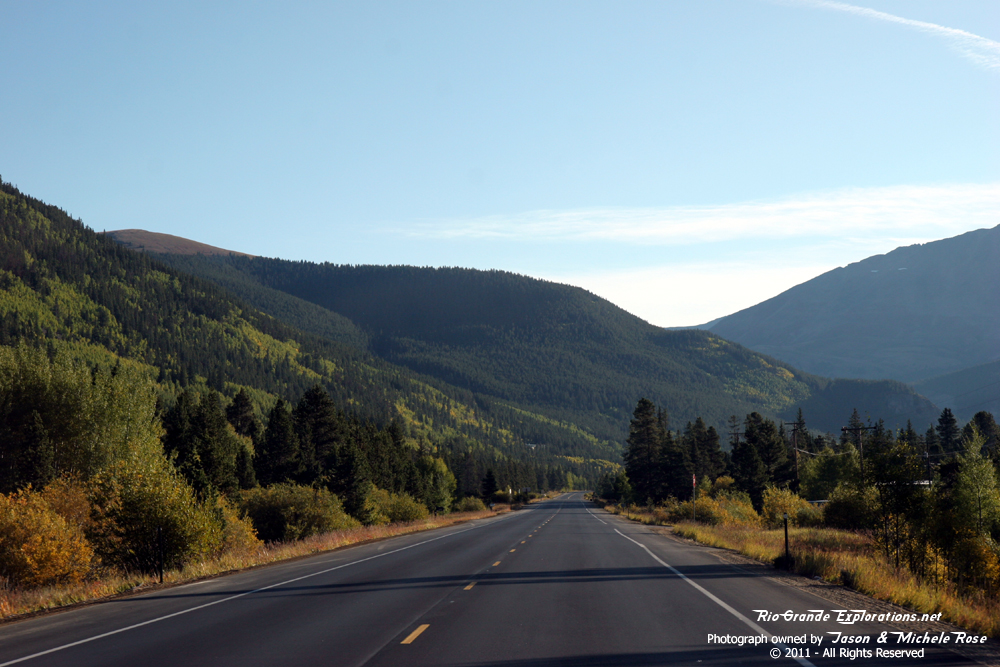
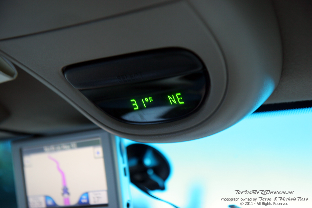
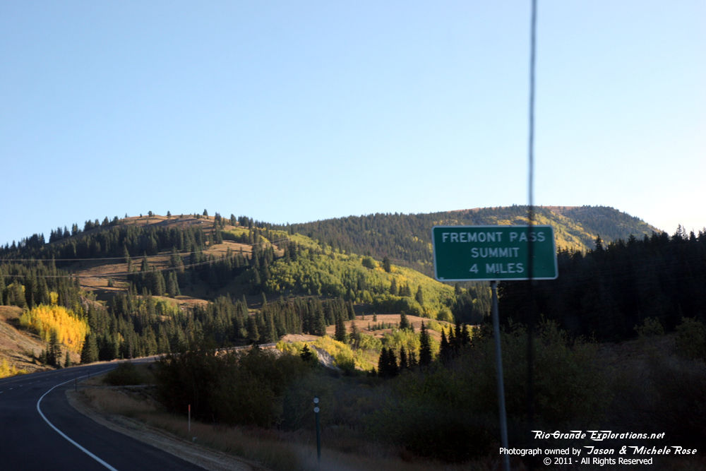
Leaving Leadville it was pretty chilly. The thermometer in the truck got down to 27 in the shadows of the valley heading towards Fremont Pass, but that photo was a blurry mess. |
||
|
|
|
|
|
|
|
|
|
|
|
|
|
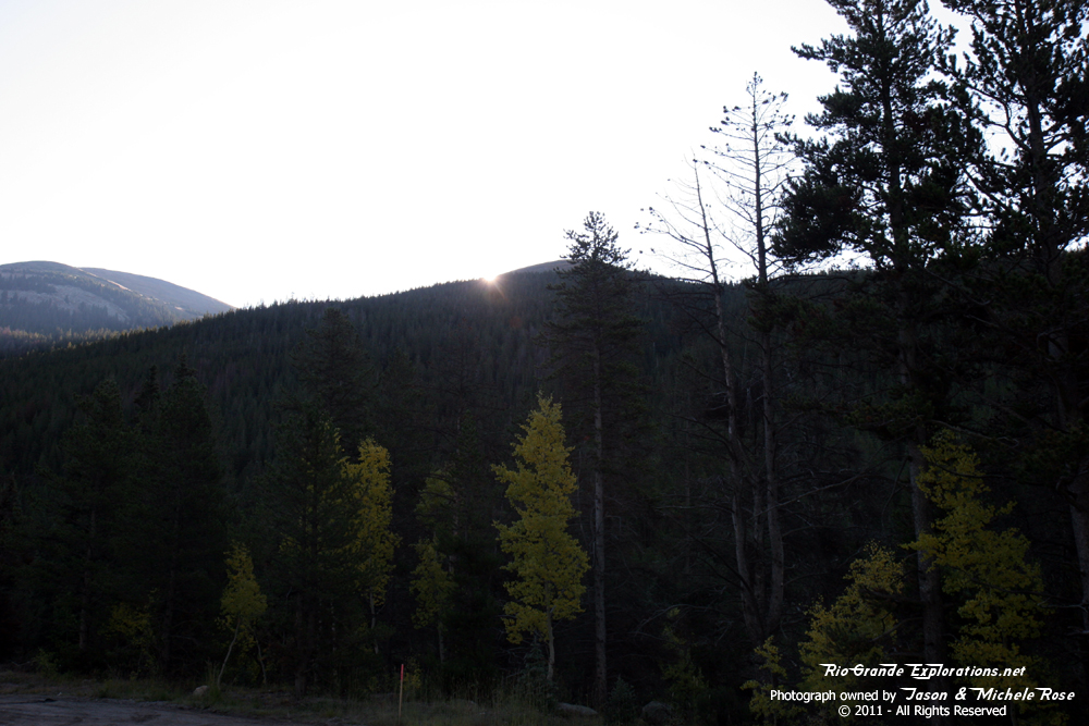
Sunrise over the mountains near Fremont Pass |
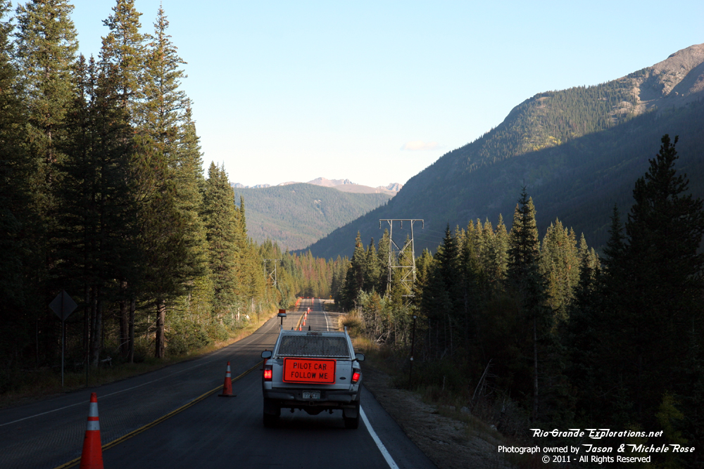
Construction! |
|
|
|
|
|
|
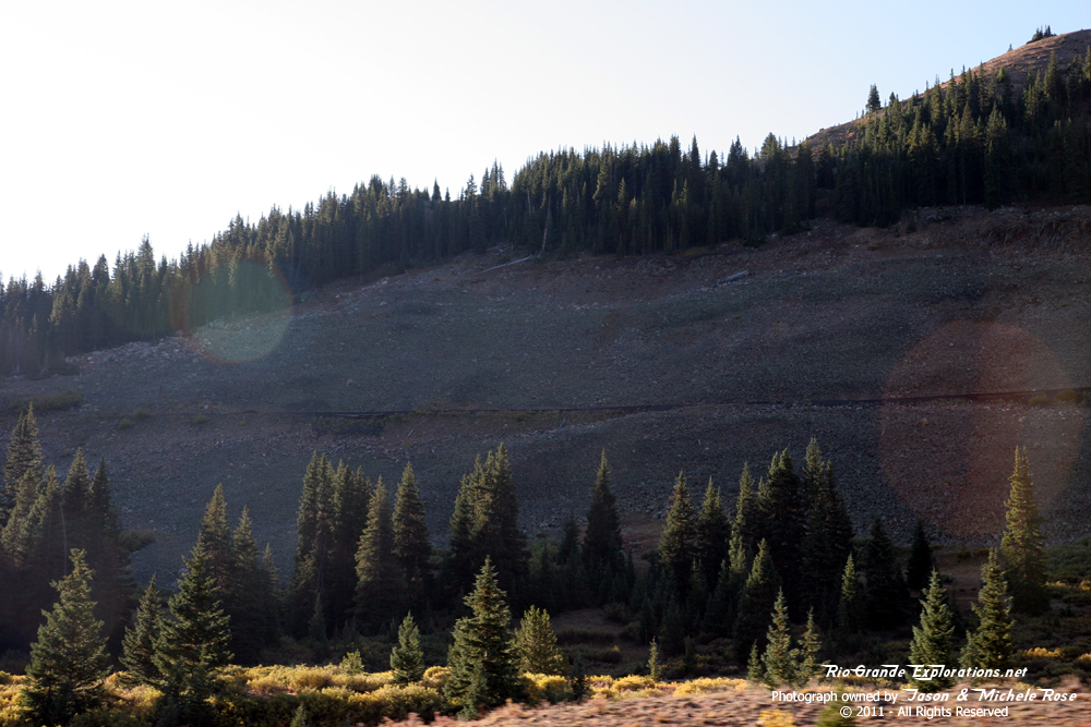
You can see the DSP&P grade here. |
|
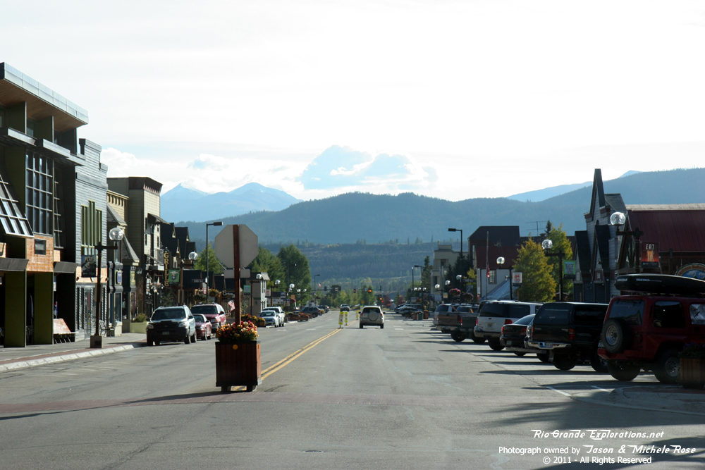
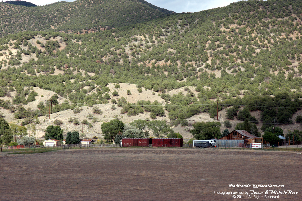
Frisco |
|
|
|
|
|
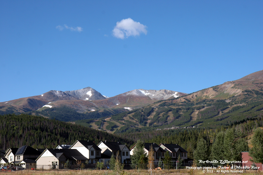
Breckenridge ski slopes |
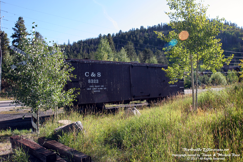
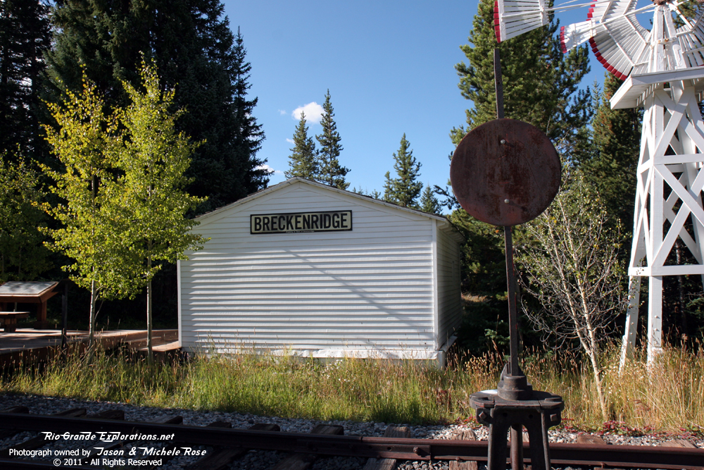
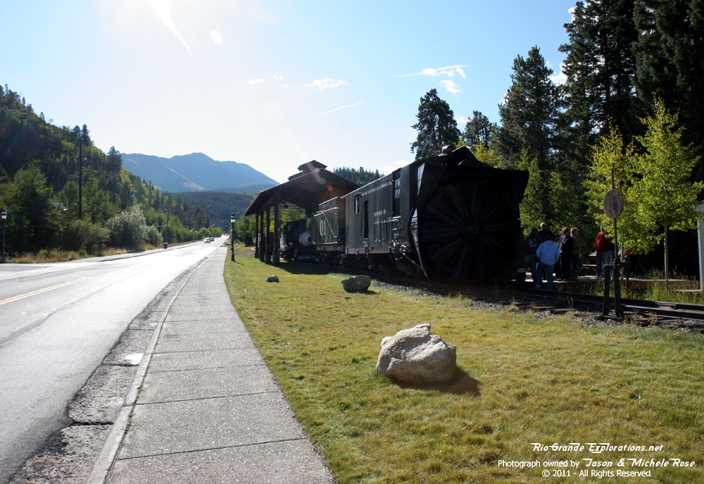
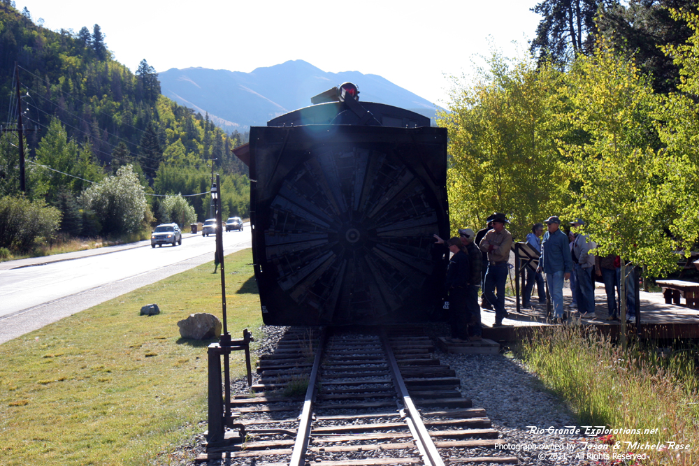
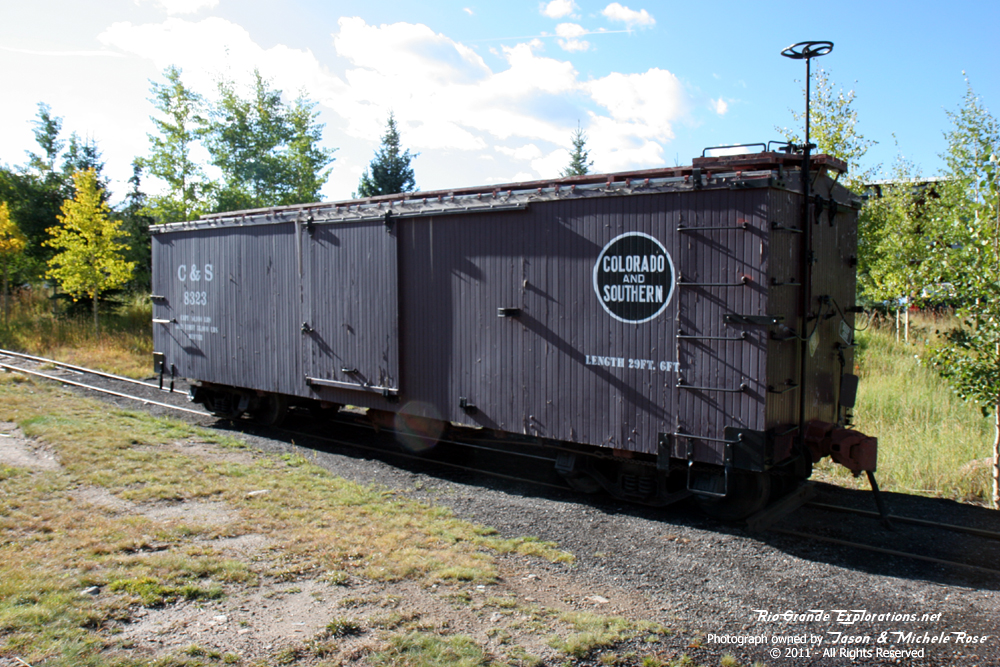
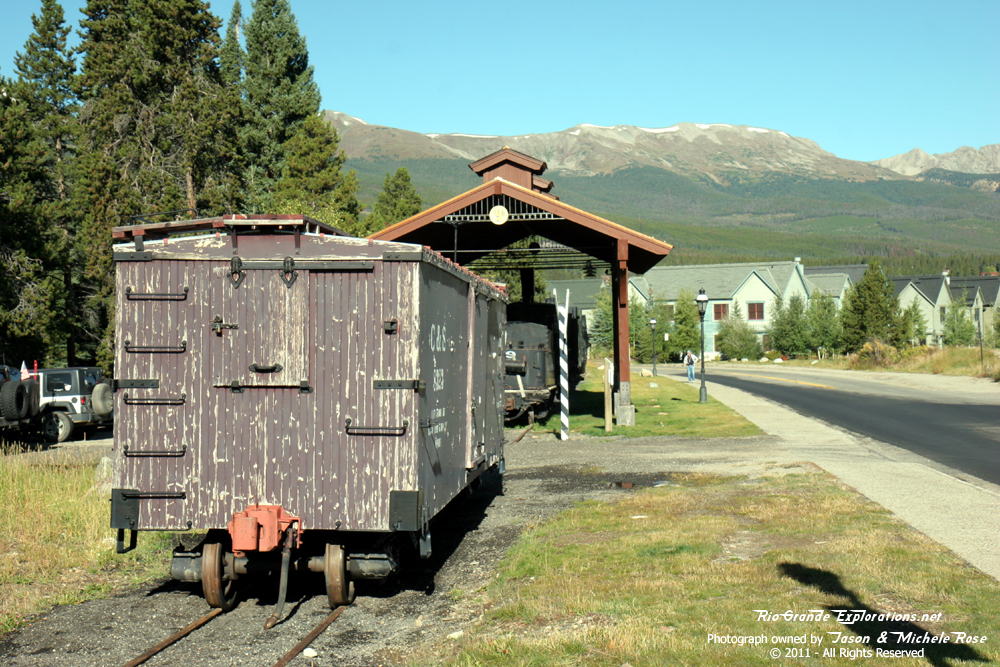
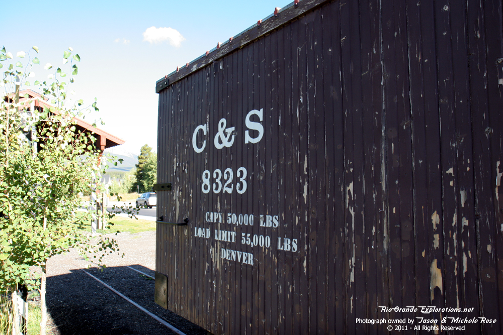
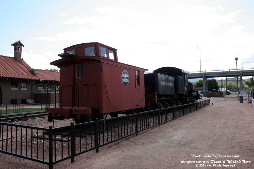
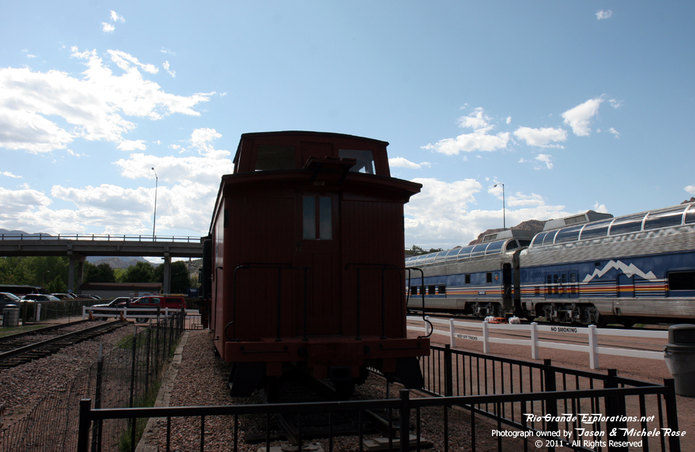
The C&S display south of Breckenridge. |
|
|
|
|
|
|
|
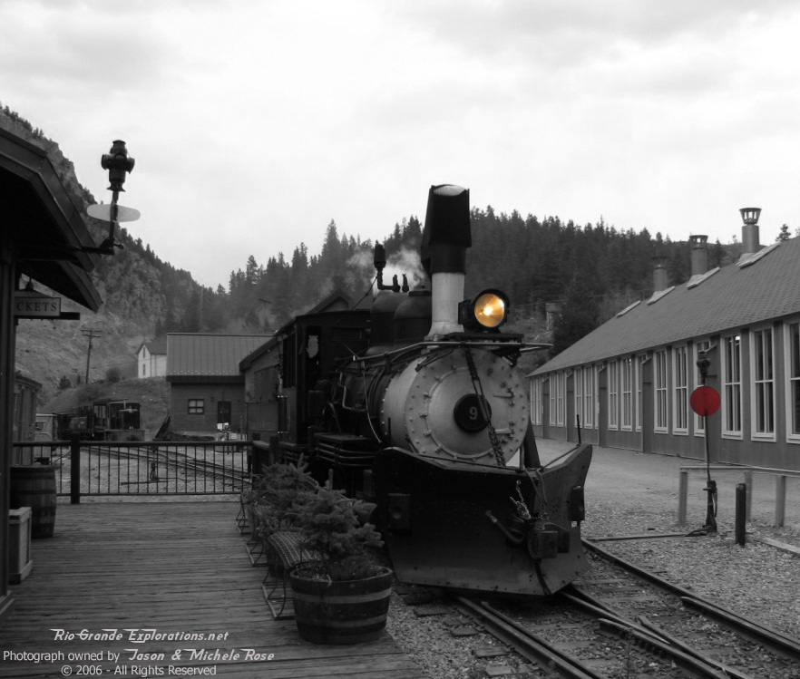
C&S #9 sure looks good! |
|
|
|
|
|
|
|
|
|
|
|
|
|
|
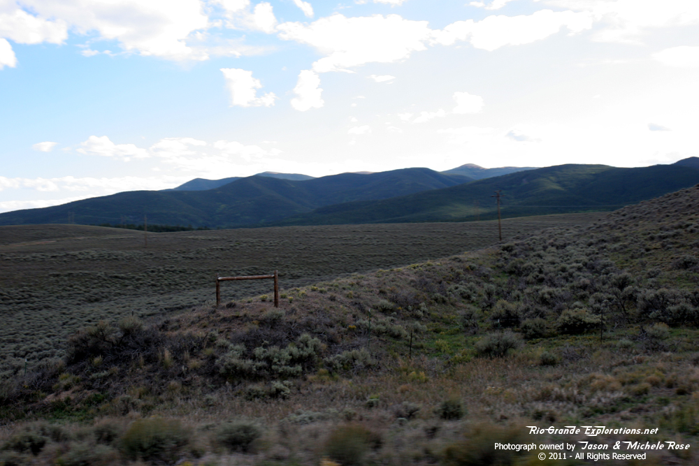
The road on the far left goes over Boreas Pass to Como. I didn't know that until it was too late and we were heading up Hoosier Pass. Oh well, we'll just have to go back! |
|
|
|
|
|
|
|
This is a far better display than I was anticipating, a very pleasant surprise. |
||
|
|
|
|
|
|
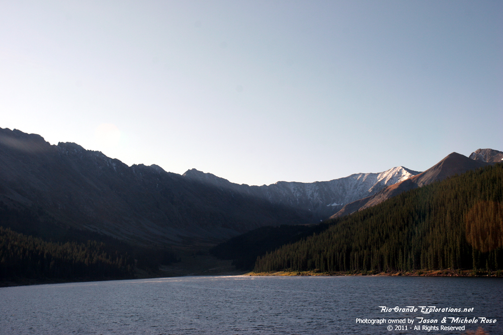
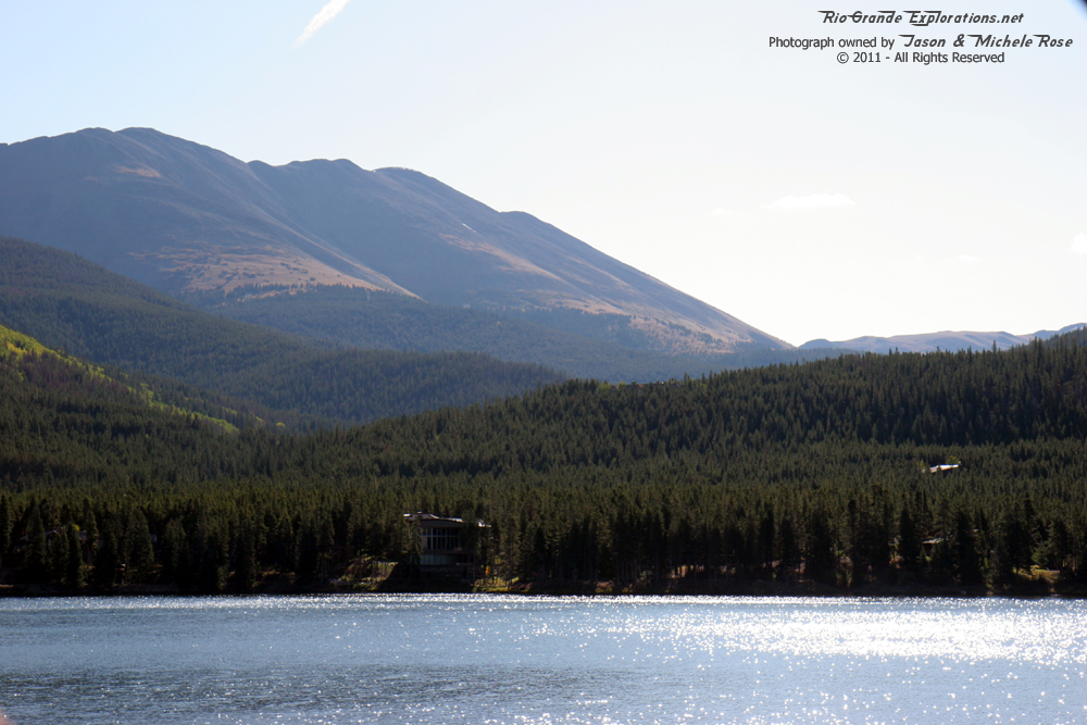
"Goose Pasture Tarn" |
Hoosier Pass |
|
|
|
|
|
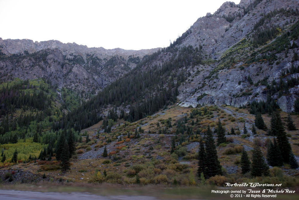
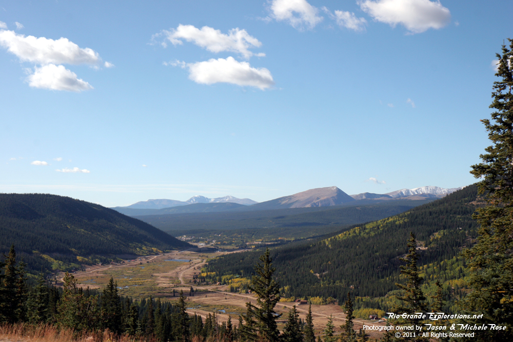
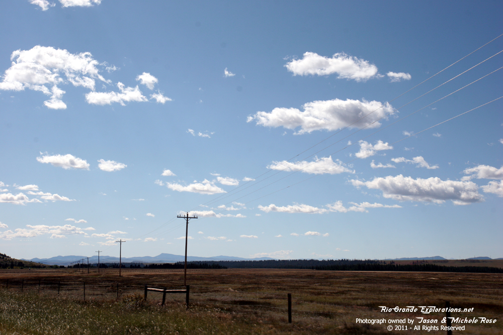
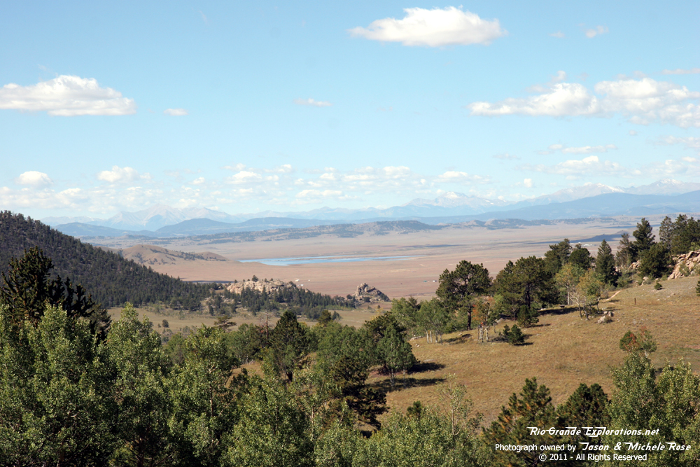
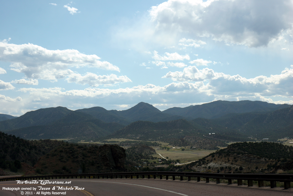
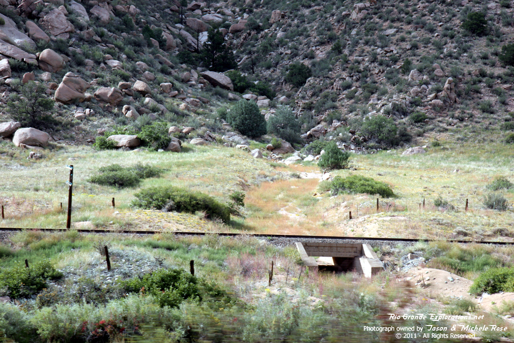
Dropping into the great South Park for the first time. |
||
|
|
|
|
|
|
A surprise at Fairplay |
|
|
|
|
|
|
The museum is called South Park City. The rolling stock is Rio Grande. The locomotive is a Porter 2-6-0 similar in design to a DSP&P / C&S locomotive, but it came from a fruit farm is Guatemala. My thanks to Dick Ickenberry for the information. |
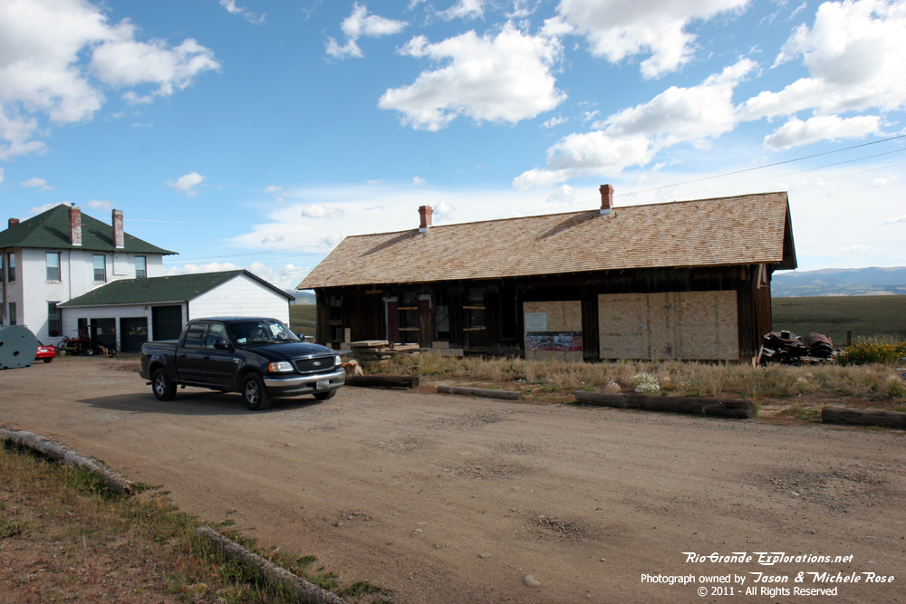
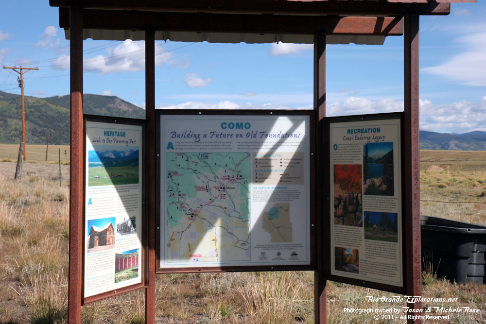
Leaving Fairplay, we back-tracked north towards the heart of the South Park and our first objective of the day: Como. |
|
|
|
|
|
|
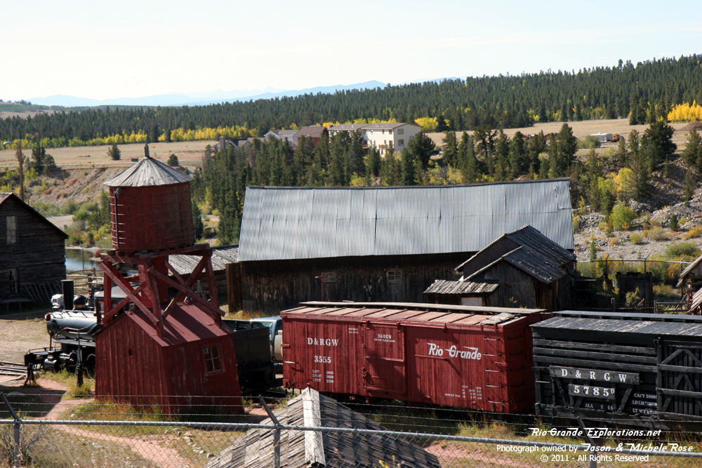
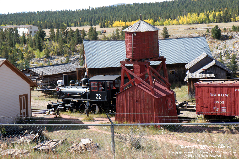
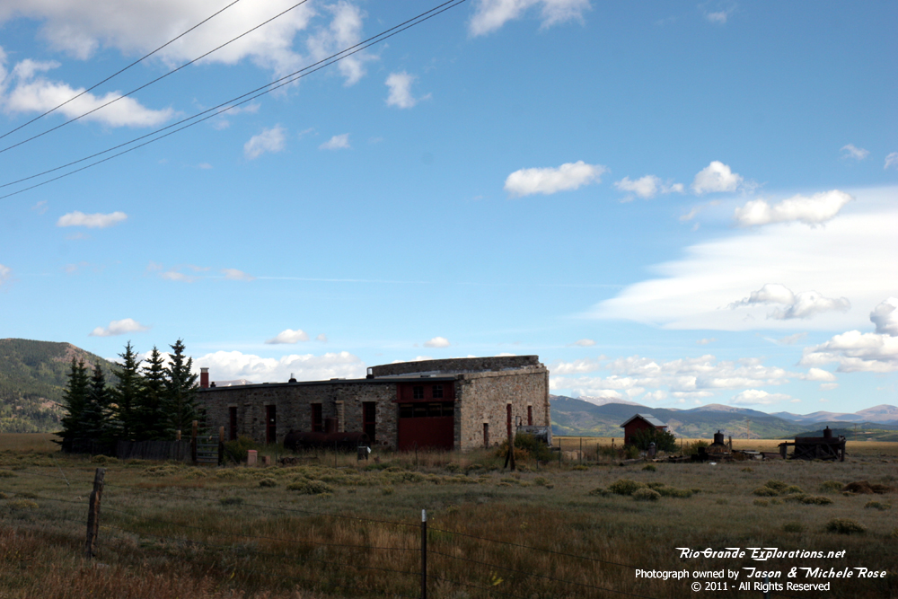
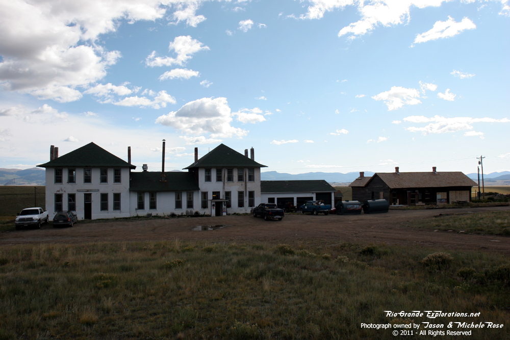
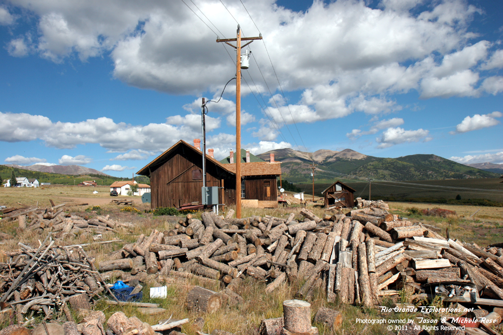
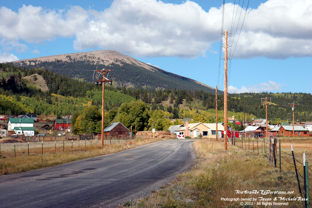
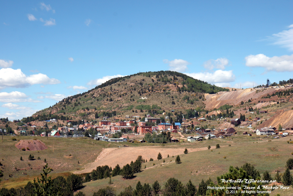
Another dream realized. I was standing in Como!! |
||
|
|
|
|
|
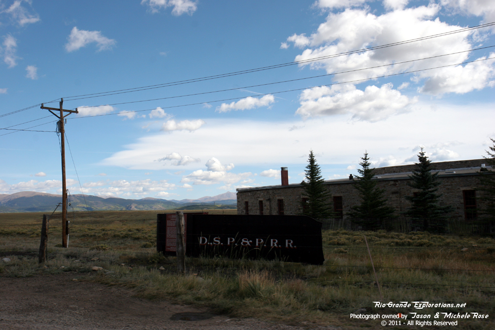
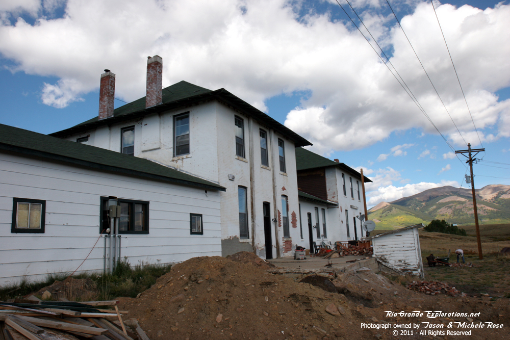
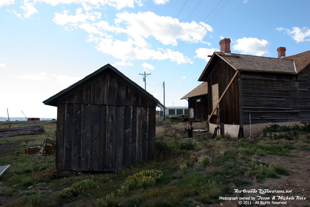
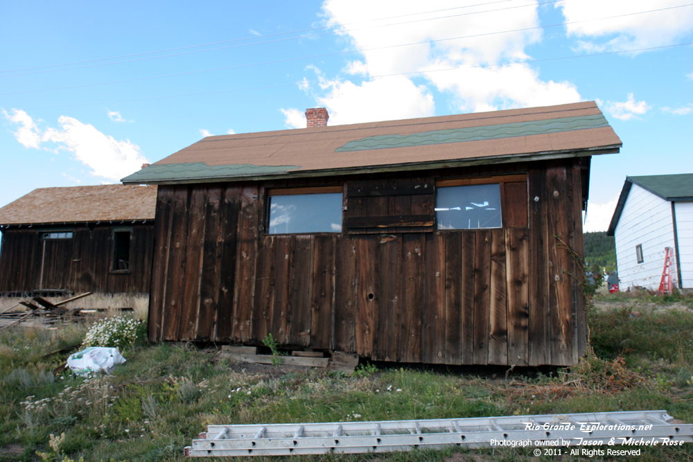
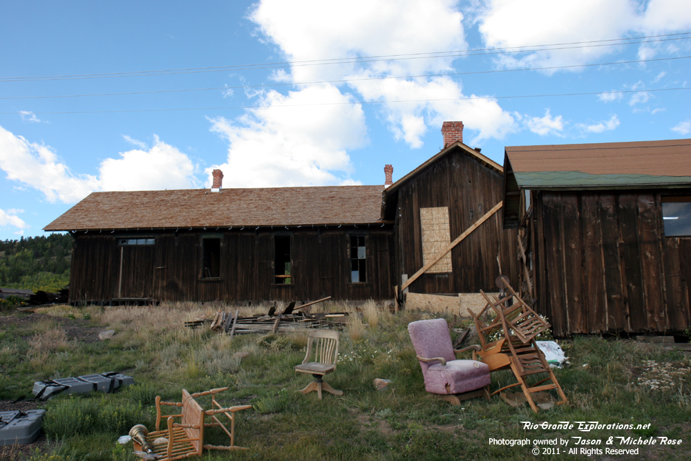
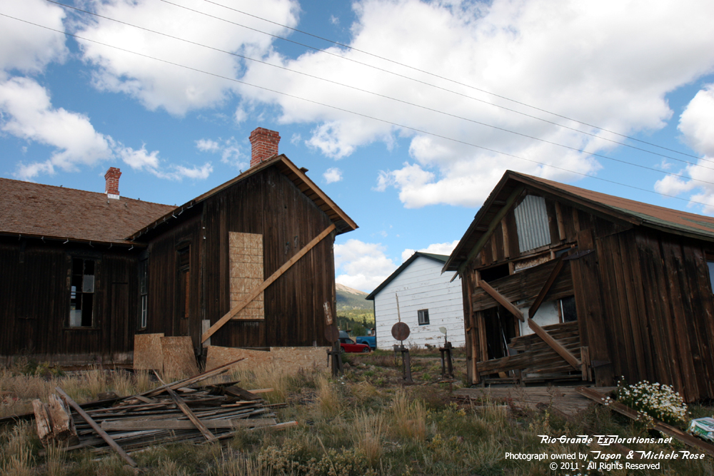
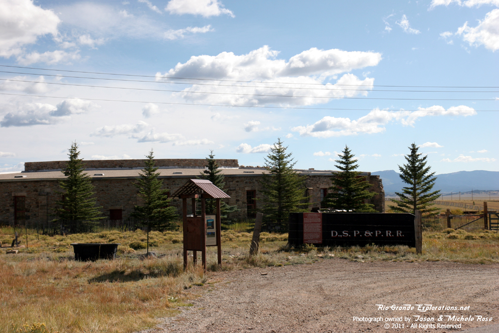
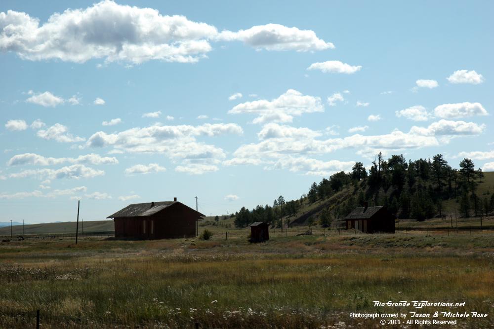
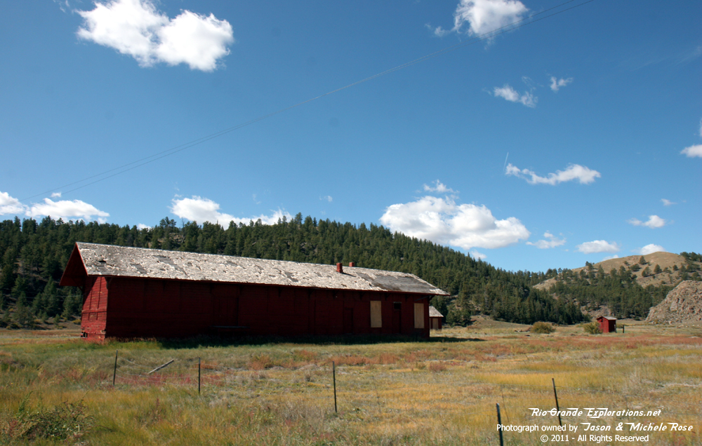
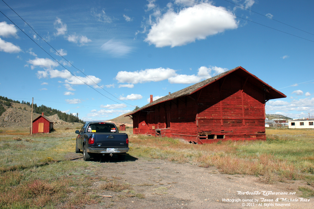
Como is the DSP&P / C&S version of Chama. Dozens of trains (some with 4 locomotives) arrived and departed this remote division point each day around the turn of the last century. Coal smoke filled the sky day and night from trains to Denver, trains from Gunnison (via Alpine Tunnel), trains to Leadville, Breckenridge, Fairplay, St Elmo, Buena Vista... it all happened here in this quiet, quaint little town. |
||
|
|
|
|
|
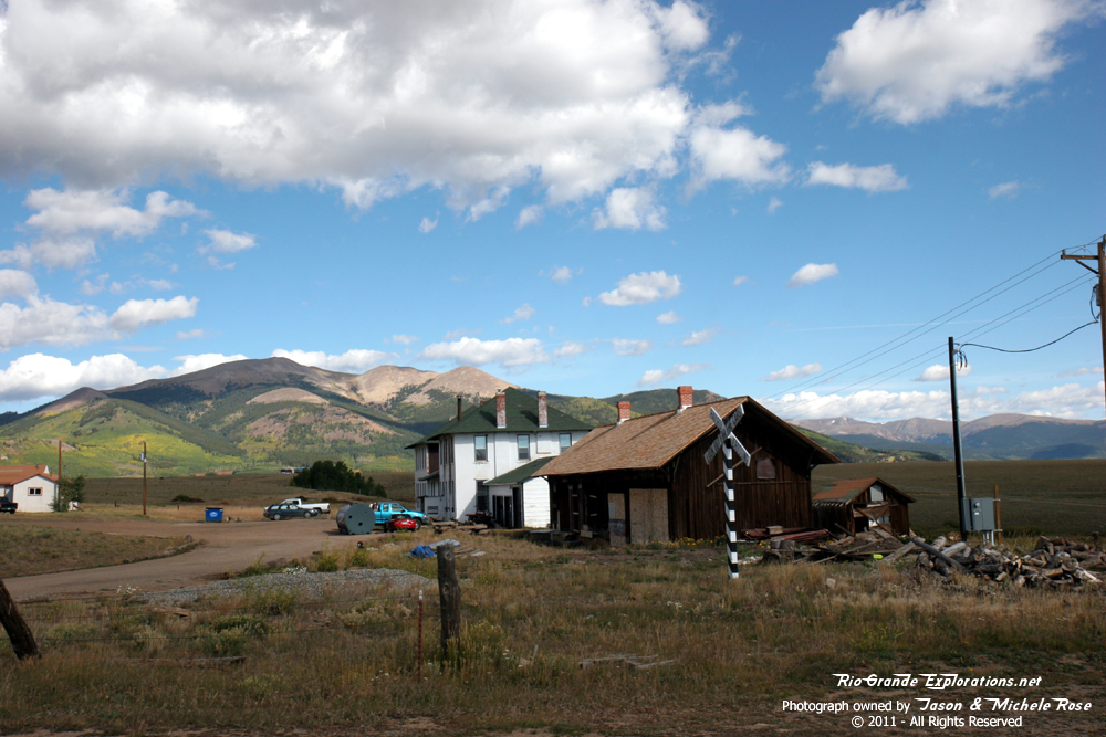
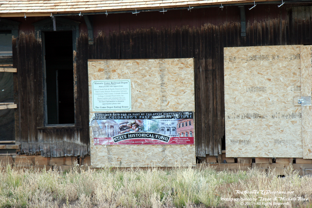
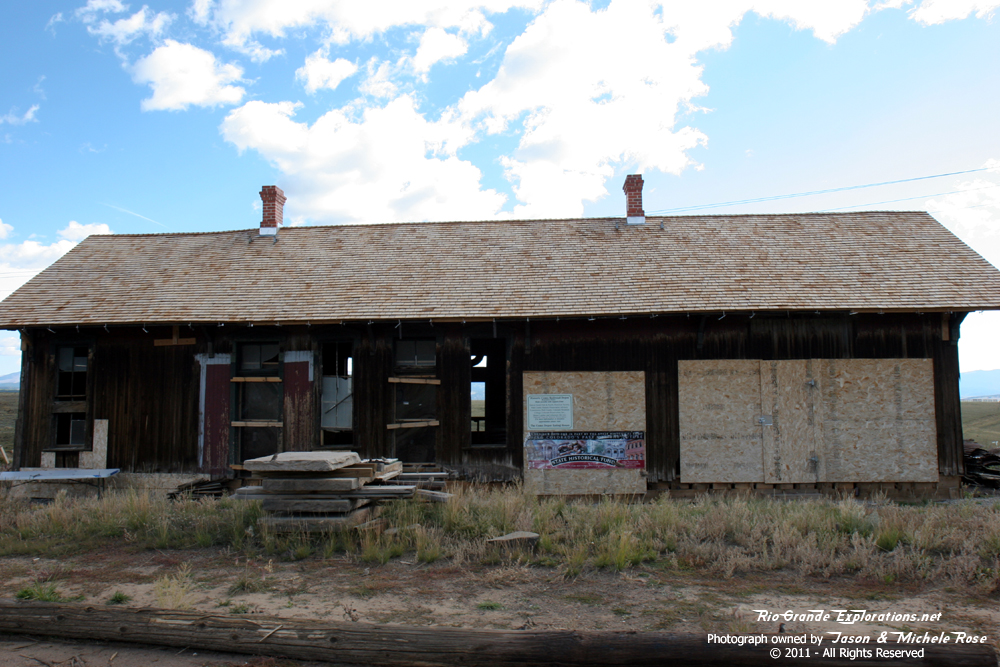
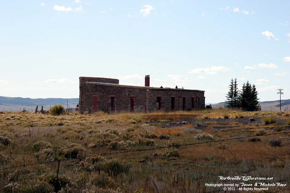
The Como Eating House has been beautifully restored and work is being done on the Depot as well. |
||
|
|
|
|
|
Behind the Eating House / Hotel and Depot. |
||
|
|
|
|
|
|
|
Como Security |
|
|
|
|
|
The Roundhouse was locked up this day. I'll just have to go back and try again! |
||
|
|
|
|
|
|
|
|
|
|
|
|
|
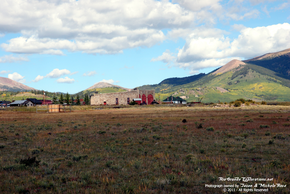
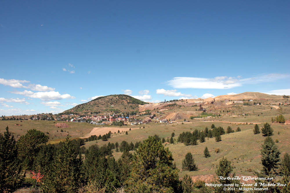
Bidding farewell to this remarkable treasure of railroad history. |
||
|
|
|
|
|
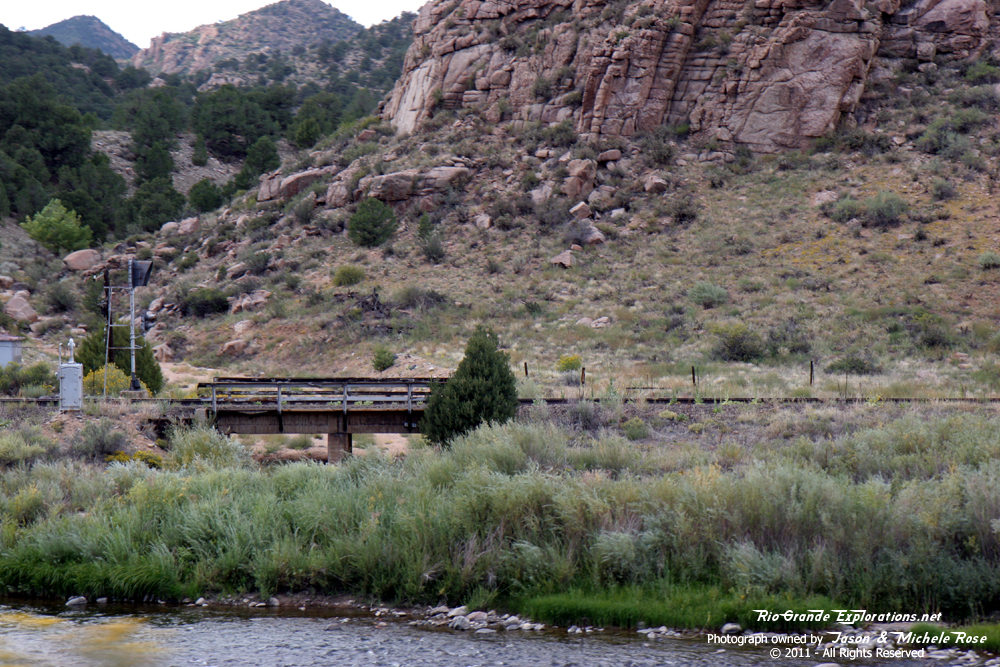
Highballin' through the South Park! |
||
|
|
|
|
|
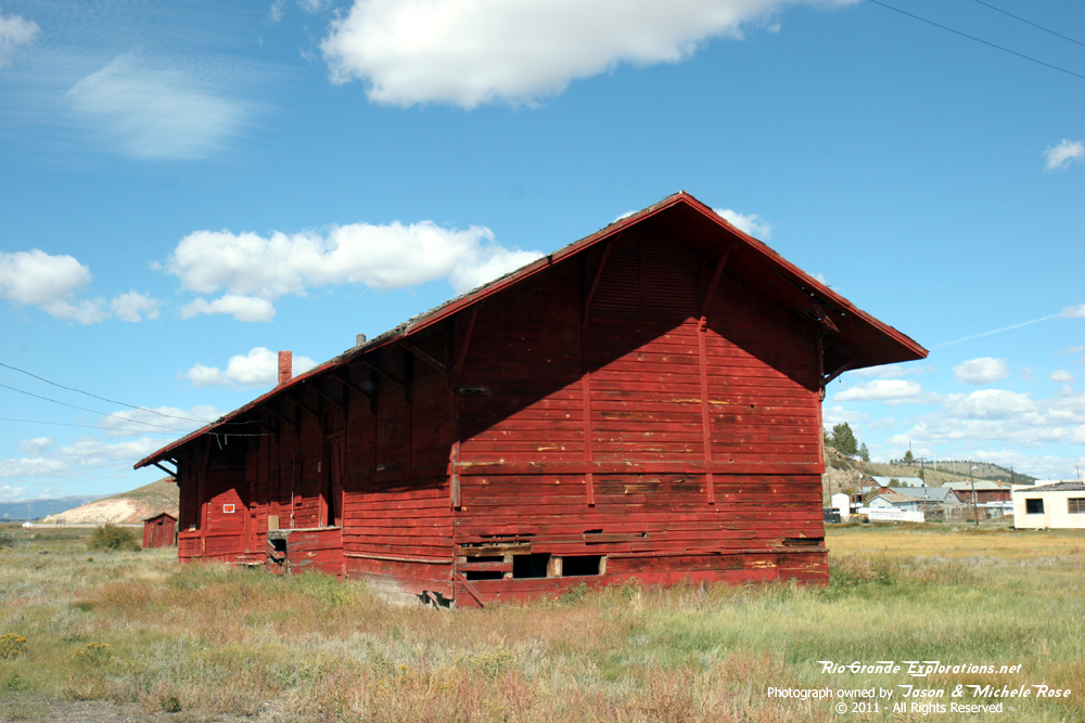
We stopped briefly in Hartsel to inspect the Colorado Midland freight depot. |
||
|
|
|
|
|
|
|
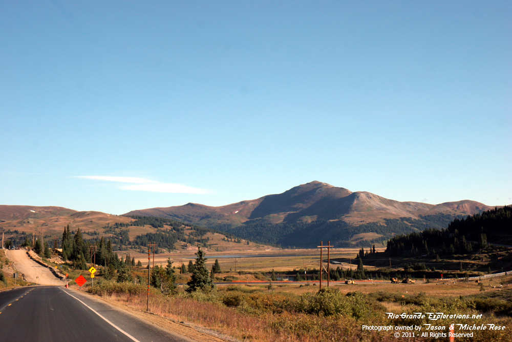
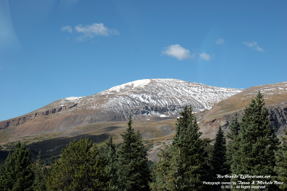
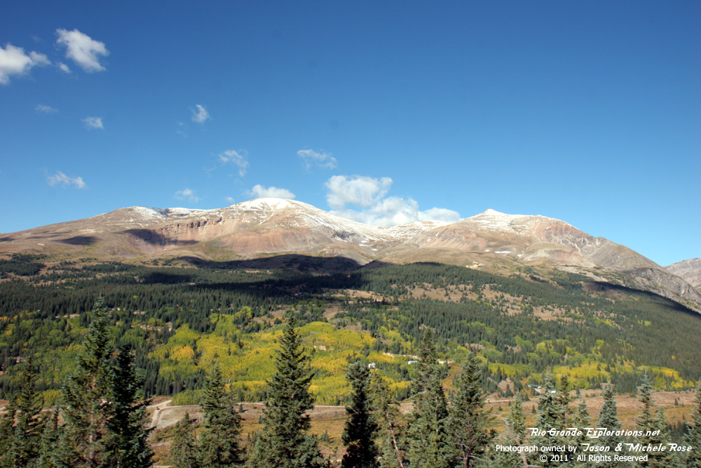
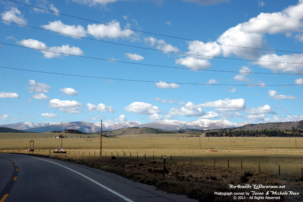
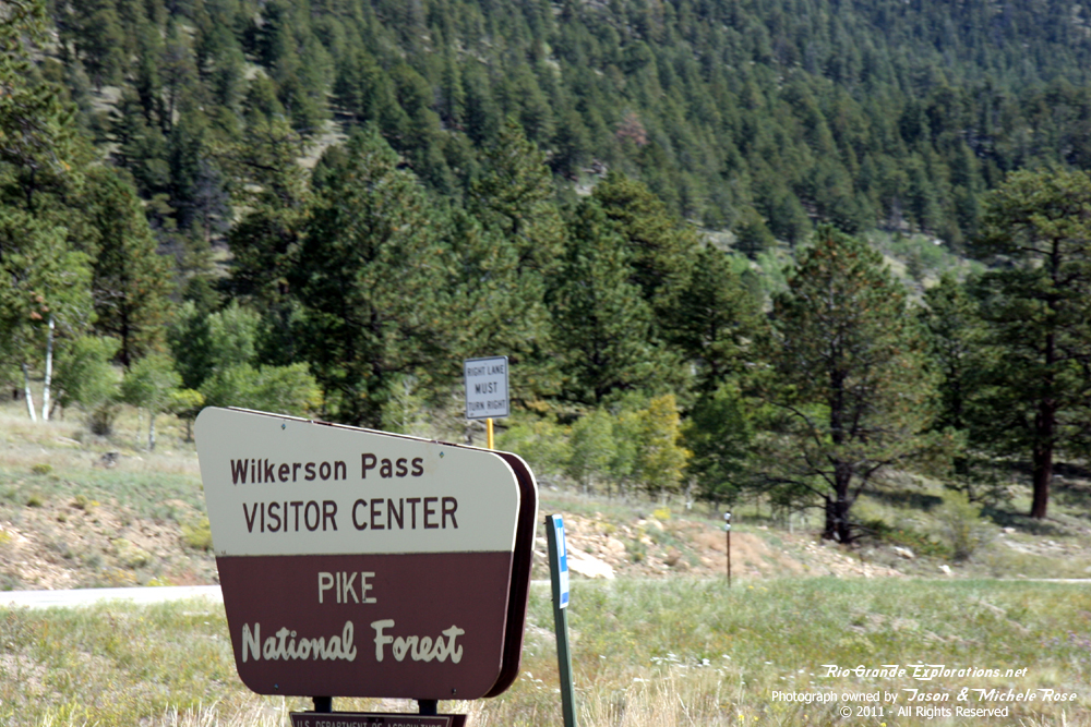
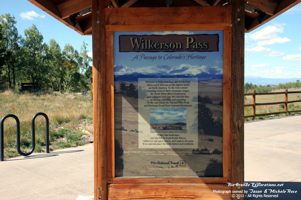
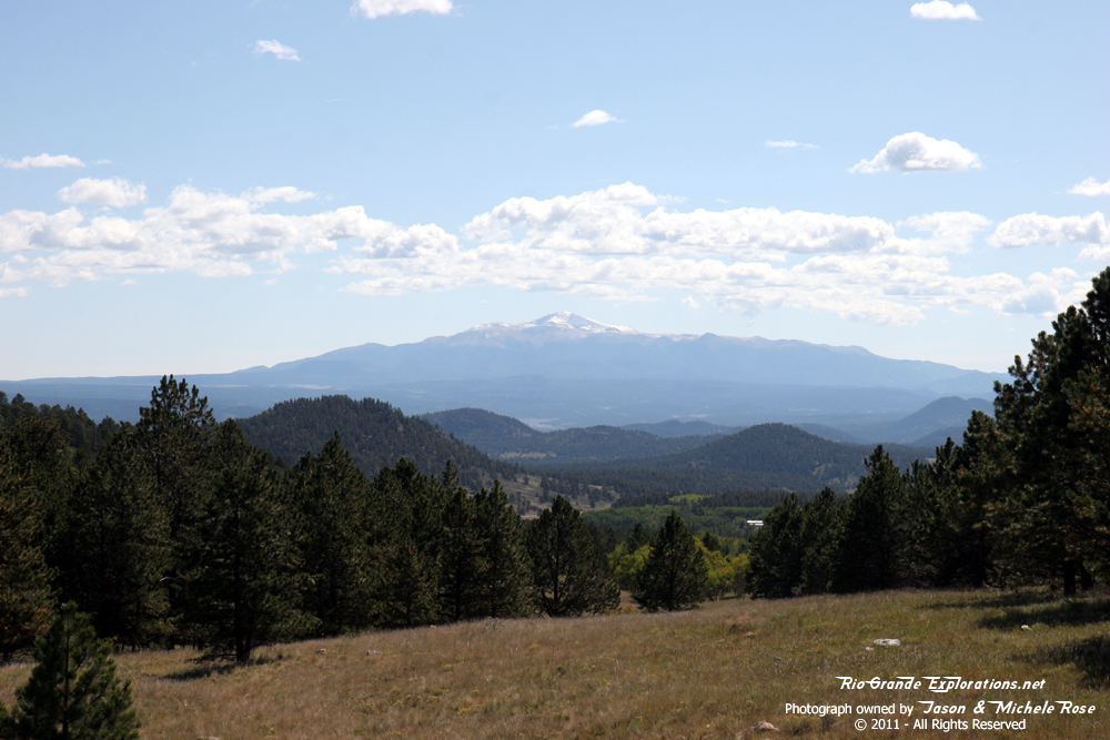
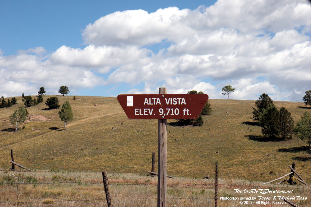
Wilkerson Pass, west of Pikes Peak |
|
|
|
|
|
|
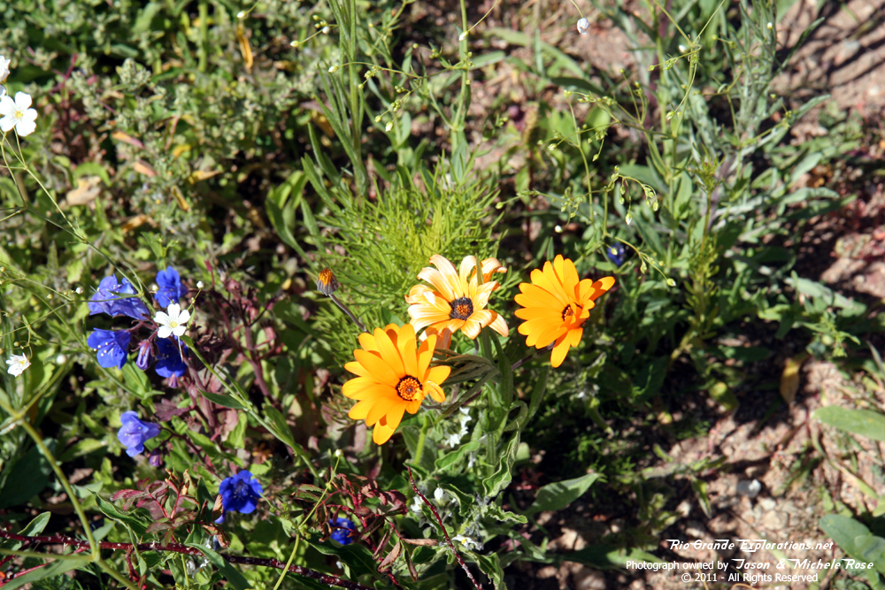
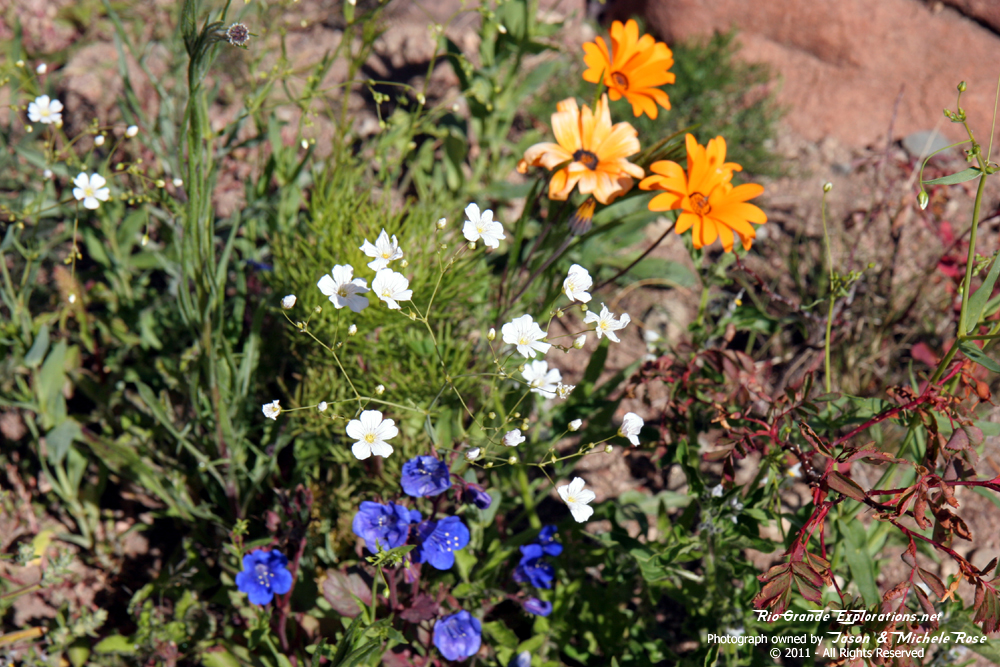
More of Michele's flowers |
|
|
|
|
|
|
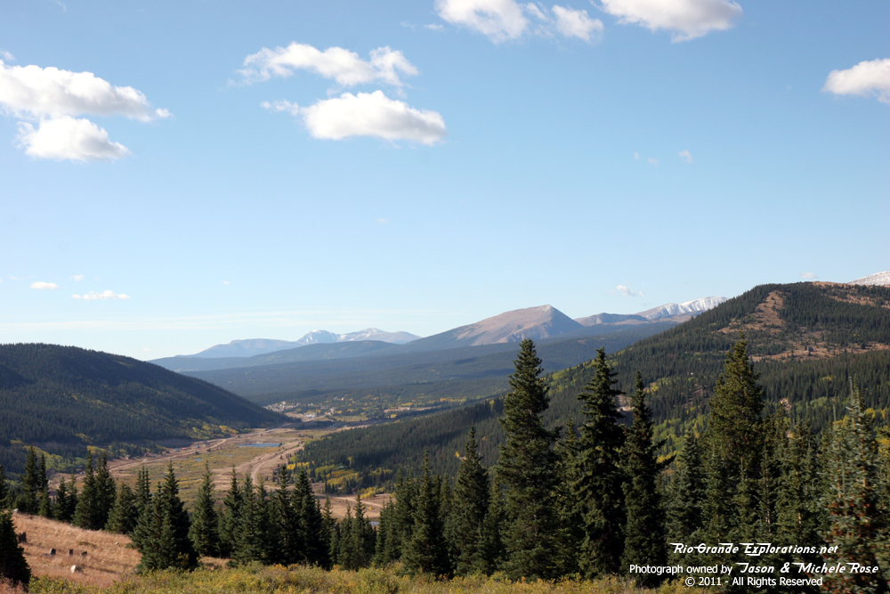
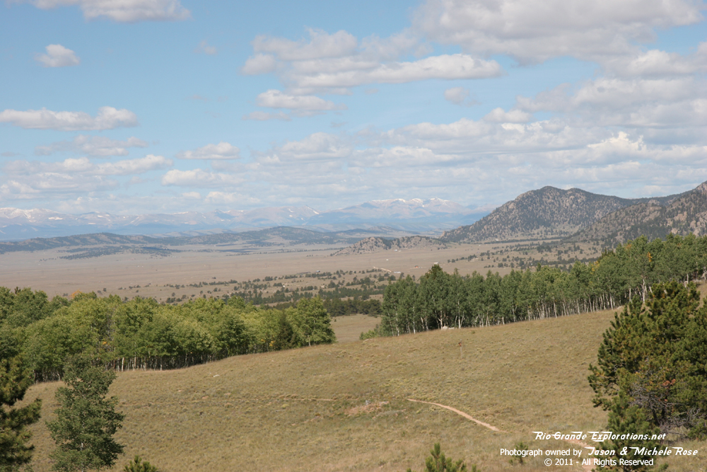
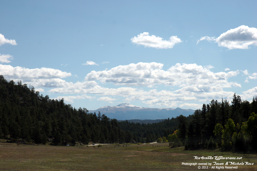
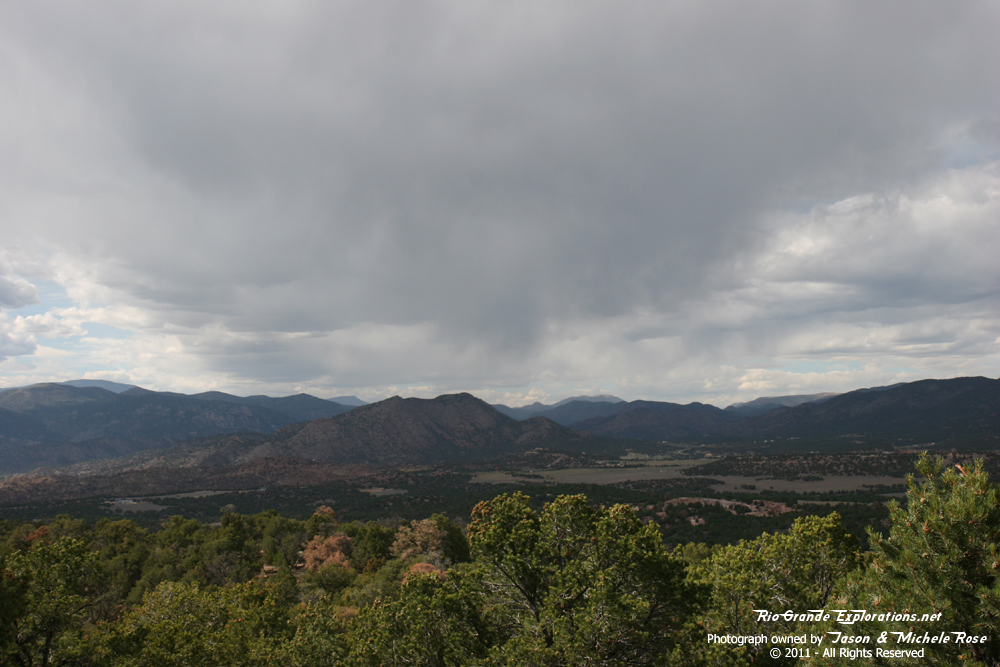
Looking west over the South Park |
|
|
|
|
|
|
|
|
Western side of Pikes Peak |
|
|
|
|
|
|
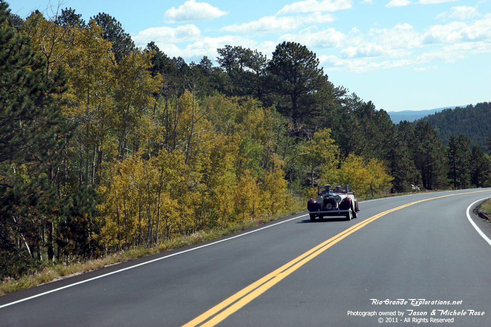
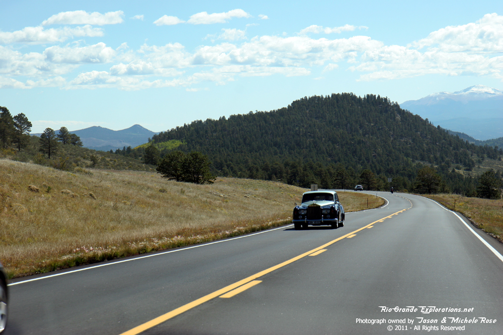
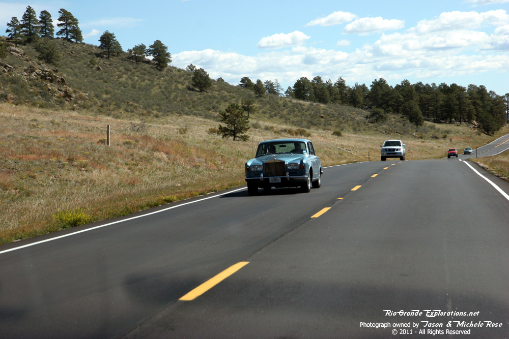
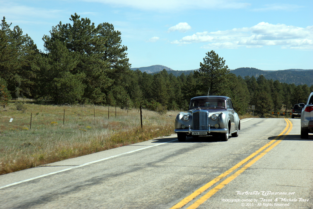
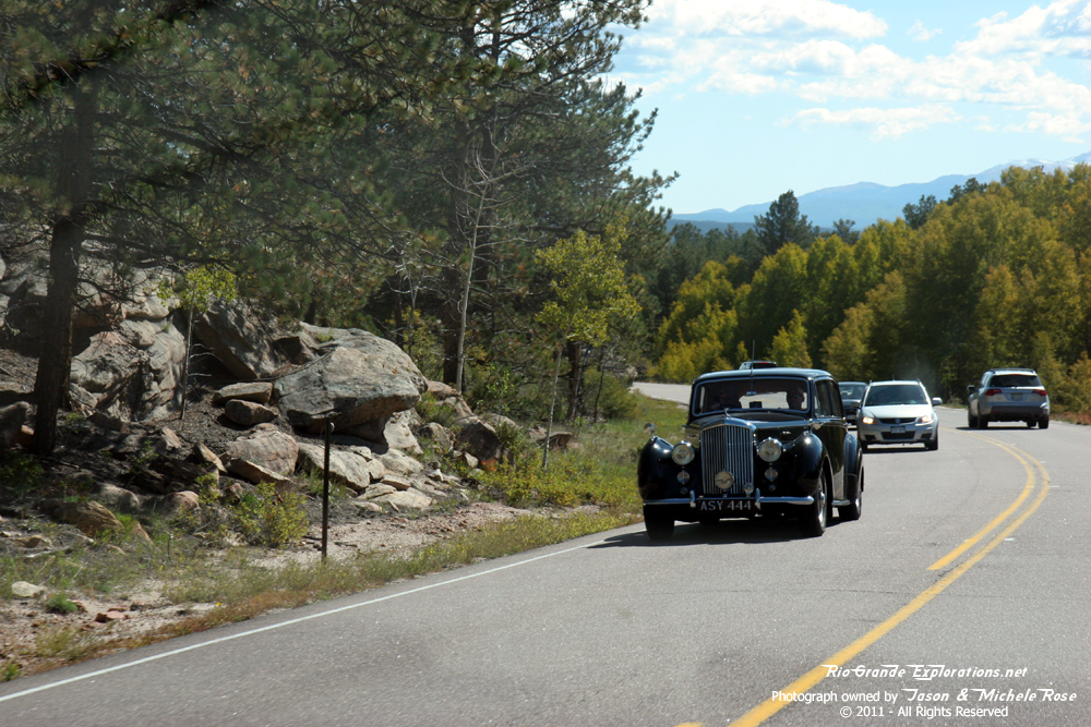
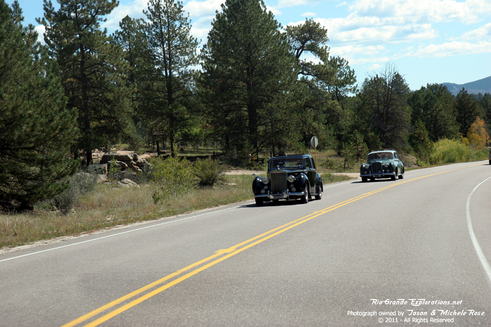
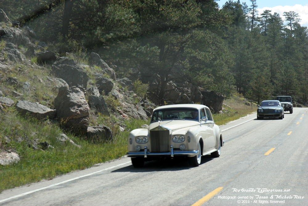
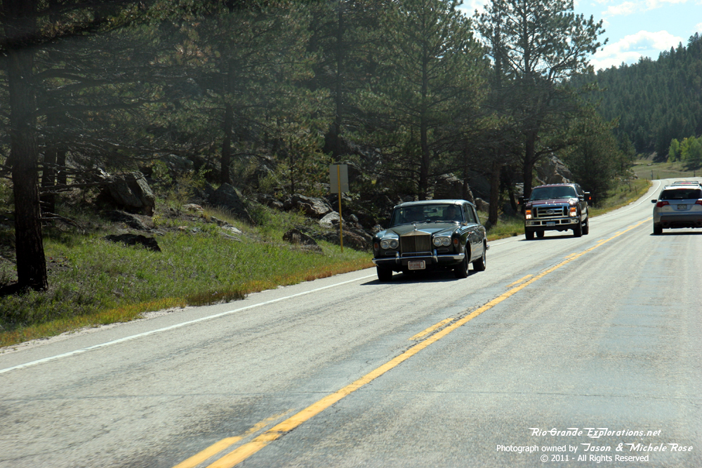
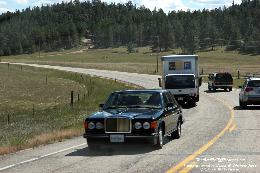
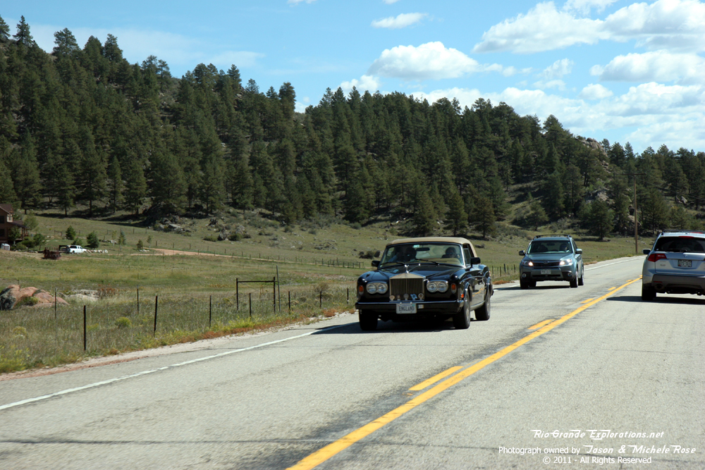
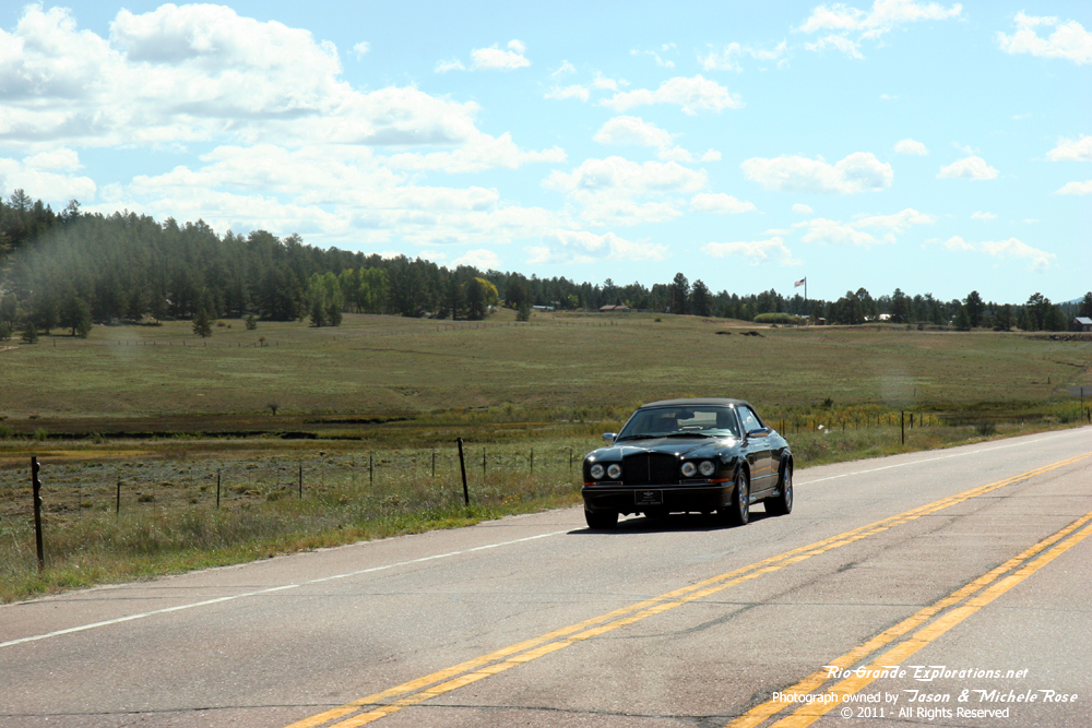
On the final push to Divide, we passed a parade of old cars. There must've been a convention somewhere. |
||
|
|
|
|
|
|
|
Western side of Pikes Peak |
|
|
|
|
|
|
|
|
|
|
|
|
|
|
|
|
|
|
|
|
|
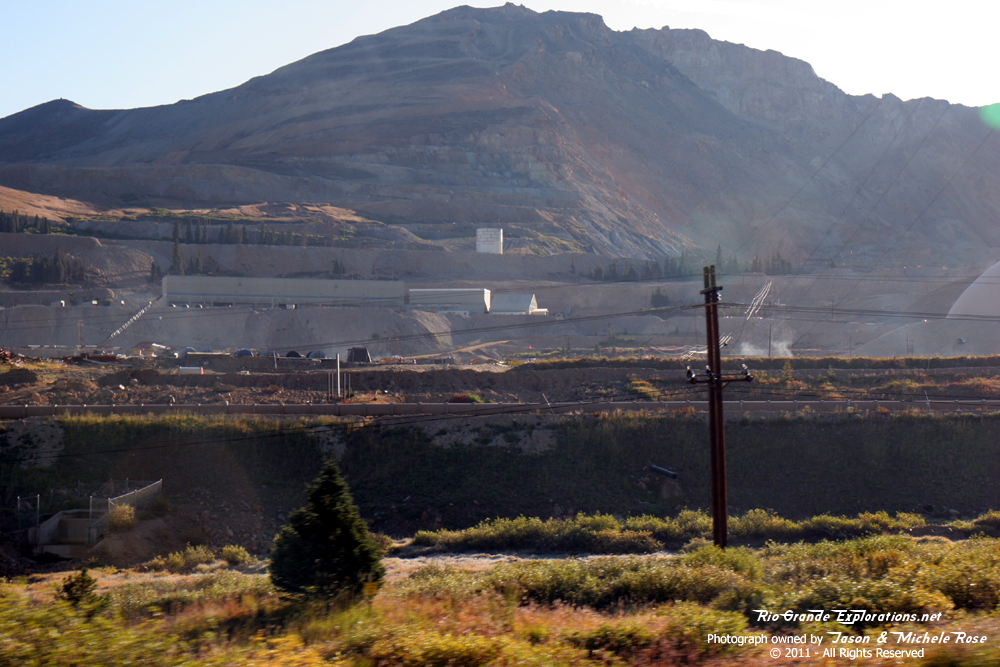
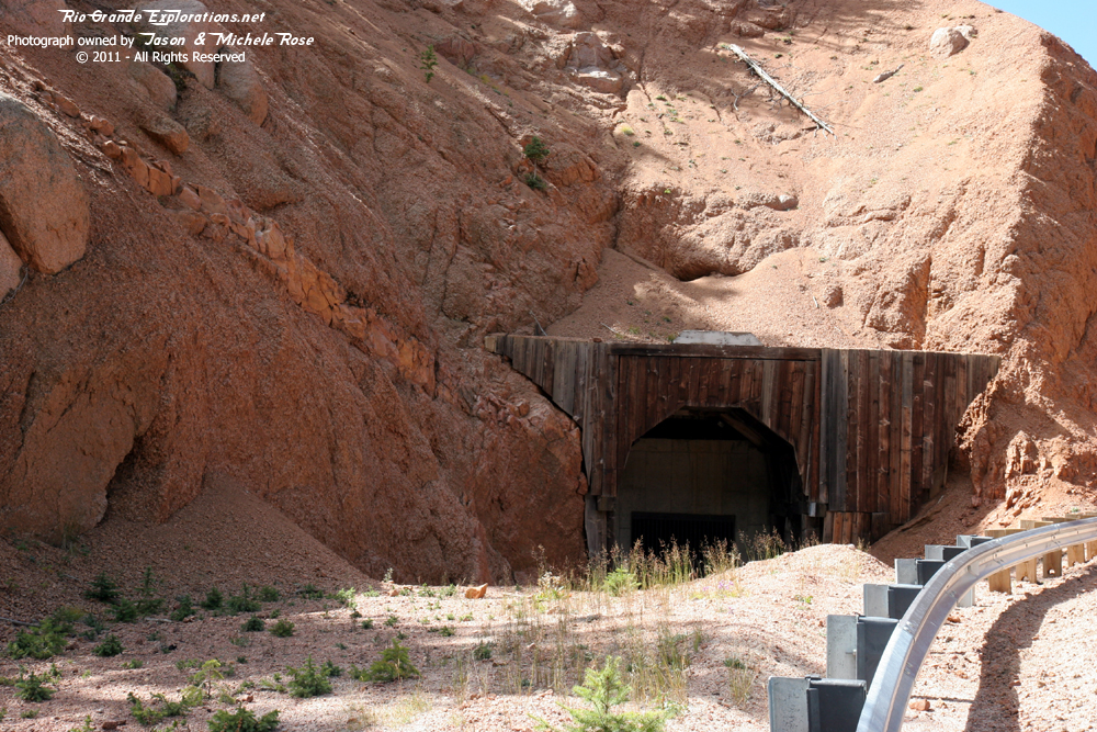
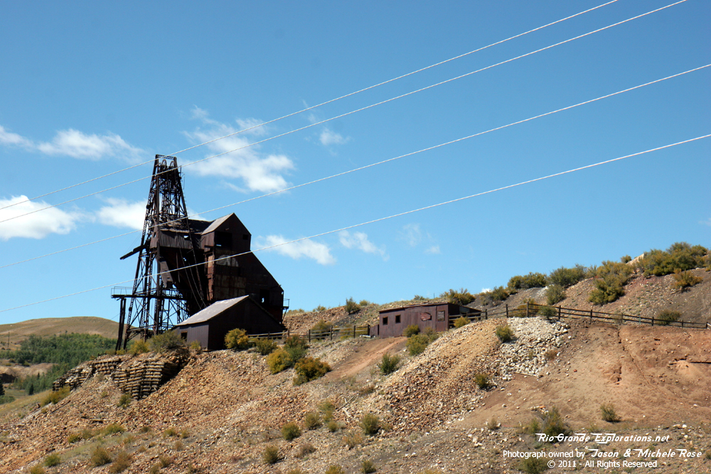
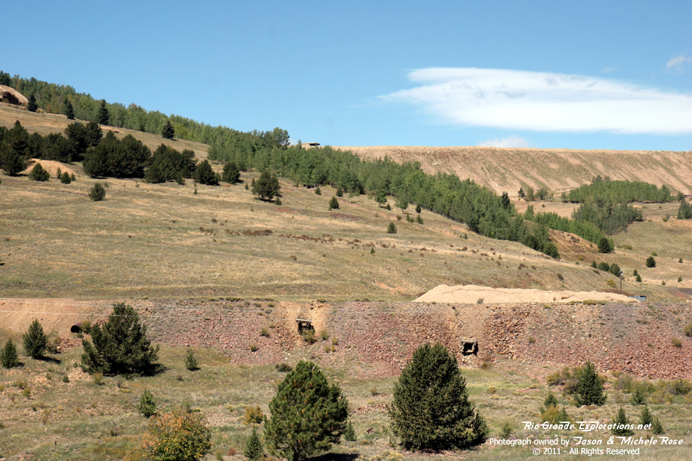
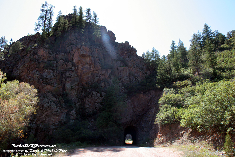
CM / MT tunnel between Divide and Cripple Creek. |
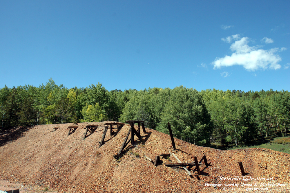
Trestle / Fill remnants. |
|
|
|
|
|
|
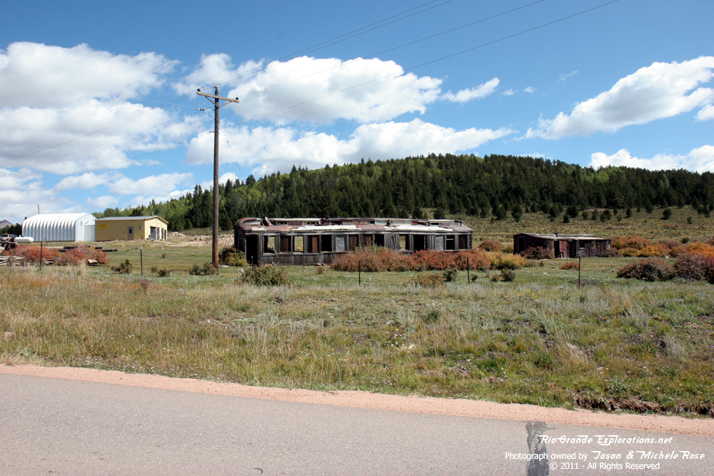
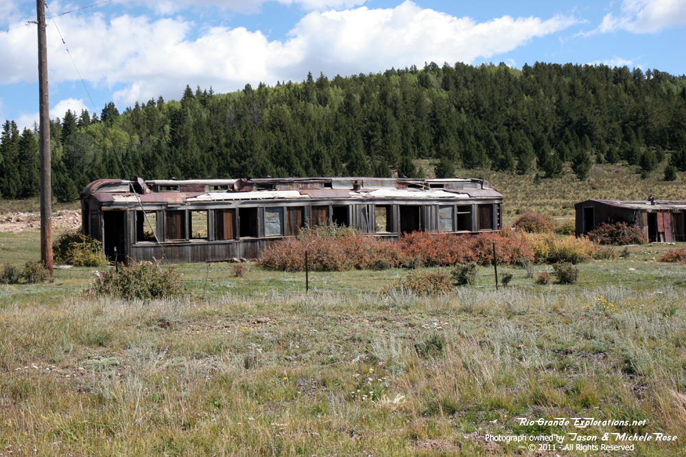
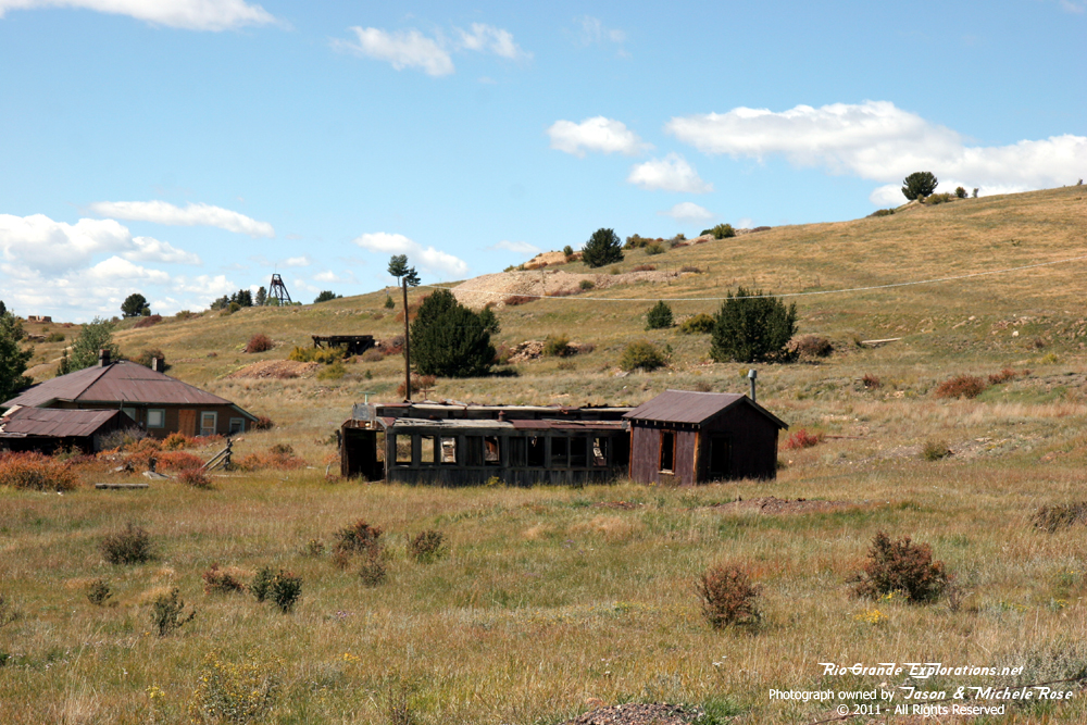
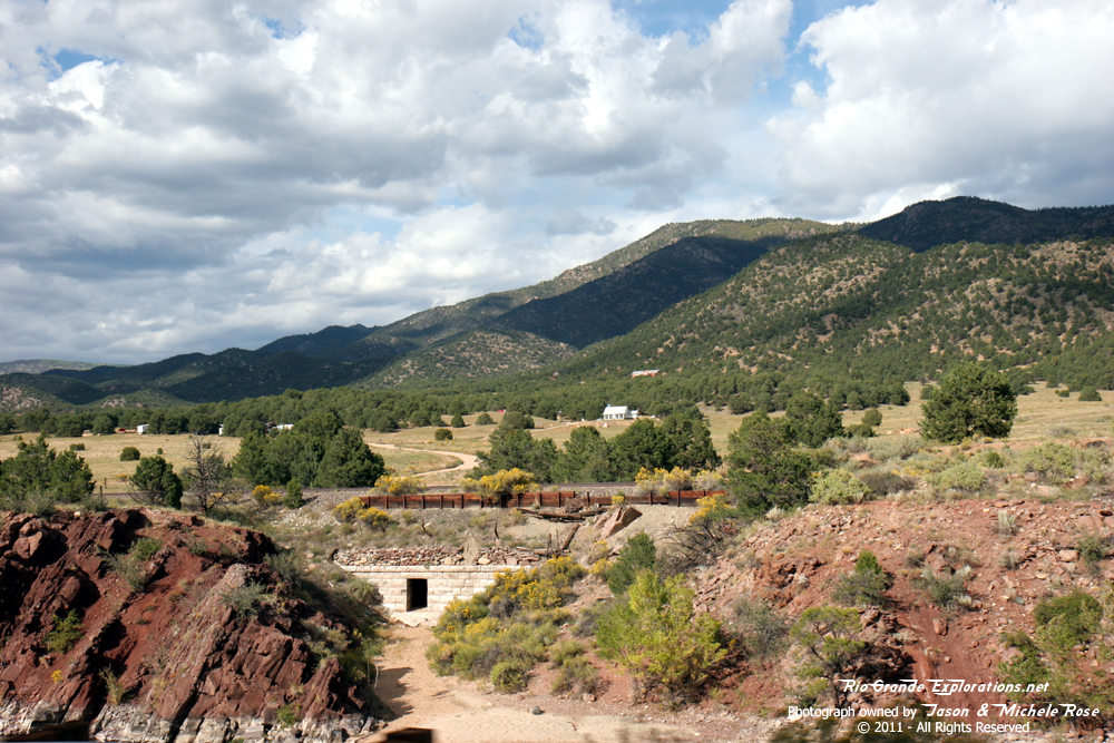
Passenger coach remains near Goldfield on the east side of Victor. |
||
|
|
|
|
|
|
|
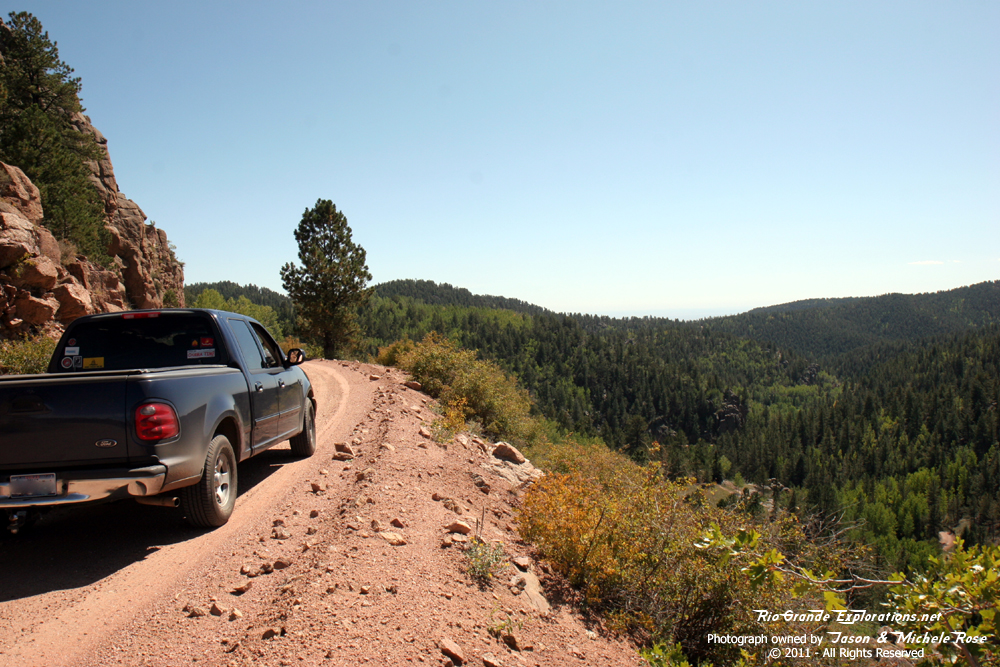
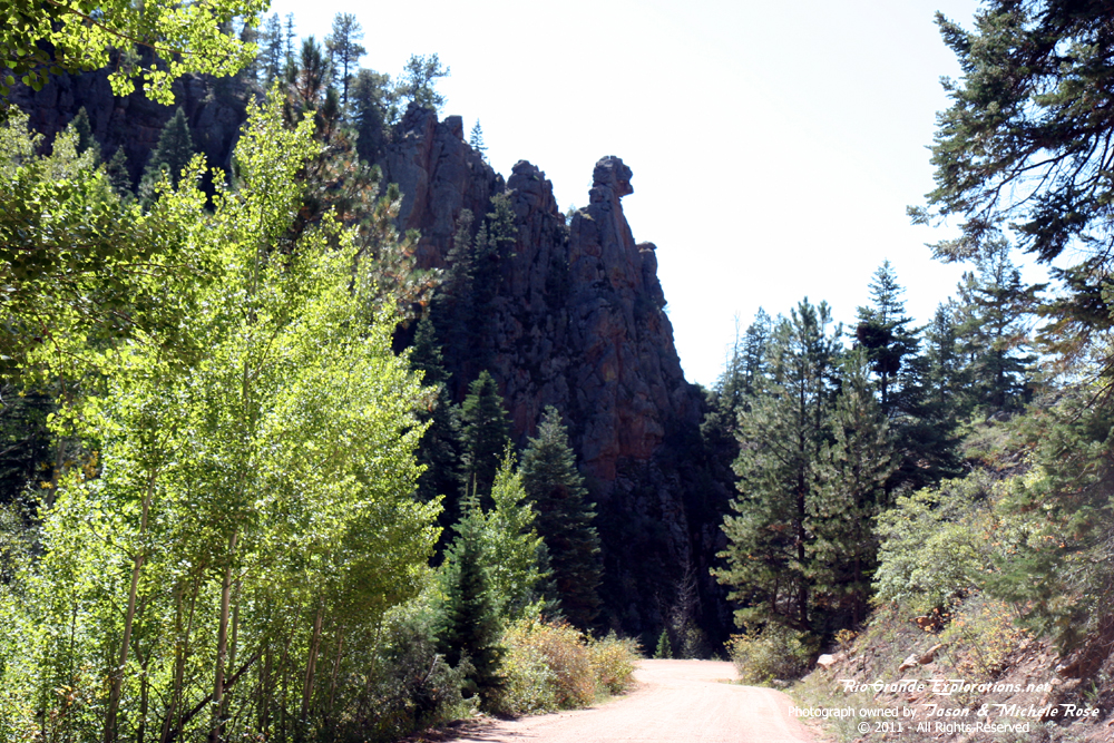
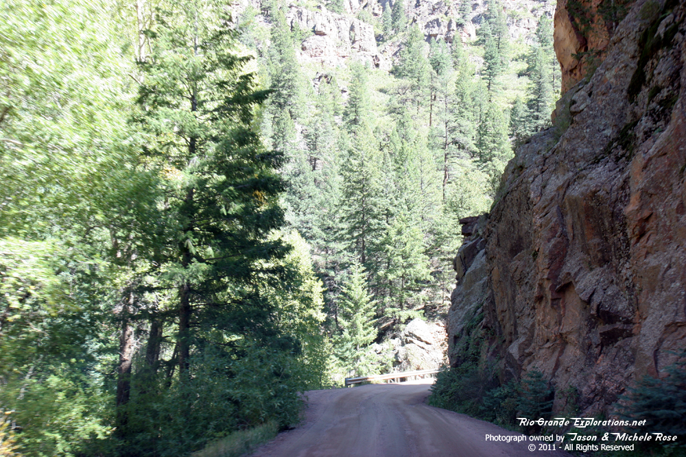
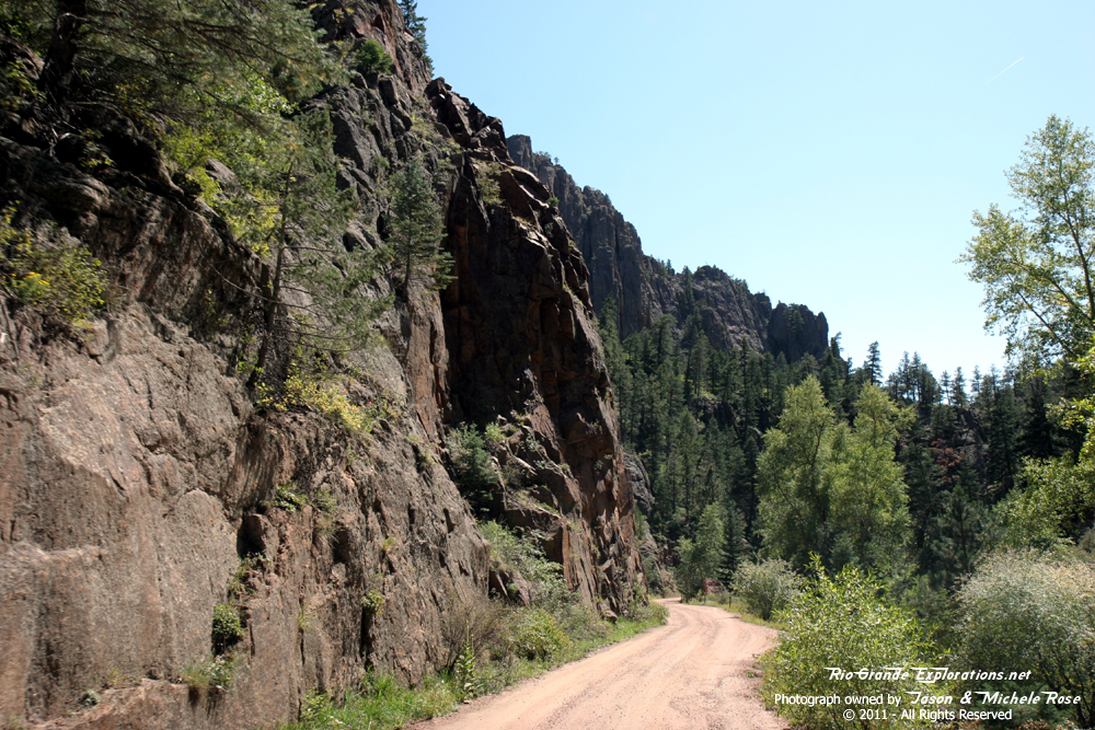
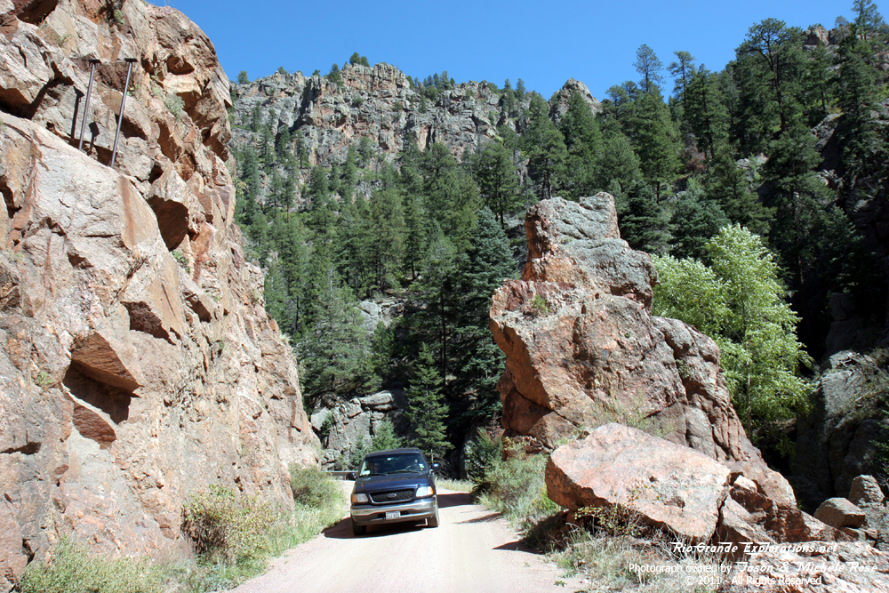
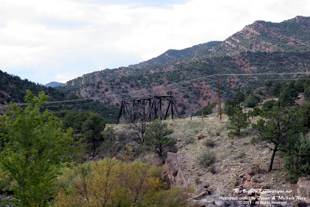
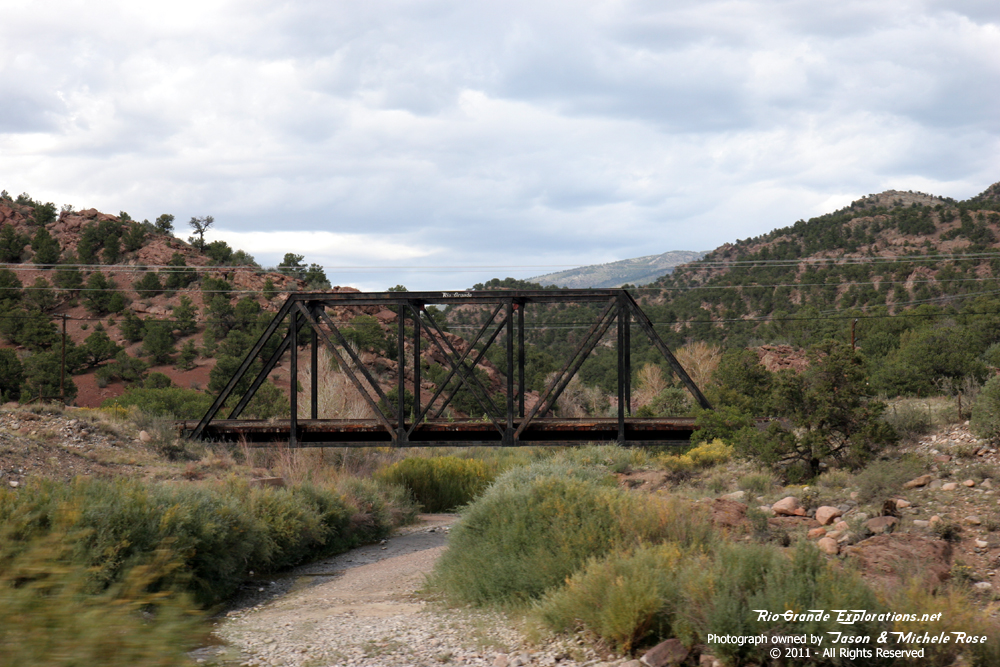
Our second main objective for the day: Phantom Canyon Road |
|
|
|
|
|
Looking back at Victor from Phantom Canyon Road. |
|
|
|
|
|
|
|
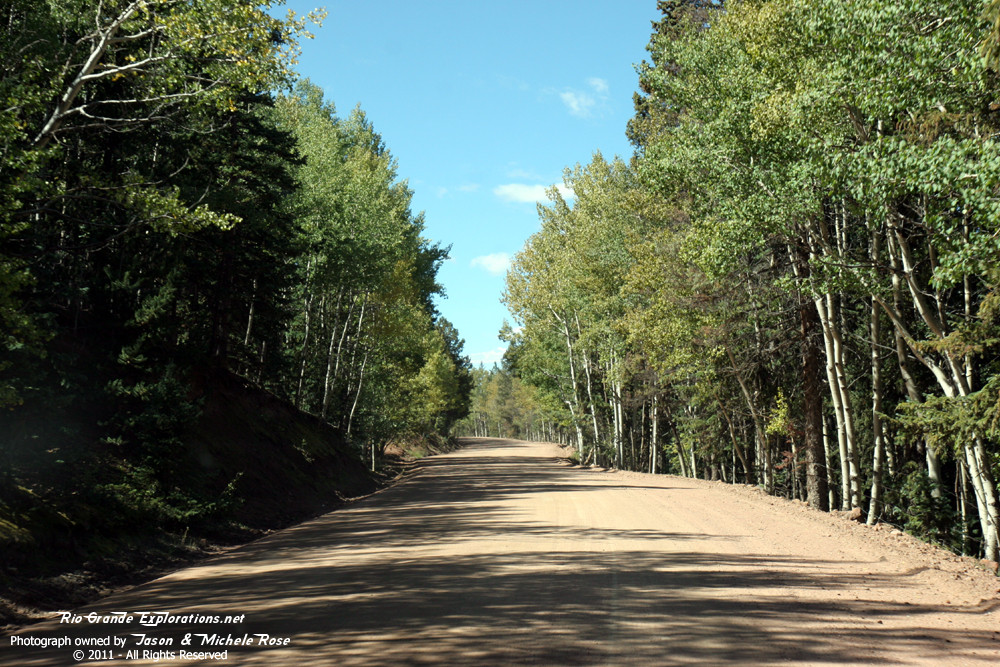
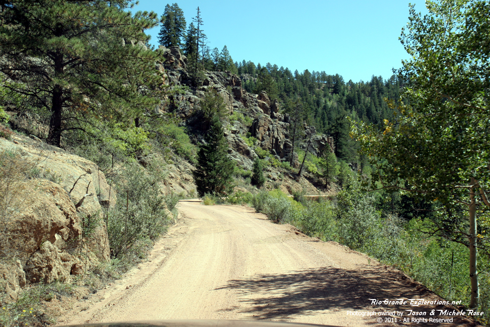
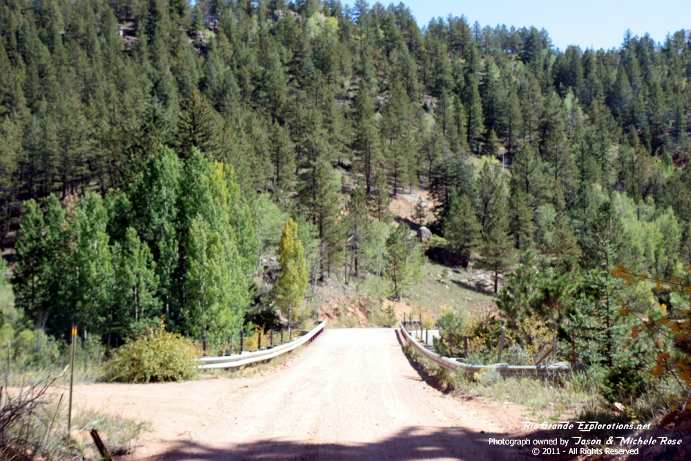
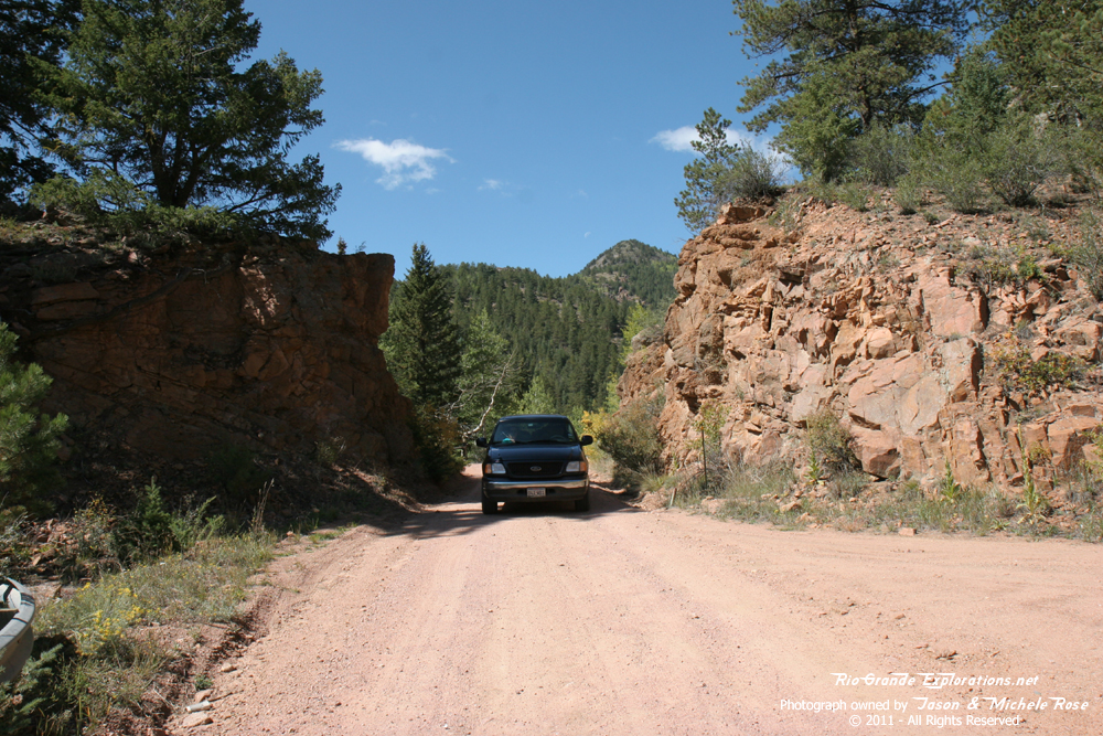
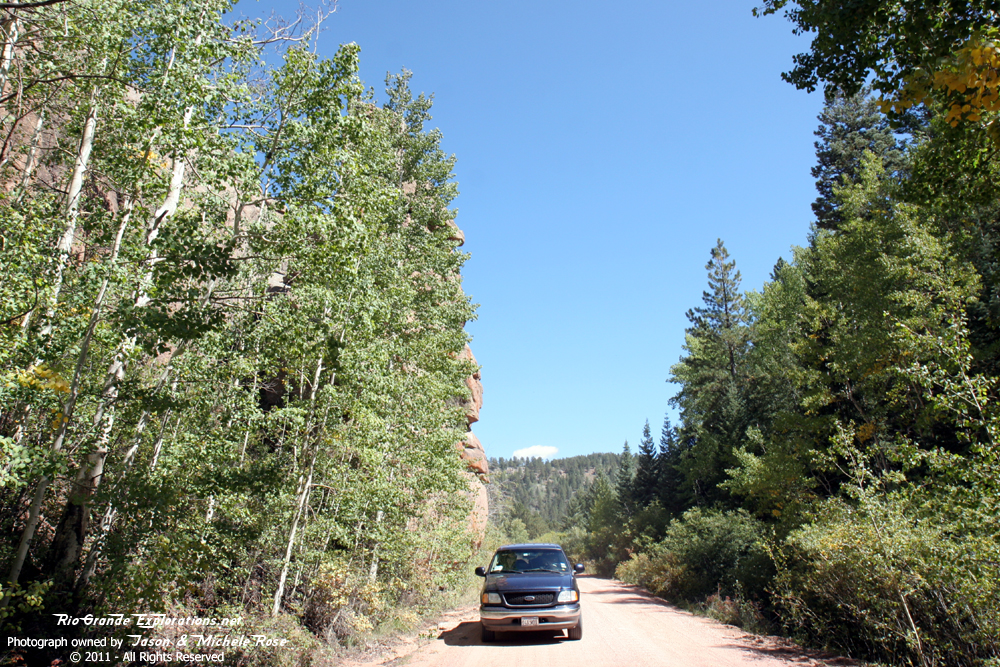
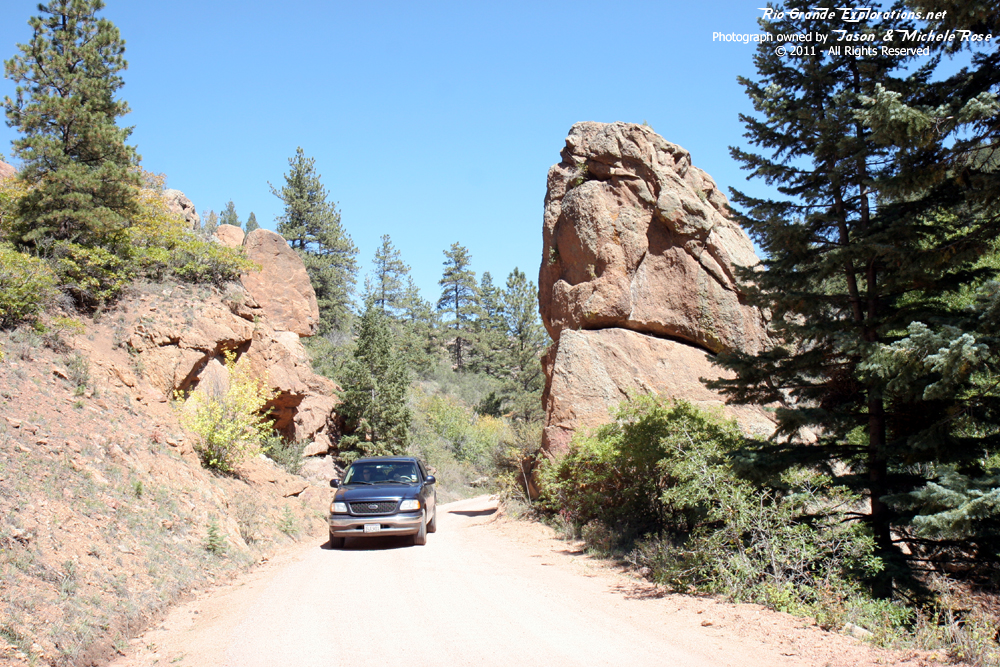
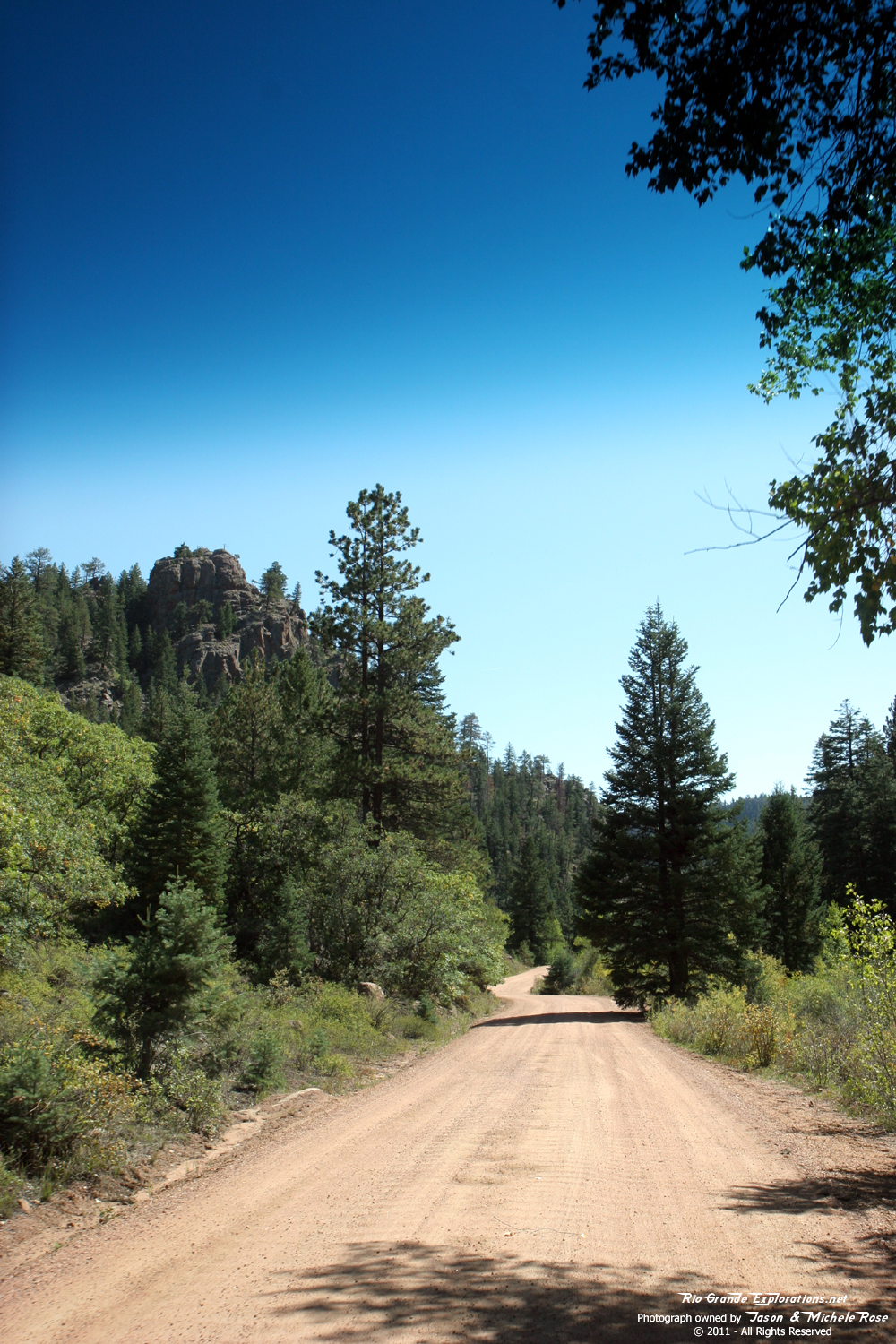
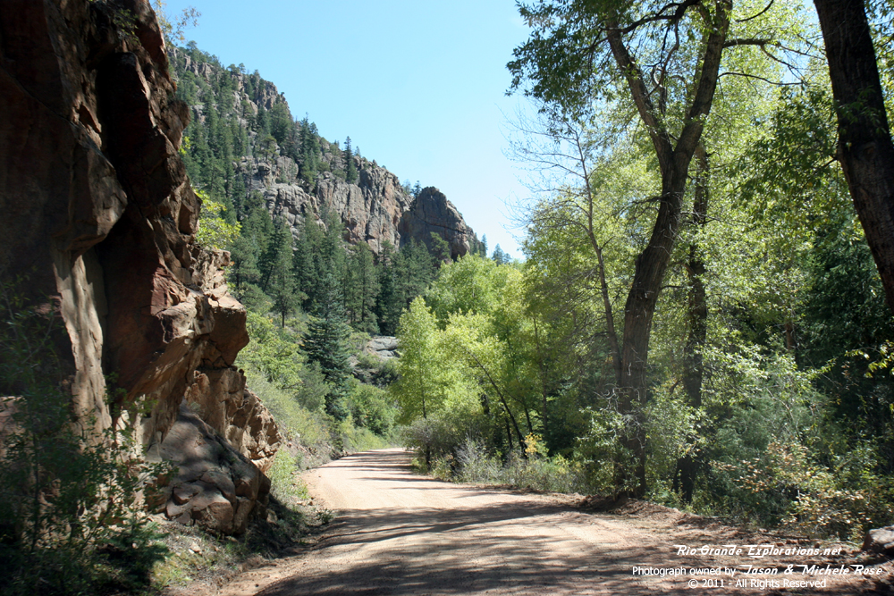
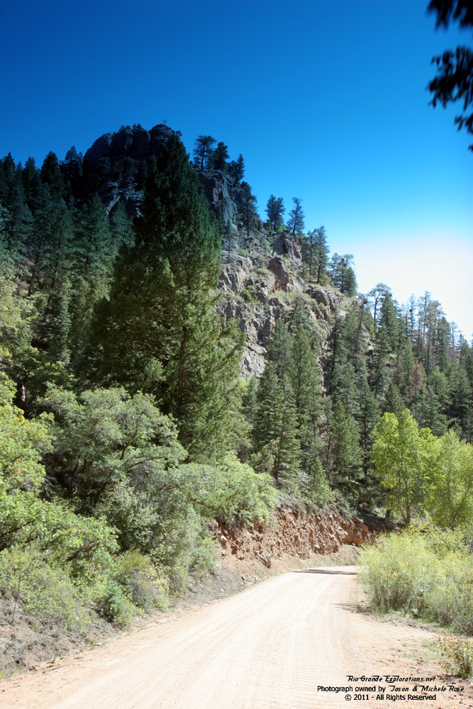
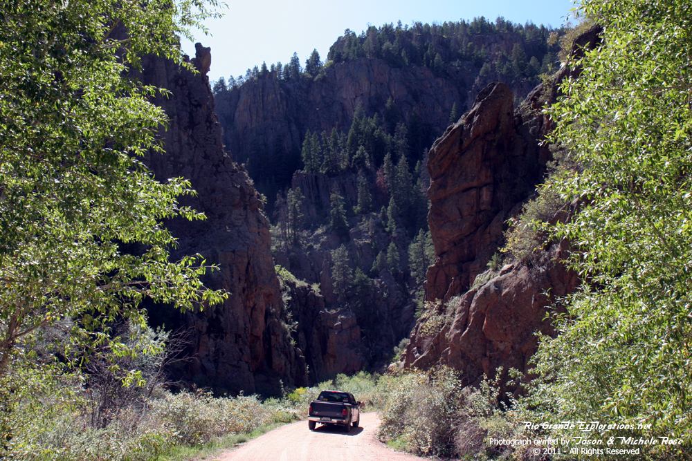
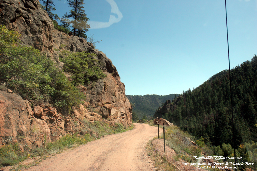
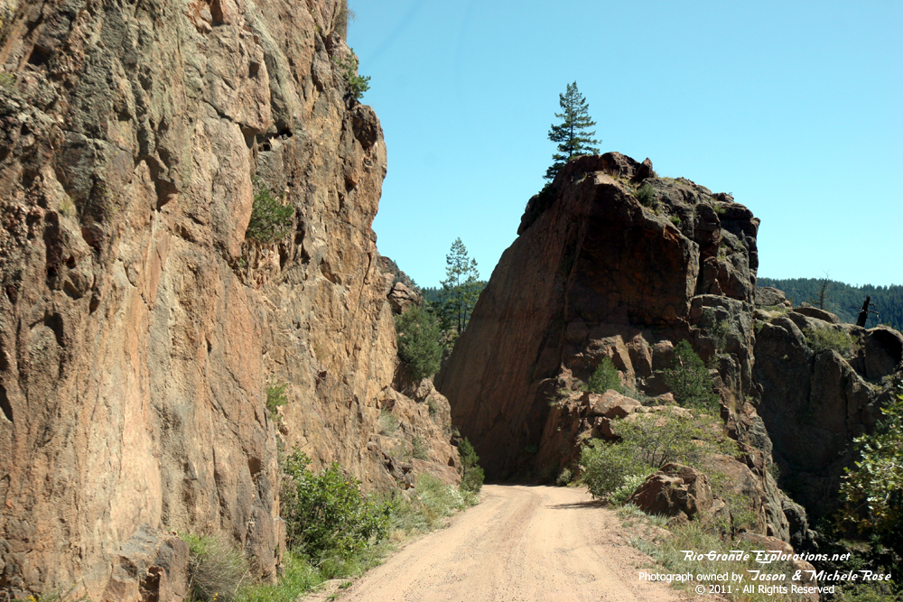
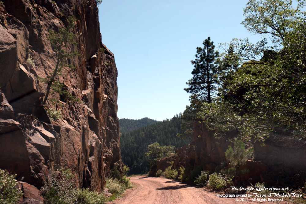
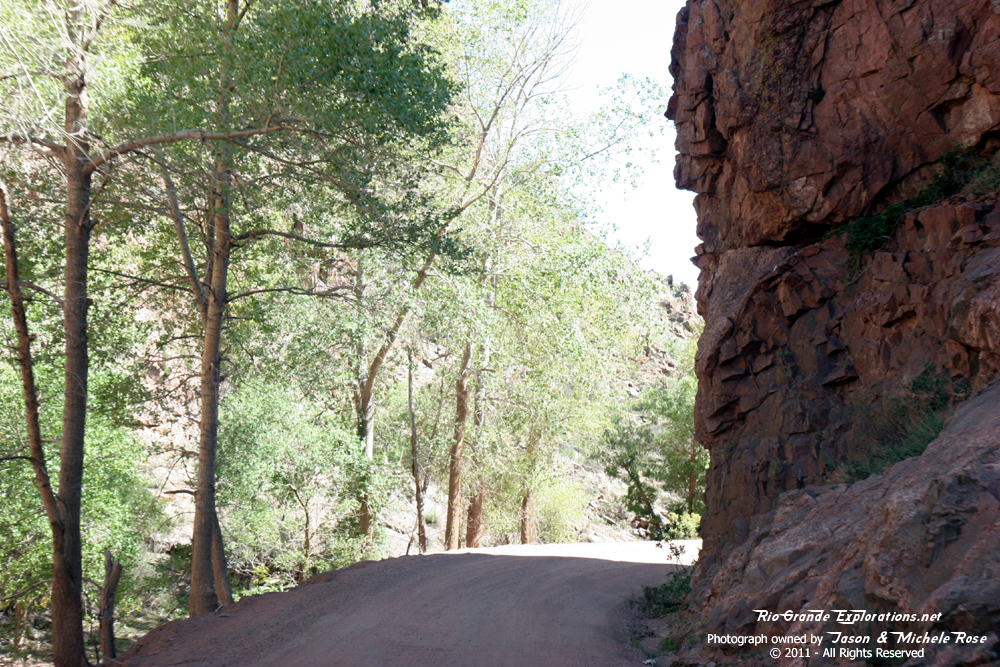
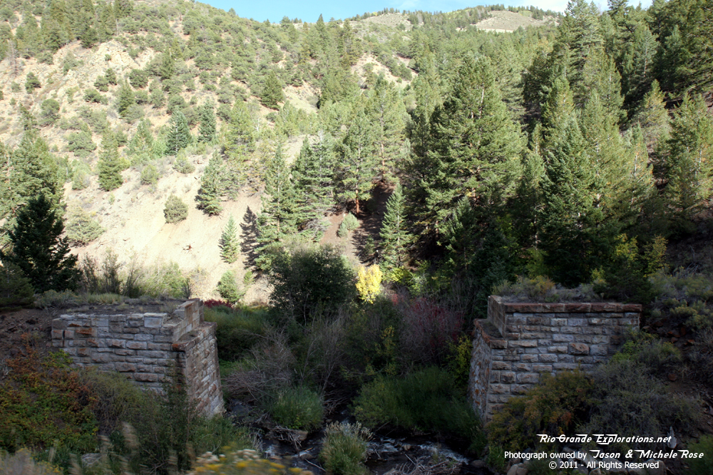
Phantom Canyon Road was built almost entirely upon the old Florence & Cripple Creek Railroad grade. |
||
|
|
|
|
|
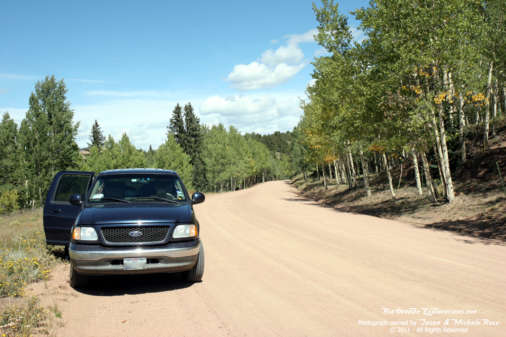
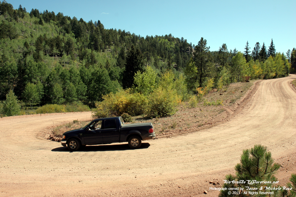
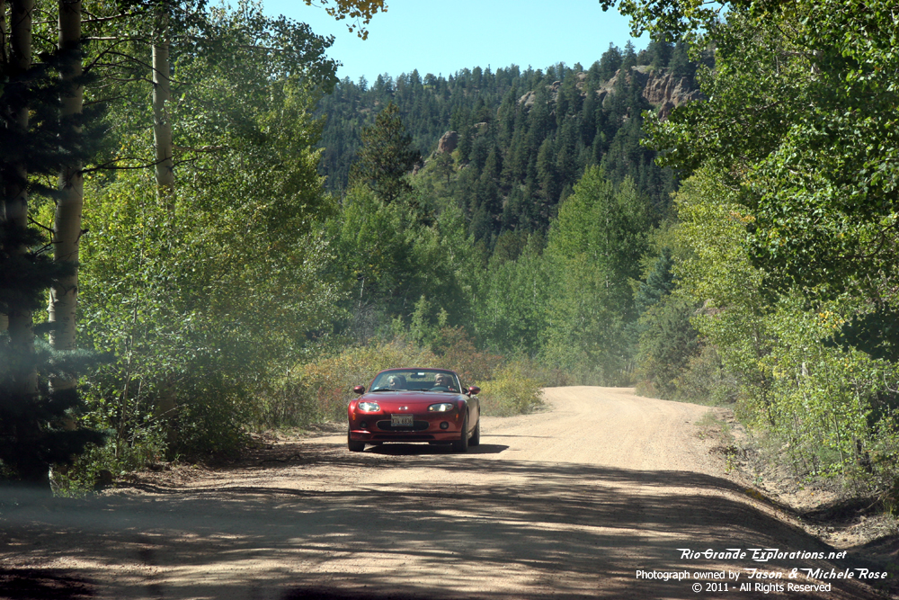
This was an easy drive, but the going was slow. The wash-boarding got pretty bad in many spots and I pushed too hard (always worried about time) and had to replace the front-end bushings on my truck. It was worth it! |
||
|
|
|
|
|
|
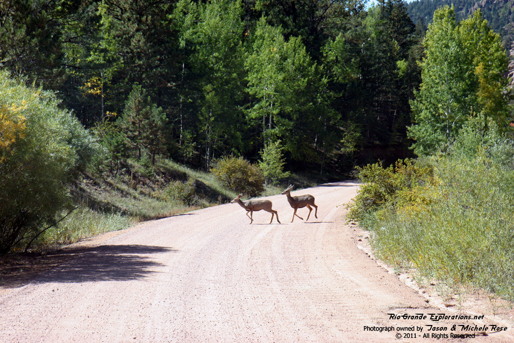
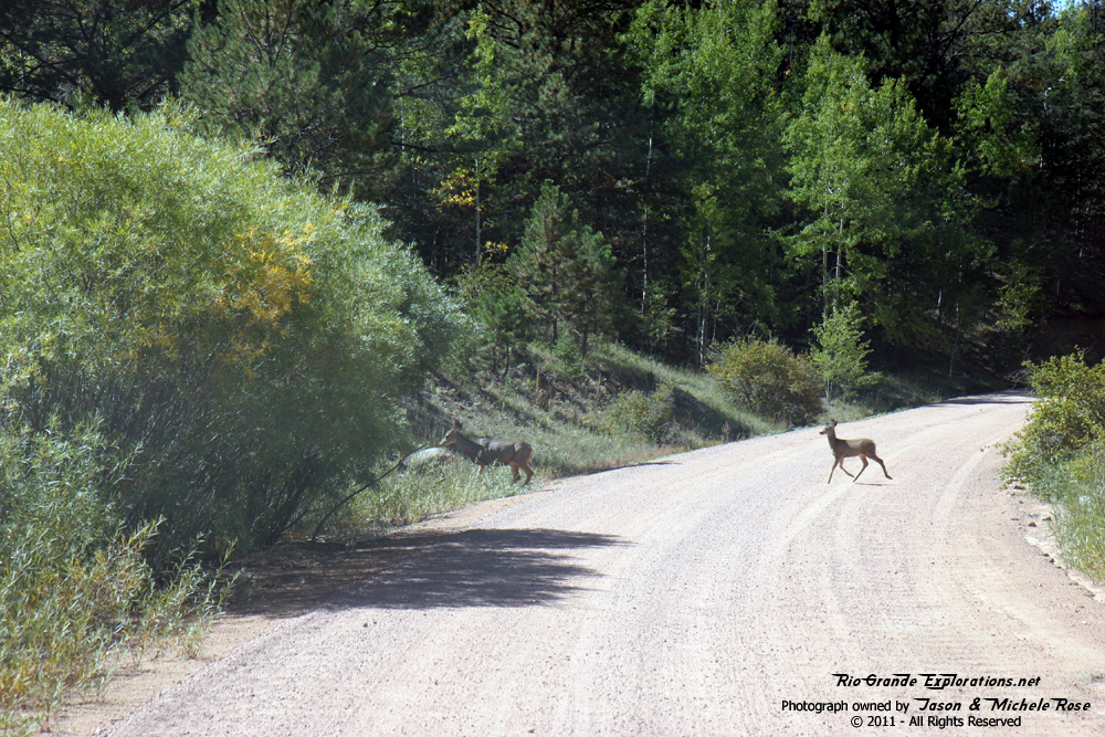
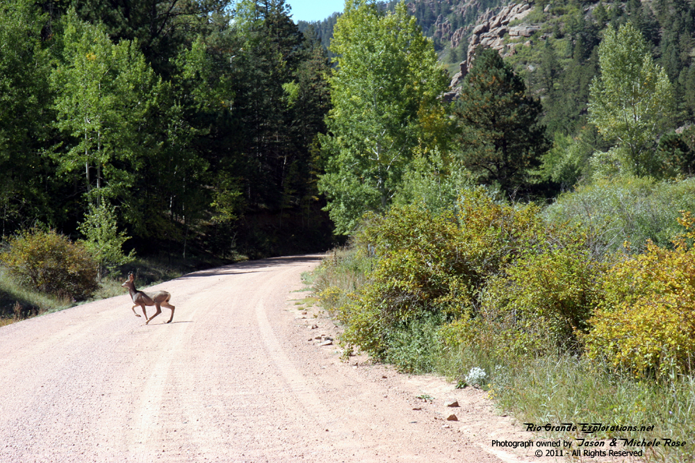
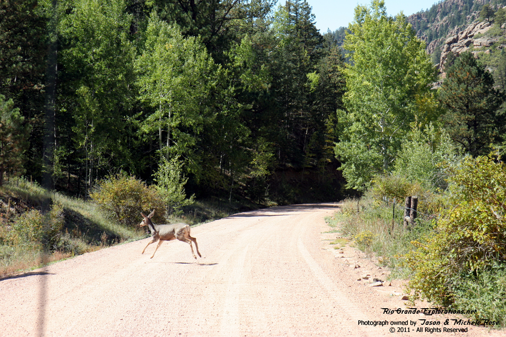
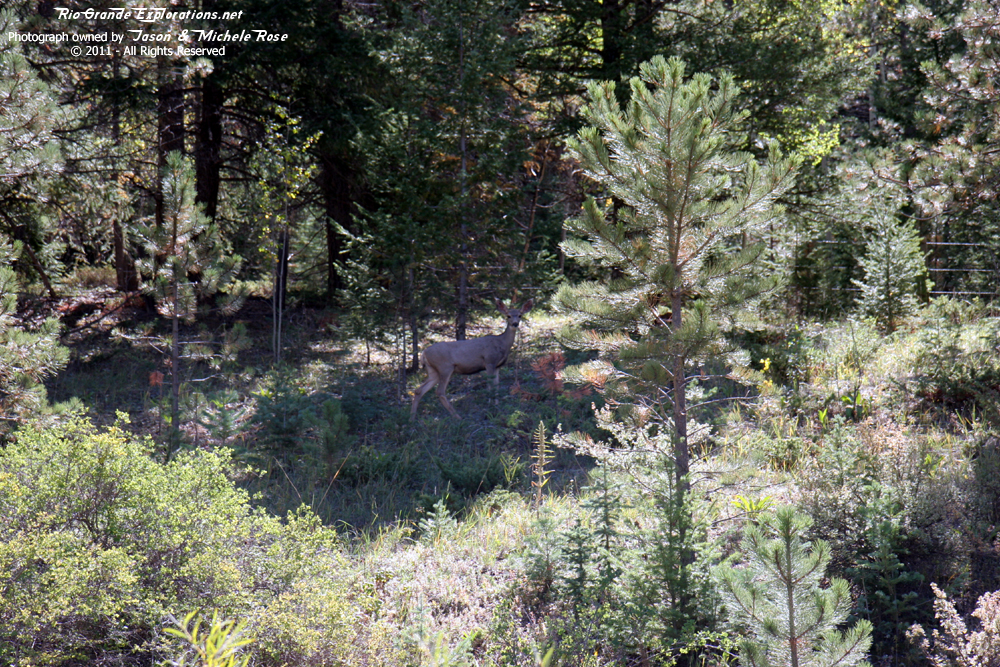
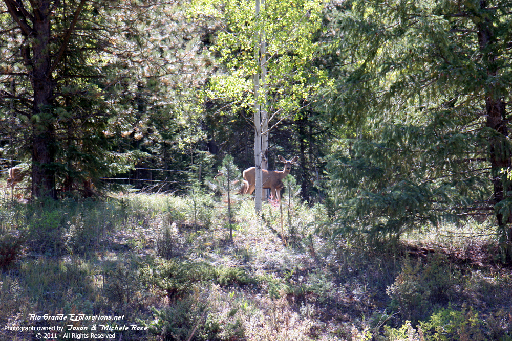
Lots of deer. |
|
|
|
|
|
|
|
|
|
|
|
|
|
|
|
|
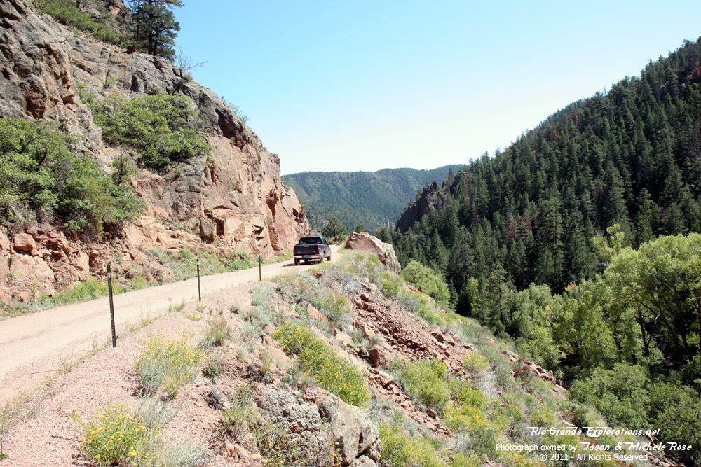
We actually saw another car out down there. Wasn't expecting that. |
|
|
|
|
|
|
|
|
|
|
|
|
|
|
|
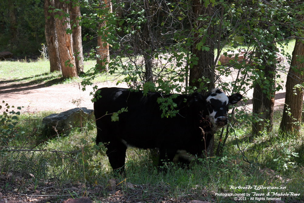
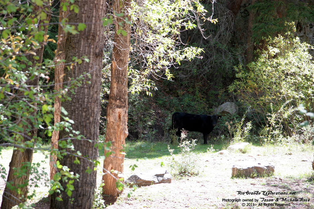
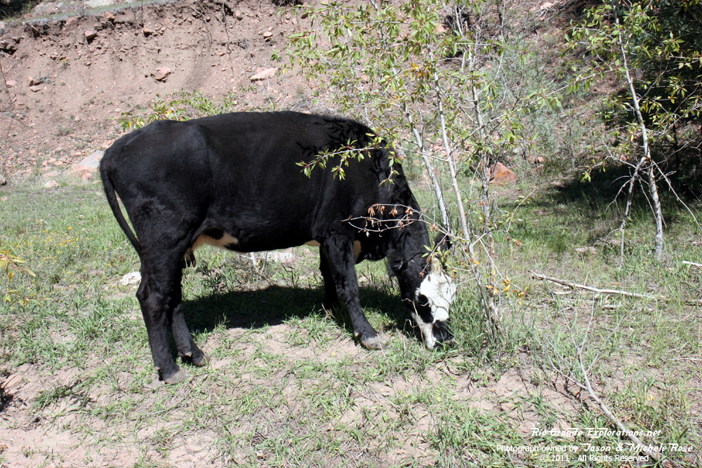
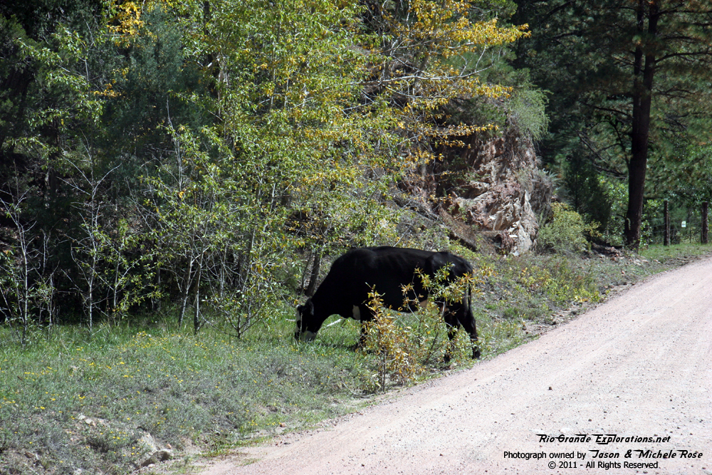
Moo. |
|
|
|
|
|
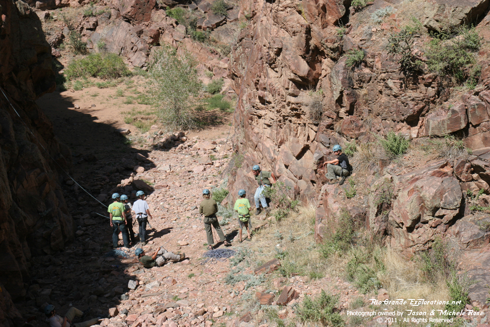
One of the guys that works for my company lives on a ranch near Pueblo. He told me he used to ranch cattle in Phantom Canyon. Sure seems like a LOT of work trying to round up livestock down in that canyon! |
||
|
|
|
|
|
|
|
|
|
|
|
|
|
|
|
|
|
|
|
|
|
|
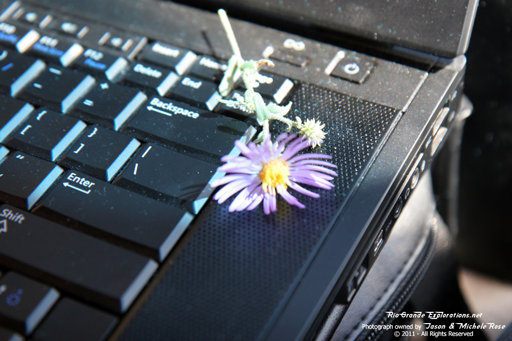
On my many photo stops I'd grab a flower for Michele. This one is sitting on the laptop that's running the GPS program (Delorme Topo 7). |
|
|
|
|
|
|
|
|
|
|
|
|
|
|
|
|
Well |
|
|
|
|
|
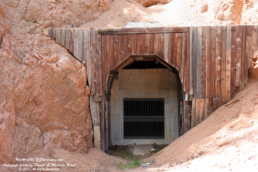
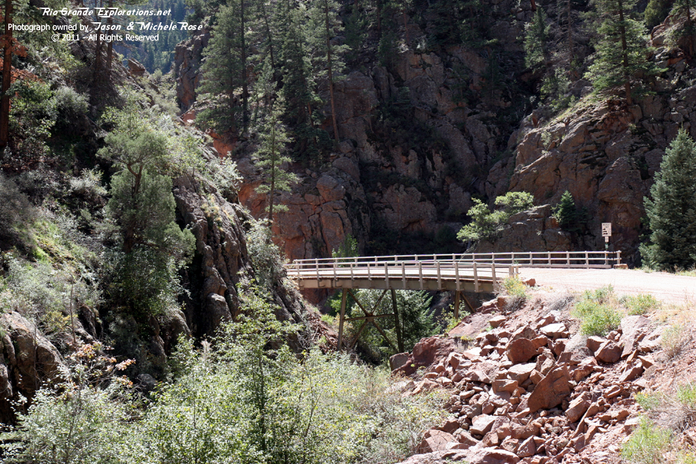
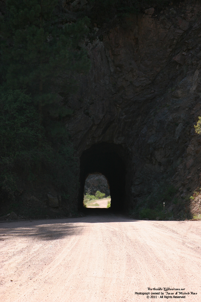
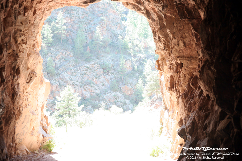
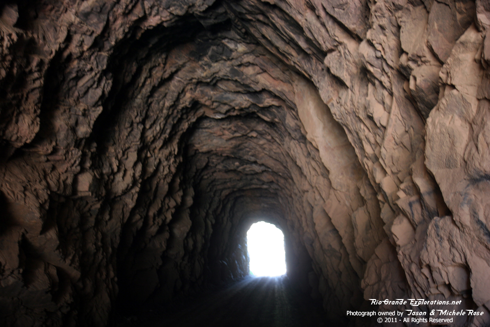
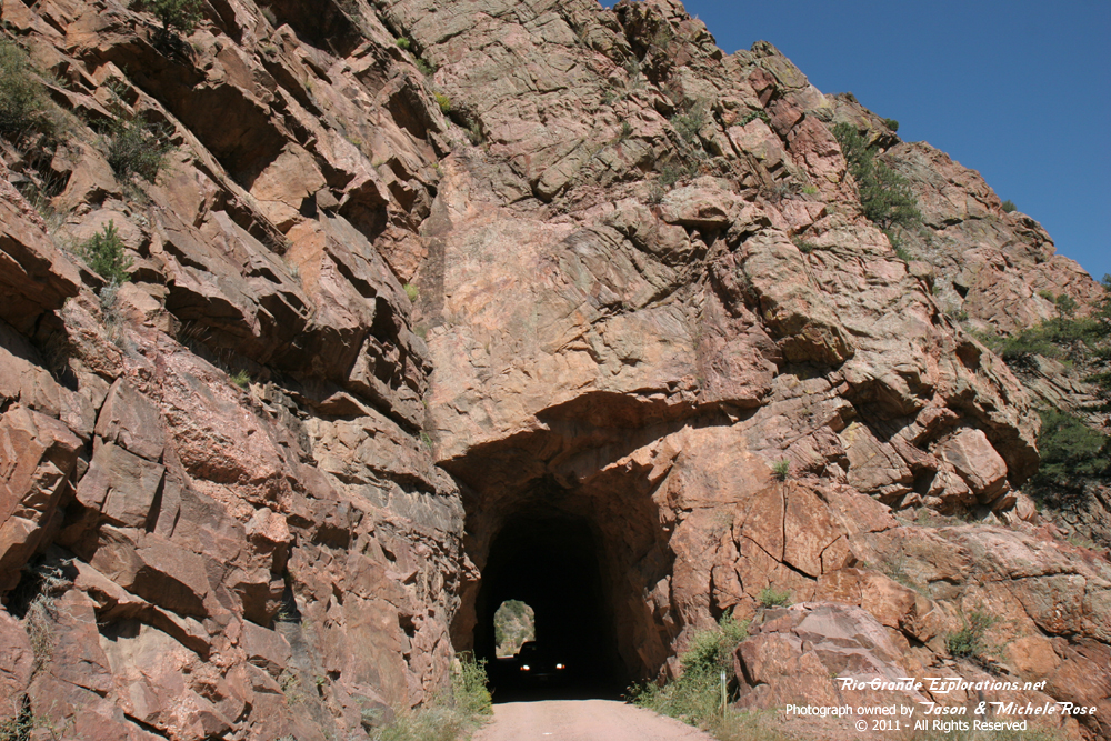
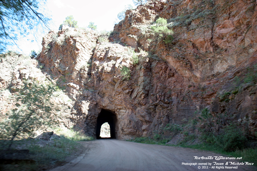
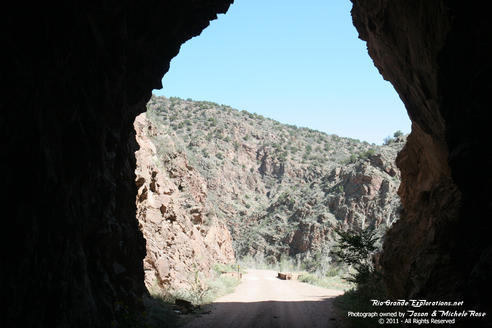
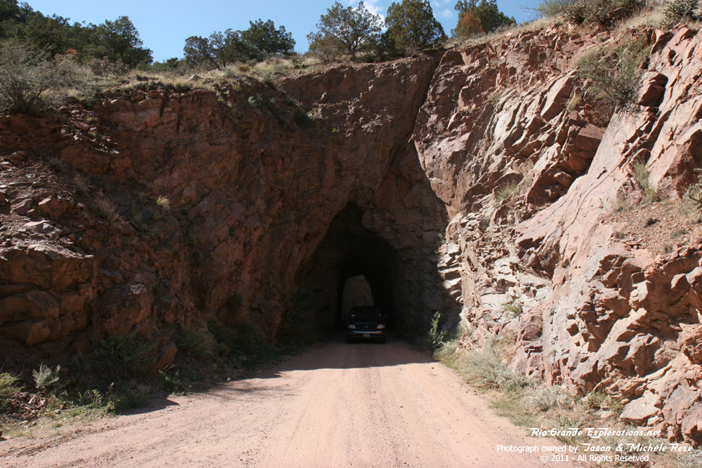
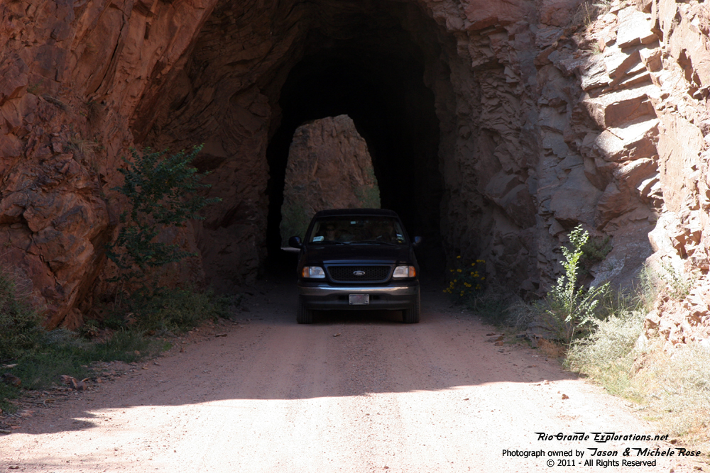
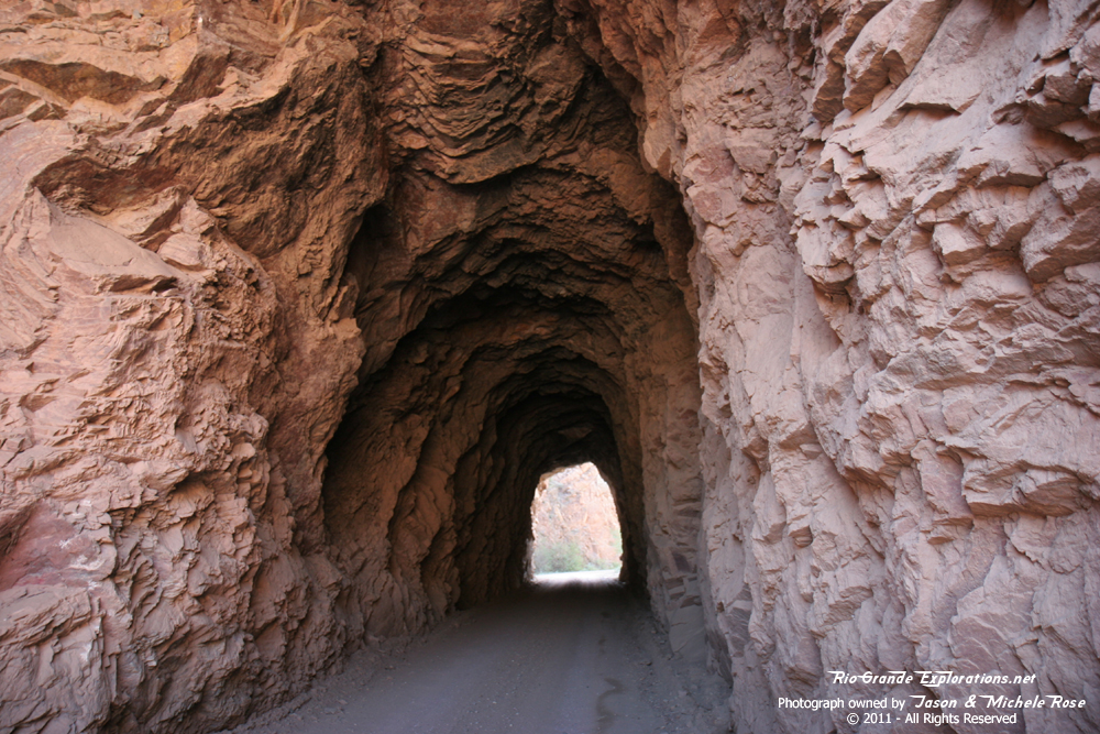
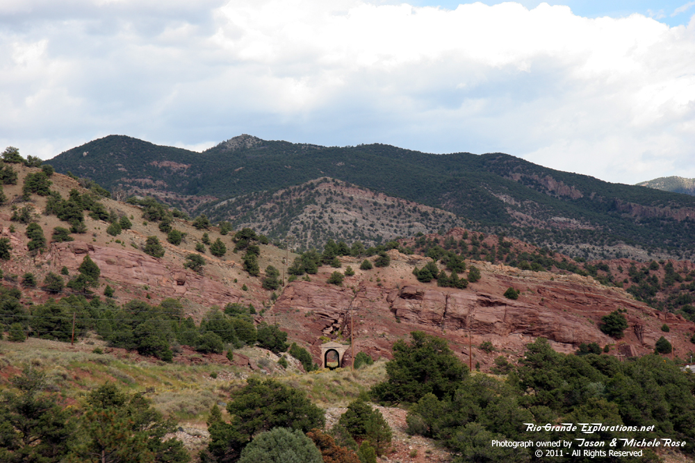
The first of two tunnels built by the railroad. |
||
|
|
|
|
|
|
|
|
|
|
|
|
|
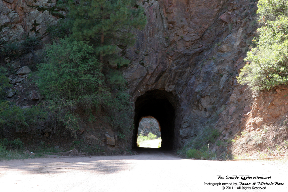
The second tunnel. |
||
|
|
|
|
|
|
|
|
|
|
|
|
|
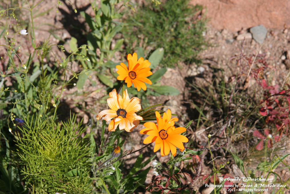
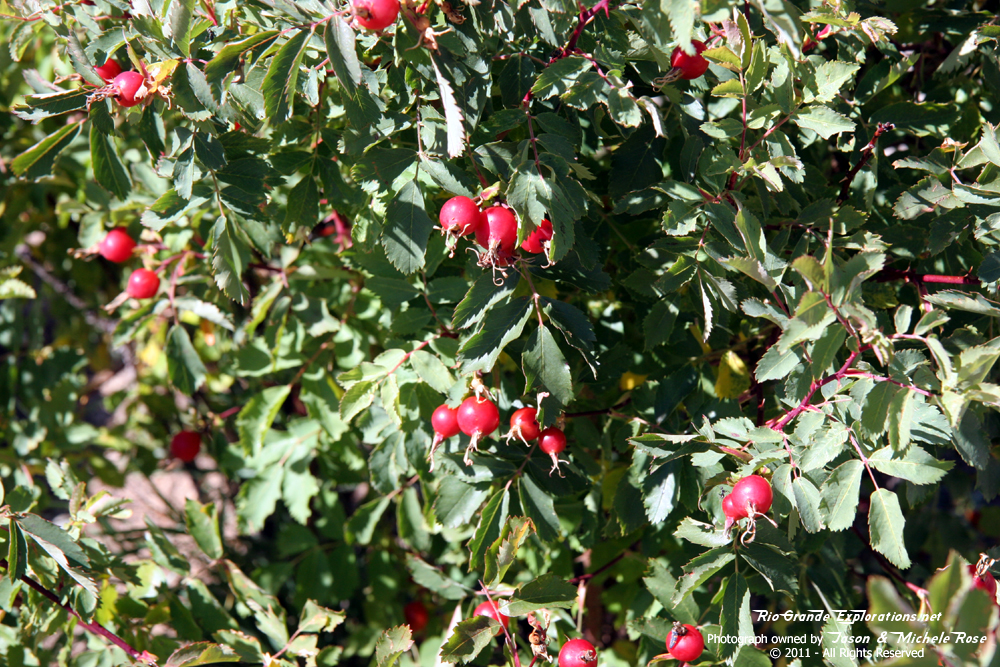
More flowers for Michele. |
|
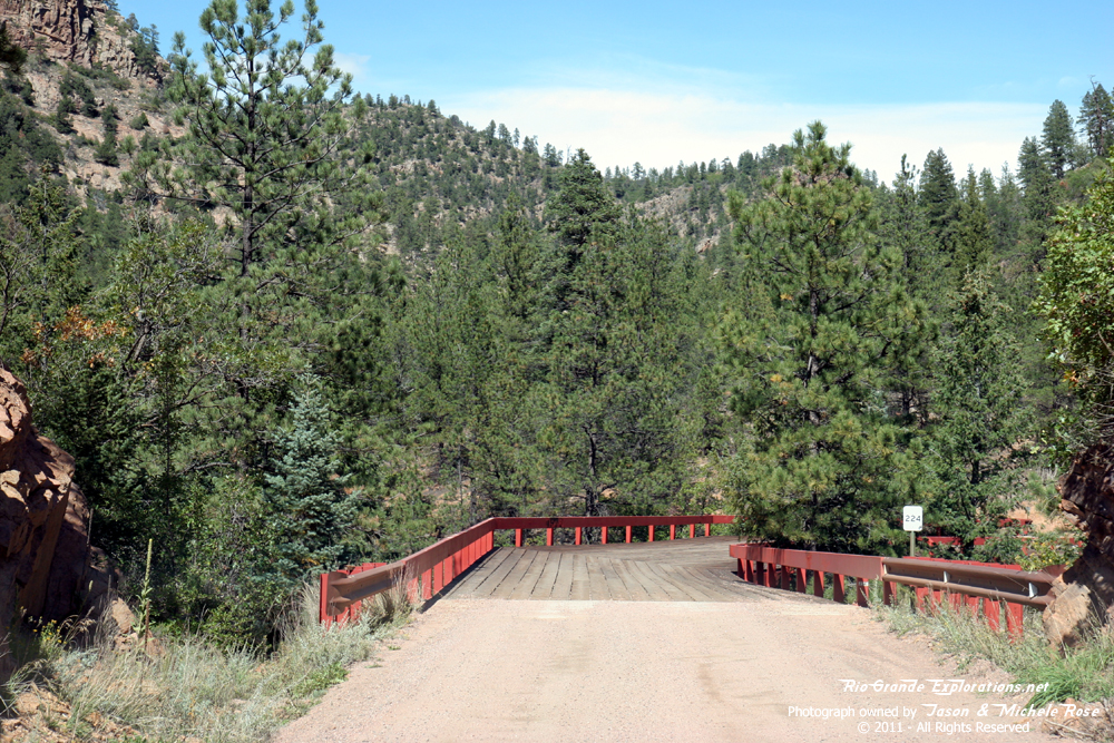
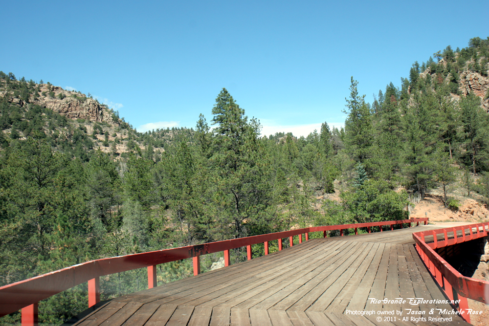
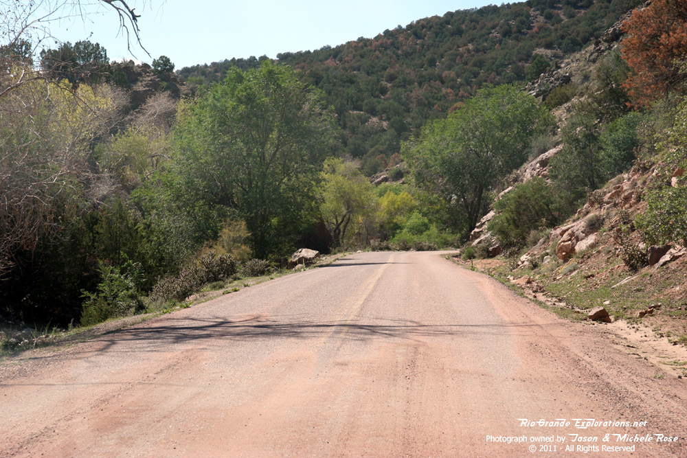
Returning to the pavement. It took about 2 hours to drive the 20 miles. |
|
|
|
|
|
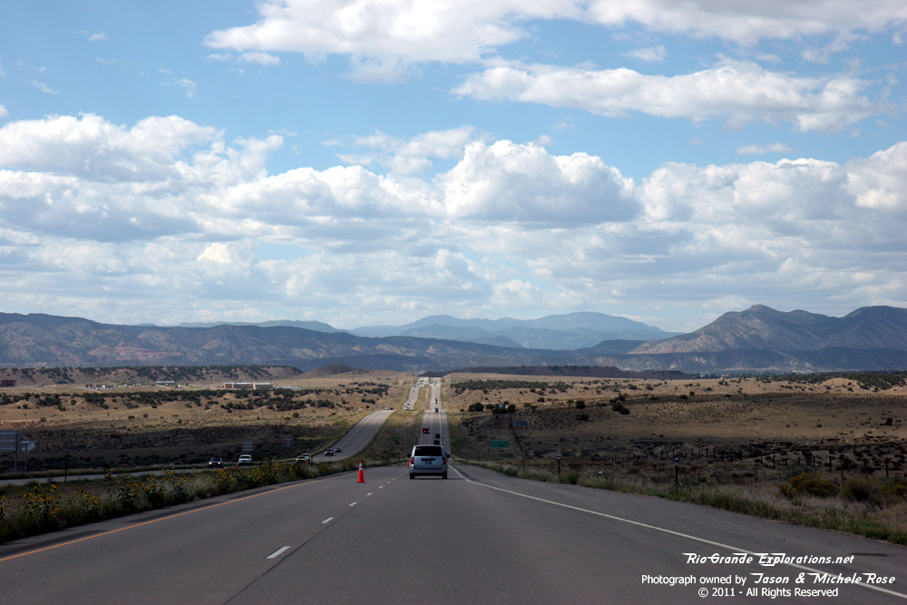
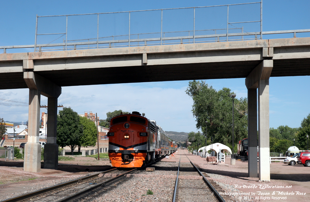
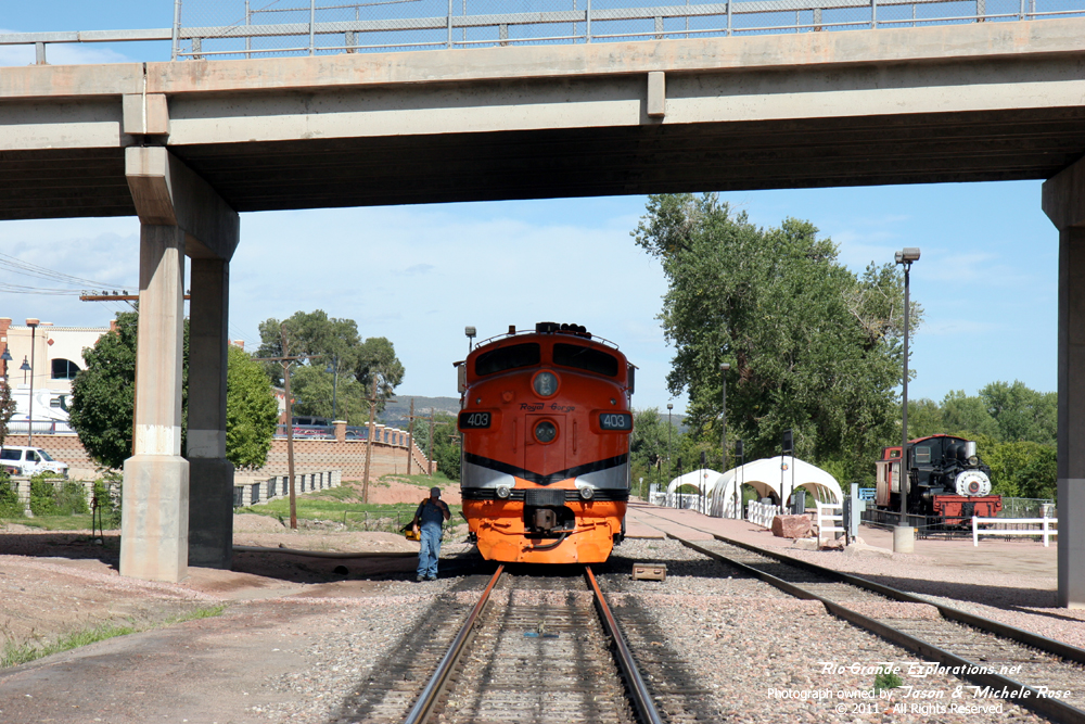
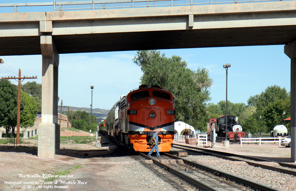
On I-50, racing towards Cańon City. |
|
|
|
|
|
|
|
|
|
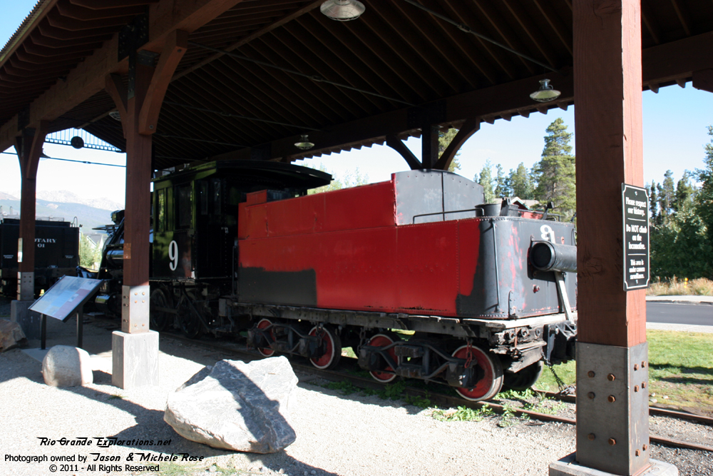
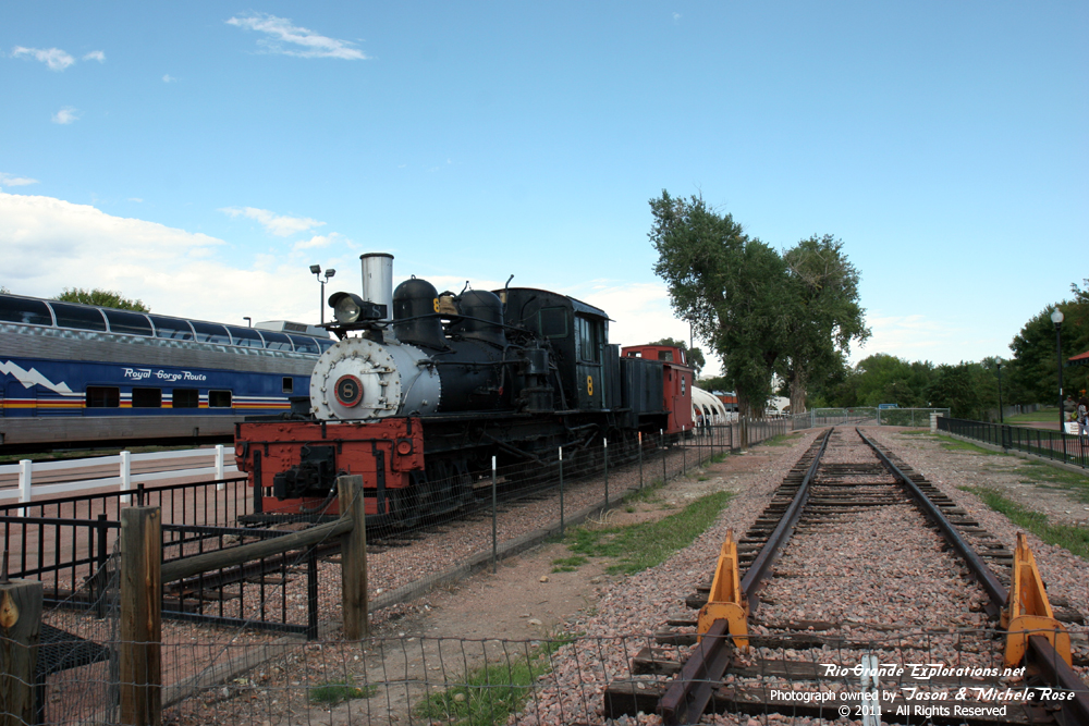
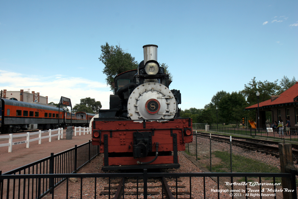
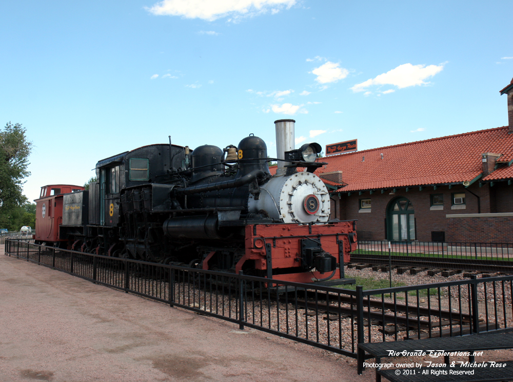
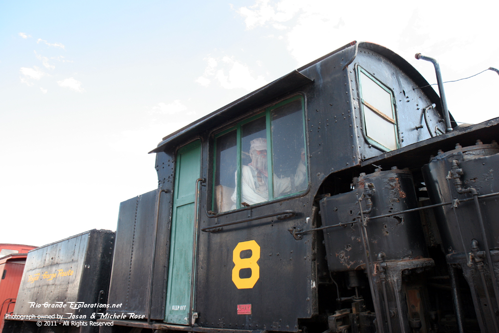
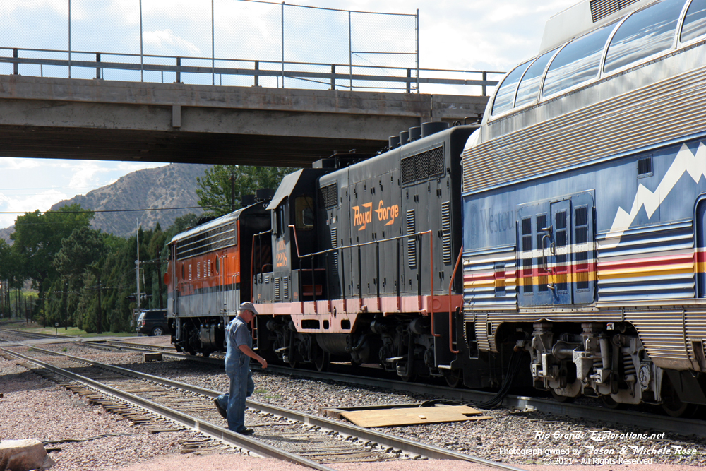
Shay #8 was once on the Georgetown Loop. |
|
|
|
|
|
|
|
|
|
|
|
|
|
|
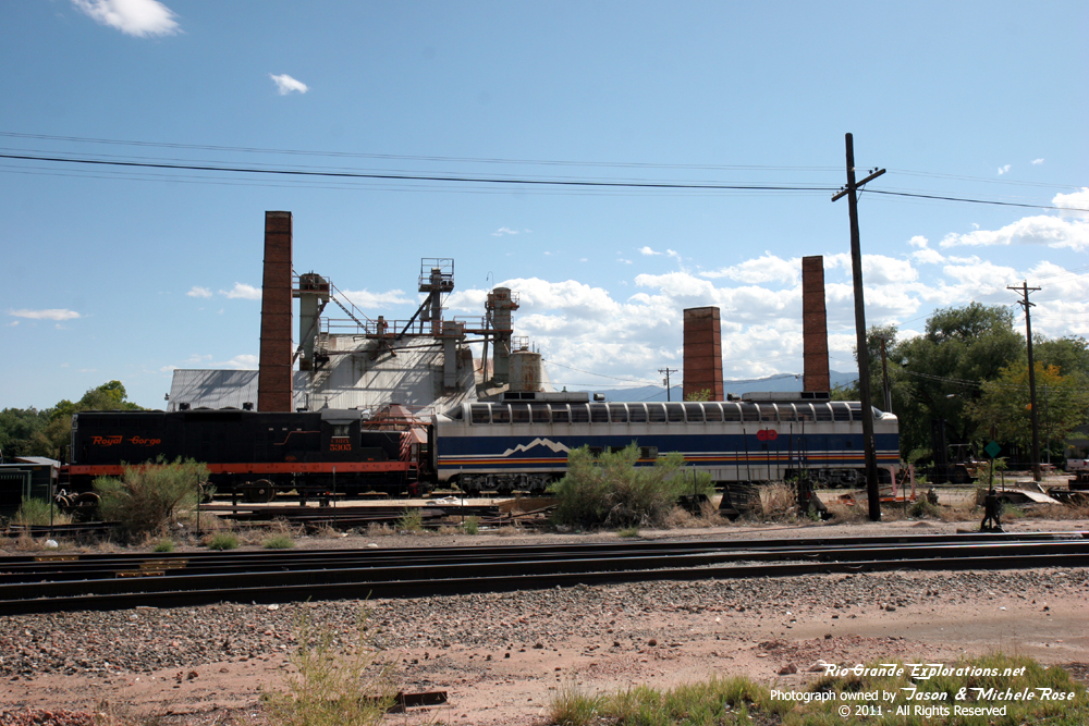
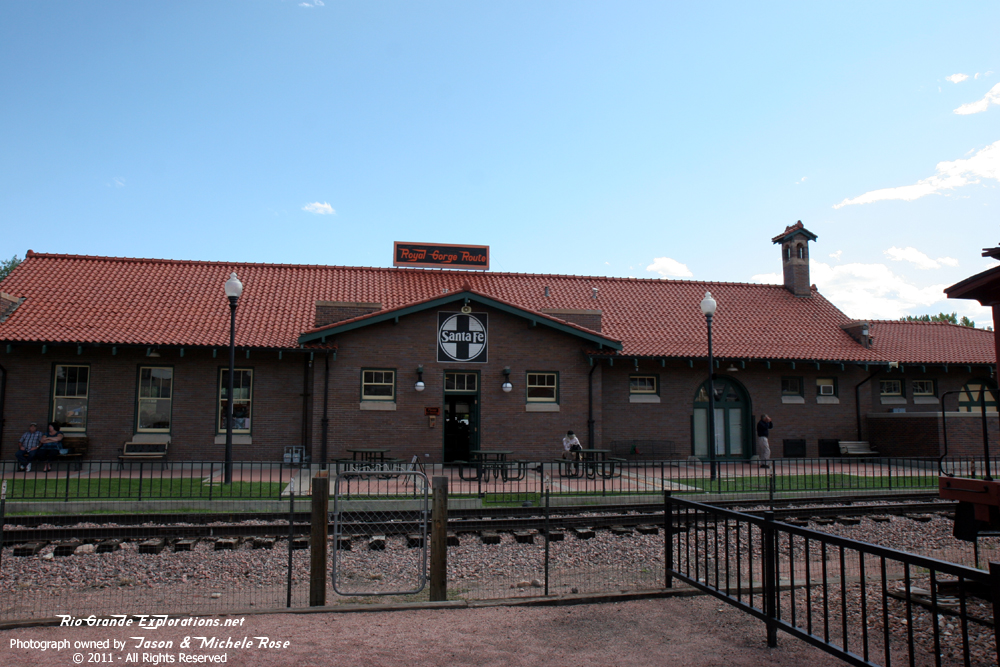
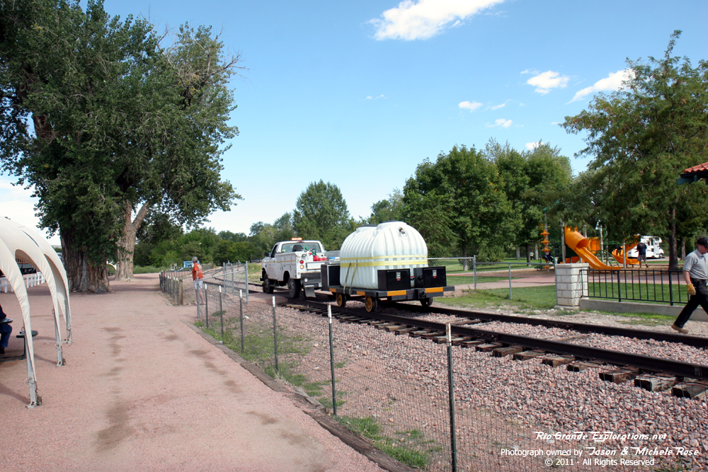
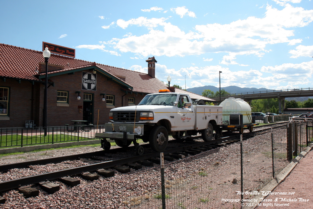
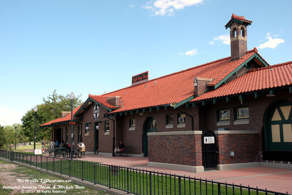
CC&RG Depot |
|
|
|
|
|
|
|
|
|
|
|
|
|
|
|
|
|
|
|
|
|
|
|
|
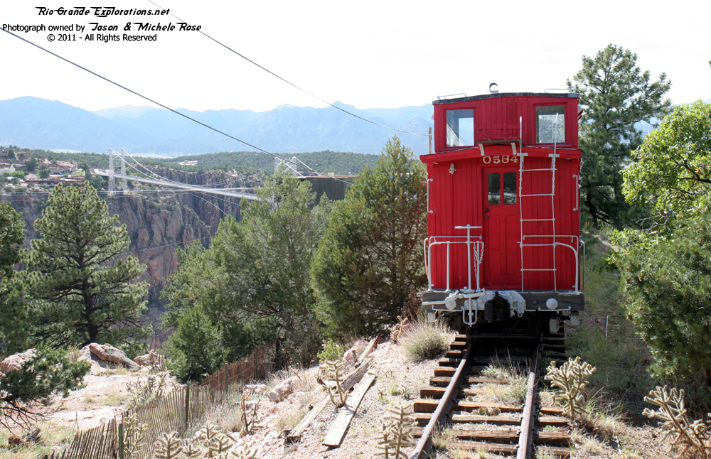
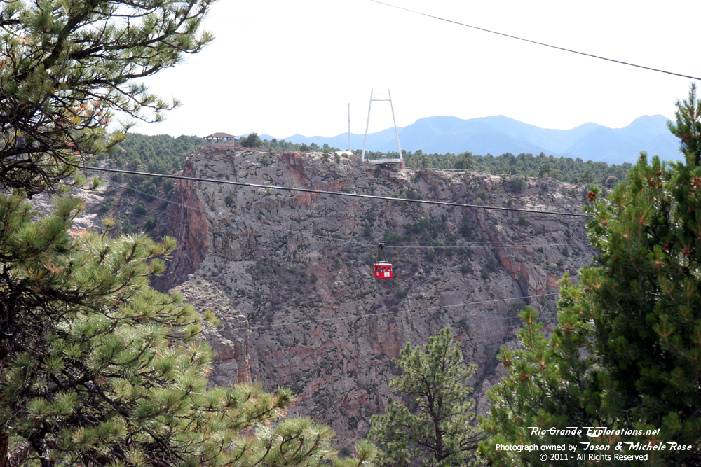
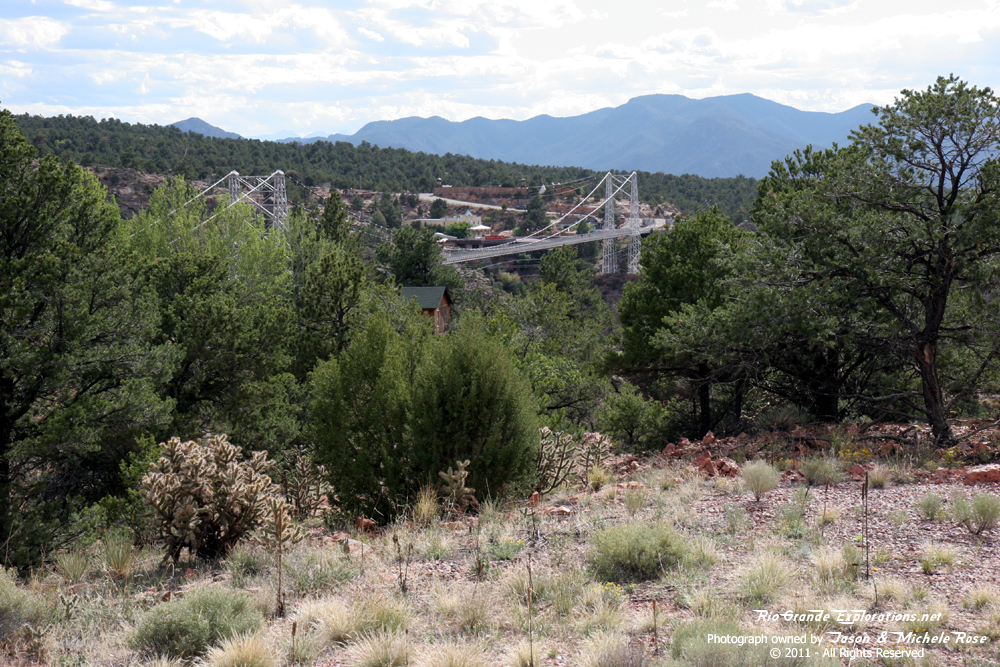
Arriving at the Royal Gorge Bridge |
|
|
|
|
|
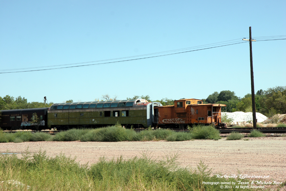
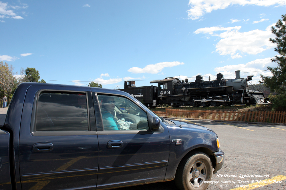
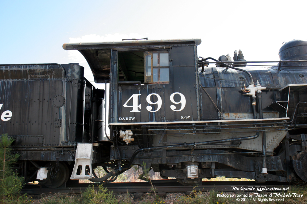
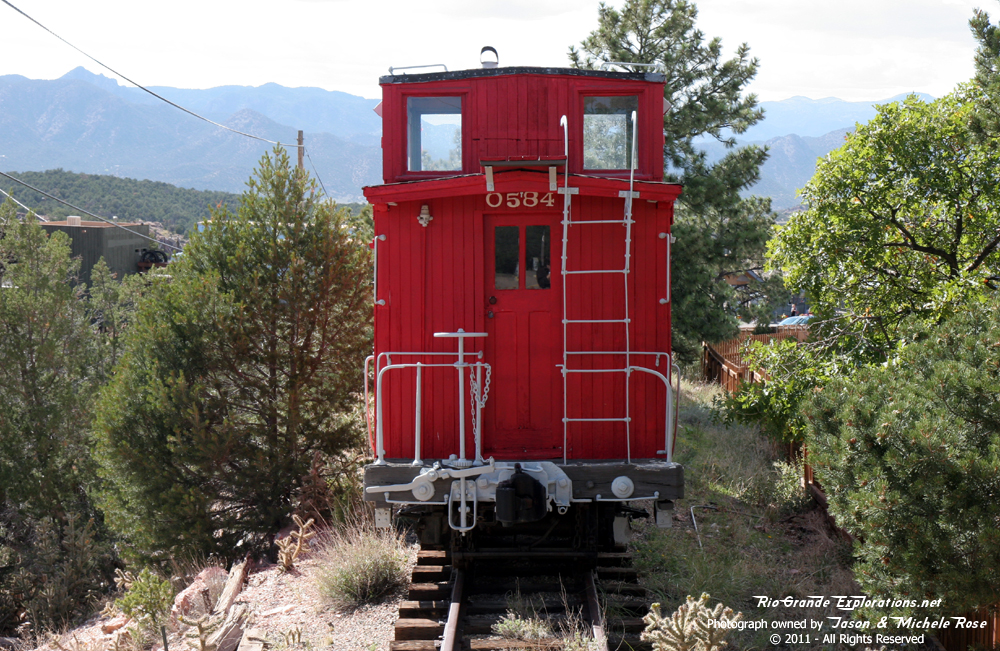
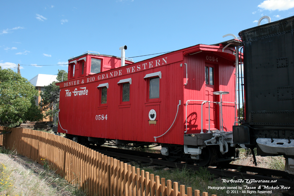
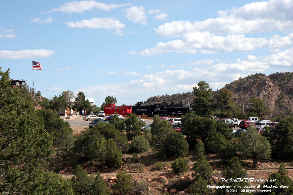
K37 #499 and Caboose 0584 are marooned here. |
||
|
|
|
|
|
I'm grateful she's been painted... but couldn't they get the color right? |
|
|
|
|
|
|
|
I believe this is the last summer for the |
|
|
|
|
|
|
|
|
|
|
|
|
|
|
|
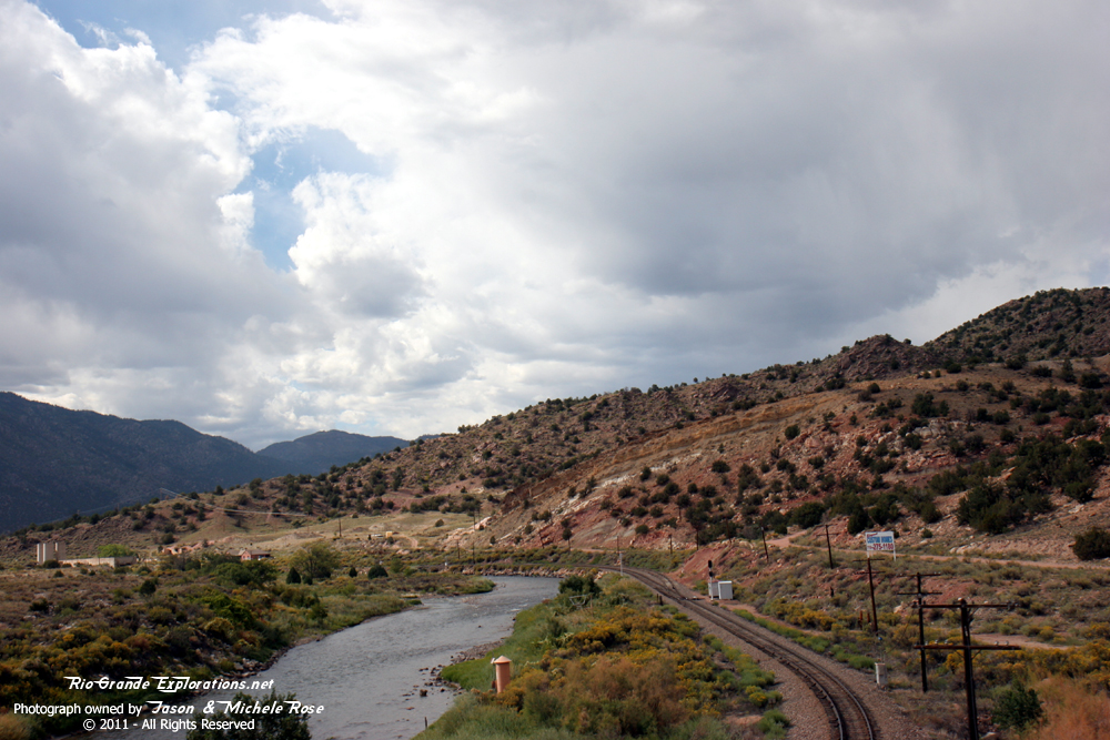
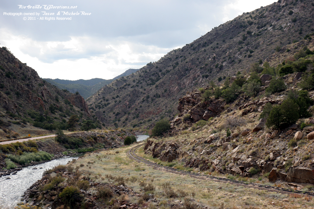
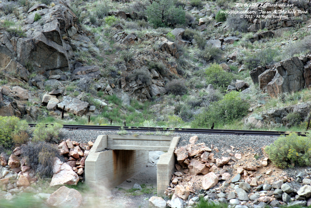
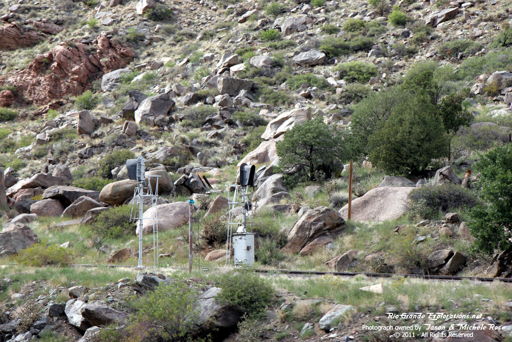
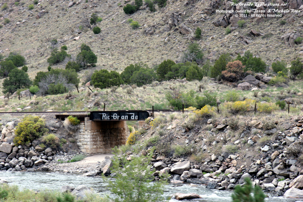
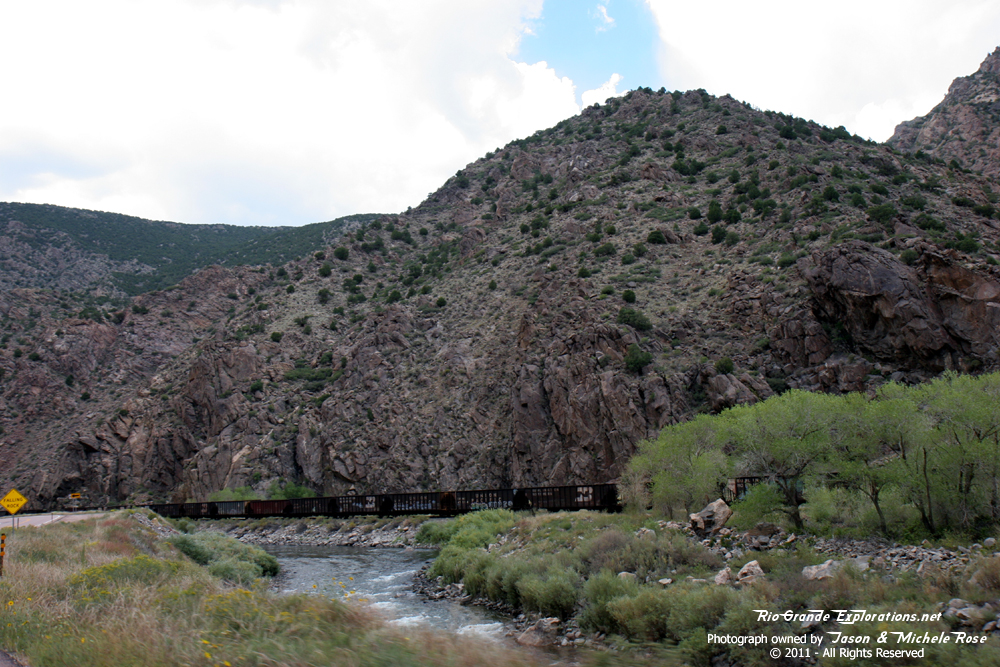
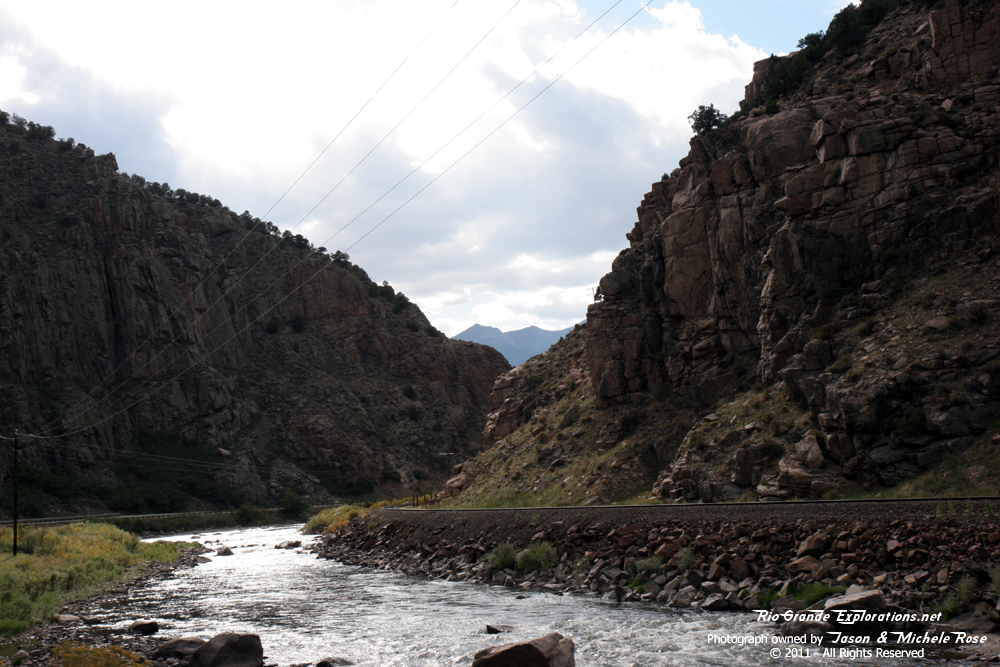
Heading down into the Arkansas River valley and along the old Tennessee Pass Mainline. |
||
|
|
|
|
|
|
|
|
|
|
|
|
|
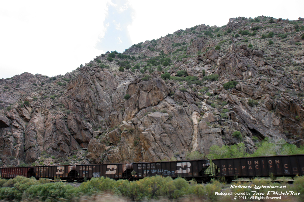
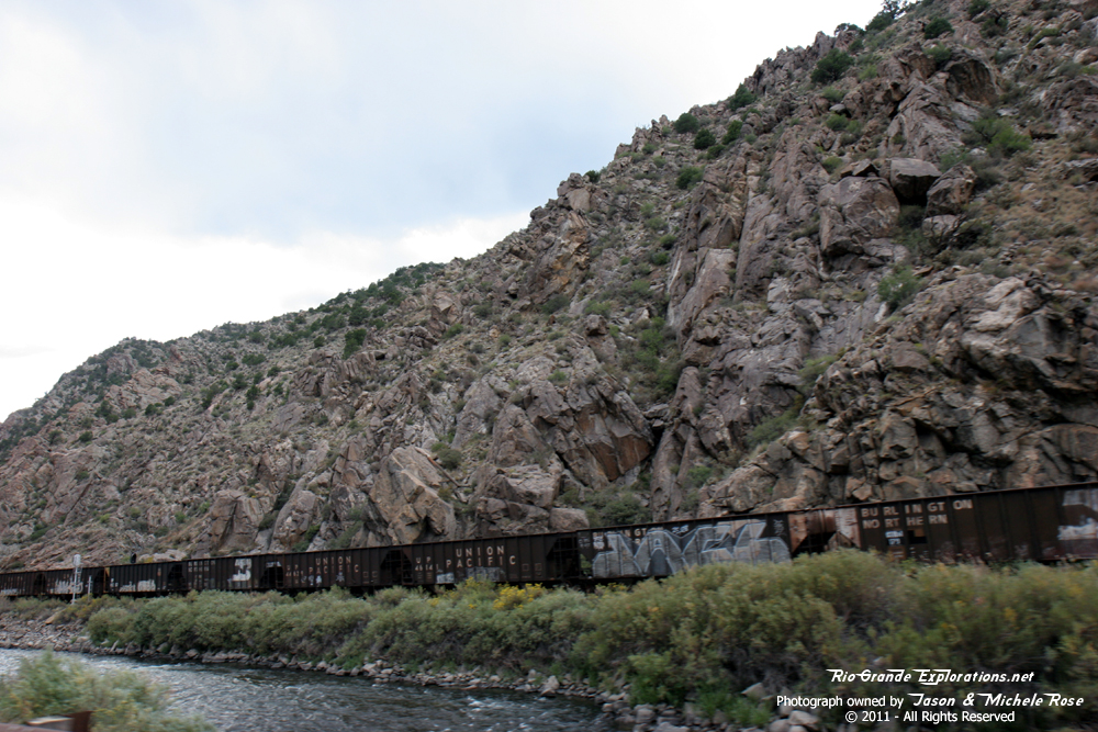
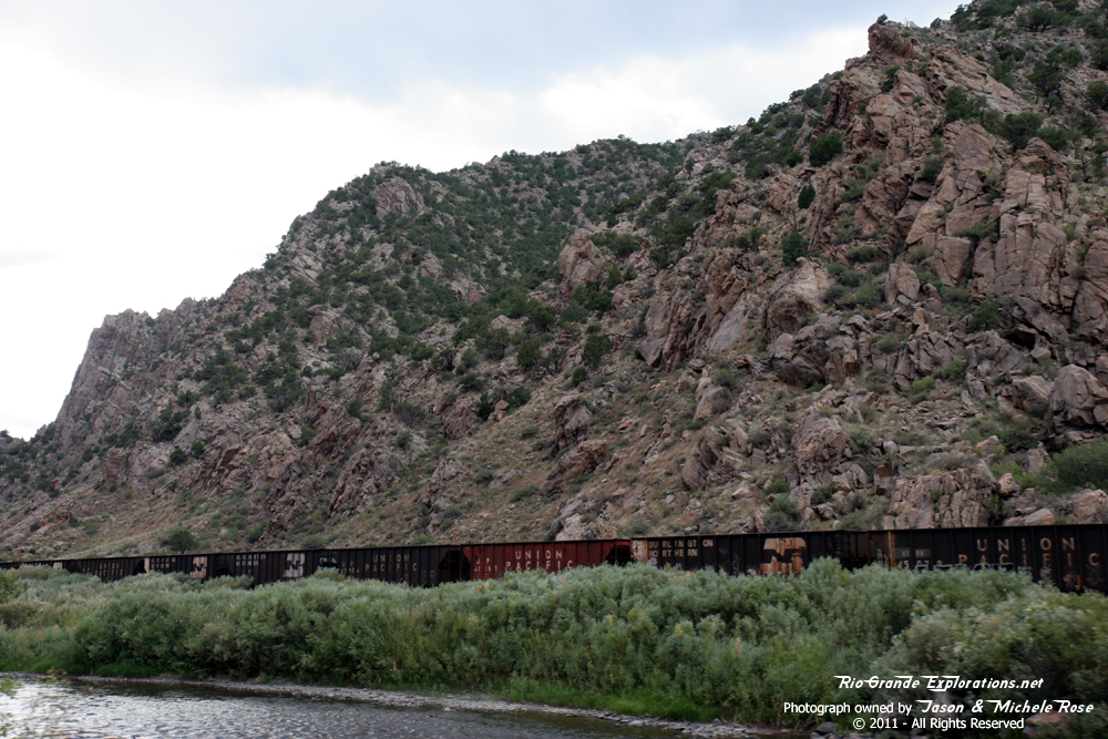
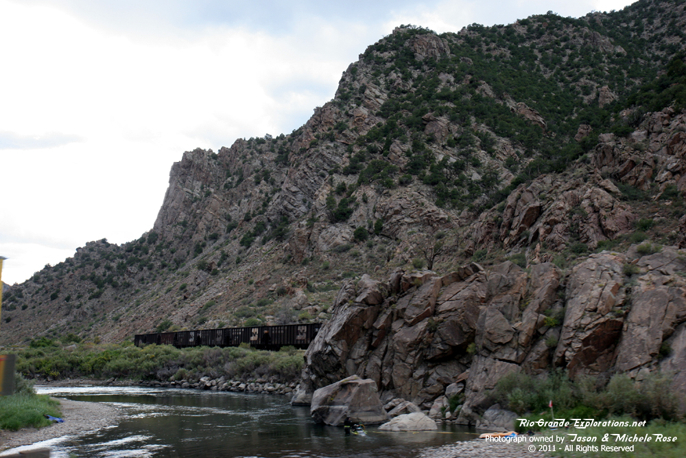
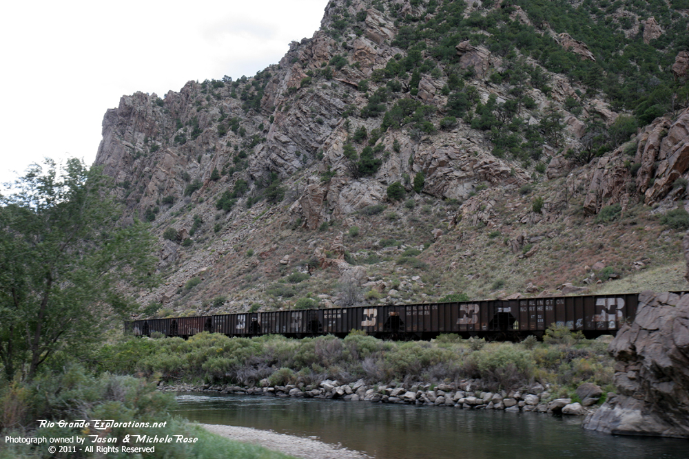
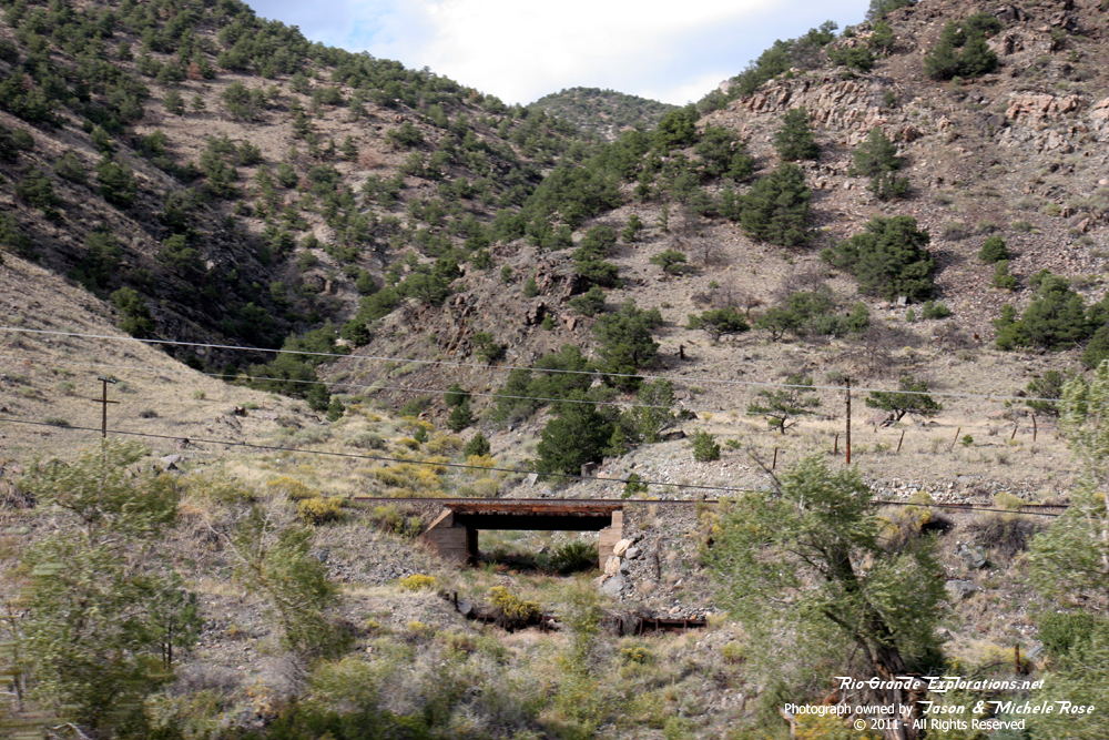
Remnants of the past. |
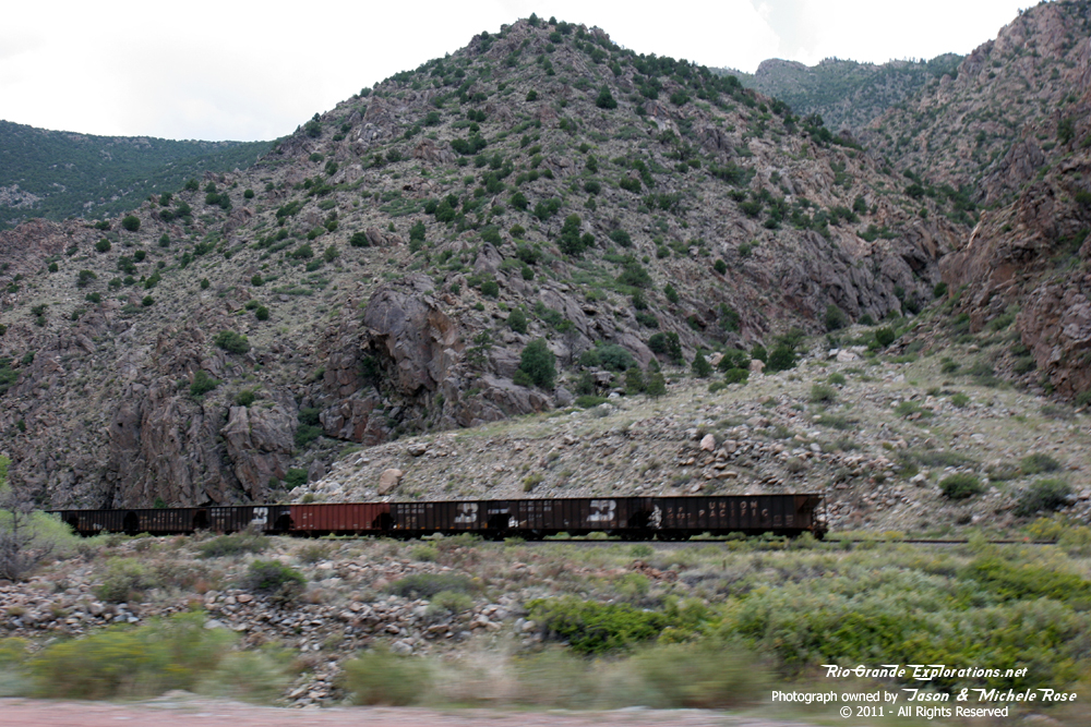
Union Pacific is storing quite a string of coal hoppers out here. |
|
|
|
|
|
|
All of these were Burlington Northern and Union Pacific. No Rio Grande. Very sad. |
||
|
|
|
|
|
|
|
|
|
|
|
|
|
|
|
|
|
|
|
|
|
|
|
|
|
|
|
|
|
|
|
|
|
|
|
|
|
|
|
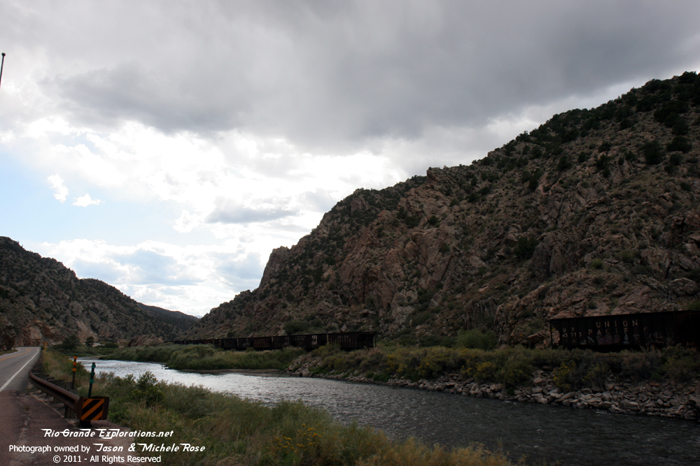
Blowing through Salida. |
|
|
|
|
|
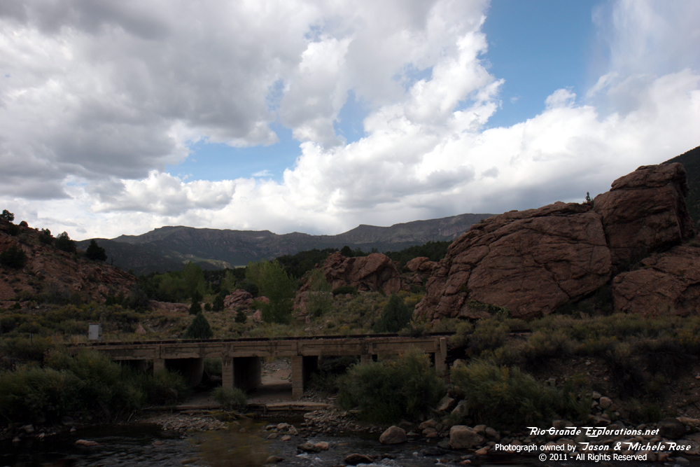
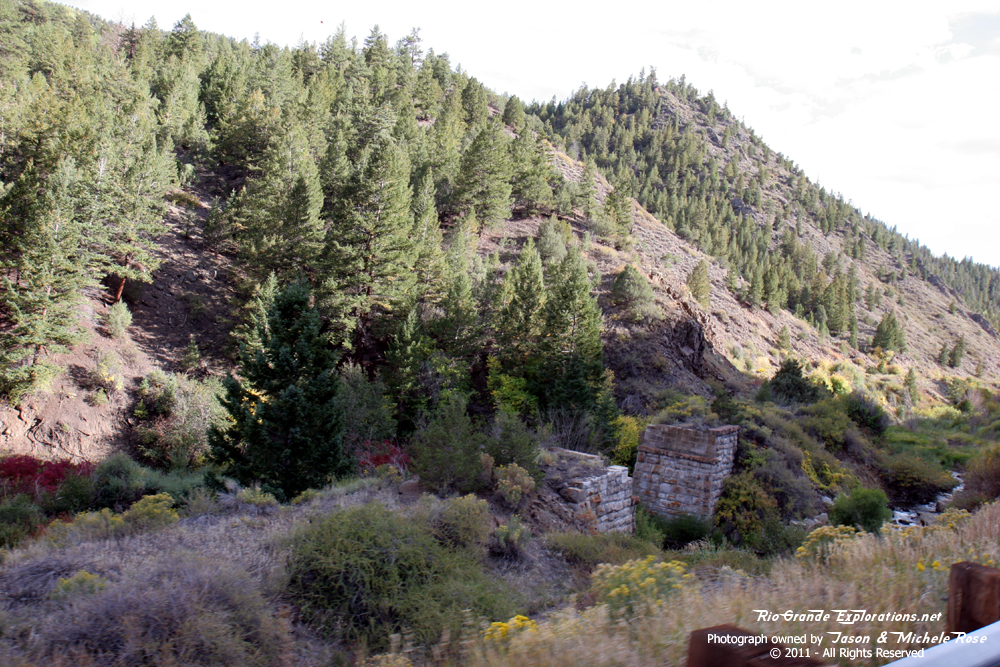
Grade between Poncha Jct and Mears Jct. |
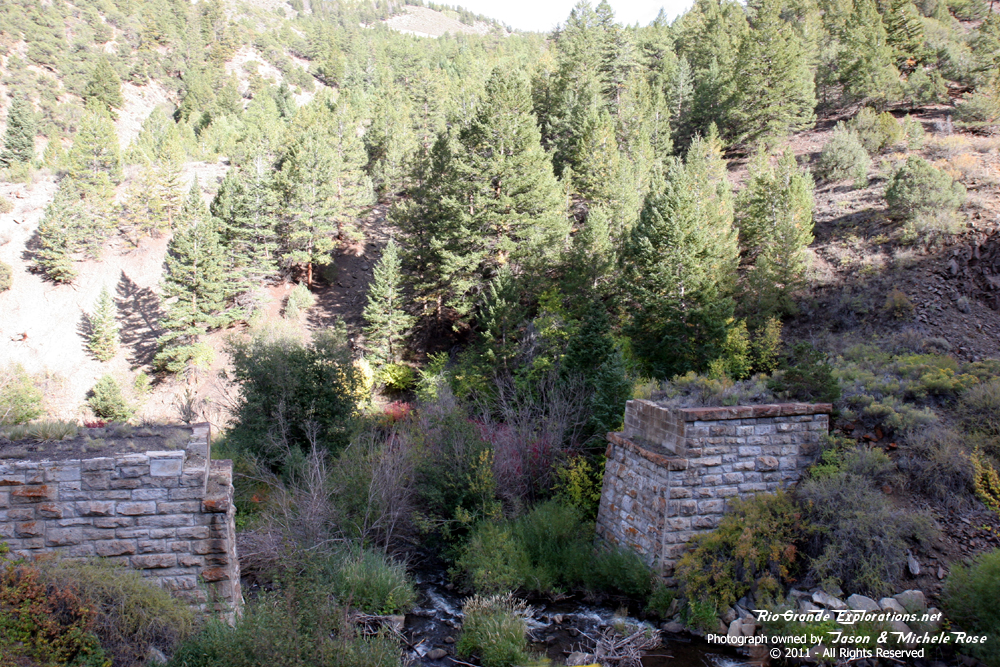
Bridge abutments south of High 285 between Poncha Jct and Mears Jct.
|
|
|
|
|
|
|
|
Mears Jct as seen from Hwy 285. |
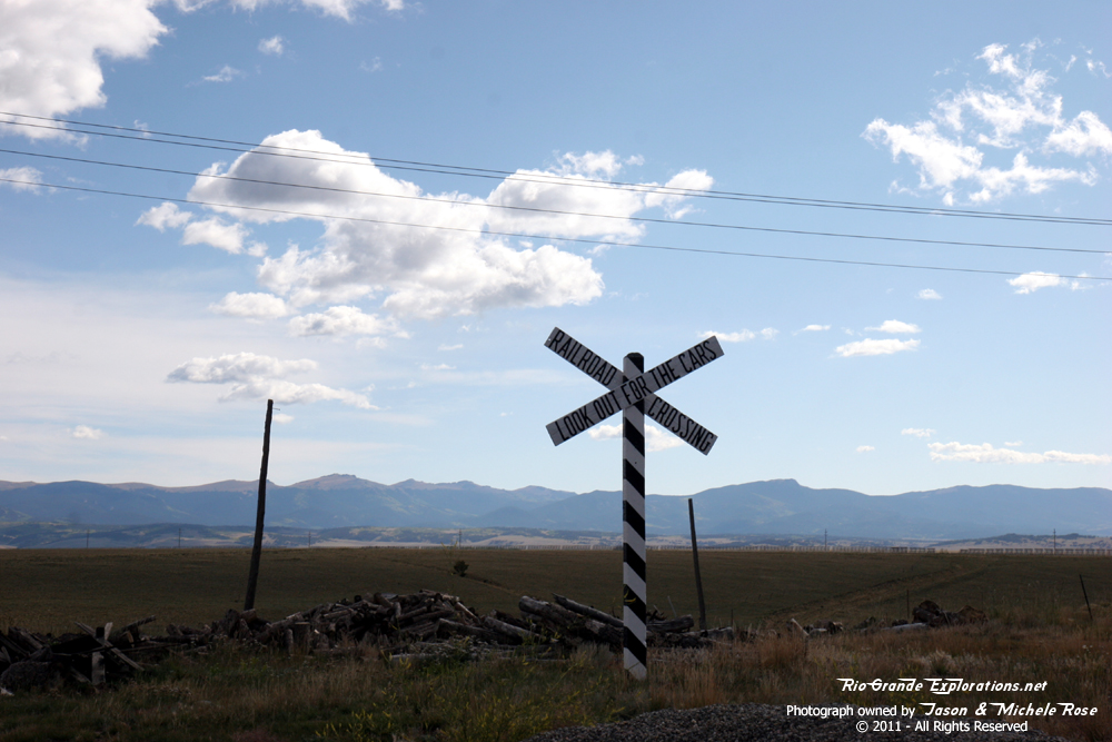
Grade going over Poncha Pass. |
|
|
|
|
|
Grade coming down Poncha Pass and crossing Hwy 285. |
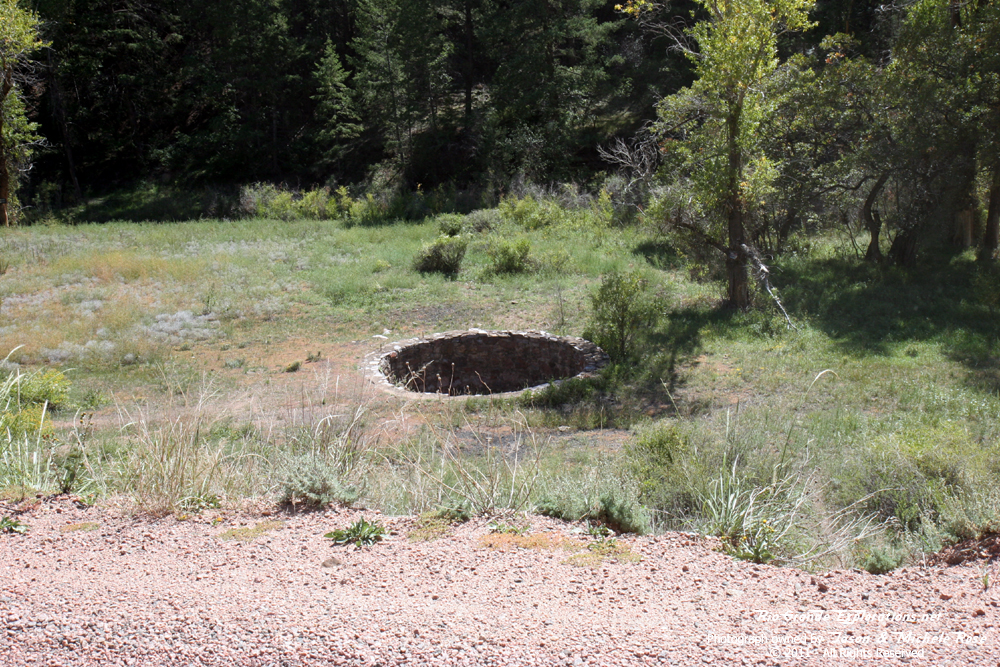
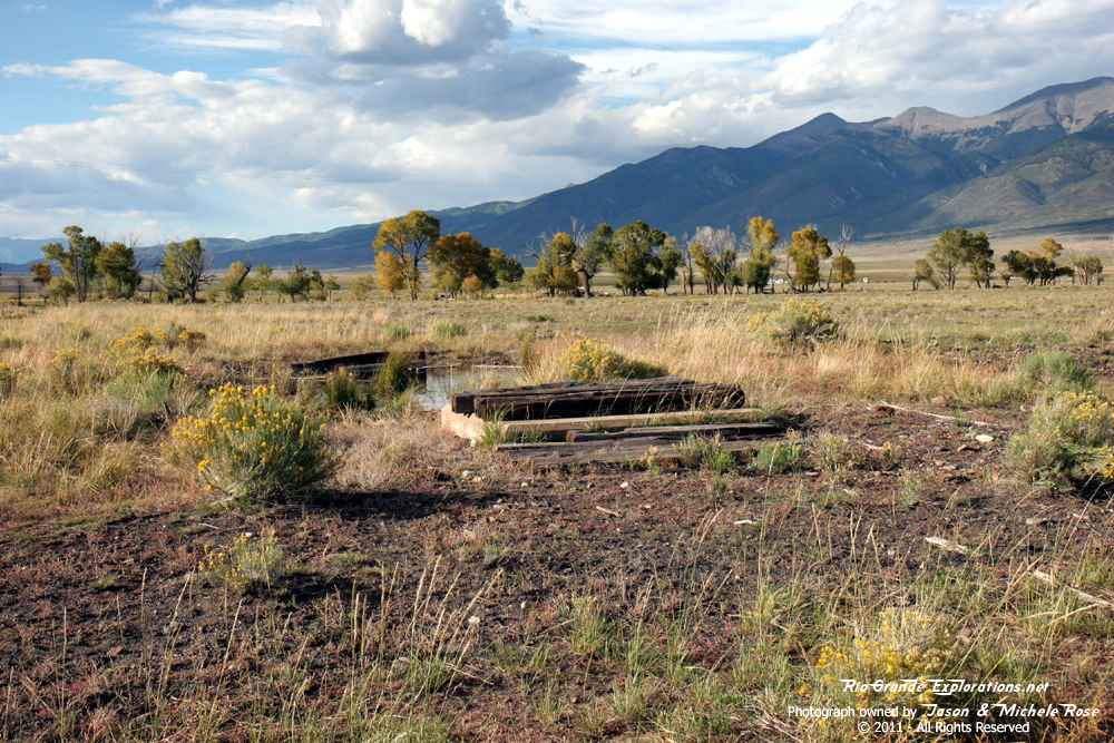
The base of Round Hill Tank. |
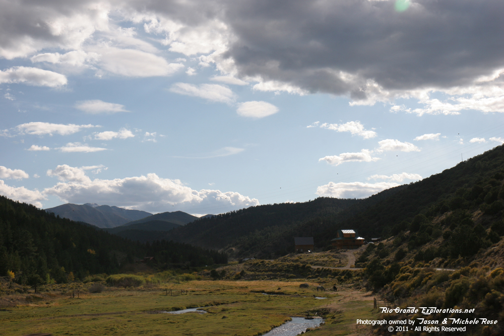
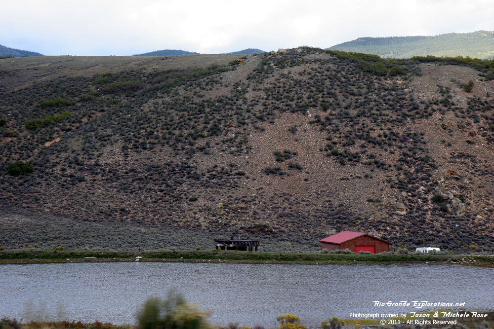
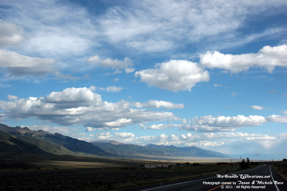
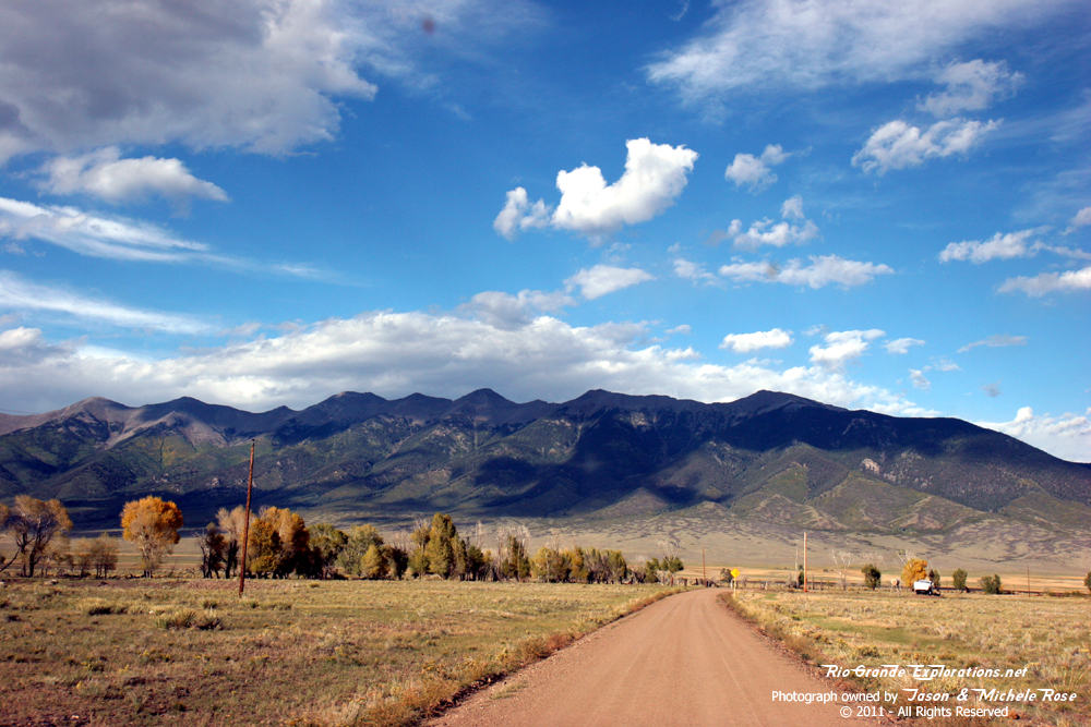
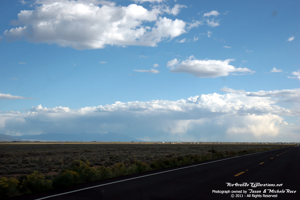
The vast San Luis Valley. |
|
|
|
|
|
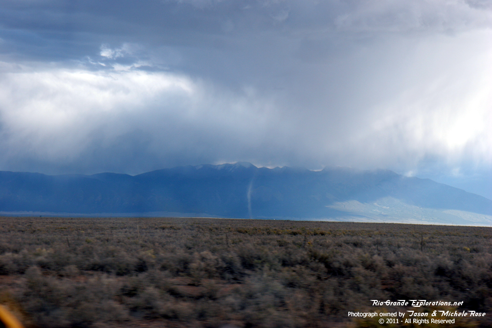
I believe this is the remains of the Villa Grove Tank. |
Driving towards the Sangre de Cristo (Blood of Christ) mountain range trying to find a place to turn around east of Villa Grove. |
|
|
|
|
|
|
|
Dirt Devil / Mini-Tornado |
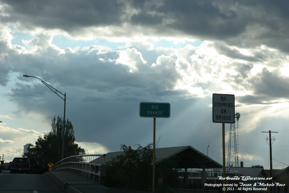
Alamosa at last! |
|
|
|
|
|
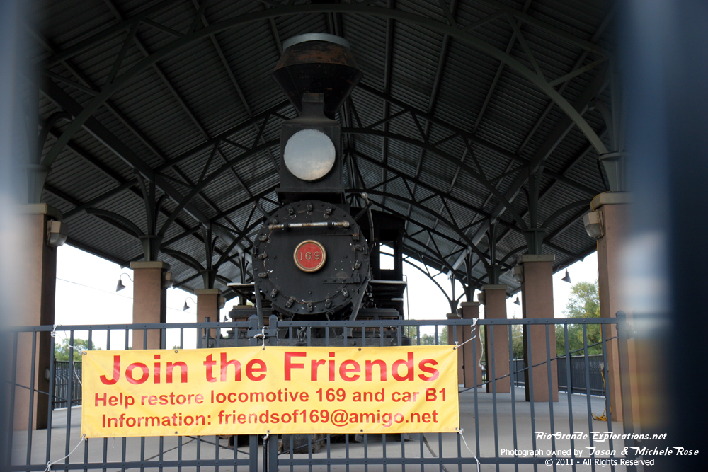
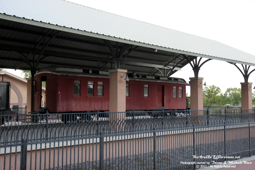
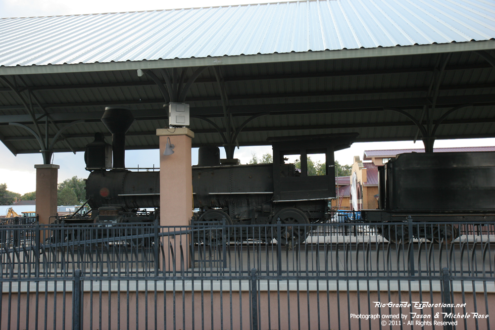
DRGW T-12 #168 and Business Car B1 in Alamosa. |
||
|
We spent the night at the Holiday Inn Express just west on town on Highway 160, just across from the Creede Branch. This was easily the highest quality hotel we've used in Colorado (outside of Denver). Michele was really diggin' it. |
||


|
|