|
|
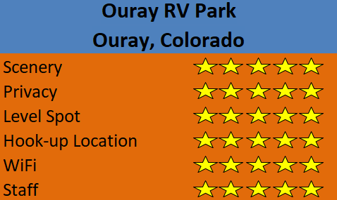
||||||||||||||
|
RV Trip to the High Mountains Day 11 - October 2, 2018 Ouray - Box Canyon Falls - Ridgway - Cimarron - Monarch Pass - Chalk Creek |
||||||||||||||
|
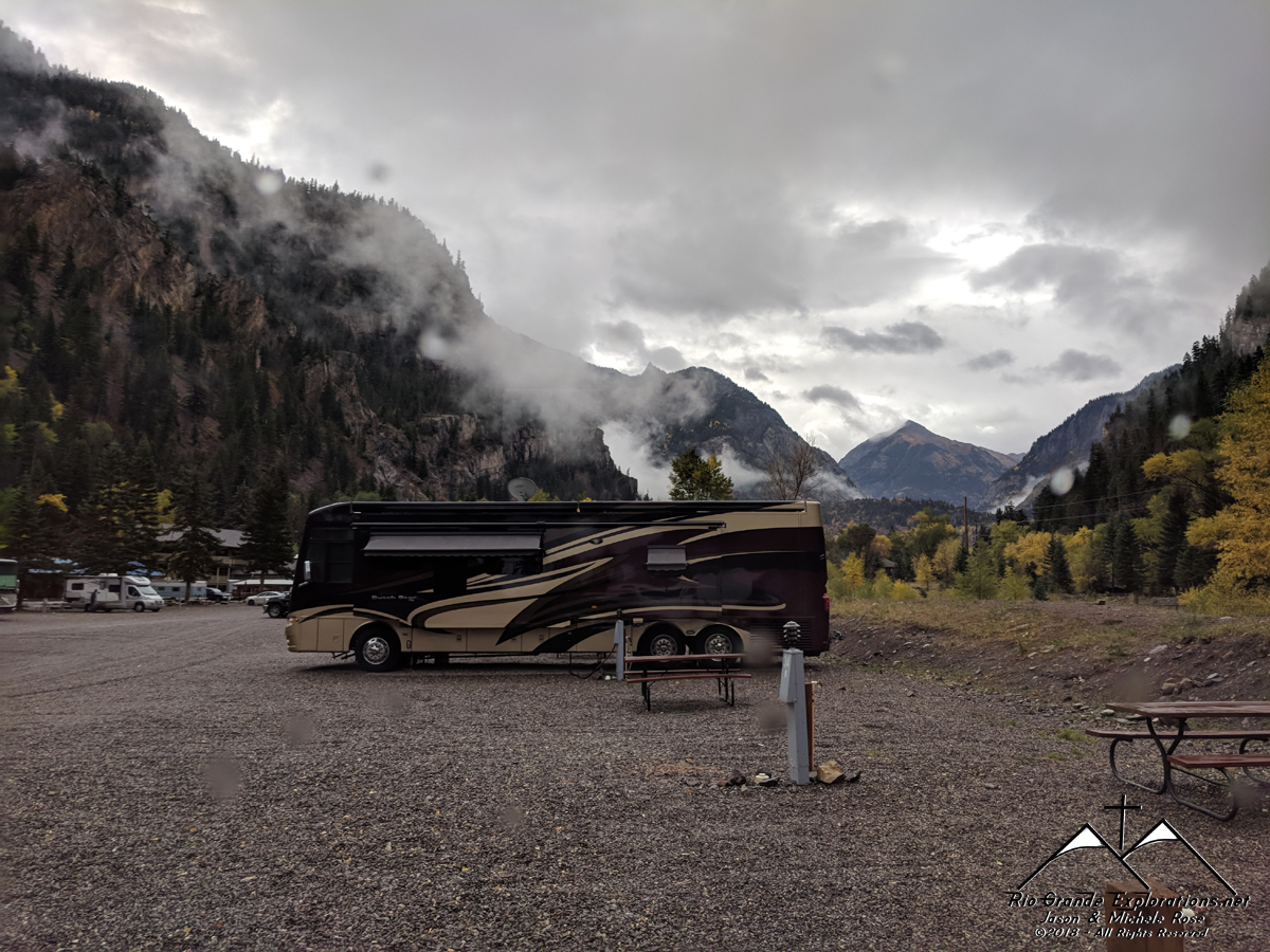
We all wanted to explore Ouray a bit, but we had a packed schedule this day and a lot of miles to cover. The weather wasn't cooperating, but the rain wasn't severe and several of the photos are simply amazing due to the inclement weather. All-in-all, it was a beautiful day and we had a good time.
|
||||||||||||||
|
|
||||||||||||||
|
|
||||||||||||||
|
|
||||||||||||||
|
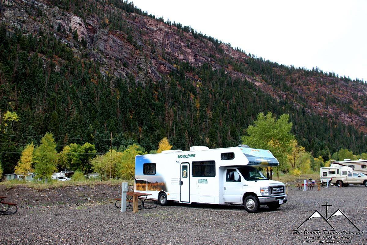
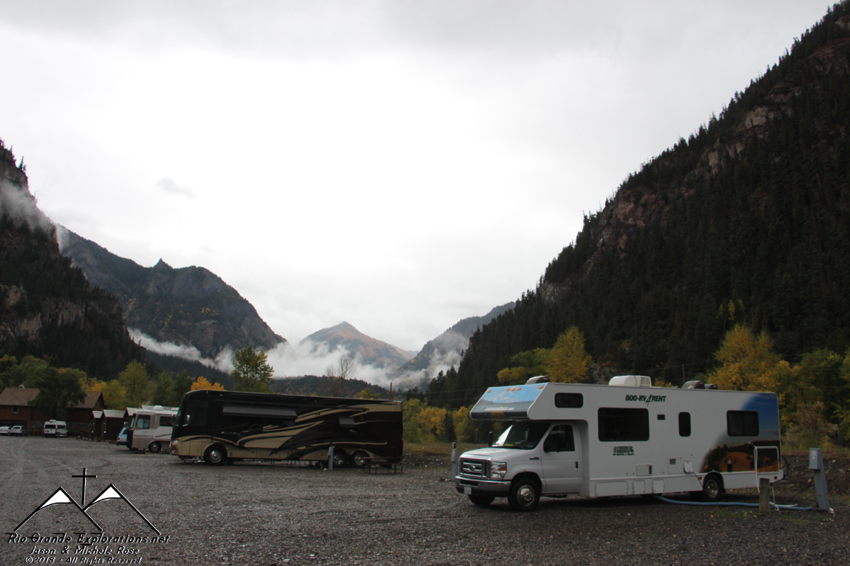
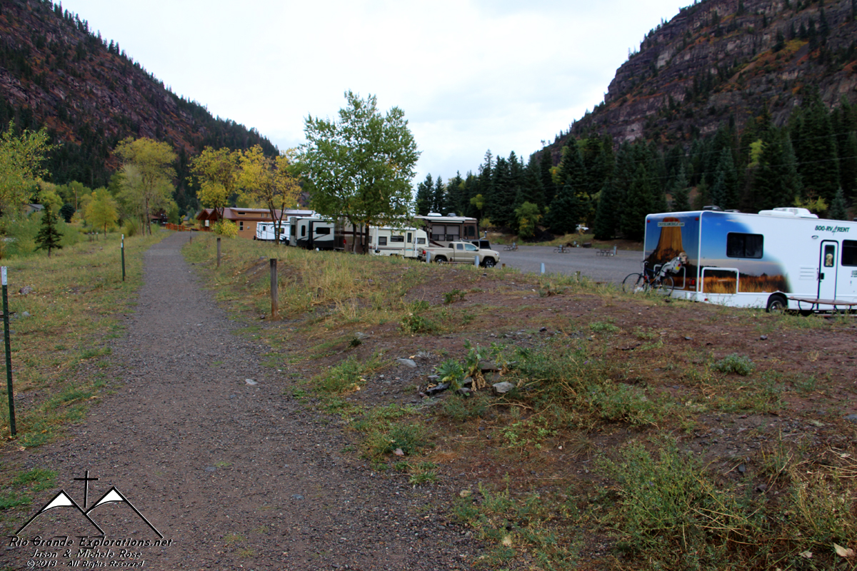
We got started fairly early and Daddy got out even earlier for some photos. The RV Park in Ouray is nice. No shade or cover, but the scenery and proximity to the Uncompahgre River more than make up for that.
|
||||||||||||||
|
|
||||||||||||||
|
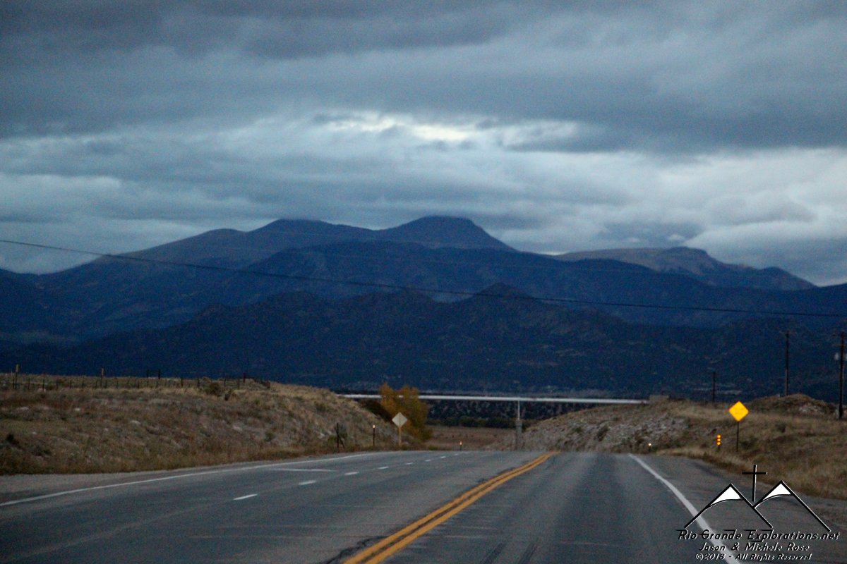
Looking north towards Red Mountain Pass.
|
||||||||||||||
|
|
||||||||||||||
|
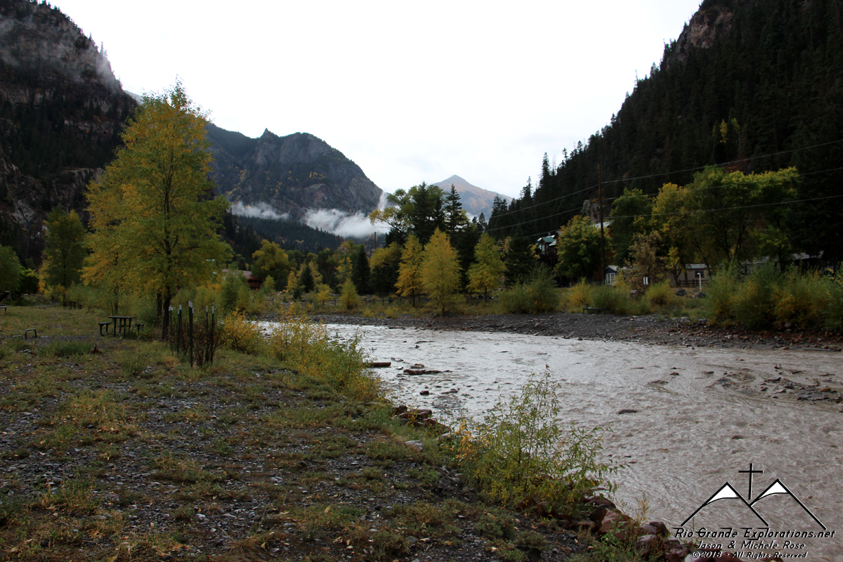
Uncompahgre River About 40 yards behind the RV
|
||||||||||||||
|
|
||||||||||||||
|
|
||||||||||||||
|
|
||||||||||||||
|
|
||||||||||||||
|
|
||||||||||||||
|
|
||||||||||||||
|
|
||||||||||||||
|
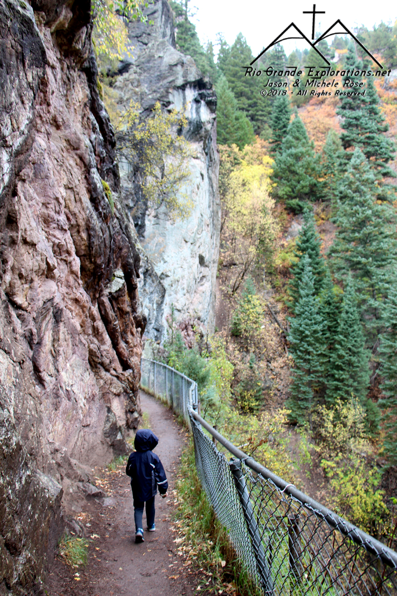
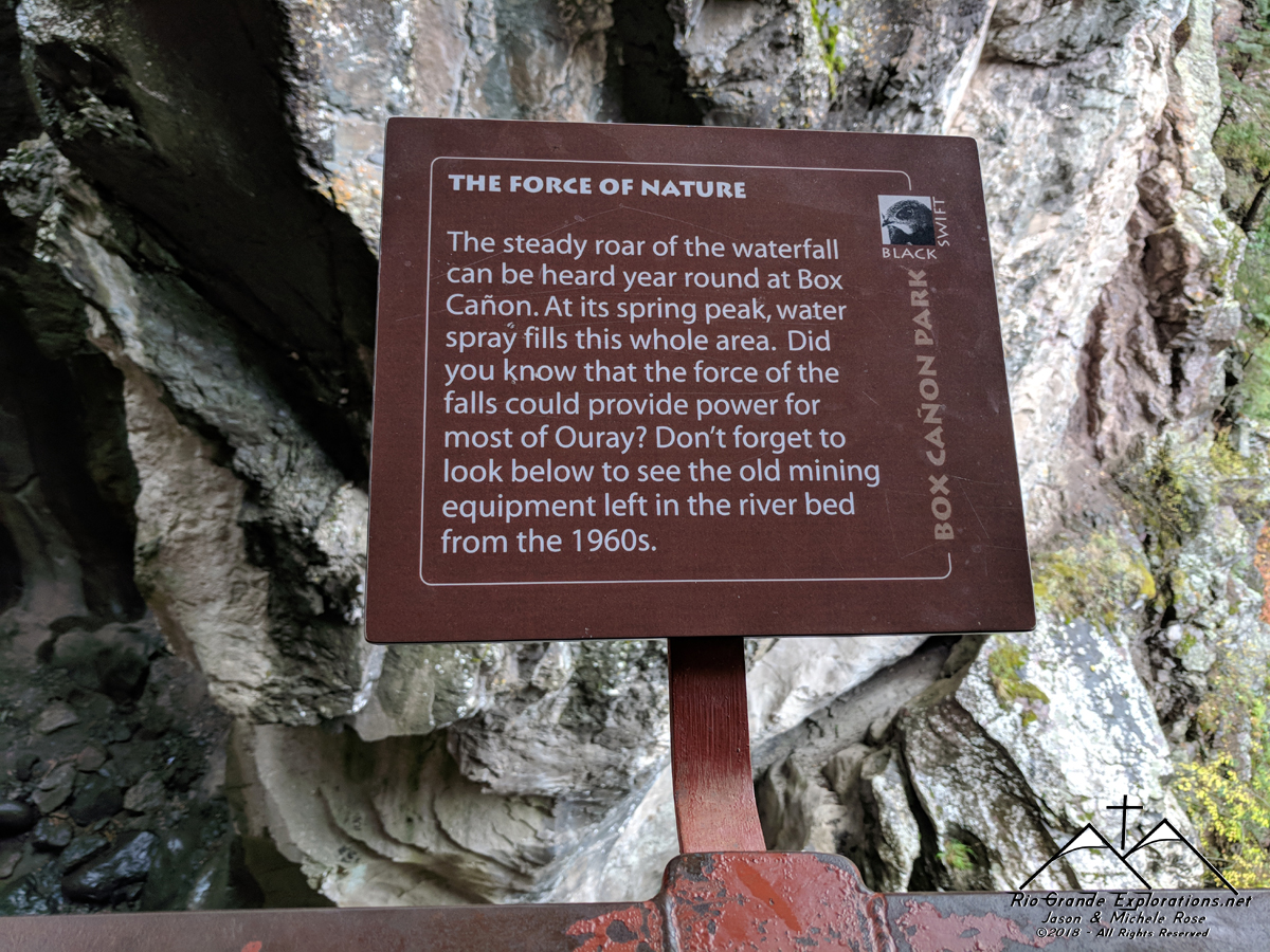
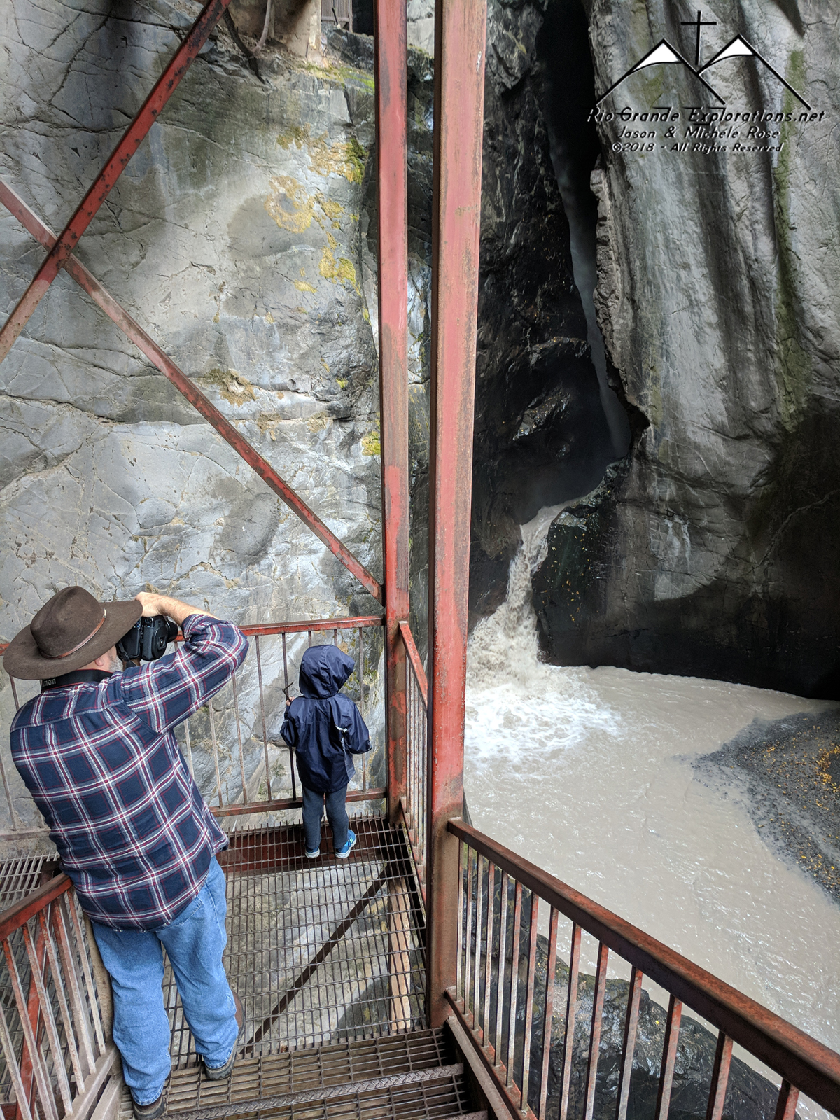
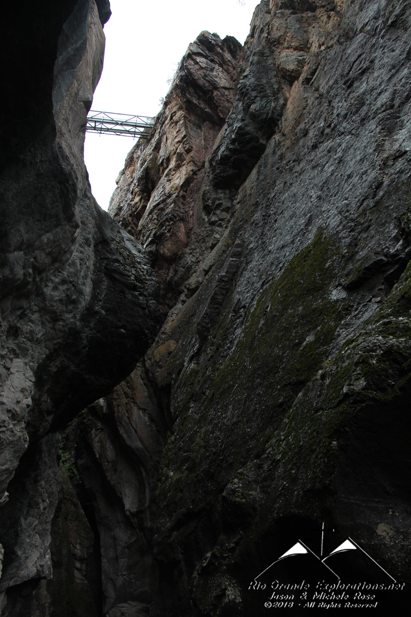
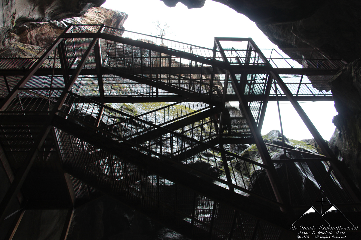
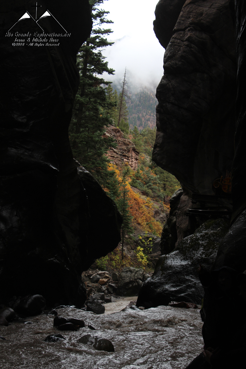
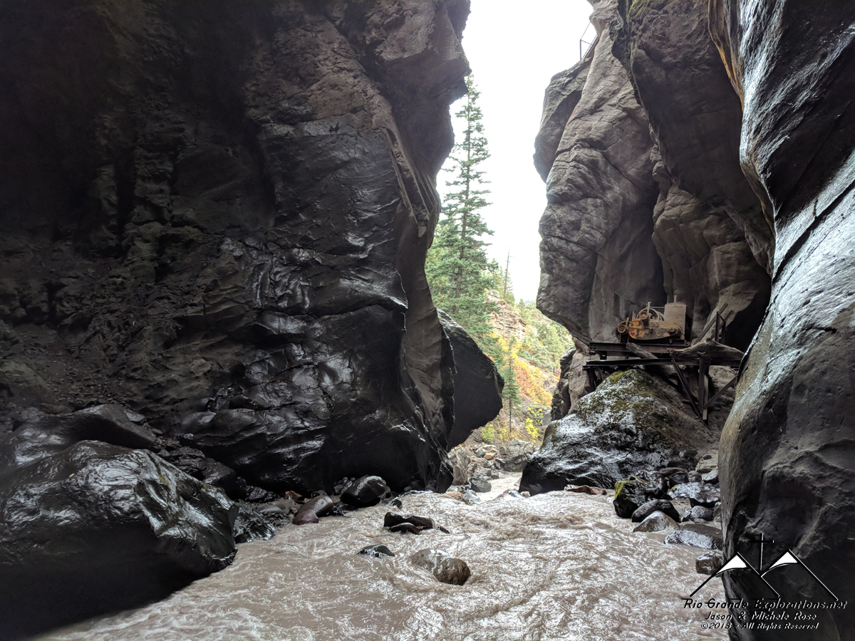
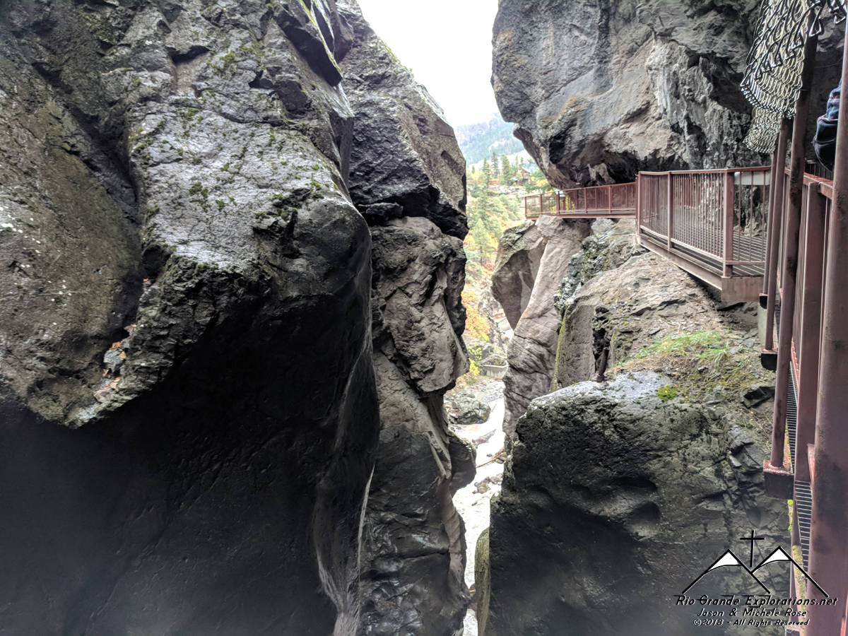
First stop was Box Canyon Falls. The road up to the falls was tight with some light bridges, but we made it.
|
||||||||||||||
|
|
||||||||||||||
|
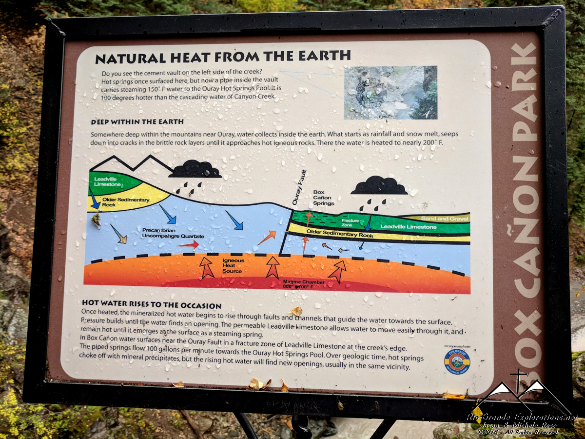
The same sign we saw on our first trip here in 2006.
|
||||||||||||||
|
|
||||||||||||||
|
Gorgeous.
|
||||||||||||||
|
|
||||||||||||||
|
Local
|
||||||||||||||
|
|
||||||||||||||
|
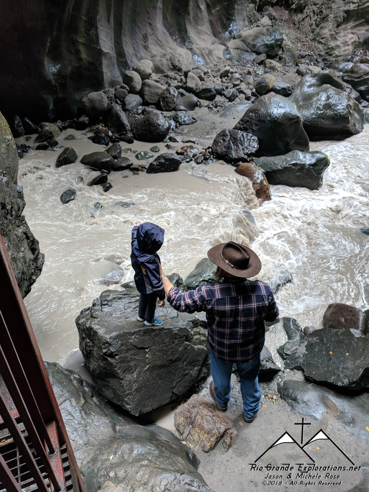
Noah leads the way up the canyon to the falls.
|
||||||||||||||
|
|
||||||||||||||
|
|
||||||||||||||
|
|
||||||||||||||
|
|
||||||||||||||
|
|
||||||||||||||
|
|
||||||||||||||
|
|
||||||||||||||
|
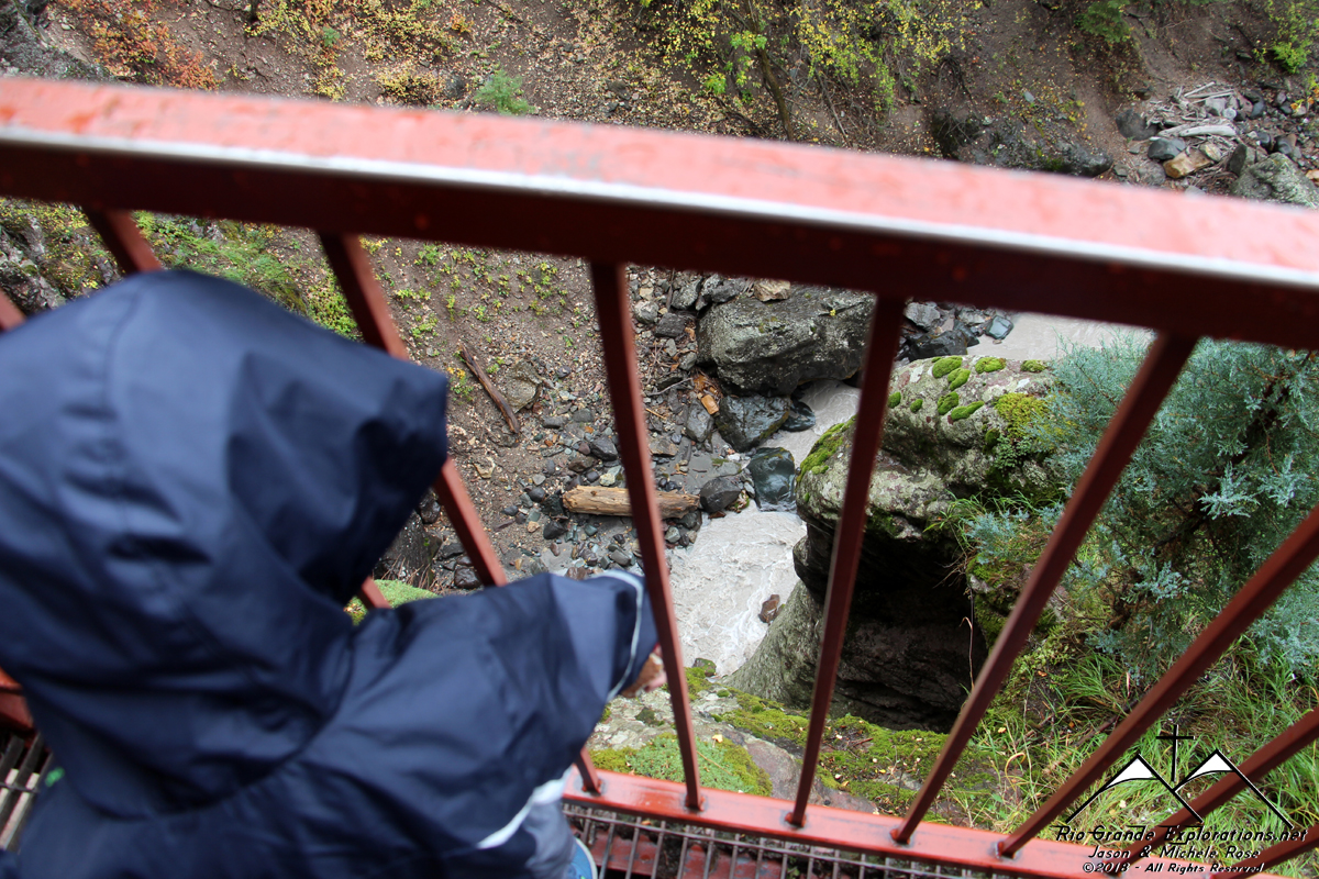
Looking up from the bottom
|
||||||||||||||
|
|
||||||||||||||
|
|
||||||||||||||
|
|
||||||||||||||
|
|
||||||||||||||
|
Old mining equipment
|
||||||||||||||
|
|
||||||||||||||
|
|
||||||||||||||
|
|
||||||||||||||
|
|
||||||||||||||
|
|
||||||||||||||
|
|
||||||||||||||
|
|
||||||||||||||
|
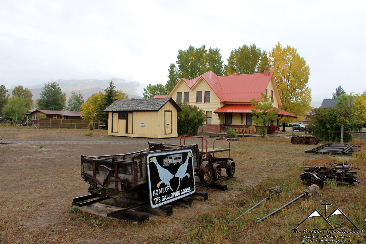
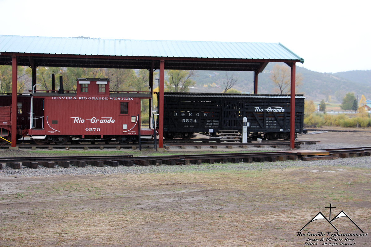
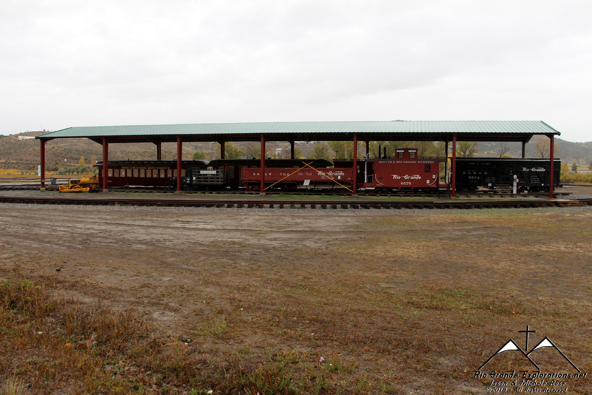
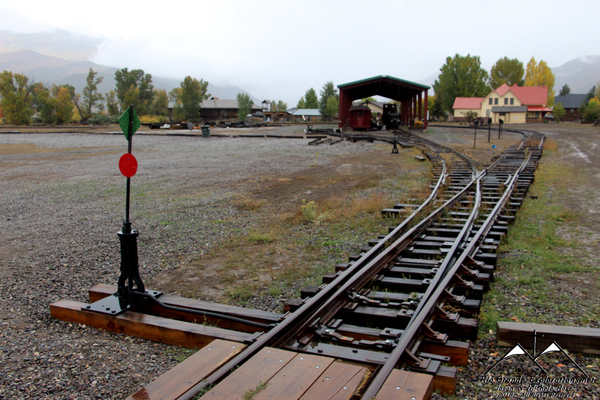
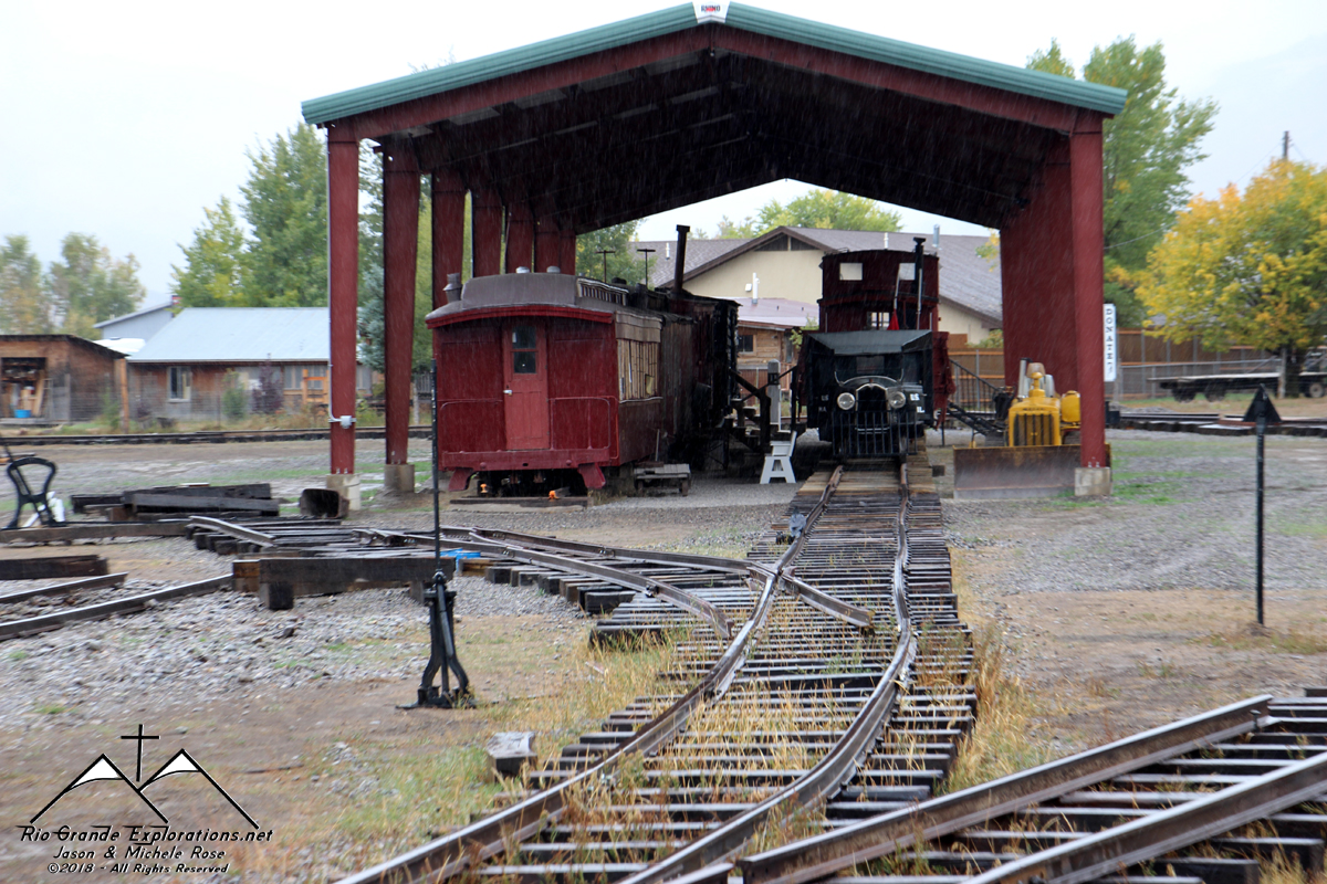
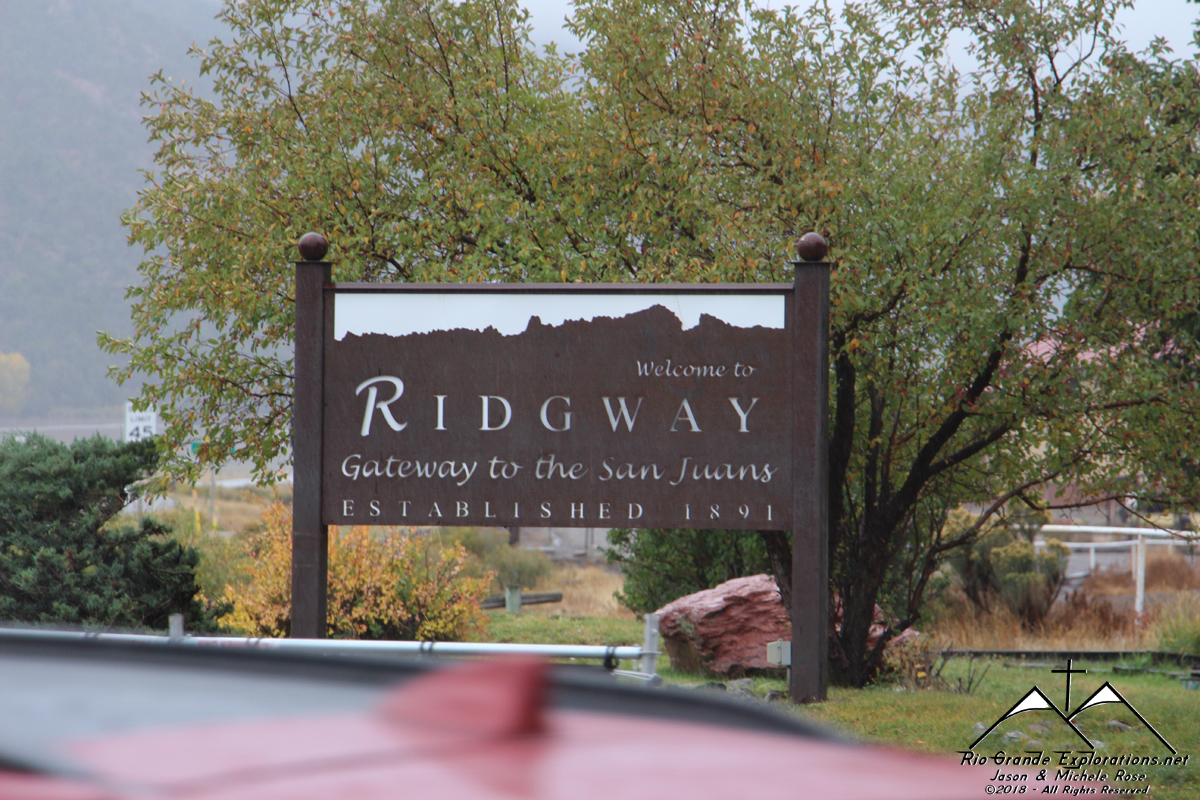
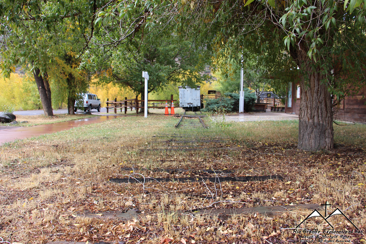
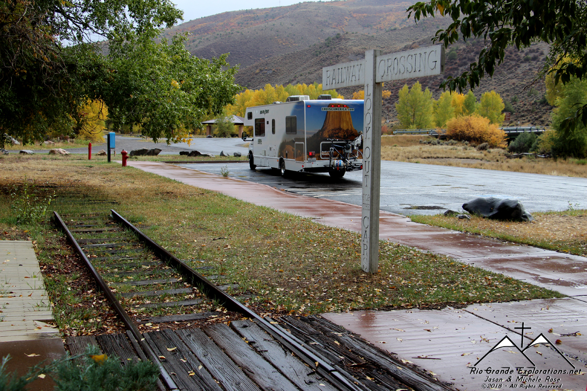
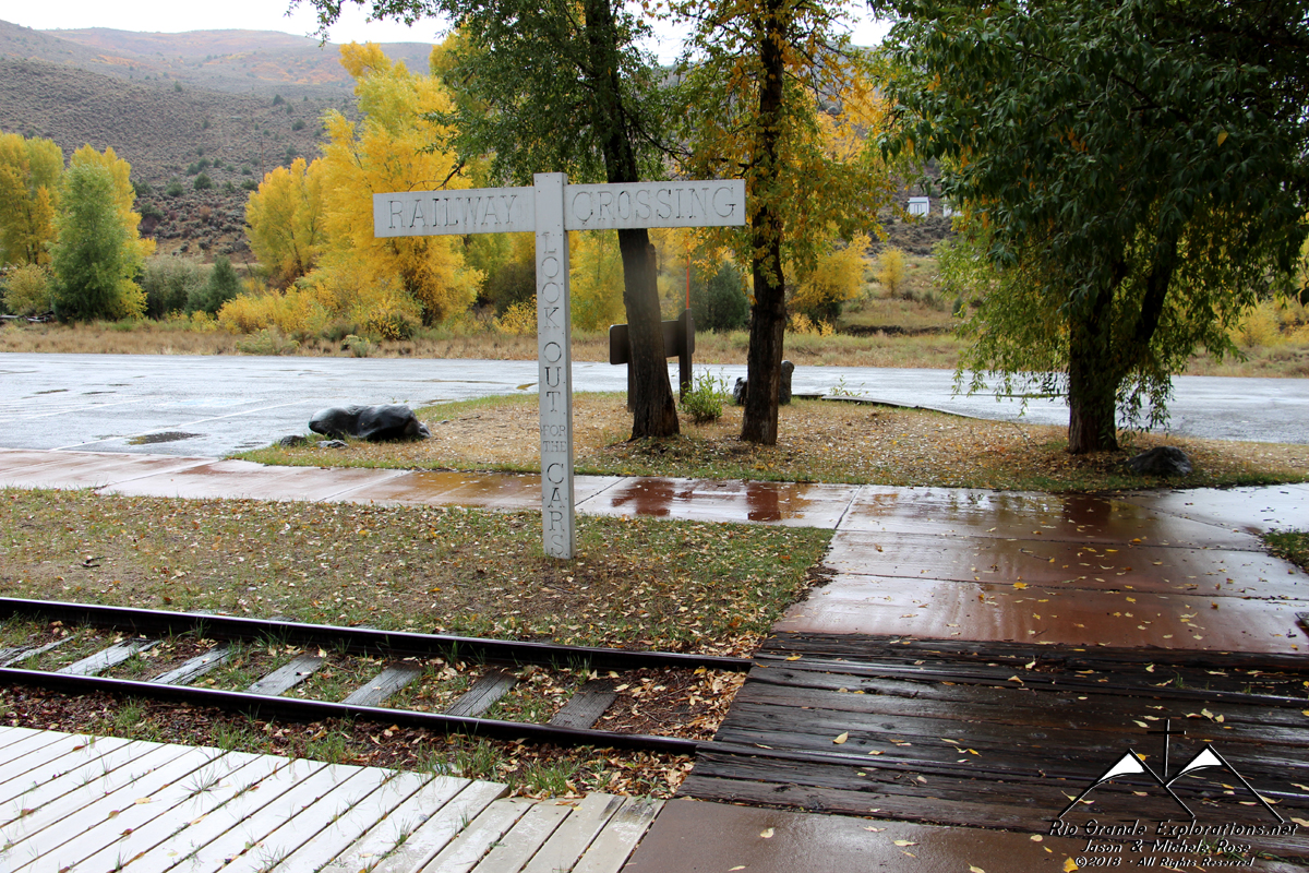
On the way north down the Uncompahgre River valley, we stopped at the new Ridgway Railroad Museum so Daddy could grab a few photos.
|
||||||||||||||
|
|
||||||||||||||
|
|
||||||||||||||
|
|
||||||||||||||
|
|
||||||||||||||
|
|
||||||||||||||
|
|
||||||||||||||
|
The new facility is an incredible improvement over the old museum.
|
||||||||||||||
|
|
||||||||||||||
|
|
||||||||||||||
|
|
||||||||||||||
|
|
||||||||||||||
|
|
||||||||||||||
|
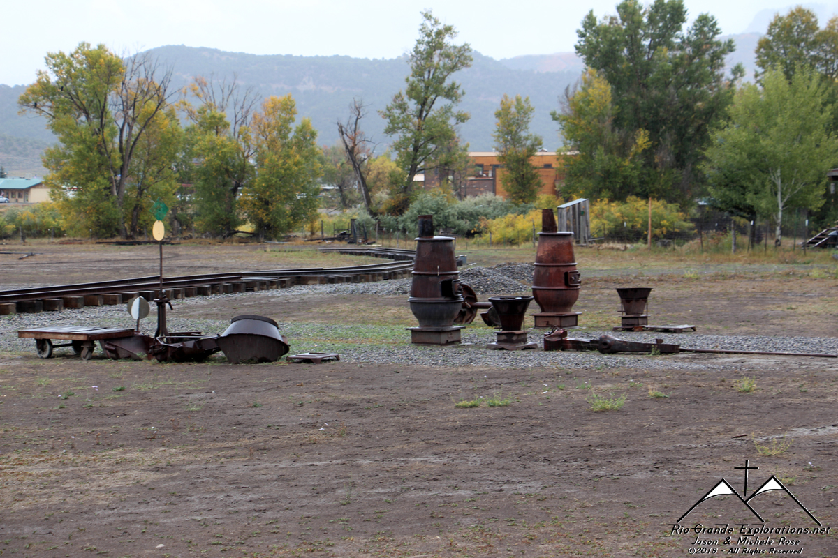
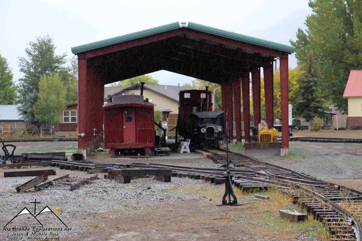
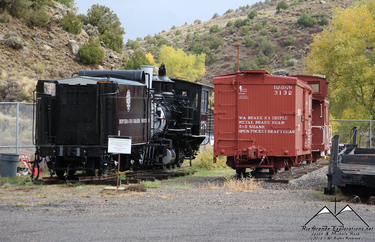
A single boxcar remains at the old museum grounds.
|
||||||||||||||
|
|
||||||||||||||
|
|
||||||||||||||
|
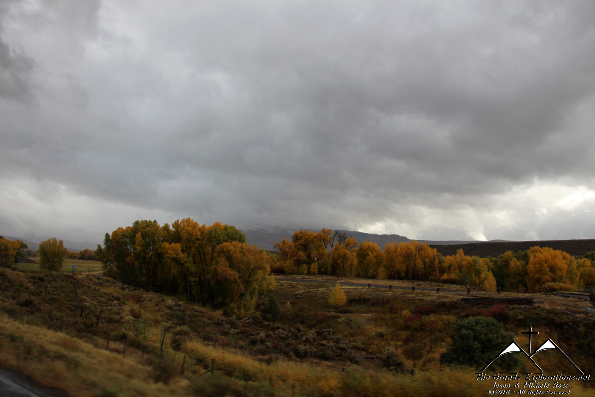
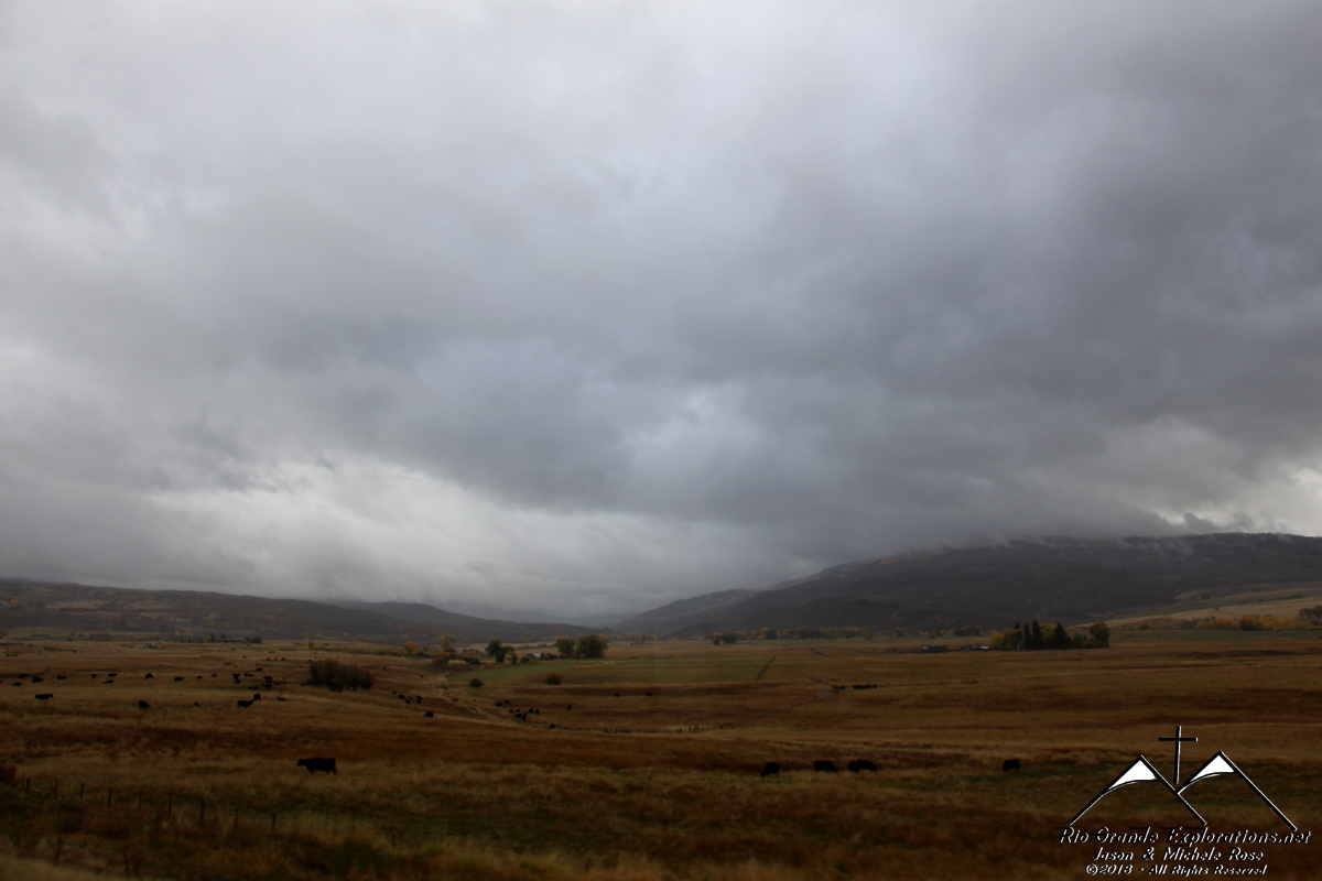
Continuing north to Montrose in the rain. In Montrose the ladies hit a Wal-Mart for a restock while I gassed up the RV with Noah.
|
||||||||||||||
|
|
||||||||||||||
|
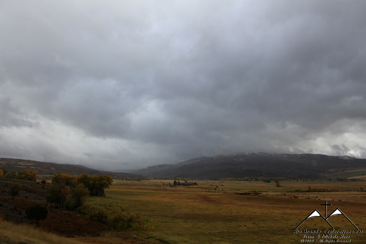
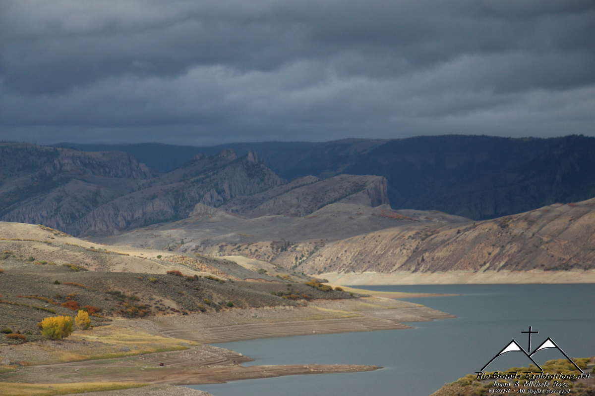
The cooler weather with the rain and low clouds put me in a really happy place. This is my kind of weather! This is near Serro Summit.
|
||||||||||||||
|
|
||||||||||||||
|
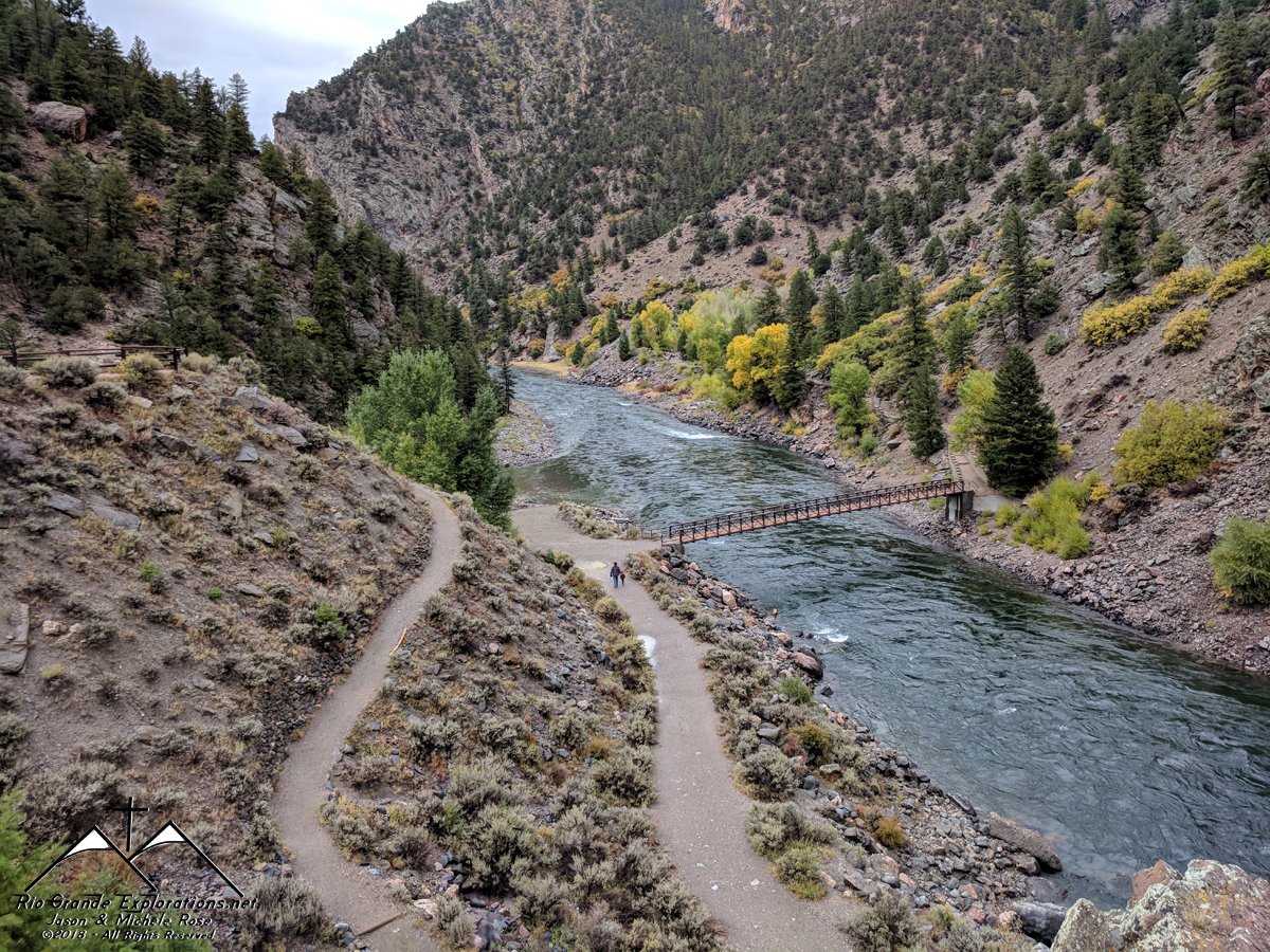
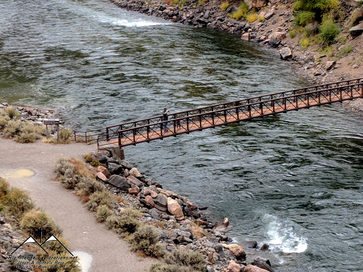
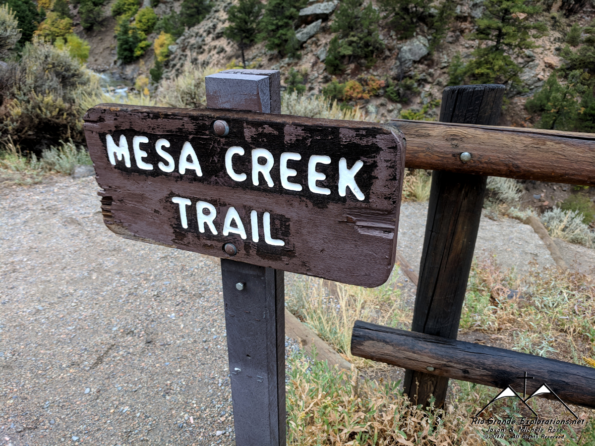
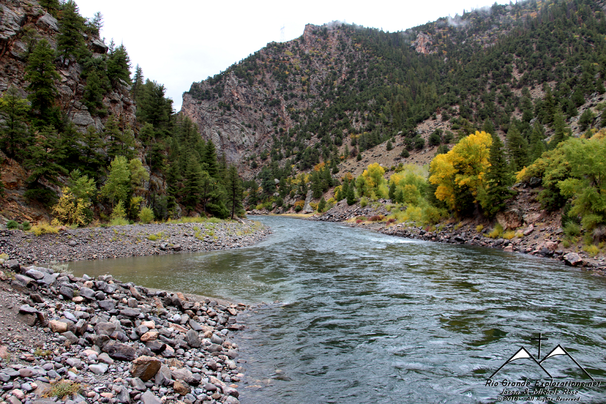
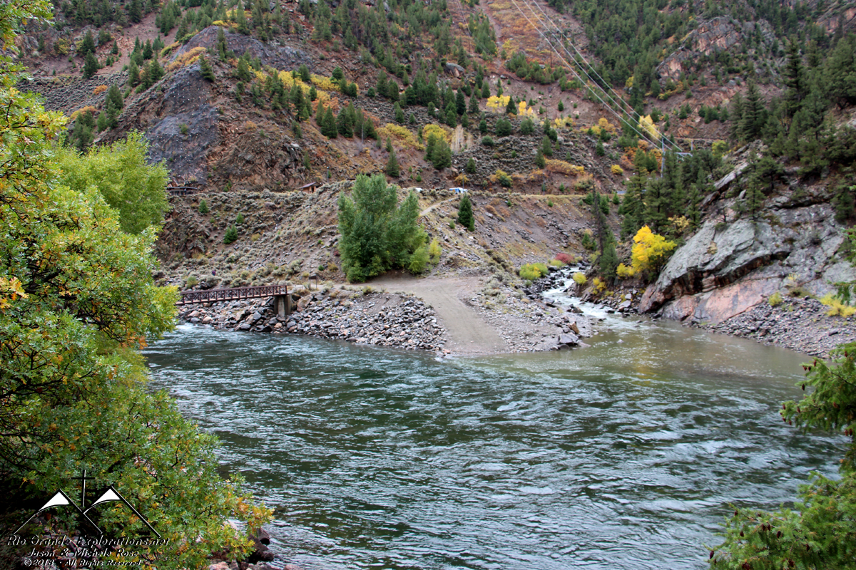
After coming down from Cerro Summit, we stopped in Cimarron to explore a small section of the Black Canyon of the Gunnison River. Noah & I lead the way.
|
||||||||||||||
|
|
||||||||||||||
|
|
||||||||||||||
|
|
||||||||||||||
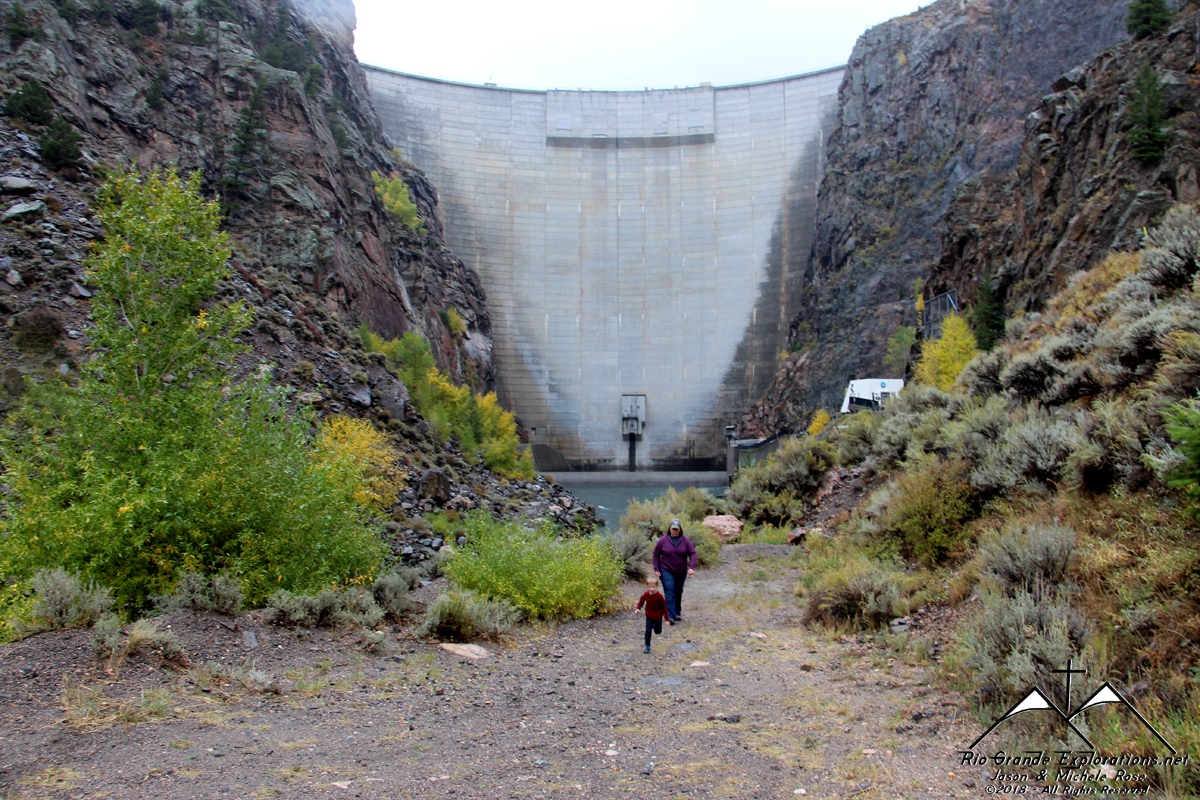
|
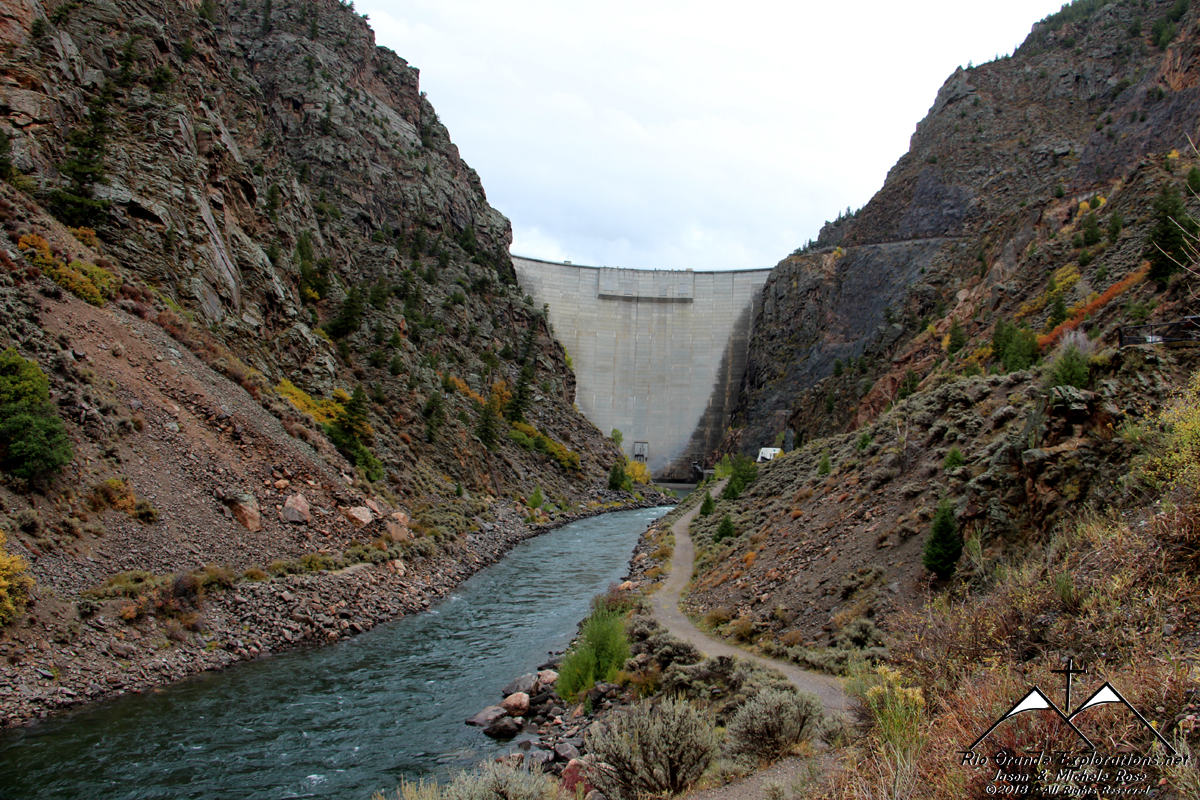
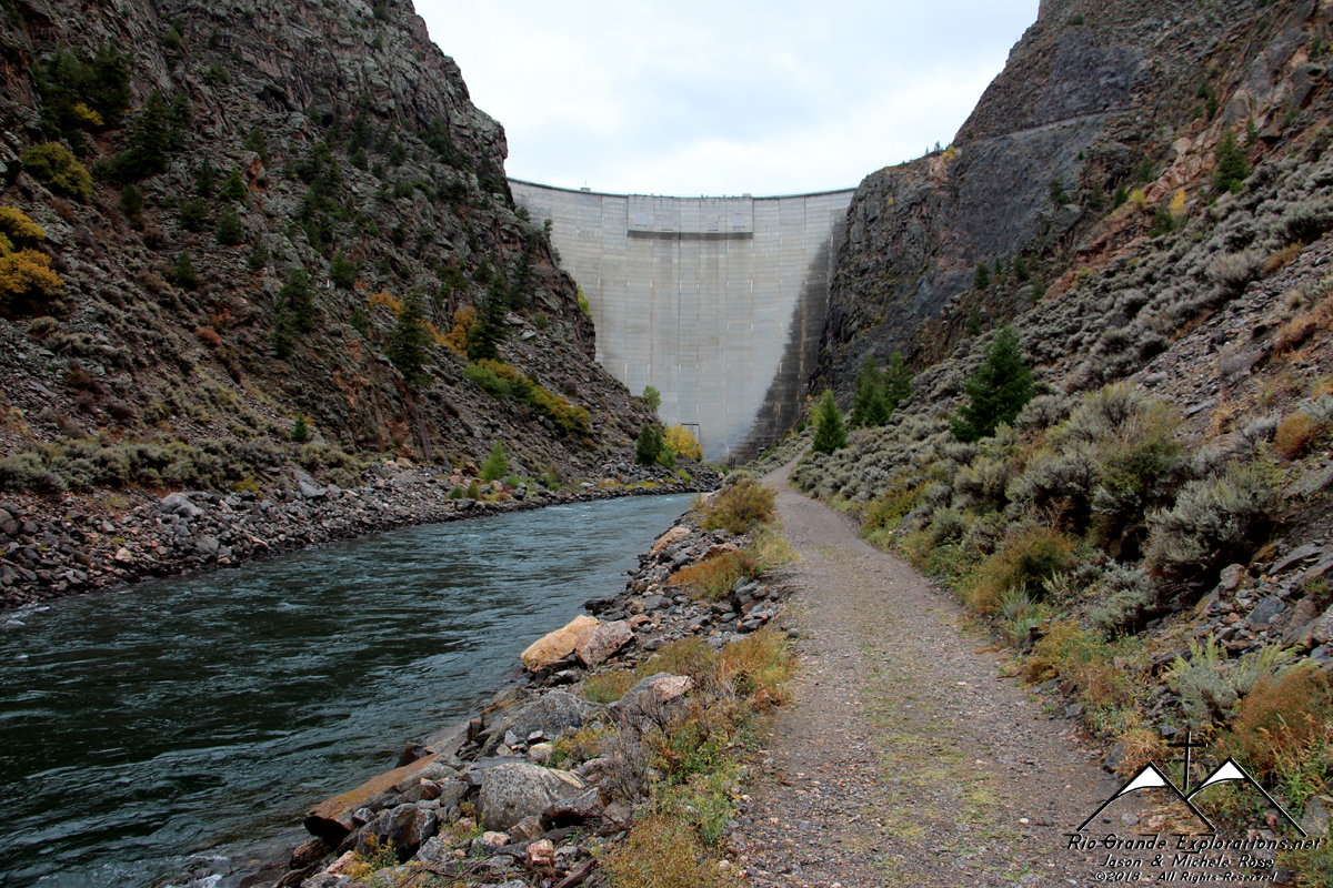
Morrow Point Dam
|
||||||||||||||
|
|
||||||||||||||
|
|
||||||||||||||
|
|
||||||||||||||
|
|
||||||||||||||
|
|
||||||||||||||
|
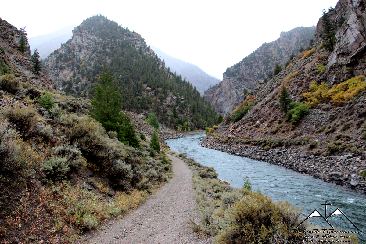
It is utterly serene down in the canyon.
|
||||||||||||||
|
|
||||||||||||||
|
The Gunnison River comes in from the left and is joined by the Cimarron Creek.
|
||||||||||||||
|
|
||||||||||||||
|
Cimarron Creek
|
||||||||||||||
|
|
||||||||||||||
|
Michele comes over the bridge to join us
|
||||||||||||||
|
|
||||||||||||||
|
We met at nice hiker from the Denver area. I don't remember her name, but she was a recent transplant from the midwest and was making an effort to hike everywhere she could in Colorado. We talked for several minutes.
|
||||||||||||||
|
|
||||||||||||||
|
|
||||||||||||||
|
|
||||||||||||||
|
|
||||||||||||||
|
Man... that is just pretty.
|
||||||||||||||
|
|
||||||||||||||
|
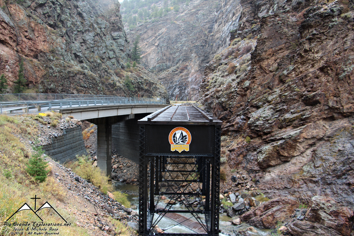
This is the former grade of the Denver & Rio Grande Railroad. It was once the mainline between Denver and Salt Lake City.
|
||||||||||||||
|
|
||||||||||||||
|
This bridge is one of the few remnants of the old railroad. Here is a photo from 2006. The equipment was being repaired and was placed back on the bridge just a few weeks later.
|
||||||||||||||
|
|
||||||||||||||
|
|
||||||||||||||
|
|
||||||||||||||
|
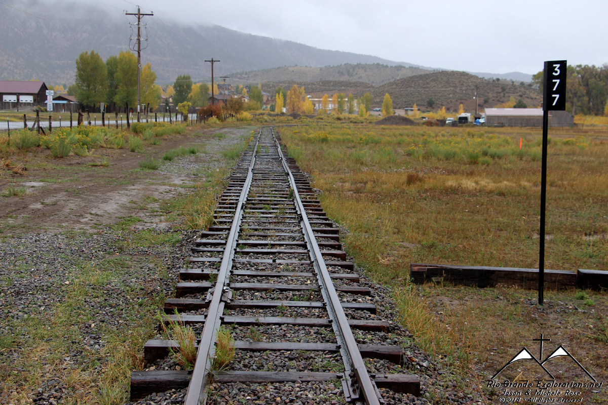
These rails are a recreation but are located where the tail of the Cimarron Wye was located.
|
||||||||||||||
|
|
||||||||||||||
|
Not the original Depot, but still a neat NFS office.
|
||||||||||||||
|
|
||||||||||||||
|
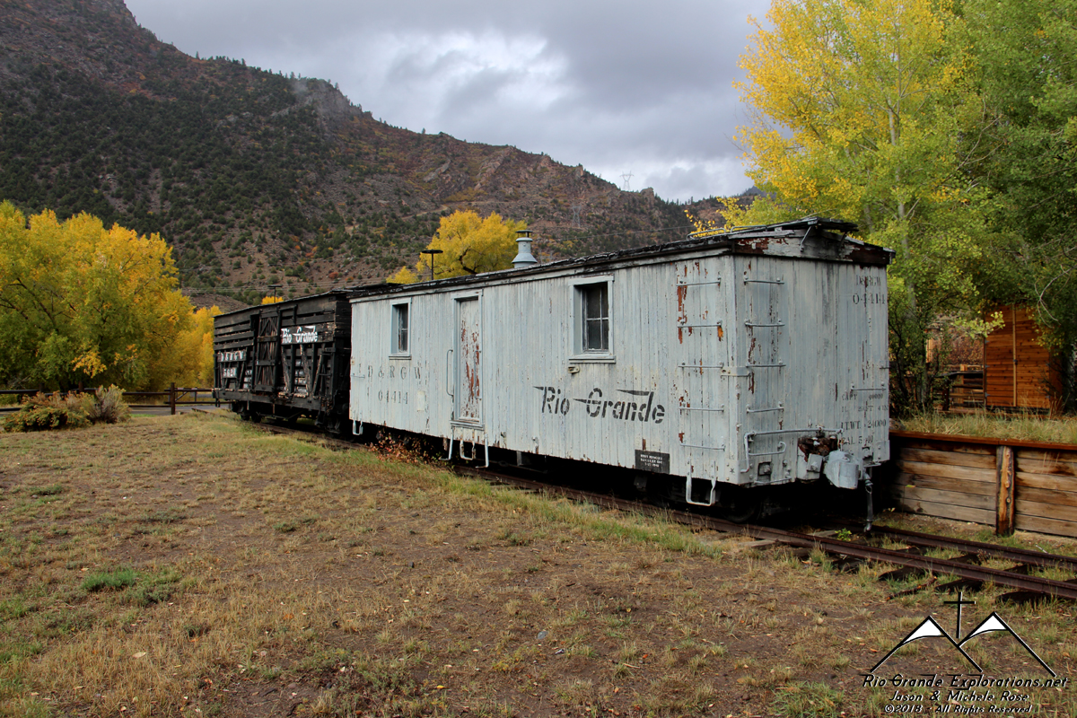
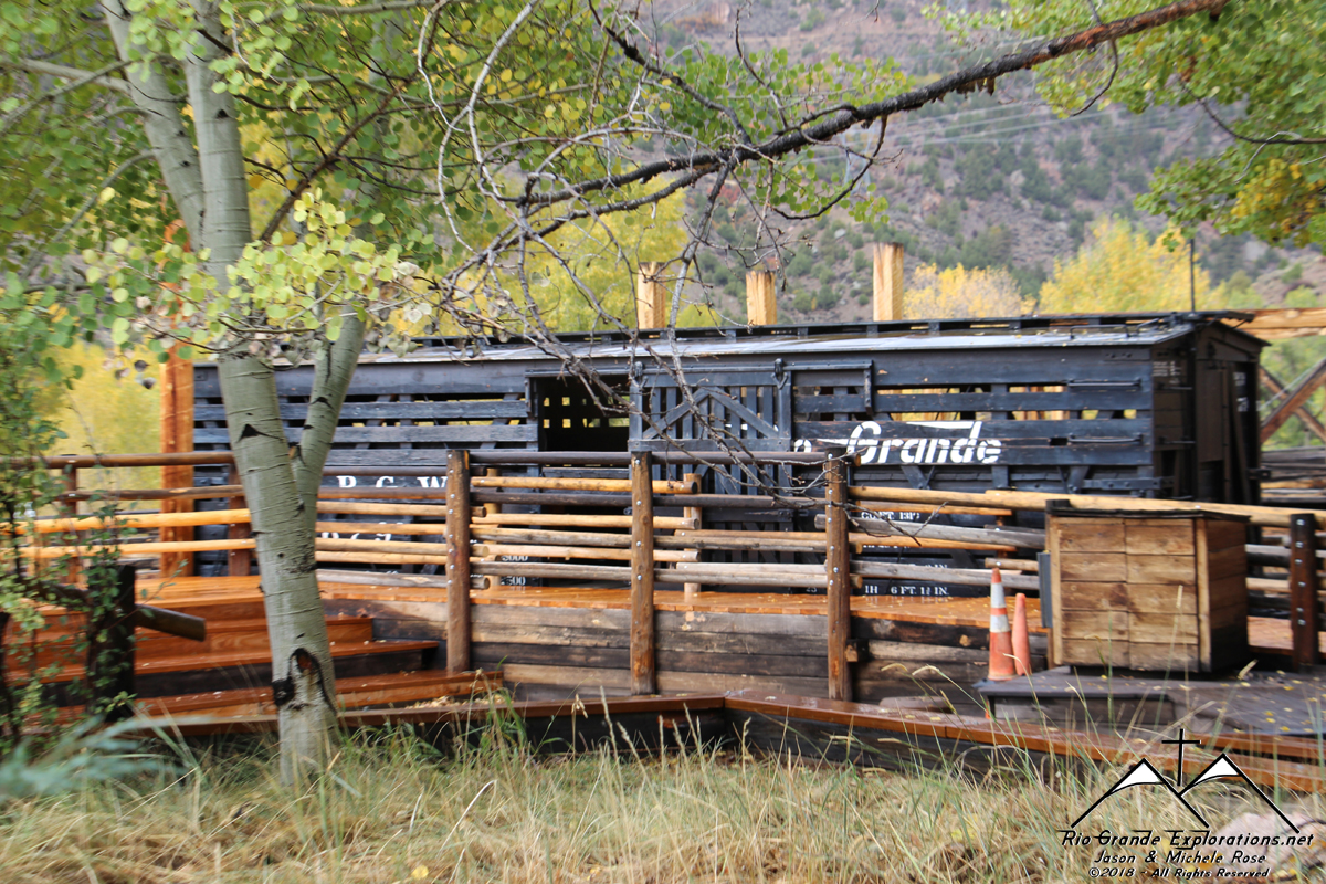
Stock car and stock yard display.
|
||||||||||||||
|
|
||||||||||||||
|
|
||||||||||||||
|
|
||||||||||||||
|
|
||||||||||||||
|
Here is the display equipment from the bridge.
|
||||||||||||||
|
|
||||||||||||||
|
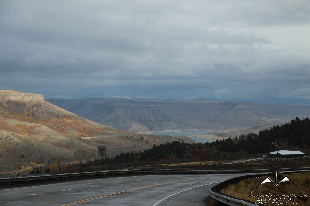
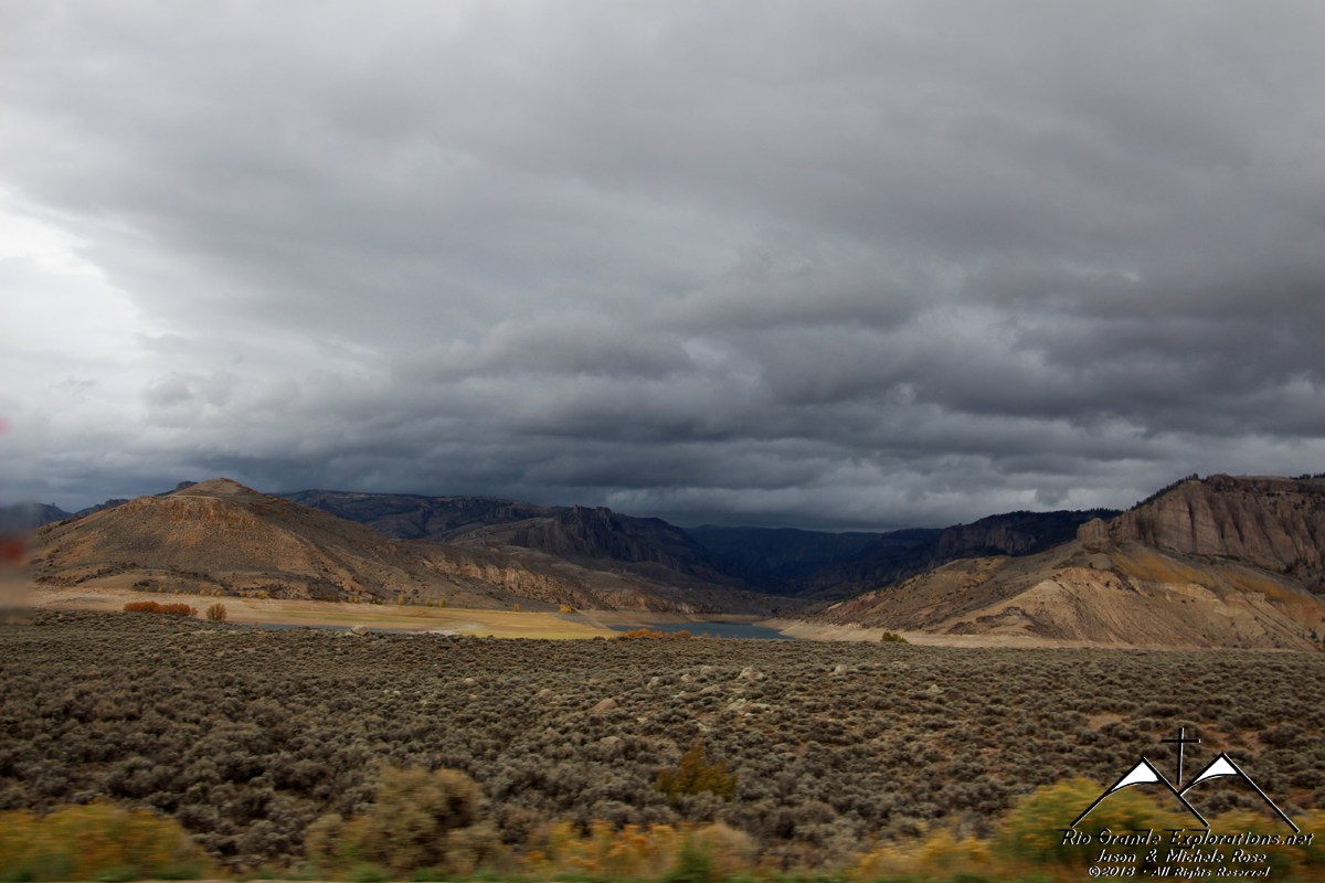
Continuing east towards the Blue Mesa Reservoir and Gunnison
|
||||||||||||||
|
|
||||||||||||||
|
|
||||||||||||||
|
|
||||||||||||||
|
|
||||||||||||||
|
|
||||||||||||||
|
|
||||||||||||||
|
|
||||||||||||||
|
|
||||||||||||||
|
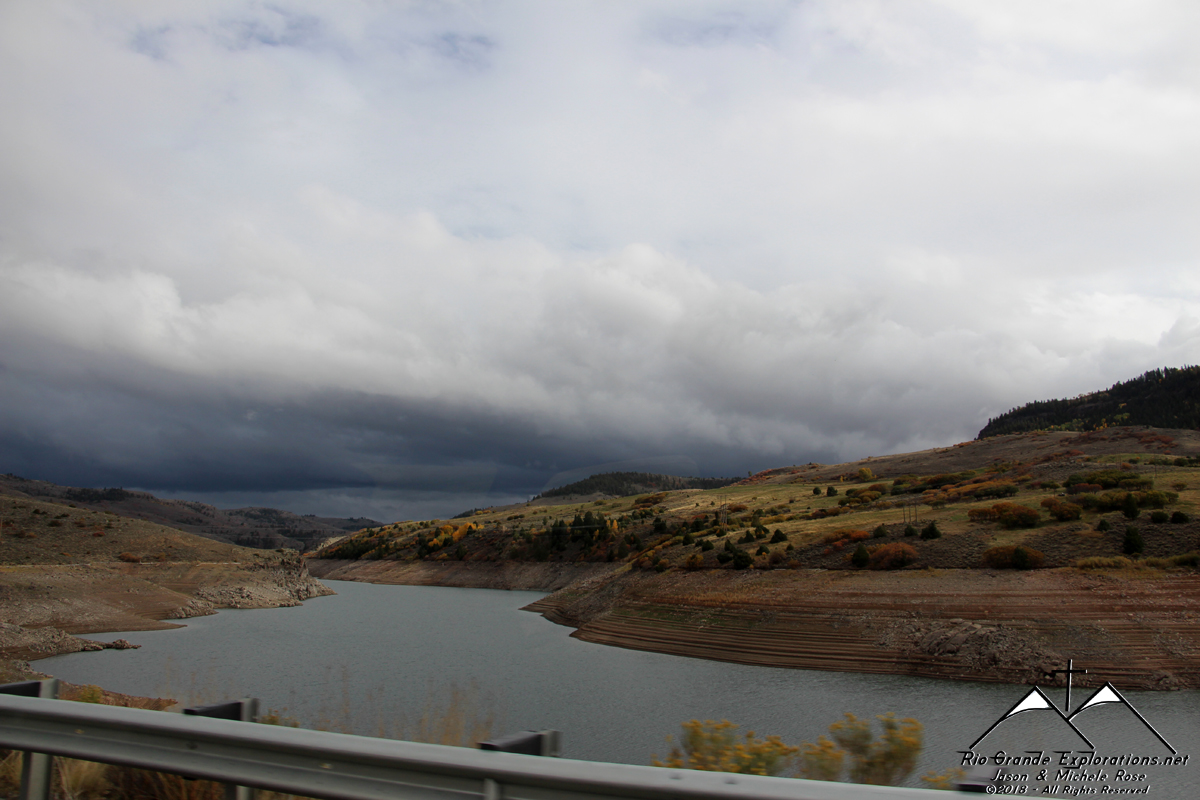
The weather really aided in creating some beautiful images. |
||||||||||||||
|
|
||||||||||||||
|
|
||||||||||||||
|
Man, that's purdy
|
||||||||||||||
|
|
||||||||||||||
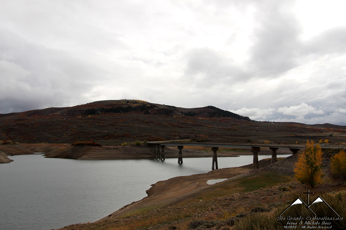
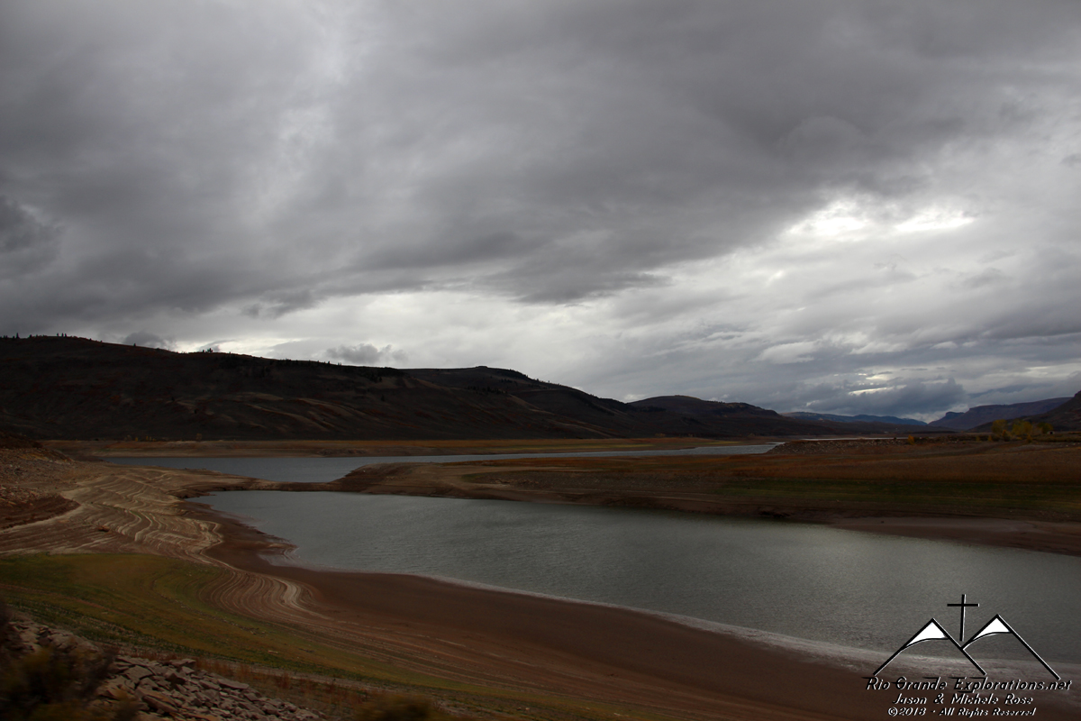
|
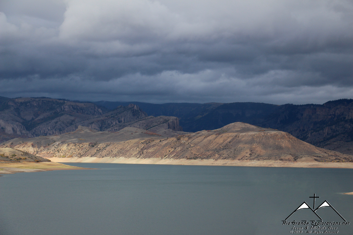
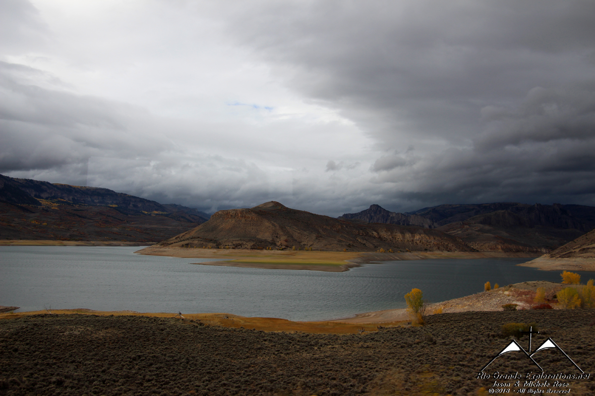
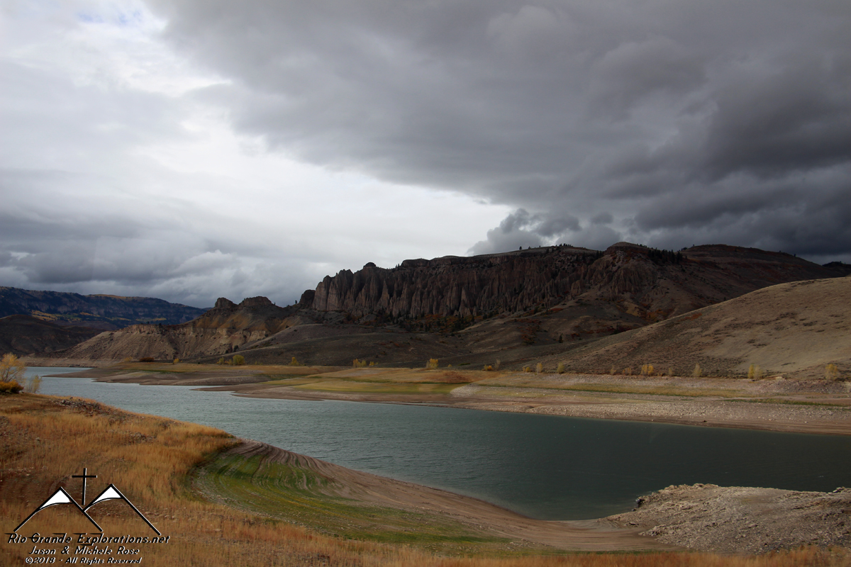
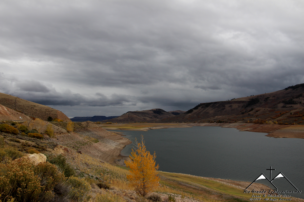
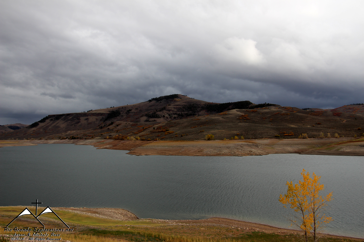
Blue Mesa Reservoir
|
||||||||||||||
|
|
||||||||||||||
|
|
||||||||||||||
|
|
||||||||||||||
|
|
||||||||||||||
|
|
||||||||||||||
|
Hard to believe we got such neat photos from a moving RV.
|
||||||||||||||
|
|
||||||||||||||
|
|
||||||||||||||
|
|
||||||||||||||
|
|
||||||||||||||
|
|
||||||||||||||
|
|
||||||||||||||
|
|
||||||||||||||
|
|
||||||||||||||
|
|
||||||||||||||
|
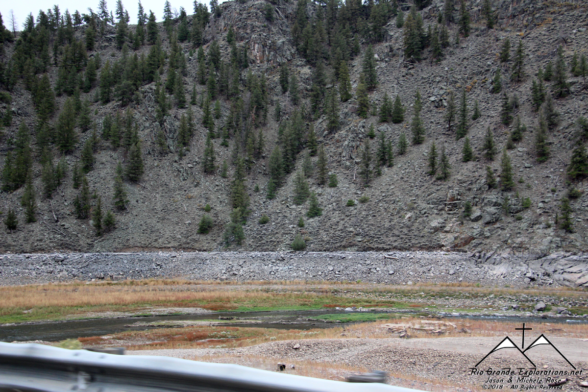
The long-abandoned grade of the Rio Grande is clearly visible just across the river.
|
||||||||||||||
|
|
||||||||||||||
|
The grade is on the right and curves to center.
|
||||||||||||||
|
|
||||||||||||||
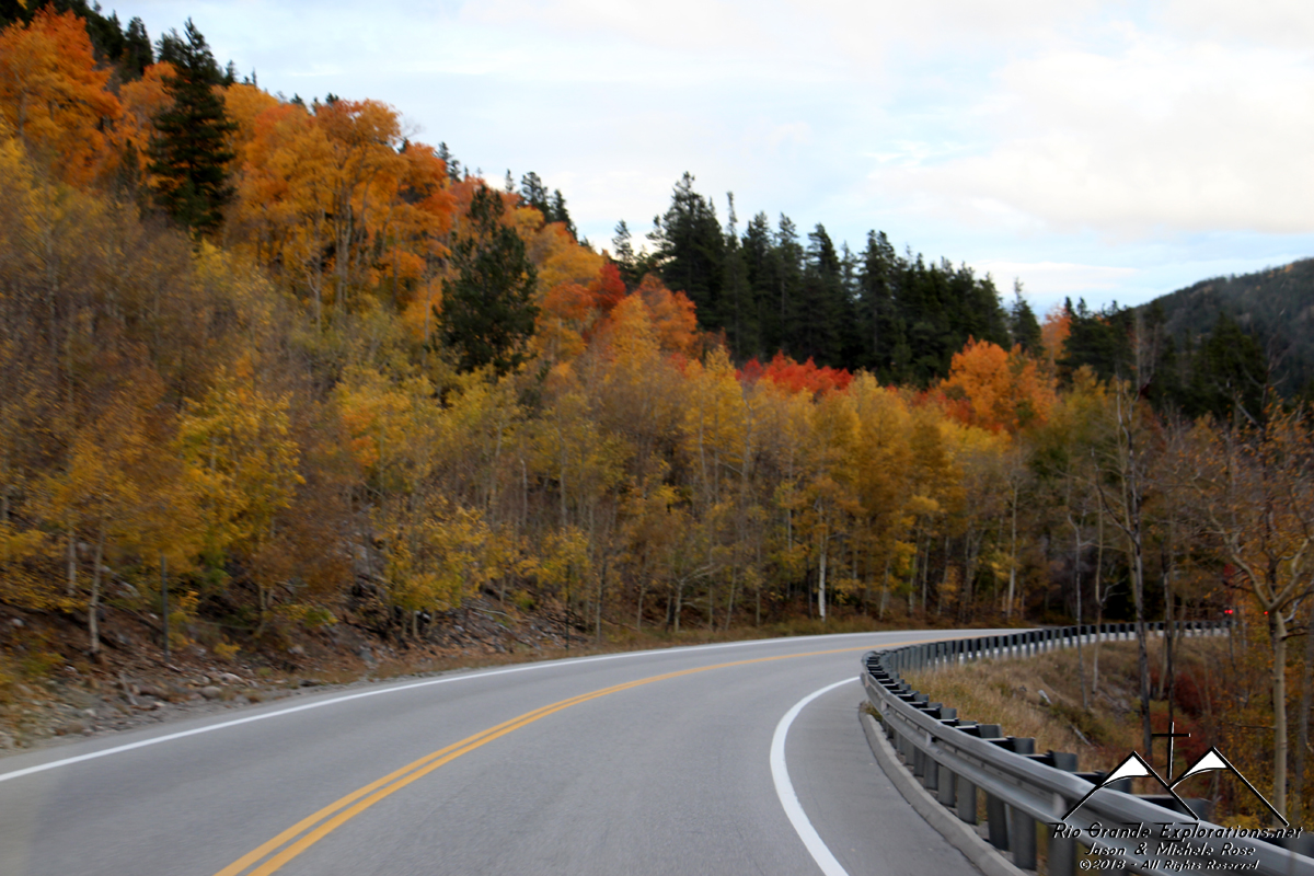
|
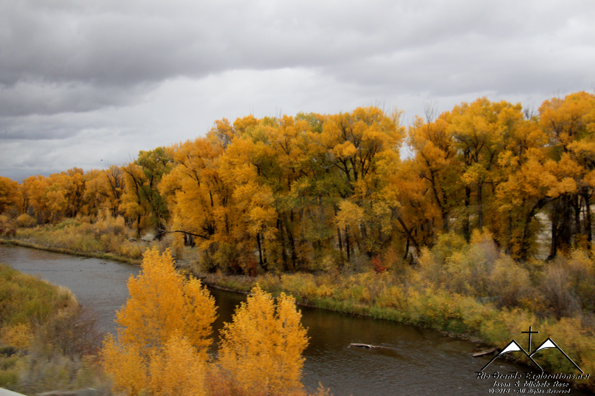
The fall colors increase and we start climbing out of the basin towards Gunnison.
|
||||||||||||||
|
|
||||||||||||||
|
We stopped briefly in Gunnison so Momma could make Noah a sandwich. No time for anything else, unfortunately.
|
||||||||||||||
|
|
||||||||||||||
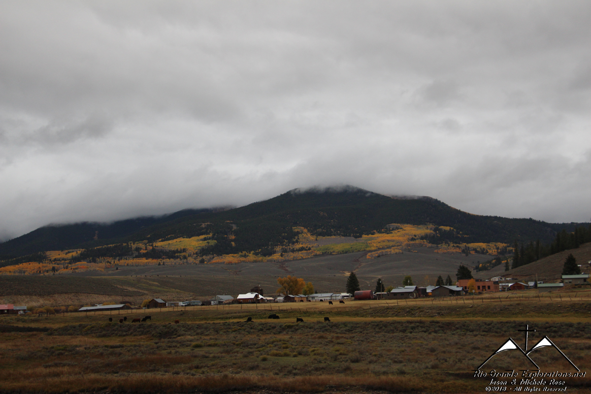
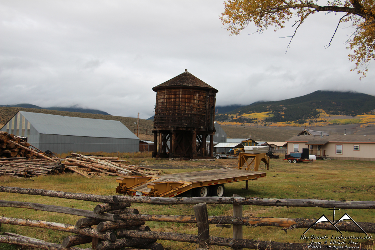
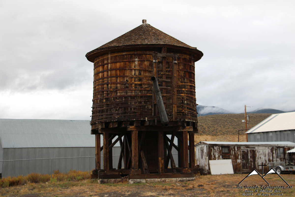
|
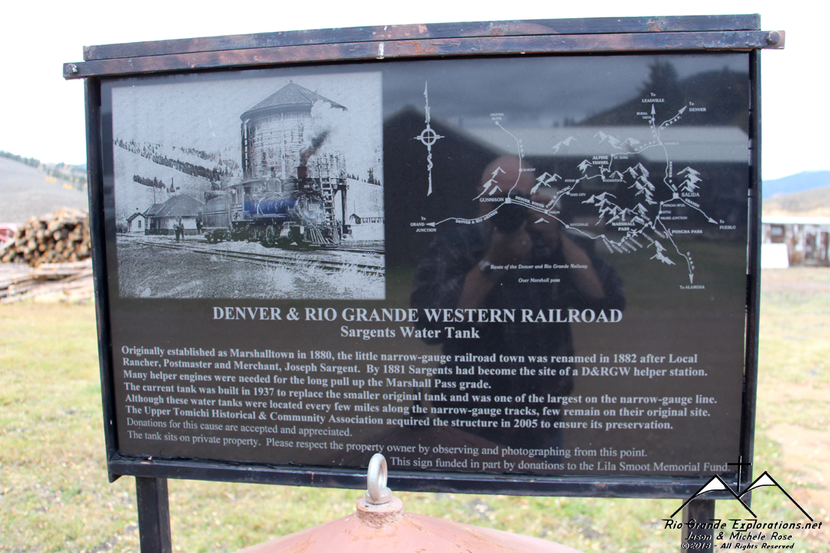
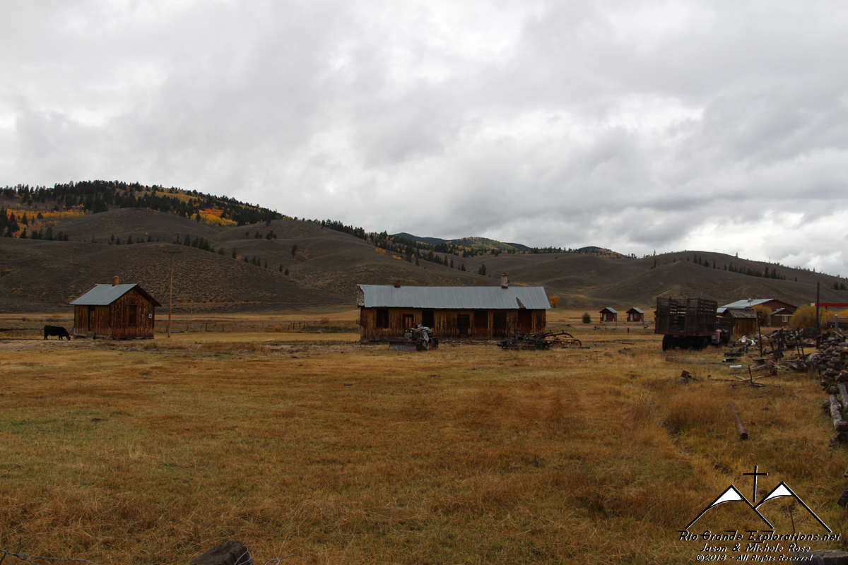
Sargent, Colorado.
|
||||||||||||||
|
|
||||||||||||||
|
Sargent was once a small version of Chama. Helper locomotives were stationed here to assist eastbound trains over Marshall Pass. A few small structures and the tank are all that's left of this once large yard that had a roundhouse and coal trestle.
|
||||||||||||||
|
|
||||||||||||||
|
Railroad structure.
|
||||||||||||||
|
|
||||||||||||||
|
Bunk house? The Depot is at the Pioneer Museum in Gunnison.
|
||||||||||||||
|
|
||||||||||||||
|
Another railroad structure.
|
||||||||||||||
|
|
||||||||||||||
|
|
||||||||||||||
|
Native
|
||||||||||||||
|
|
||||||||||||||
|
|
||||||||||||||
|
|
||||||||||||||
|
|
||||||||||||||
|
|
||||||||||||||
|
|
||||||||||||||
|
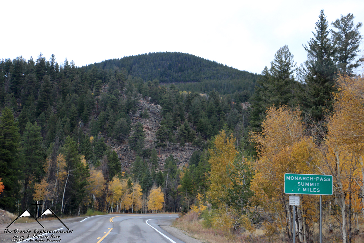
Continuing up Monarch Pass. The railroad went over Marshall Pass just to the south.
|
||||||||||||||
|
|
||||||||||||||
|
|
||||||||||||||
|
|
||||||||||||||
|
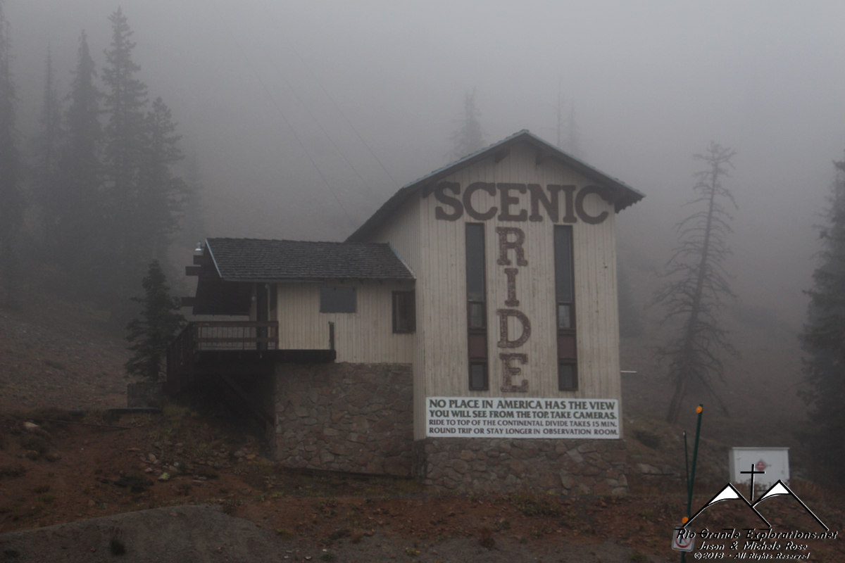
We rode the gondolas in 2010 and got stuck. Despite the problems, it was well-worth the view at the top. Simply incredible. We'll go back some day to show Noah.
|
||||||||||||||
|
|
||||||||||||||
|
|
||||||||||||||
|
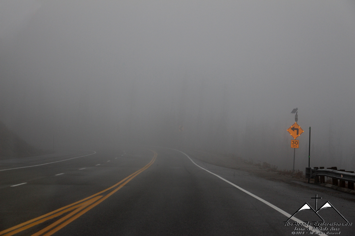
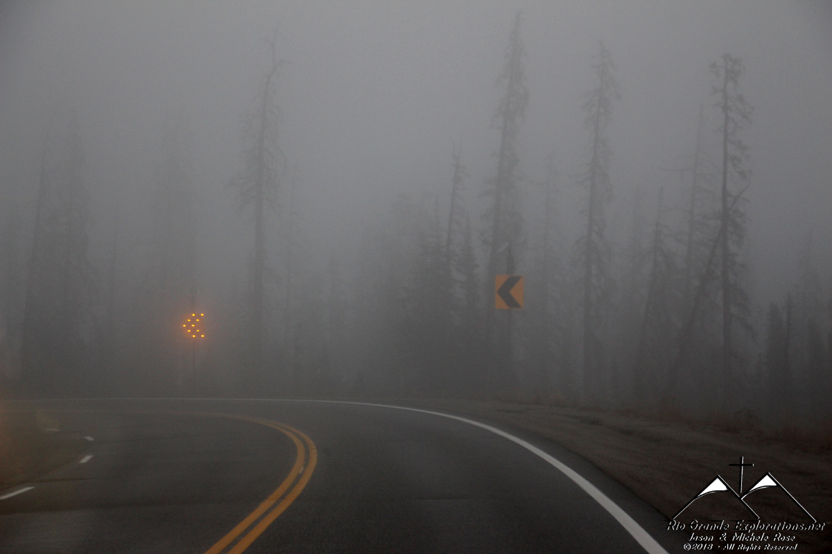
Heading down the east side in the fog. It was slow-going...
|
||||||||||||||
|
|
||||||||||||||
|
|
||||||||||||||
|
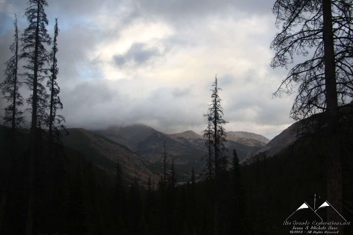
Coming out of the fog.
|
||||||||||||||
|
|
||||||||||||||
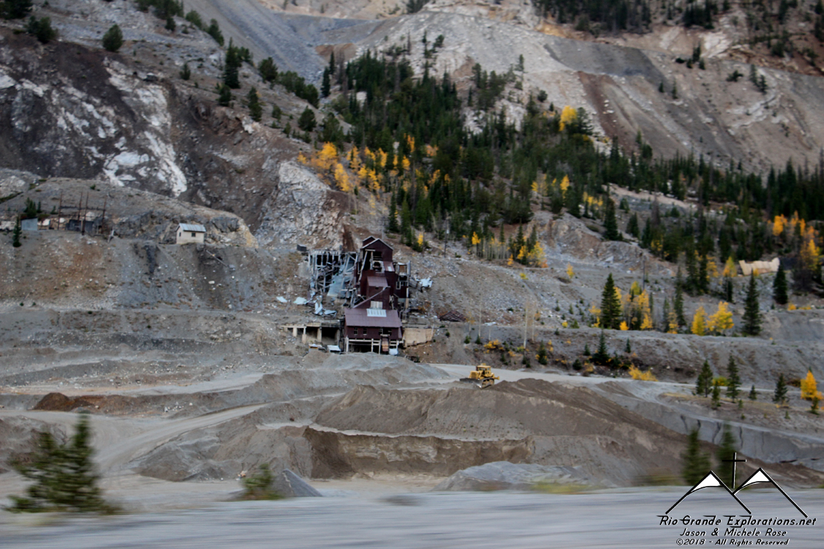
|
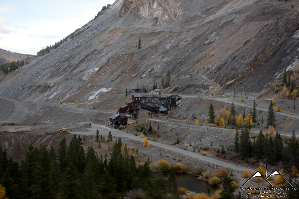
Monarch limestone mine. The Rio Grande had both a narrow and standard gauge branch up to this lofty elevation until the 1980s.
|
||||||||||||||
|
|
||||||||||||||
|
|
||||||||||||||
|
|
||||||||||||||
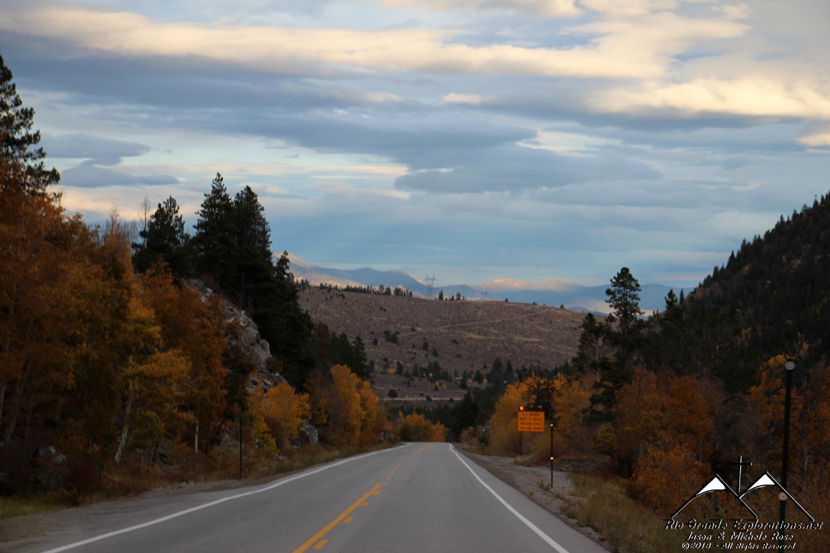
|
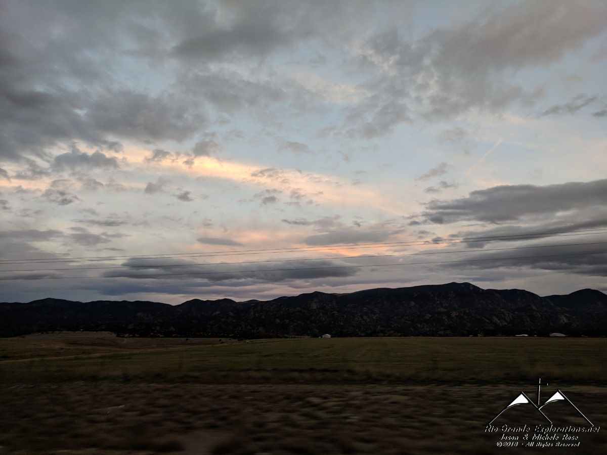
Blue skies for the first time in 3 days.
|
||||||||||||||
|
|
||||||||||||||
|
|
||||||||||||||
|
|
||||||||||||||
|
Michele took position in the passenger seat to get these photos. Very pretty.
|
||||||||||||||
|
|
||||||||||||||
|
|
||||||||||||||
|
We arrived at the Chalk Creek RV park just before dark. It was nearly deserted, but quite nice. After securing and connecting the RV, we walked down to the playground and let Noah go nuts for a while. This was another great day in God's Country. |
||||||||||||||
|
|